Welcome back to my overland blog, only this time it ain’t about my journey through Africa. Instead, this series of posts is about a short, one-month long overland trip to Patagonia with Nancy and Caitlin beginning February 17, 2026. Yes, that’s right, Caitlin is joining Nancy and I for this overland journey. Indeed, this year’s journey back to Patagonia for Nancy and I came at the special request of Caitlin, who saw pictures from our Patagonia trip last year and decided it was a must see destination for her.
Note, if you are new to my blog and you want to get email notifications of new posts, then send me an email with a request or fill in the information on the Contact page and request being added, but be sure to let me know who you are (i.e., how I might know you or why you want to join) because I don’t add anonymous requests.
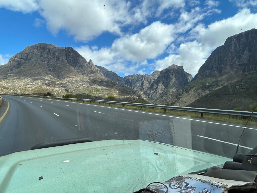
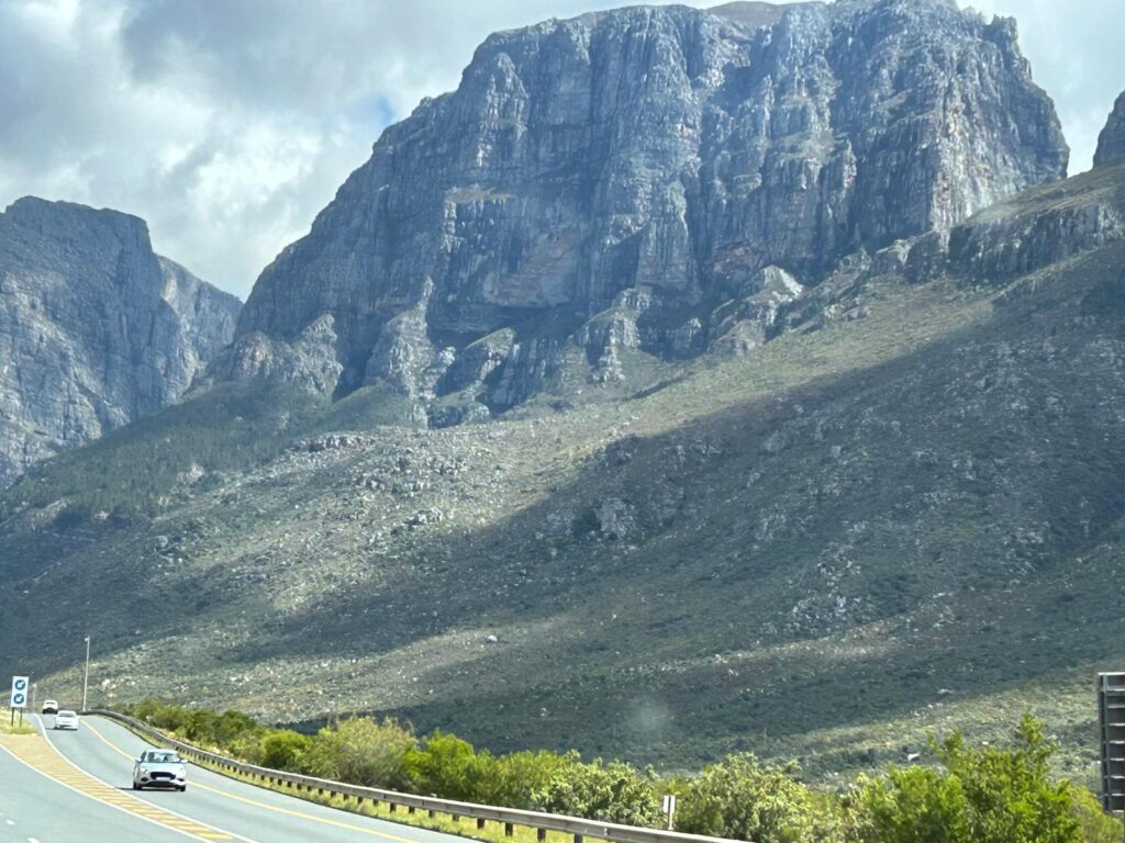
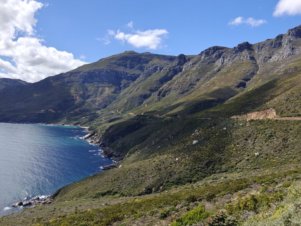
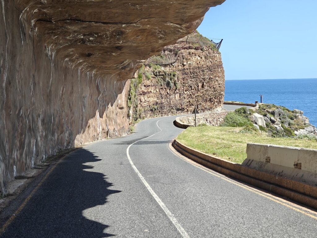
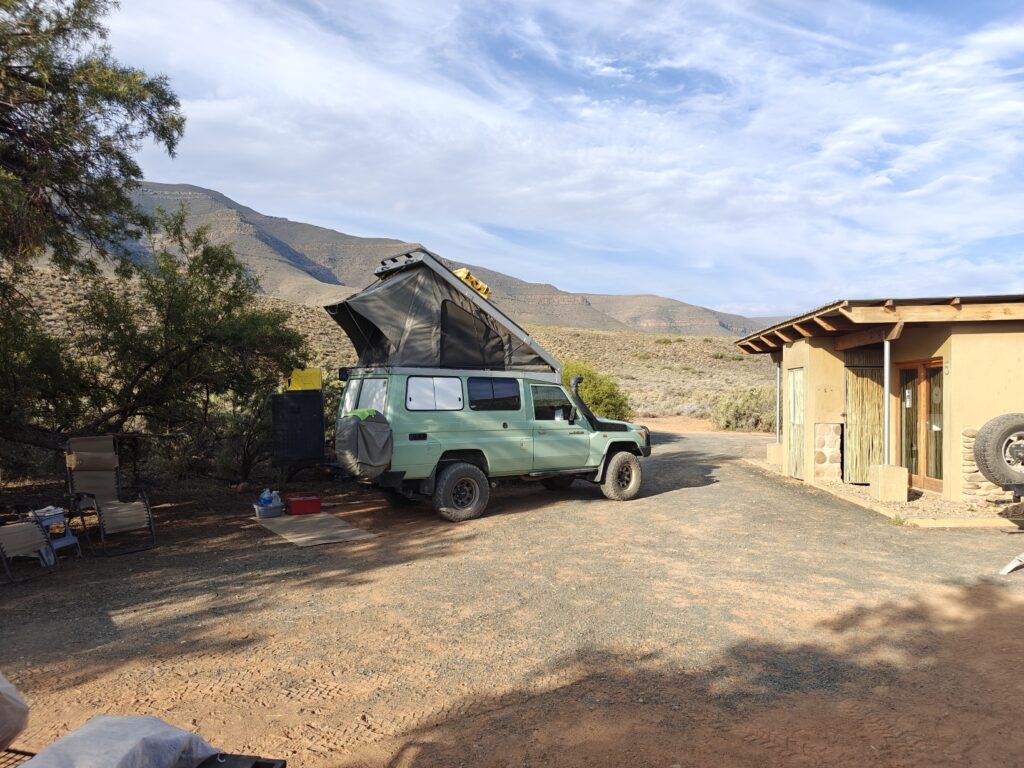
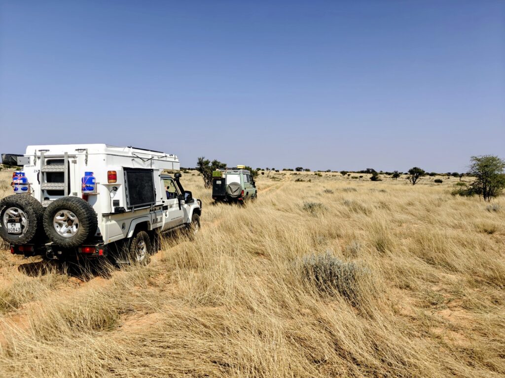
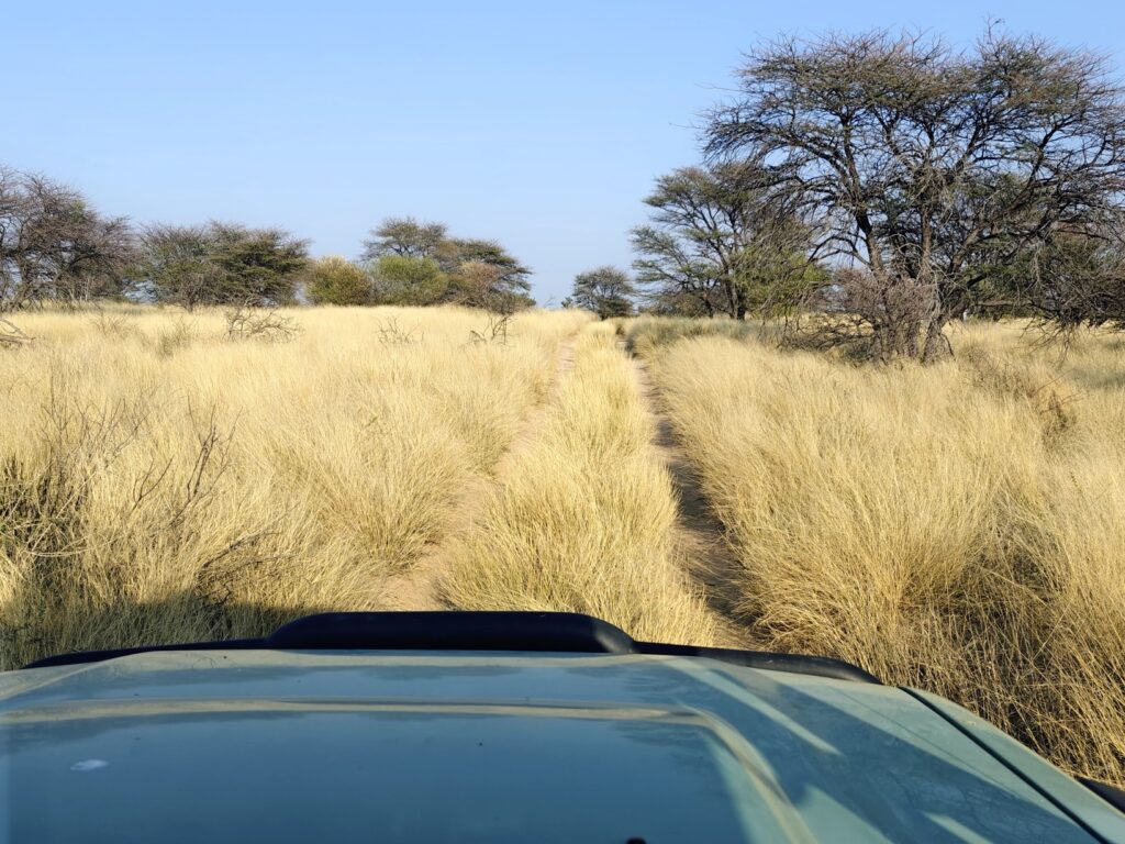
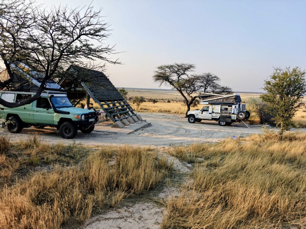
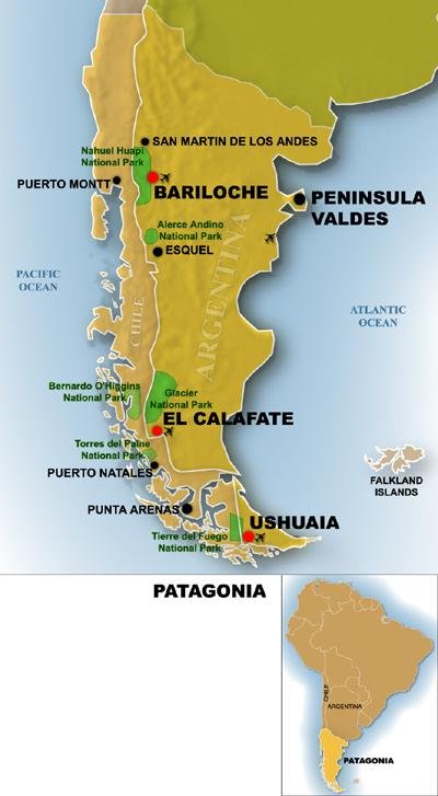
What, you say? Patagonia two years in a row? Last year (2025), Nancy and I (minus Phil and Mary who had to cancel at the very last minute – literally the night before – due to some unexpected GOS (Getting Old Sucks) issues), overlanded along the Carretera Austral route down the Chilean coast from Puerto Montt to Punta Arenas (see map below). It was an epic journey that I won’t recap here, other than to say that we were awestruck by the amazing rugged landscapes, the remoteness, the wonderful and abundant self-drive camping options, and the friendliness of the people, all of which inspired us to return to explore the Argentina side of Patagonia. And when Caitlin asked if we would take her to Patagonia, we didn’t hesitate to say YES. Not only that, but several of my blog-followers asked me to include this Patagonia trip on my blog, so, here it goes:
First, let’s clear up a little of the mystique of Patagonia. Patagonia is a familiar name for the vast geography at the southern tip of South America, but to my surprise when we first entertained the trip, I discovered that Patagonia isn’t a formal geographic entity by any political means. It is NOT a formal state or province and has no formal political boundary. Instead, it is somewhat vaguely defined as the southern portion of the continent incorporating parts of both Chile on the western side of the Andes Mountains and Argentina on the eastern side of the Andes extending from roughly the Colorado and Barrancas Rivers on the north in Argentina southward to the tip of the continent. Surprisingly, on the Chilean side there does not appear to be consensus on where exactly the northern boundary lies.
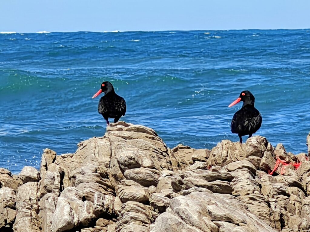
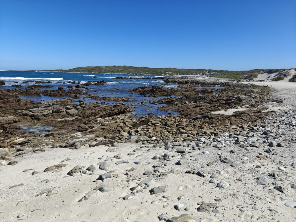
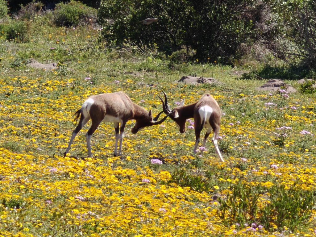
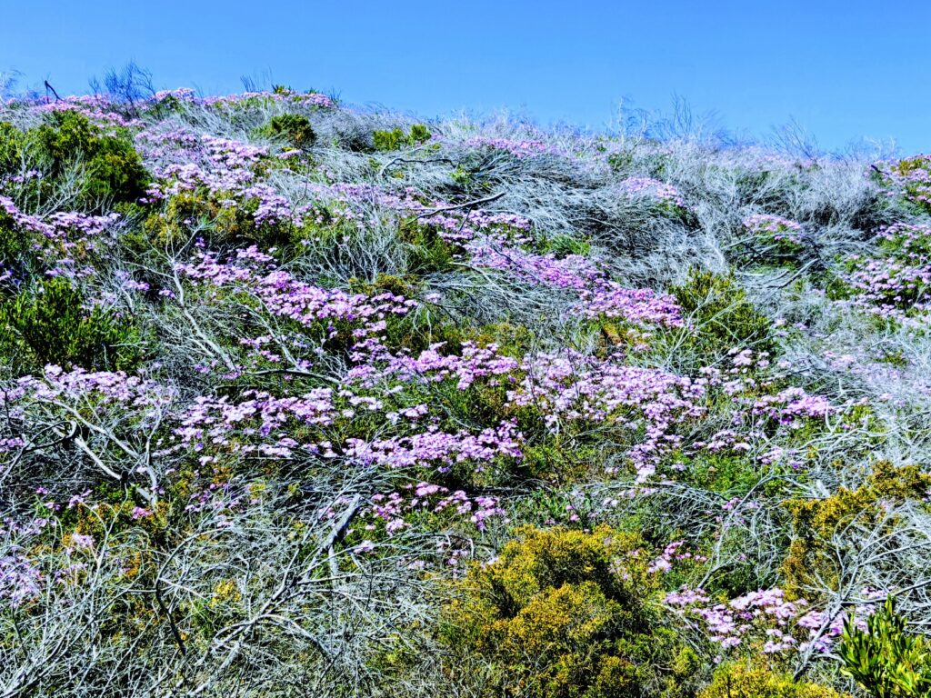
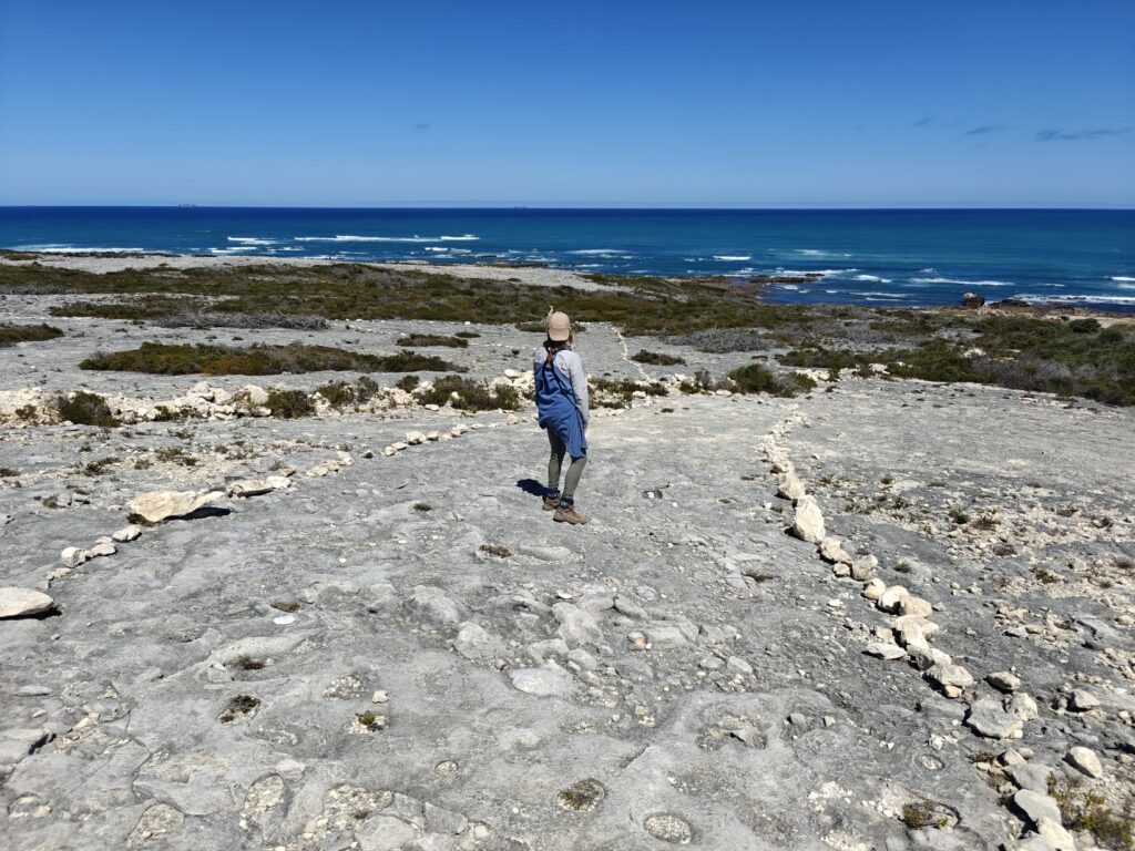
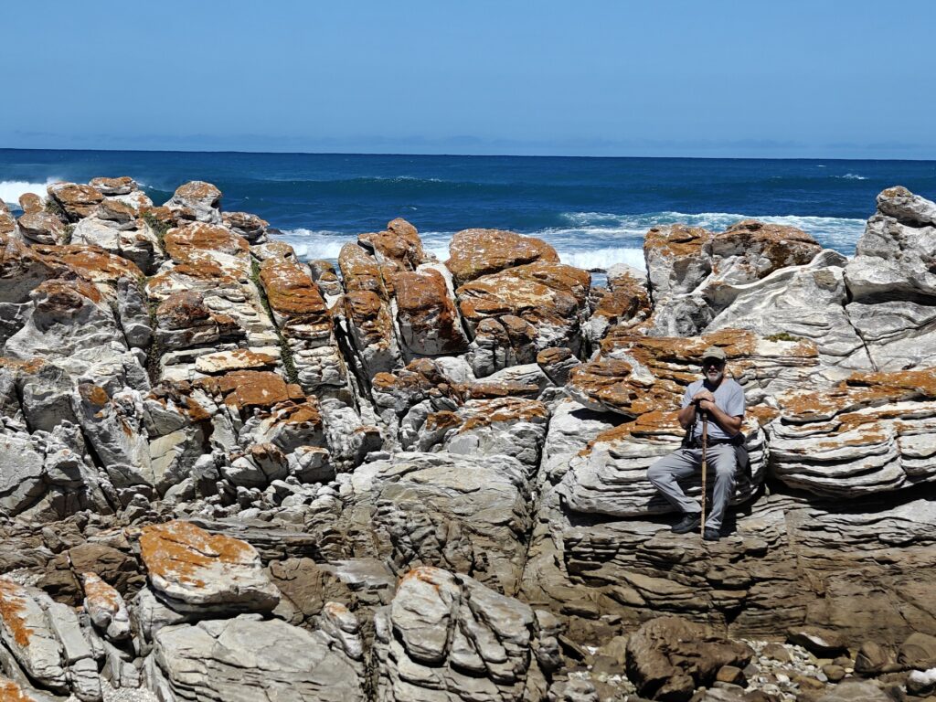
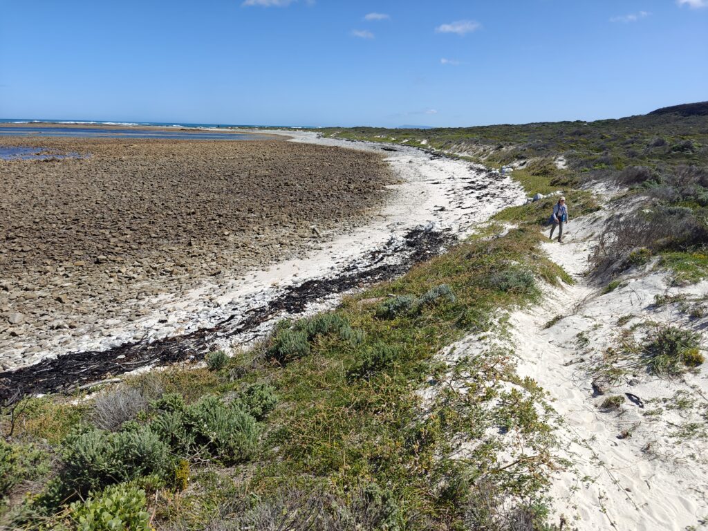
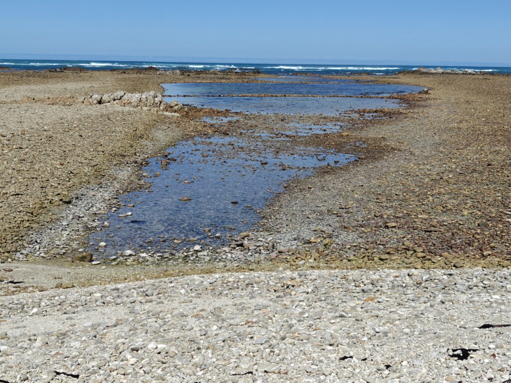
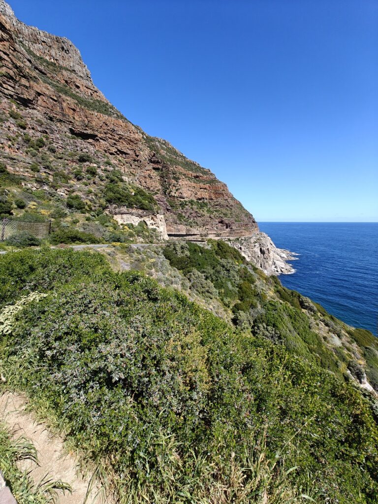
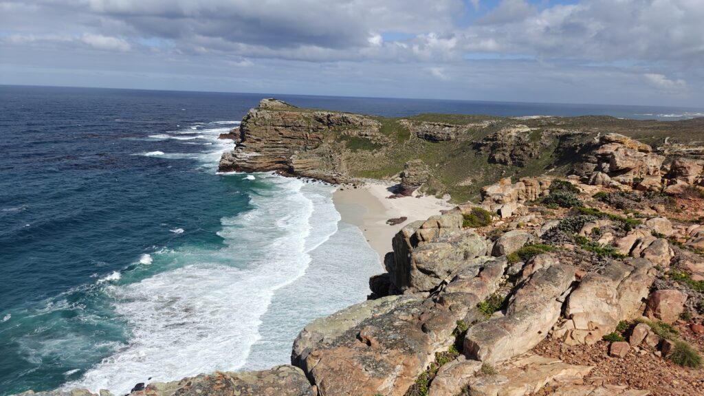
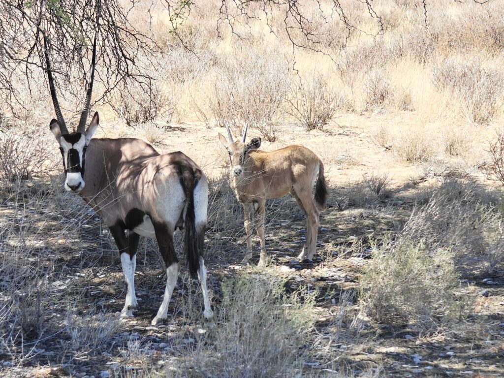
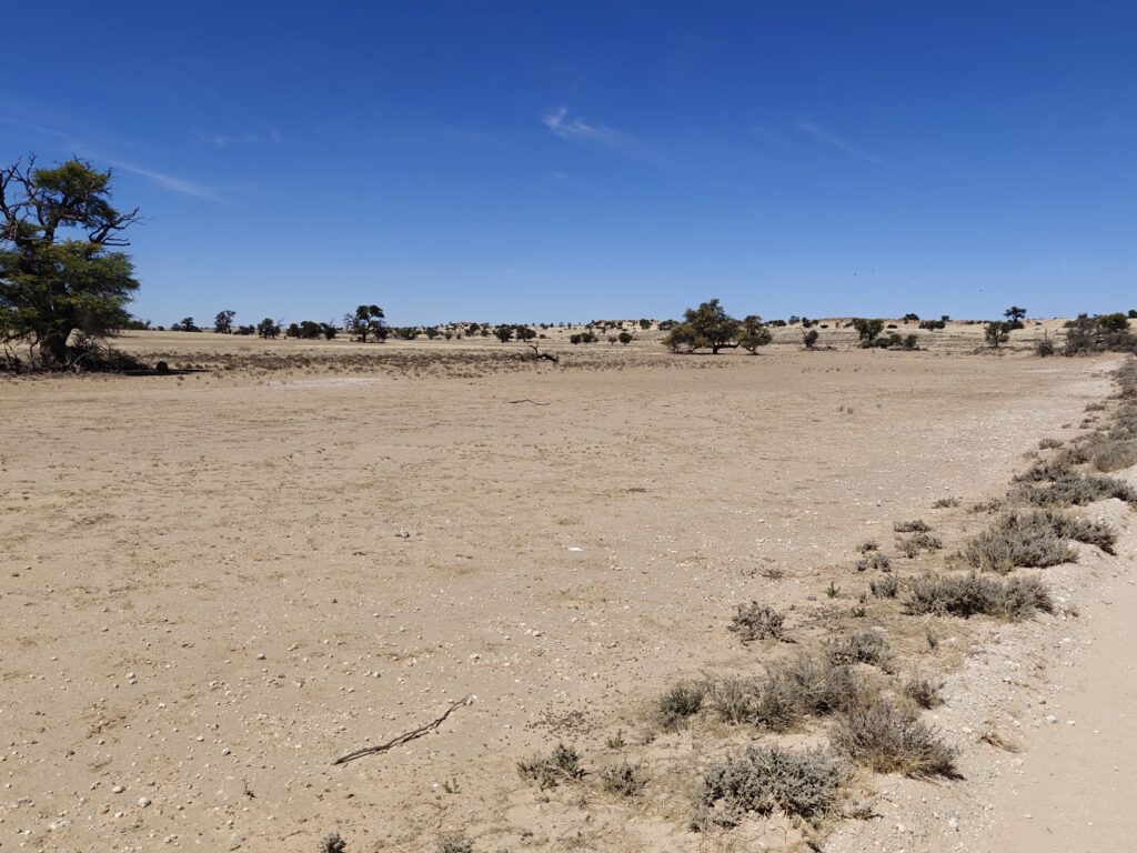
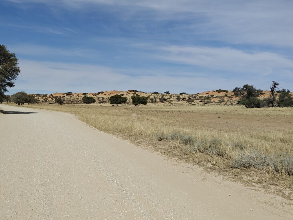
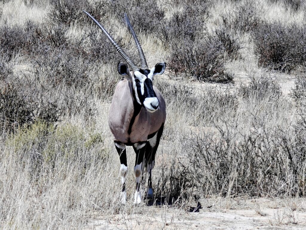
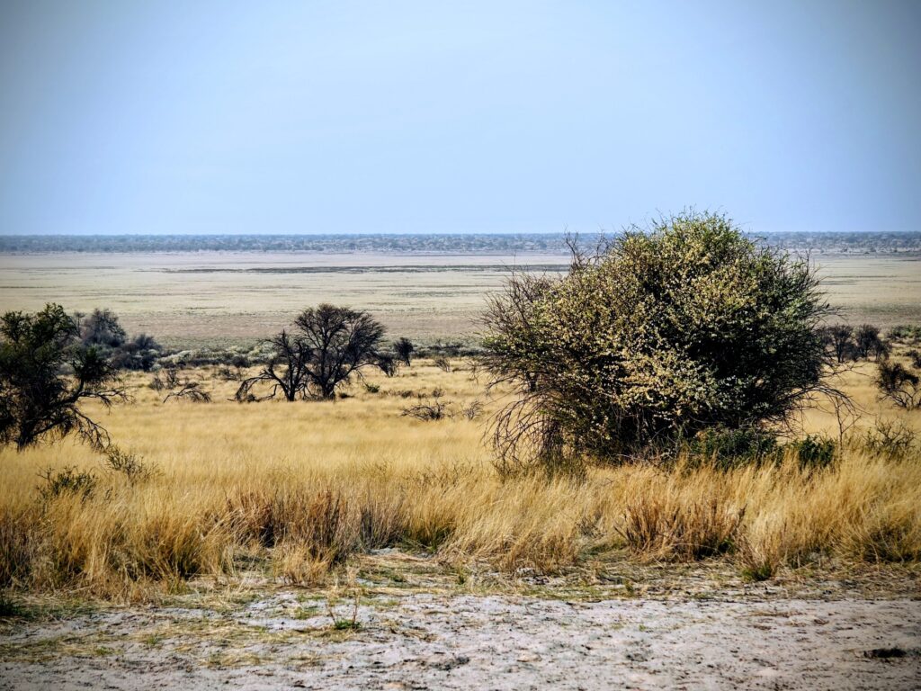
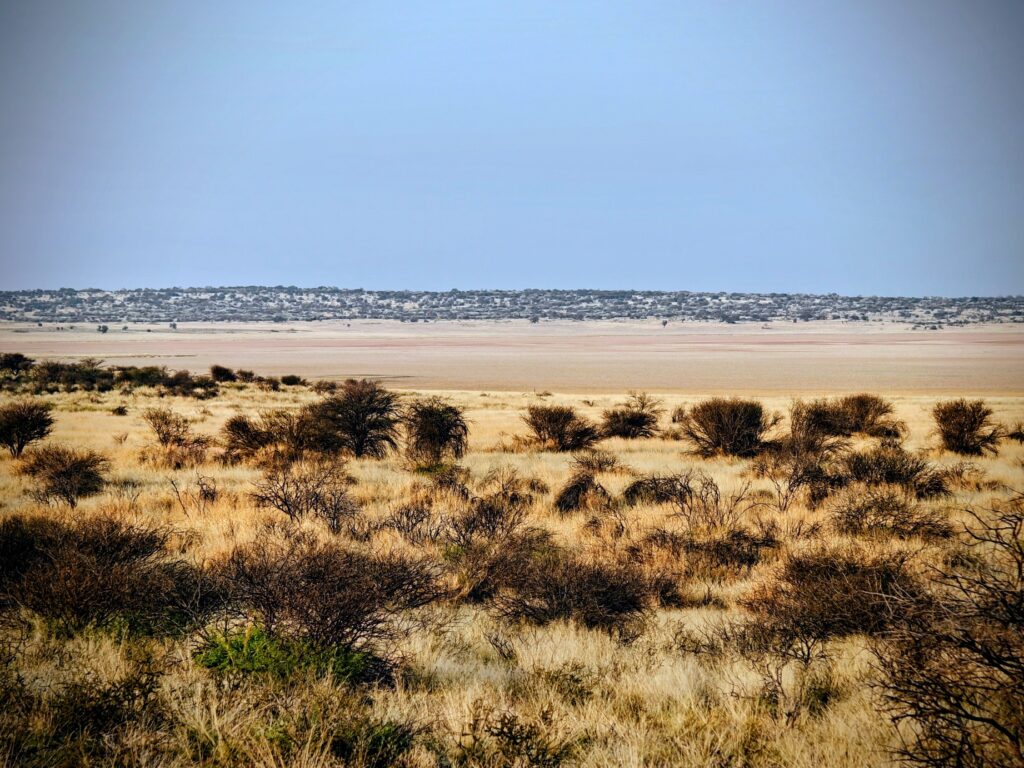
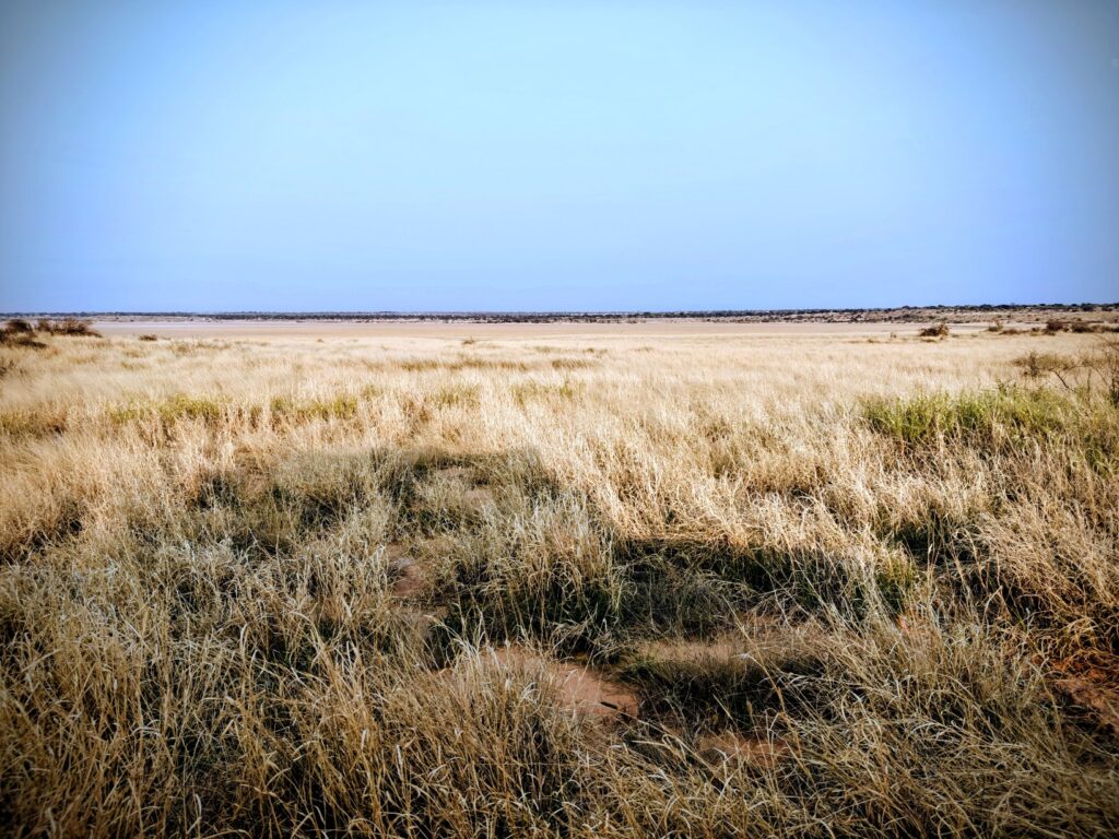
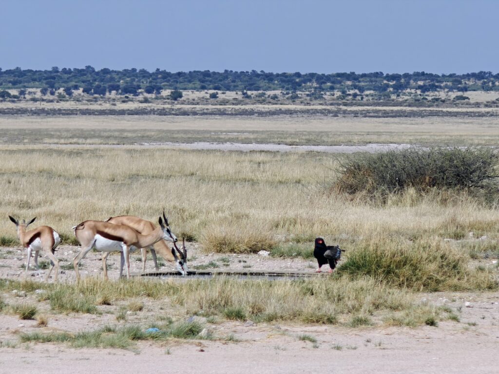
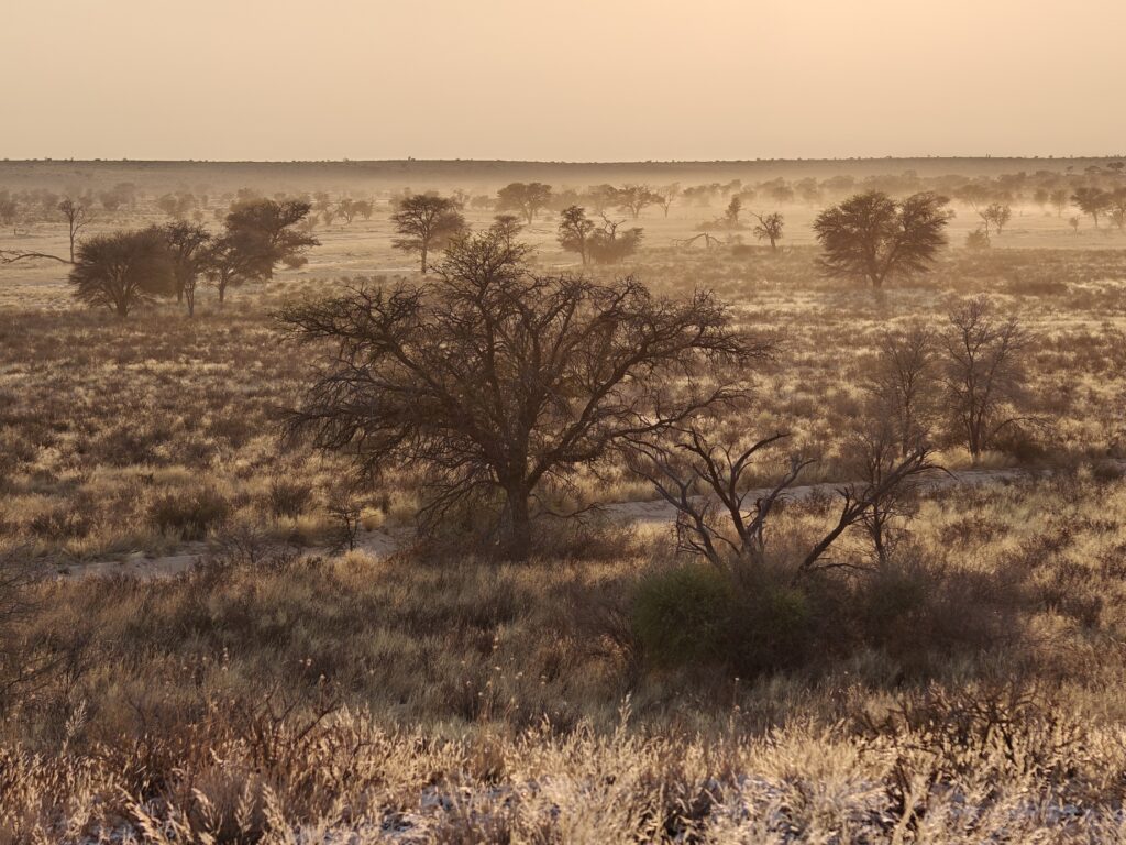
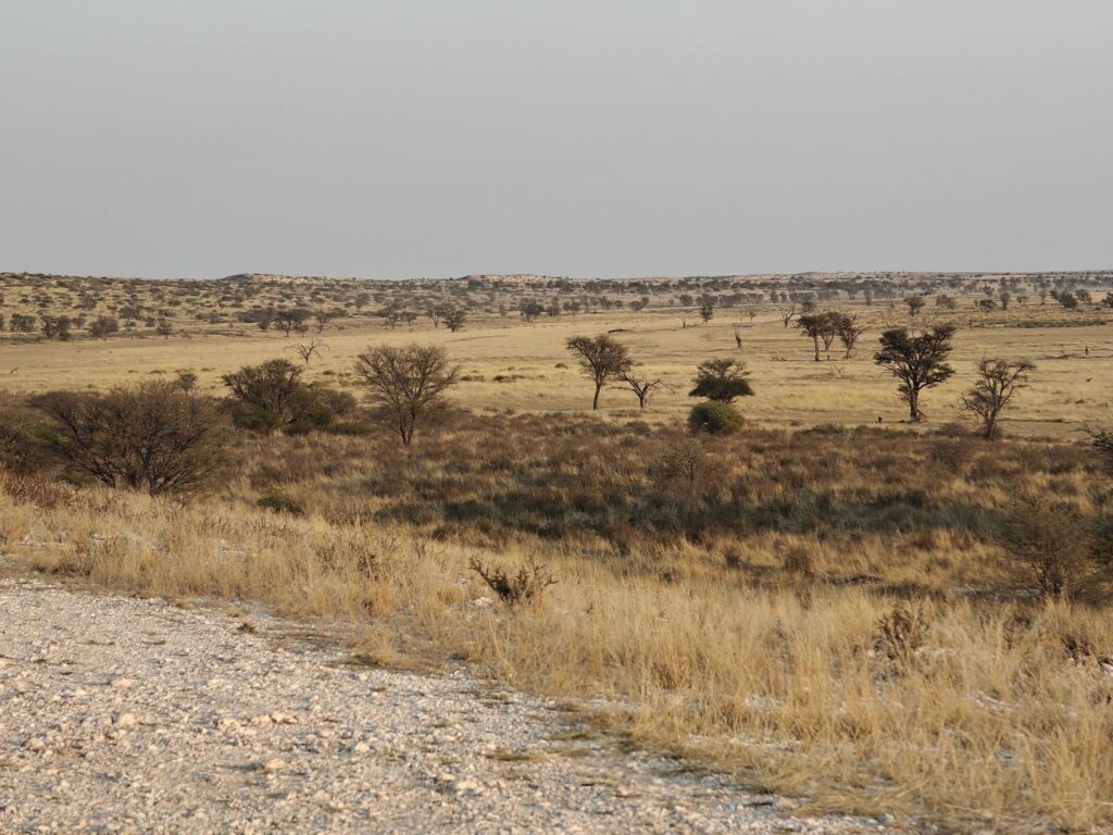
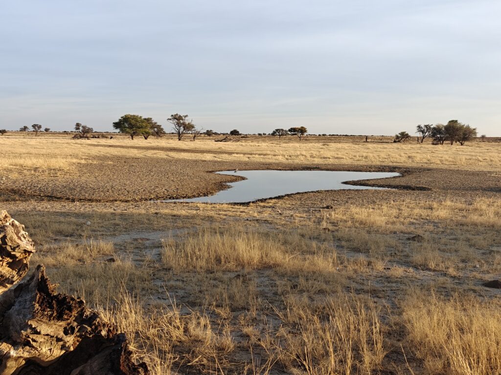
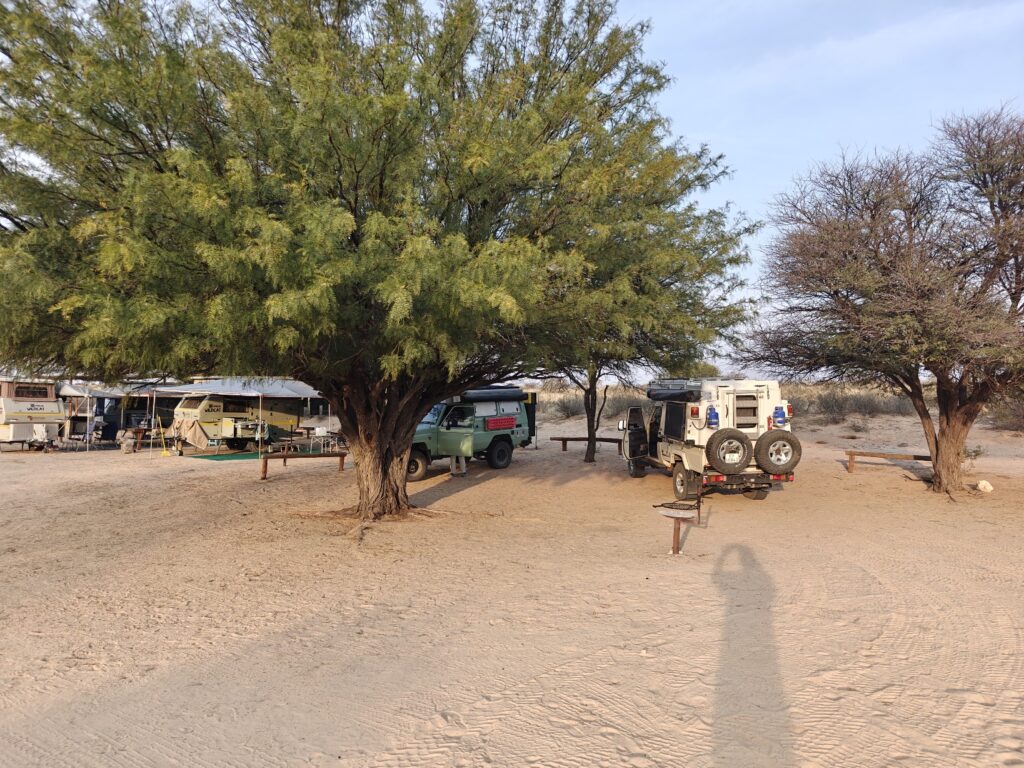
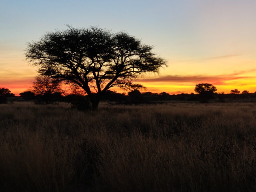
Patagonia is an extraordinarily diverse landscape, including cold, wet, dense forests on the western side of the Andes and dry prairie grasslands and deserts in the rain-shadow of the Andes on the eastern flanks of the mountains and plains extending eastward to the Atlantic Ocean. The Patagonian Andes rise upwards to 5,000-10,000 feet in most places, with the highest peaks reaching over 13,000 feet, with vast ice fields and mountain glaciers capping the highest elevations and in places extending all the way down glacially-carved valleys to the ocean. The west coast is dominated by numerous fjords and channels creating a labyrinth of isolated islands. Due to the harsh environment and complex geography, the region is relatively unpopulated (<2 million), which makes for great overlanding for us!
The name “Patagonia” is believed to have originated from Ferdinand Magellan’s 1520 passage through the region, where he encountered the native Tehuelche people, whom he called “Patagones,” possibly referring to their large feet or large shoes. The region was often subsequently referred to as the “land of giants” owing to the relatively large natives, who were much larger than the Europeans at the time.
Patagonia has been inhabited by indigenous peoples for more than 10,000 years, and possibly as much as 18,500 years. The region was colonized by Spain beginning in the 1500’s after Magellan’s exploration, but only sporadically and intermittently until the early 1800s when the region began to separate from Spain, but it wasn’t until the late 1800’s through a series of Spanish-American wars, and ultimately the treaty of 1881, that Chile and Argentina separately achieved full independence from Spain.
The contemporary economy of Argentine Patagonia is largely based on sheep farming, the extraction of oil and natural gas, and tourism, while in Chilean Patagonia the economy is dominated by fishing, salmon and muscle aquaculture, forestry, and tourism.
OK, that’s my brief overview of Patagonia, which doesn’t do it justice, but it will have to suffice lest this post get even longer. Hopefully, the pictures and descriptions to follow in subsequent posts will put a bit more flesh on the bones.
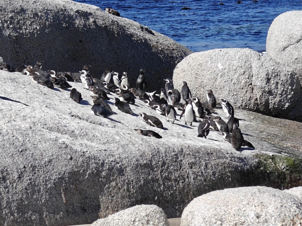
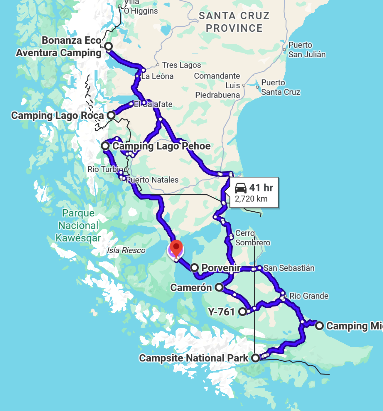
Our trip this year begins February 17 in Punta Arenas, Chile, situated on the Strait of Magellan and close to the southern tip of the mainland of South America. From there, we will take a ferry across the Strait to the archipelago of Tierra del Fuego for a week of exploration, beginning with a visit to a King Penguin colony and ending with a couple of days of hiking in Tierra del Fuego National Park outside of the bustling tourist town of Ushuaia, Argentina. Then we will make our way slowly north back to the mainland and on to Glacier National Park and several days of hiking – weather permitting – outside of the small mountain adventure towns of El Chalten and El Calafate. Lastly, we will make our way back south to Torres del Paine National Park in Chile before returning to Punta Arenas. Here’s a look at our intended route, starting in Punta Arenas (the red waypoint on the map) and heading south on a counter-clockwise loop with a few side excursions, and eventually landing back in Punta Arenas:
That’s it for my introduction to Patagonia and overview of our overland trip. See you on the trail!