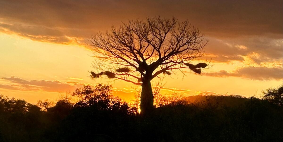
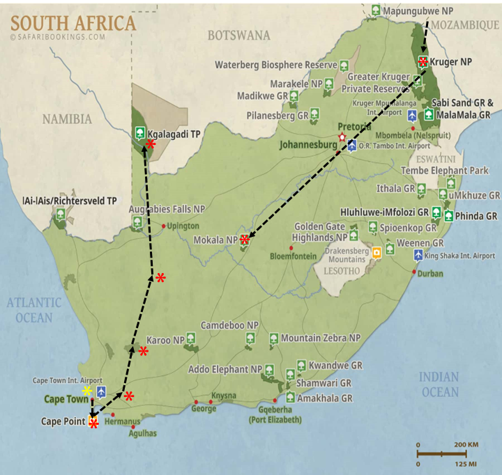
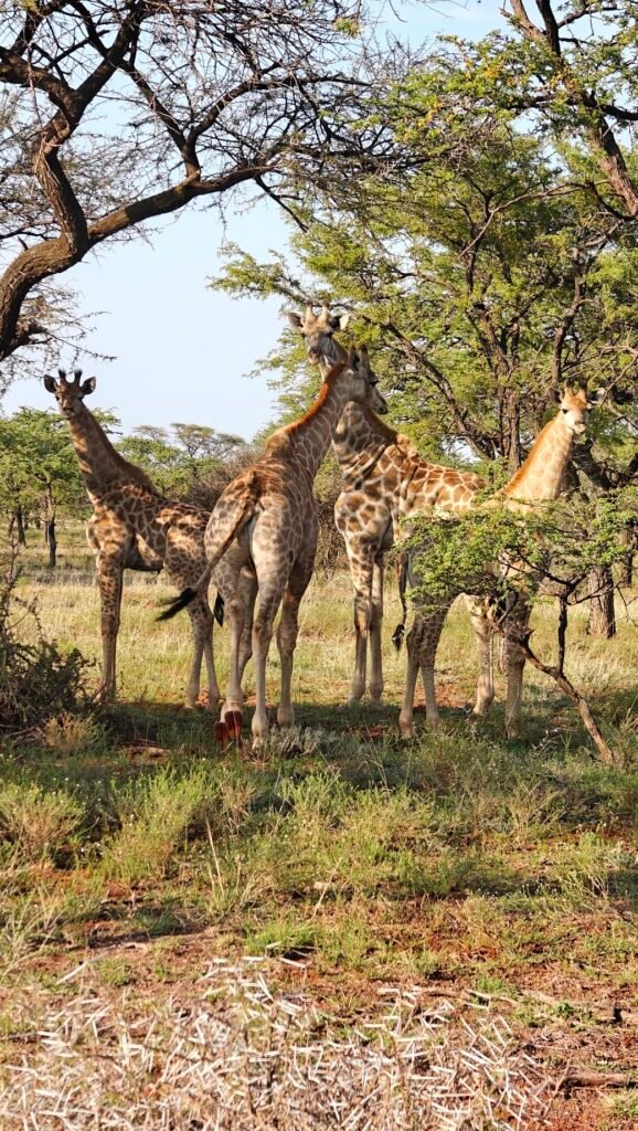
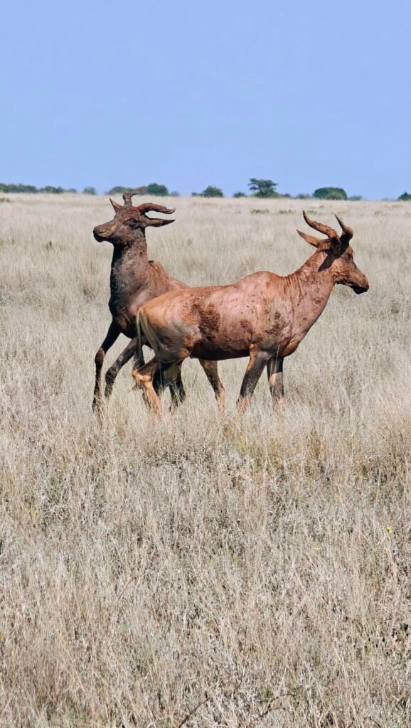
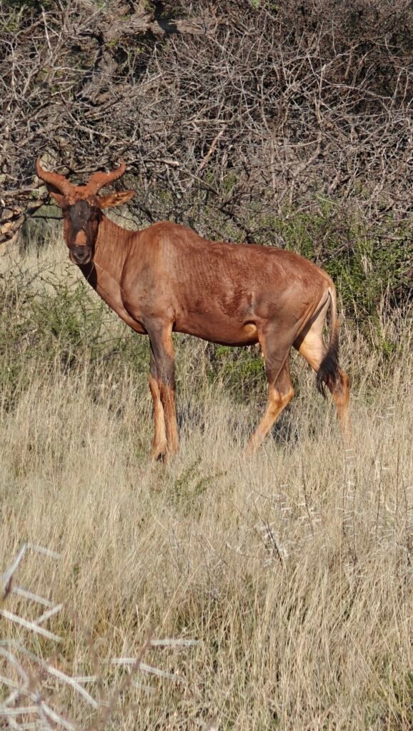
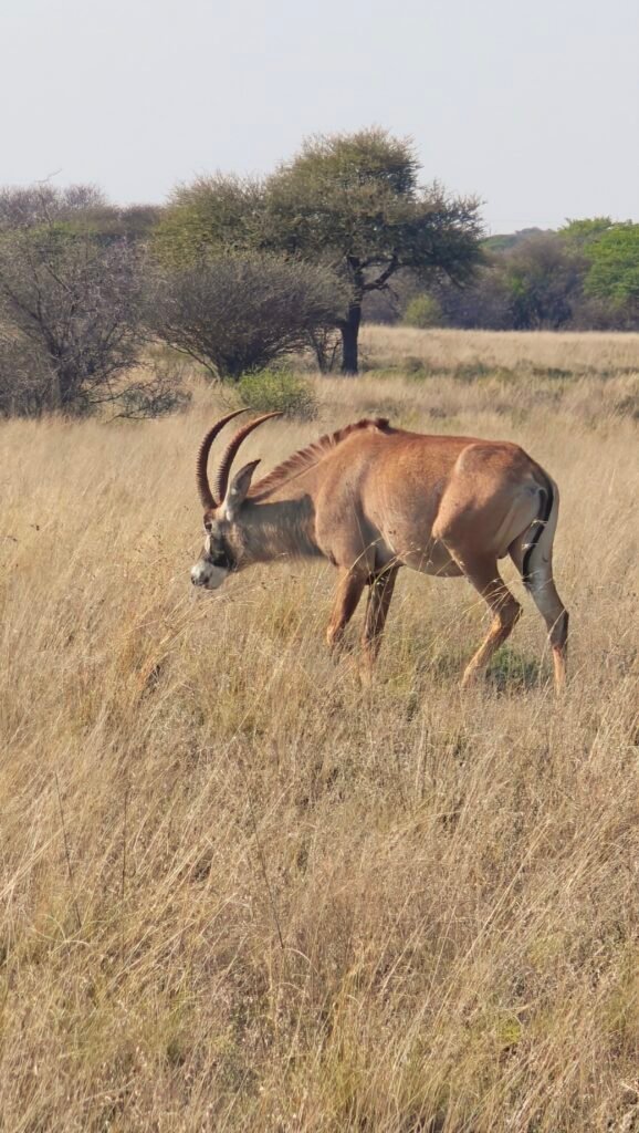
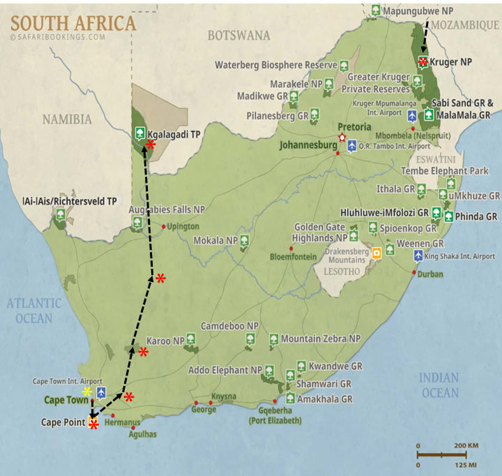
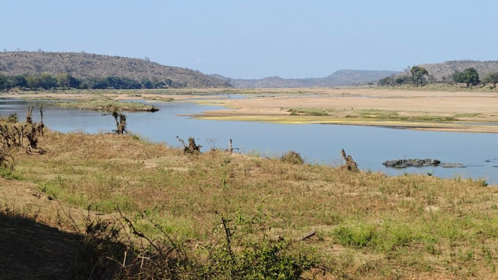
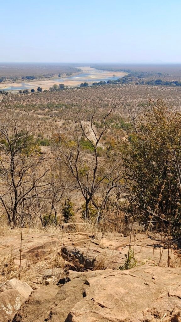
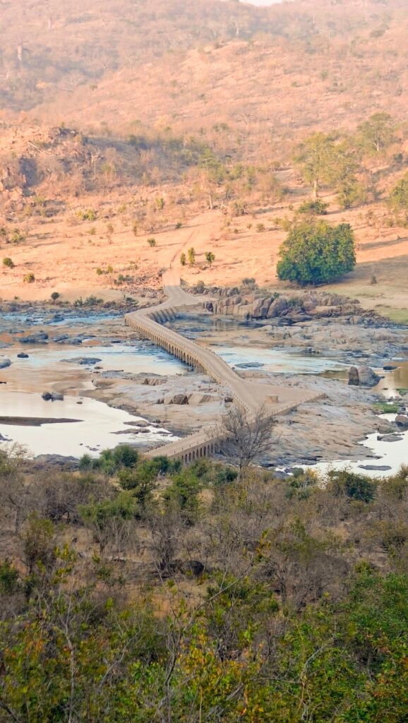
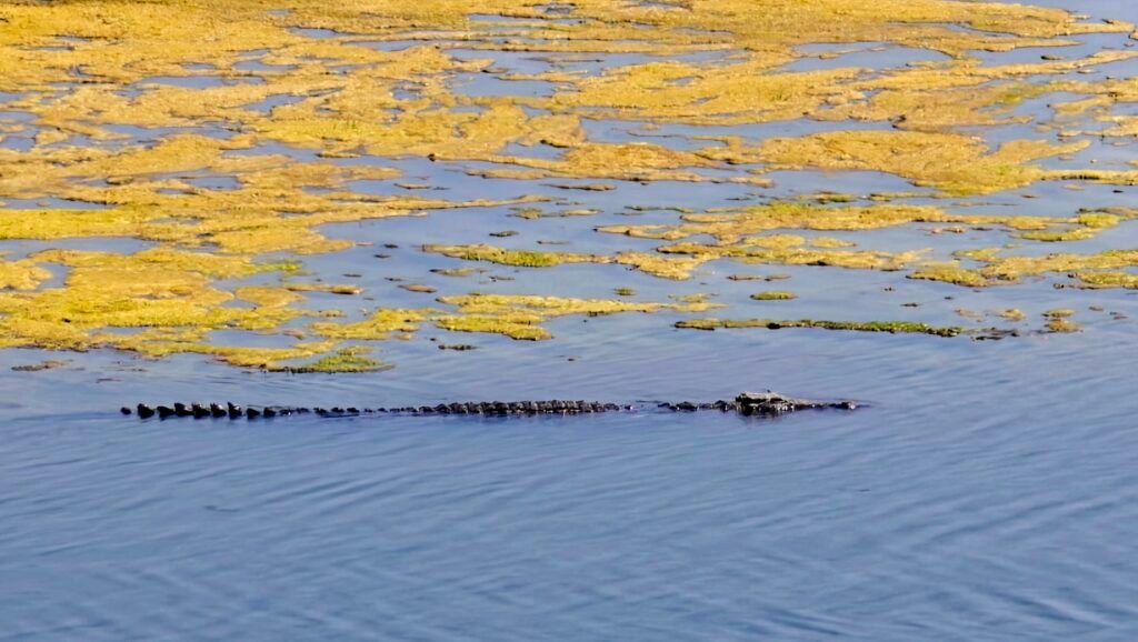
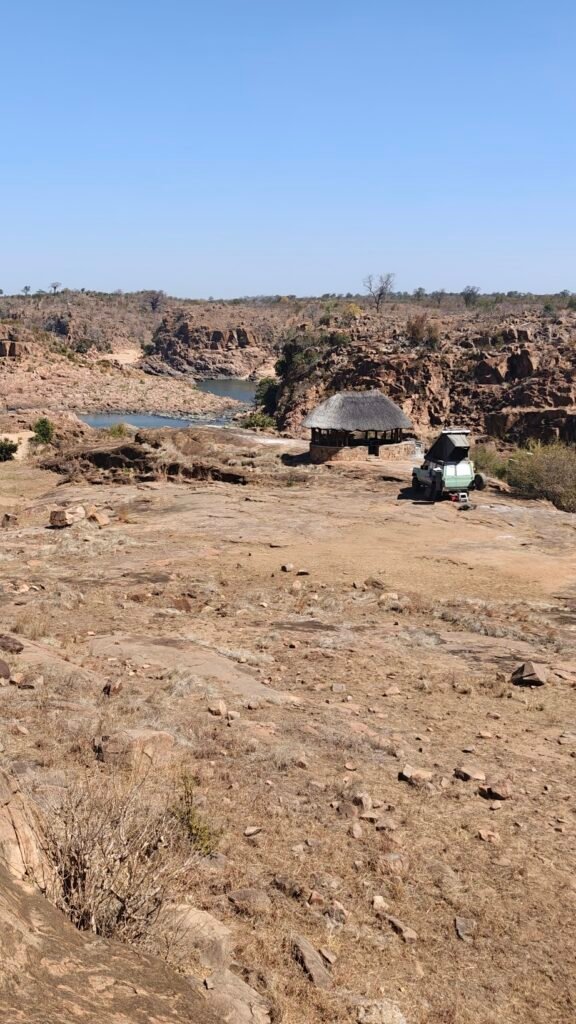
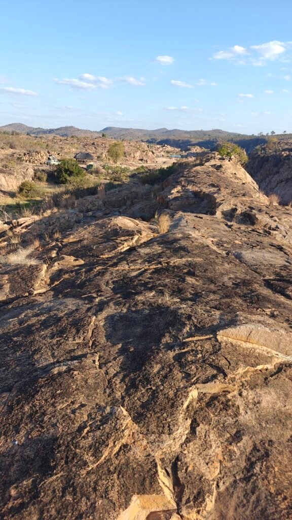
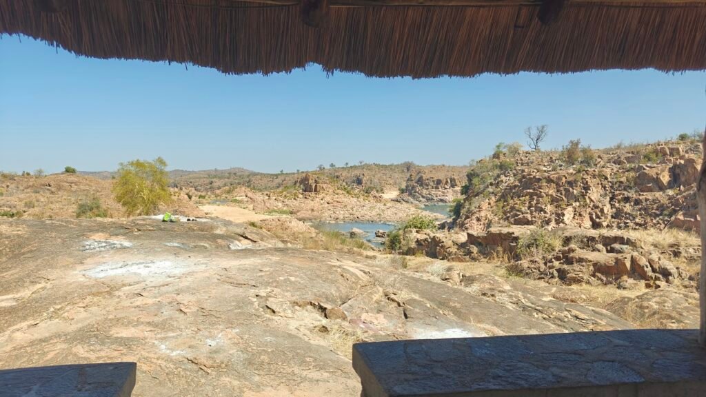
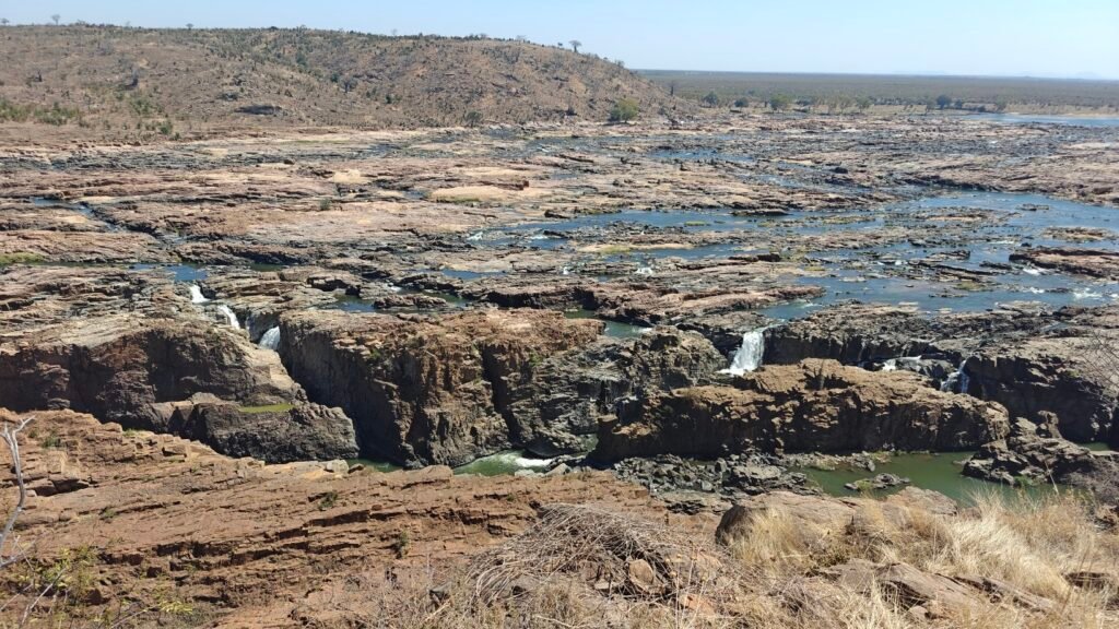
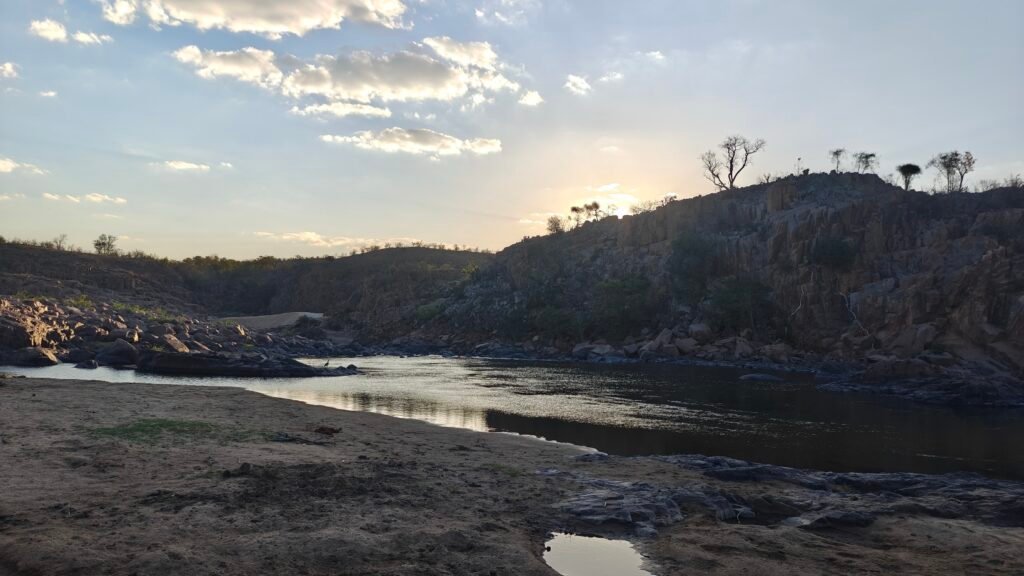
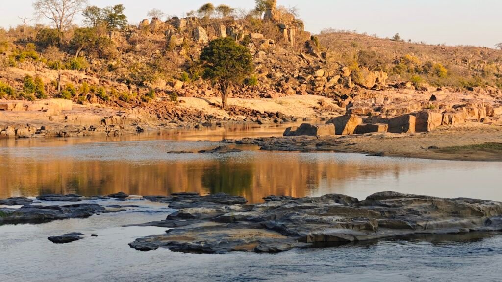
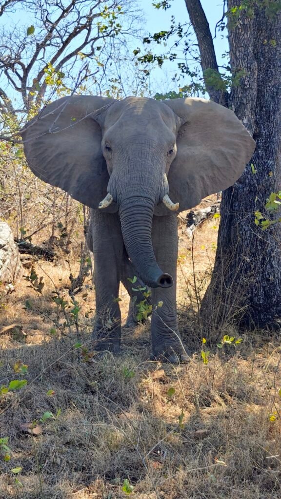
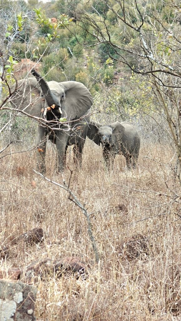
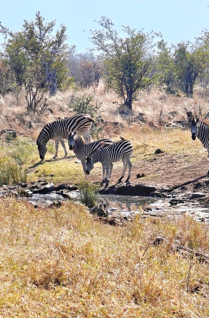
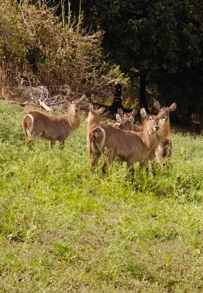
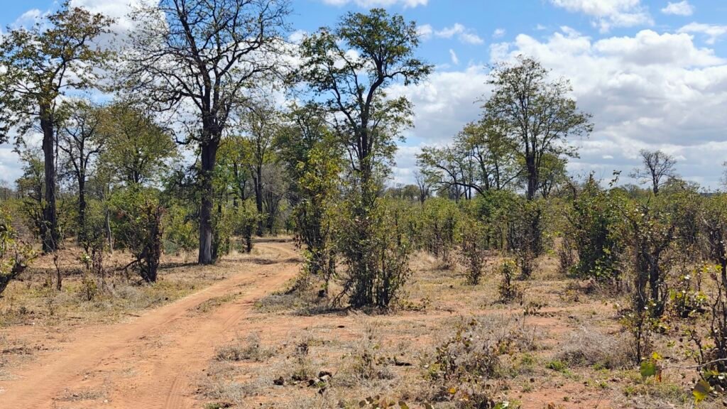
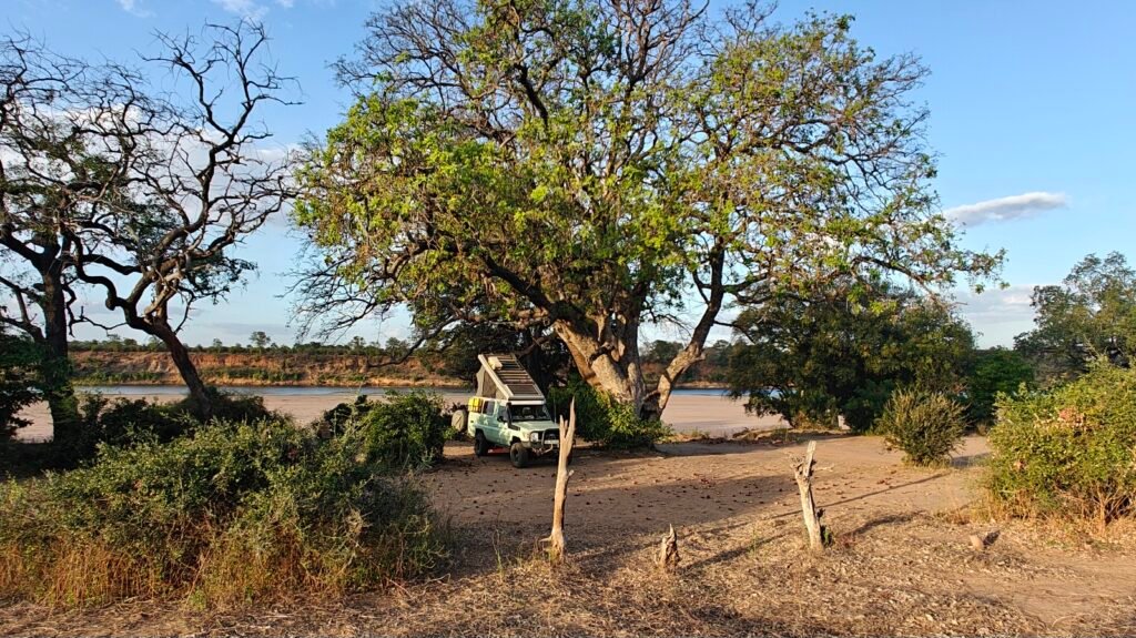
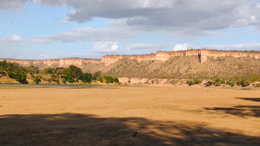
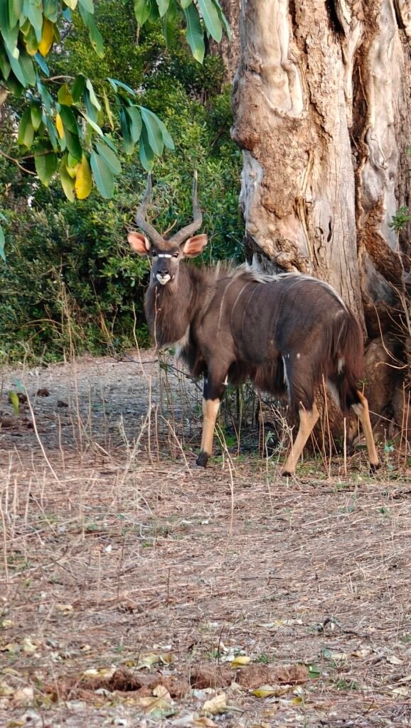
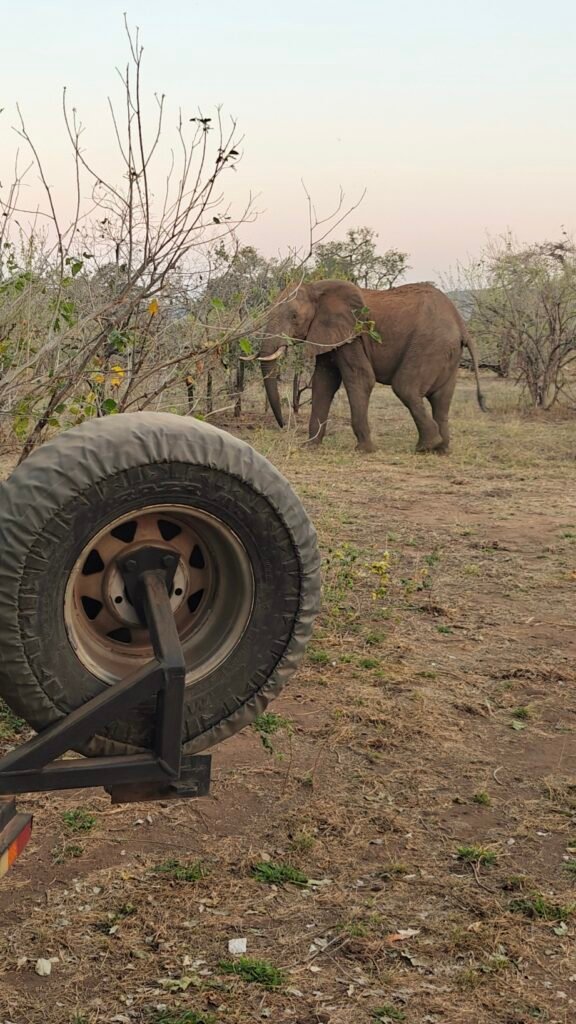
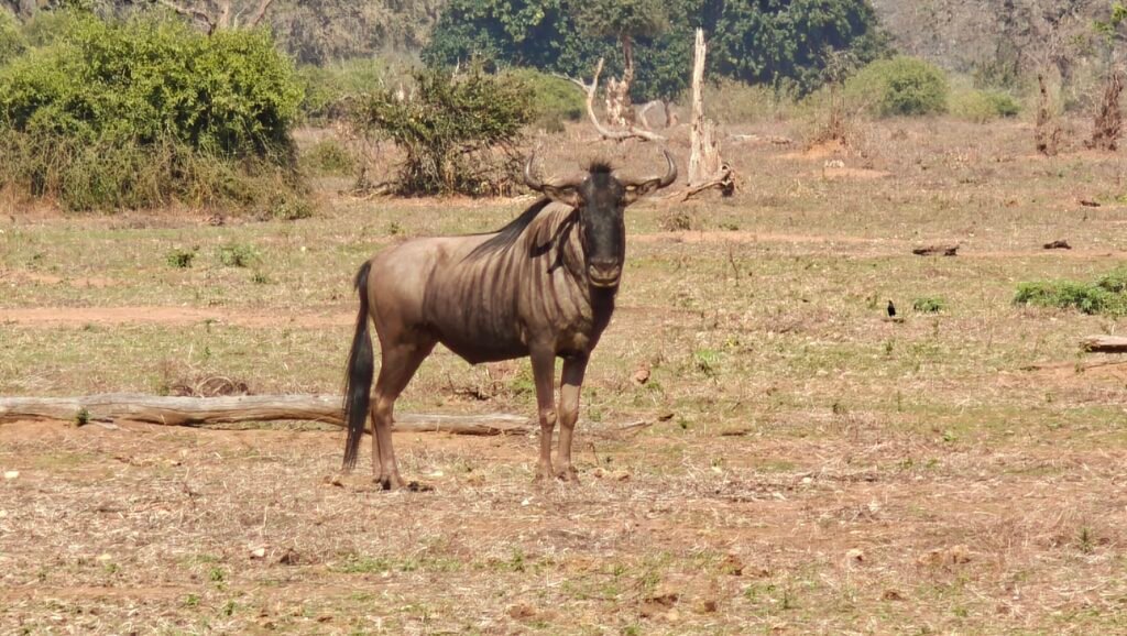
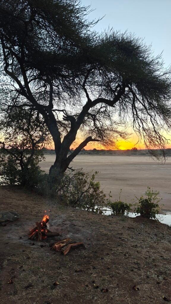
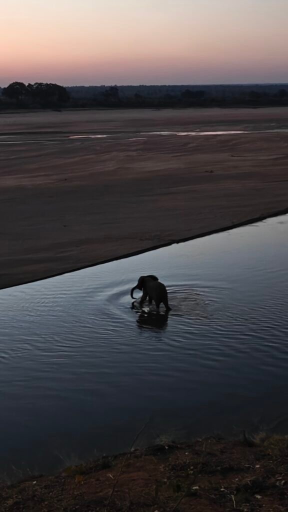
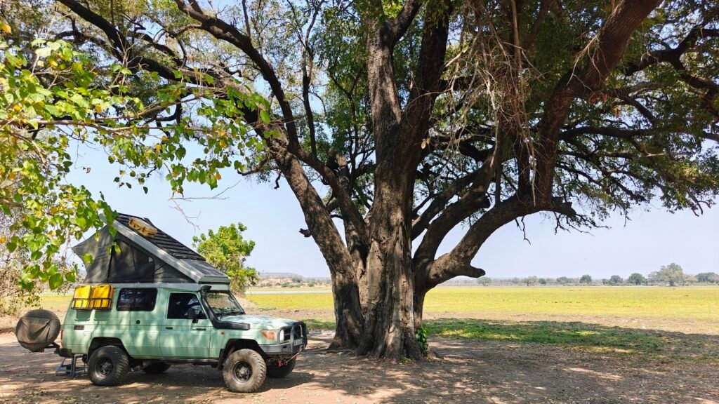
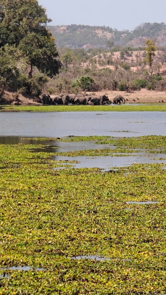
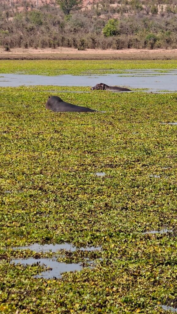
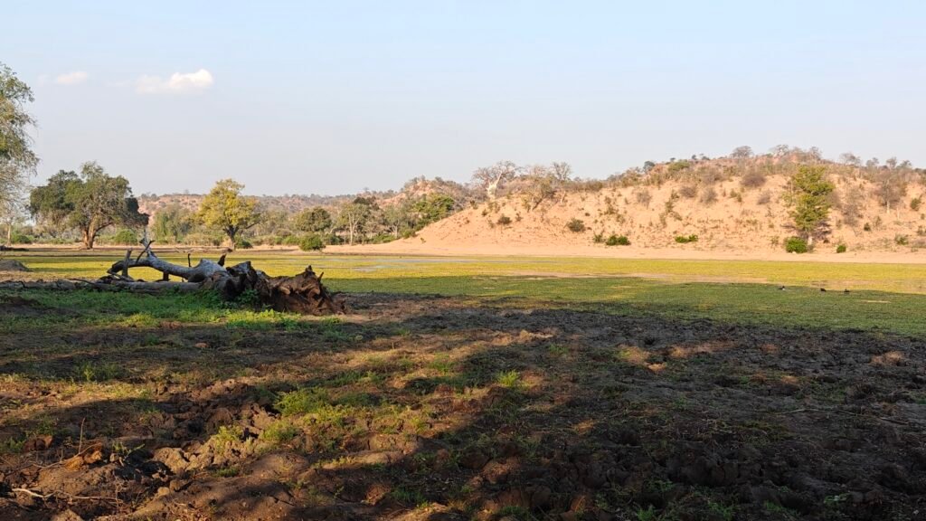
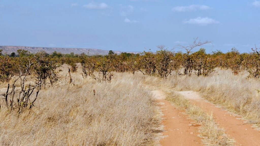
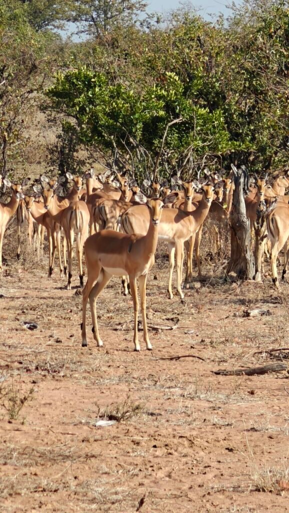
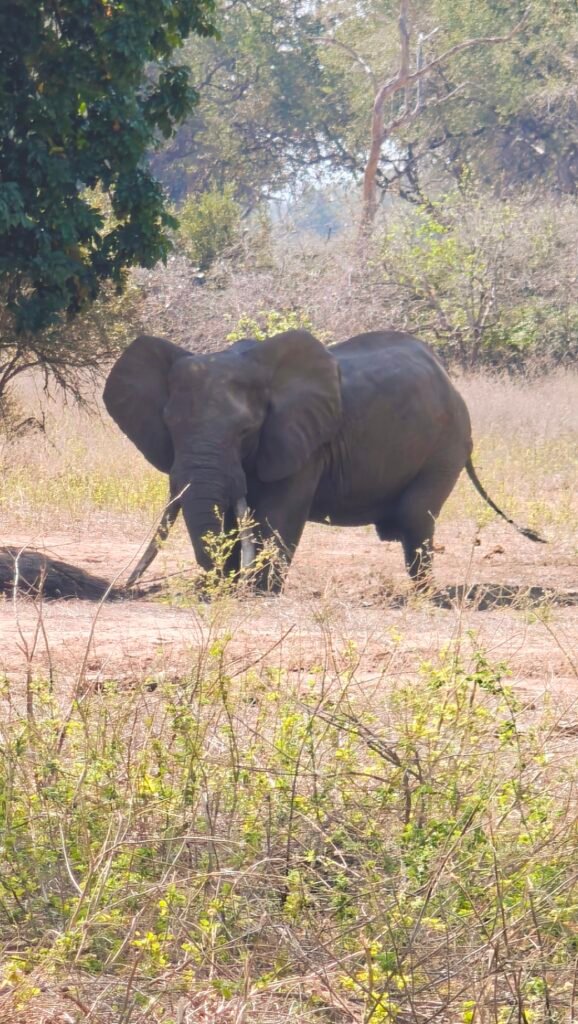
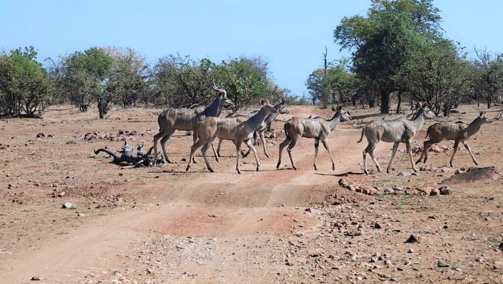
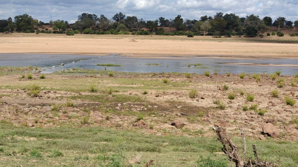
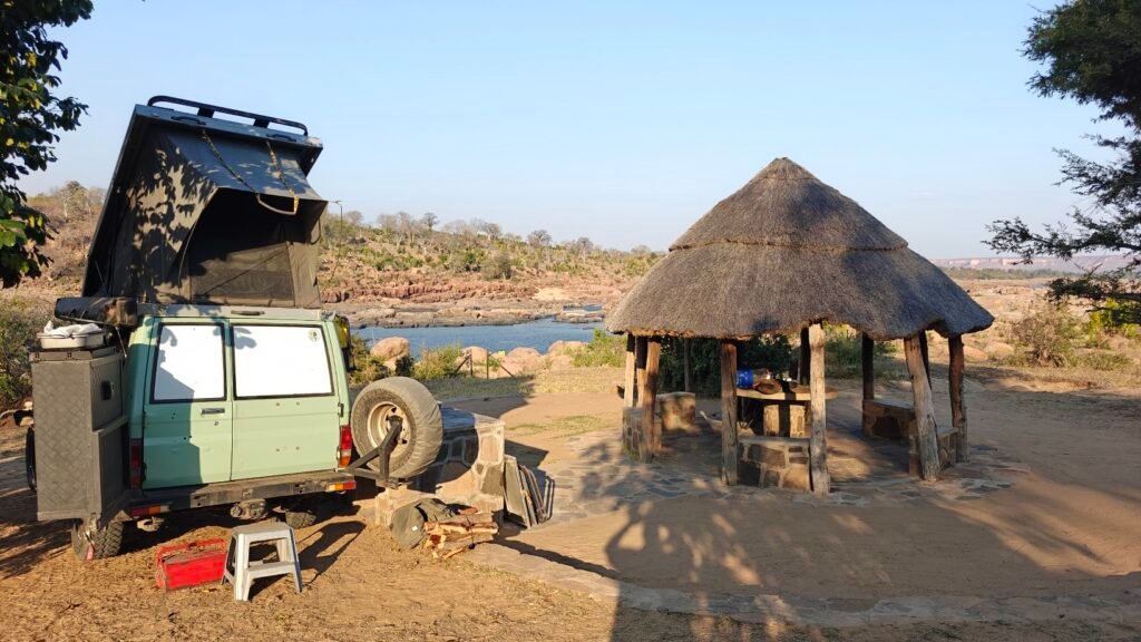
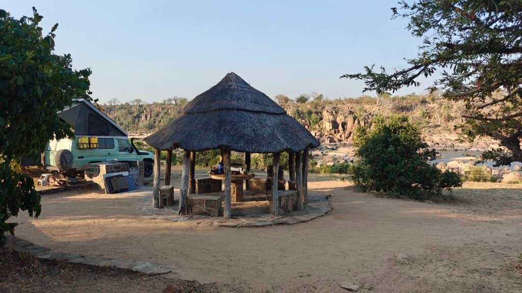
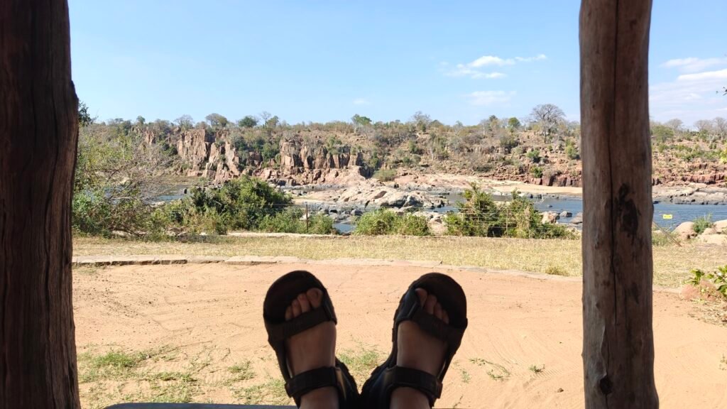
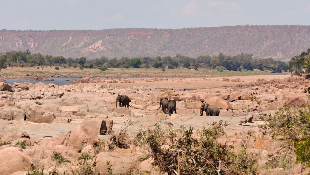
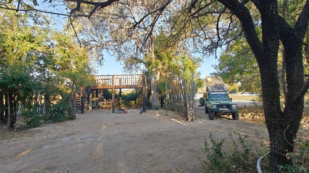
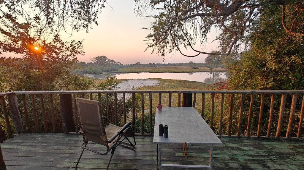
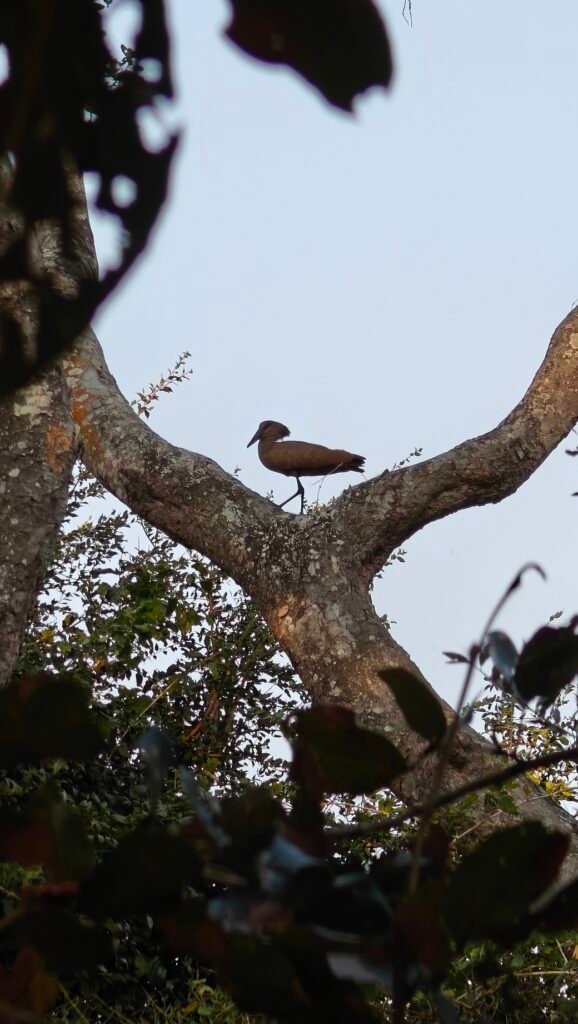
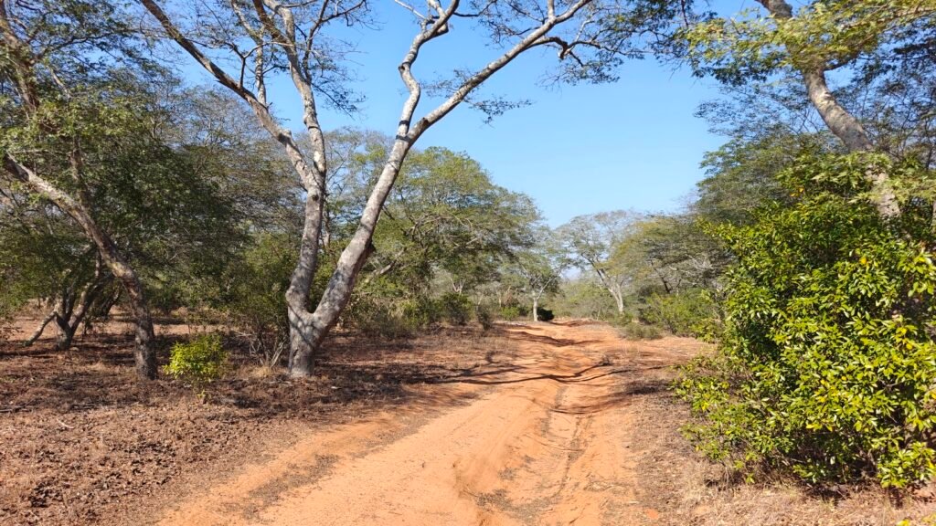
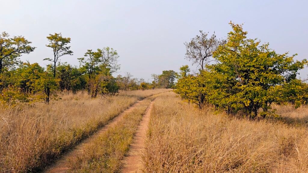
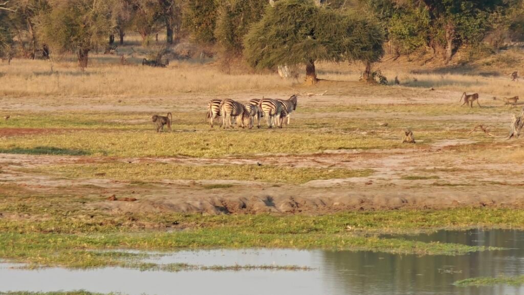
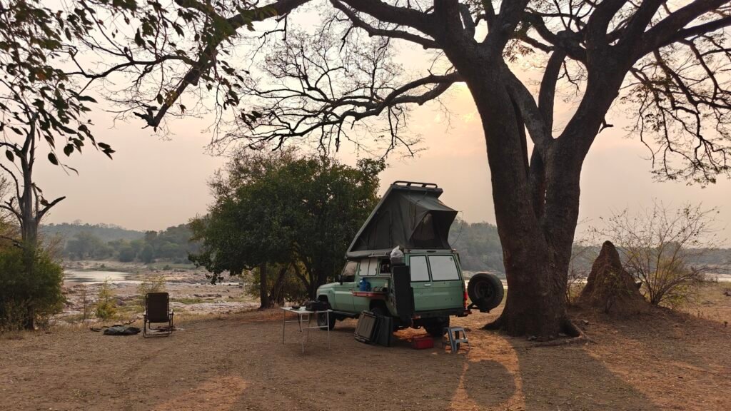
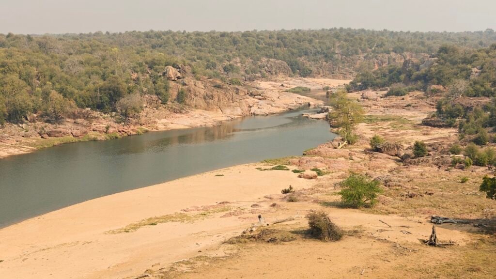
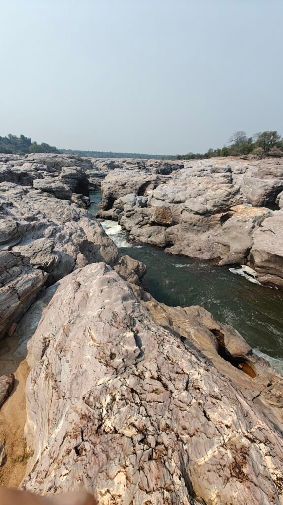
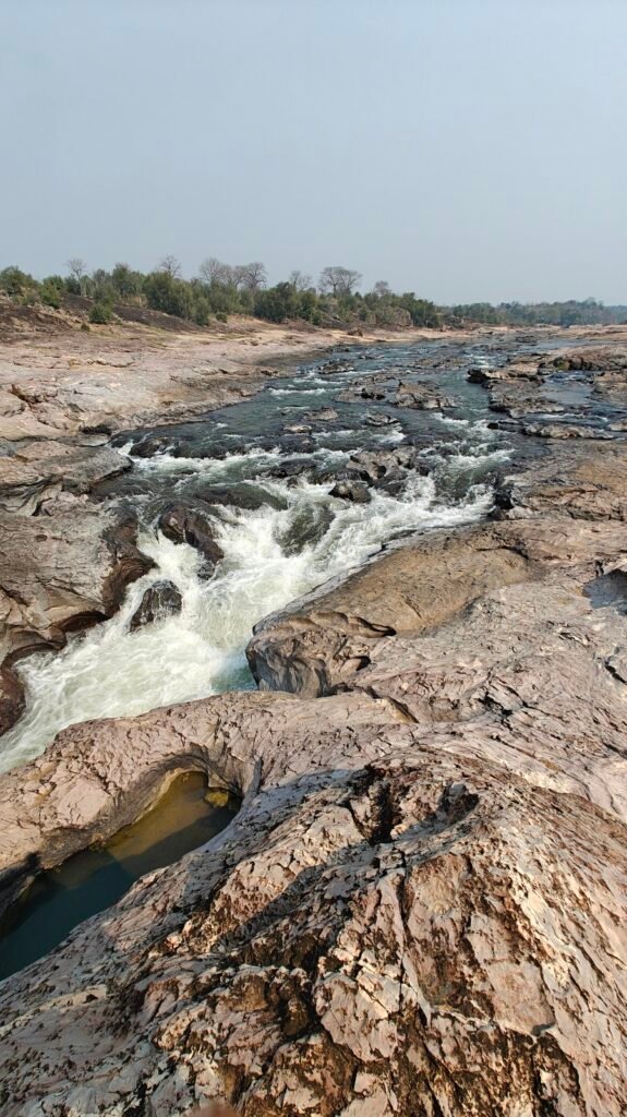
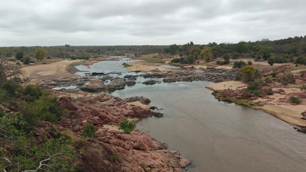
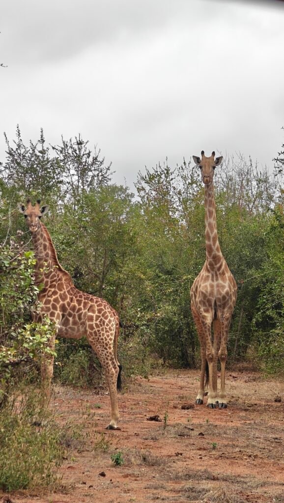
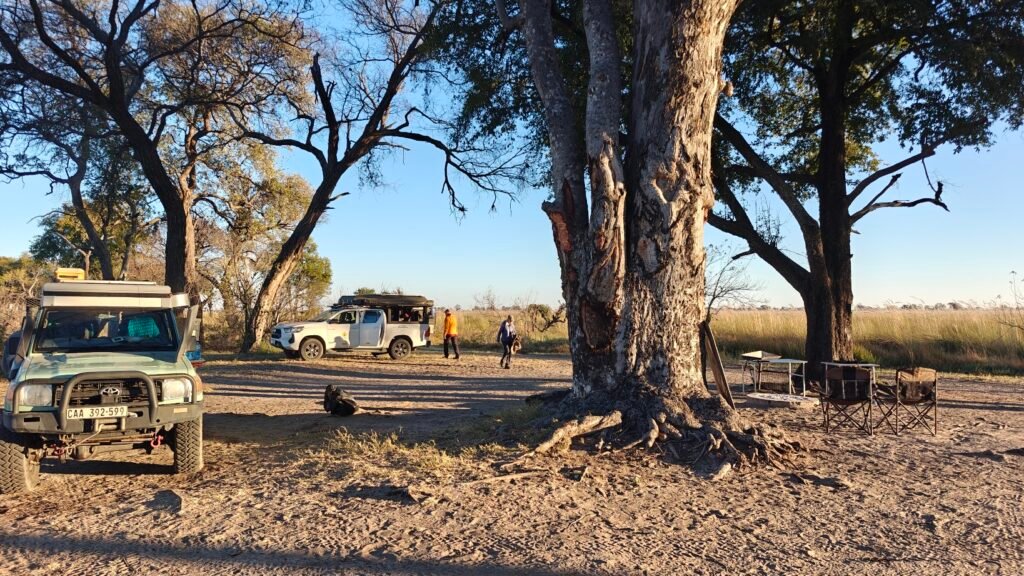
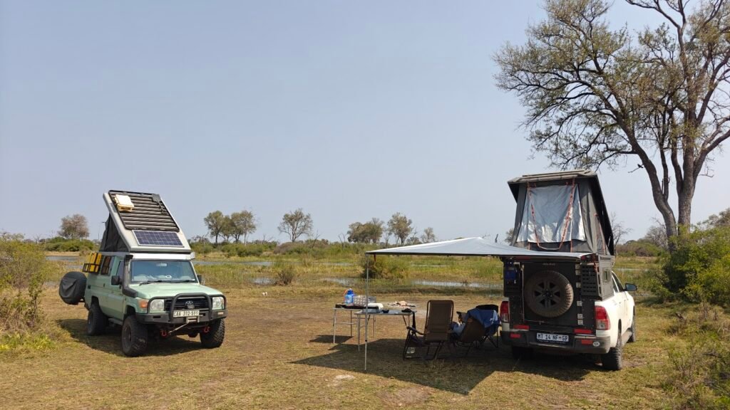
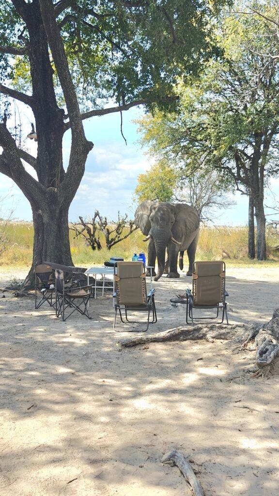
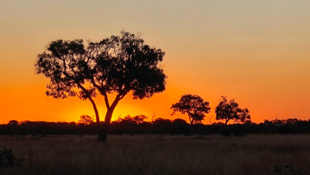
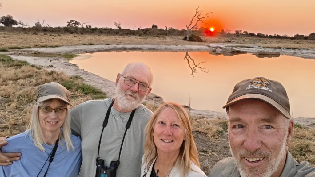
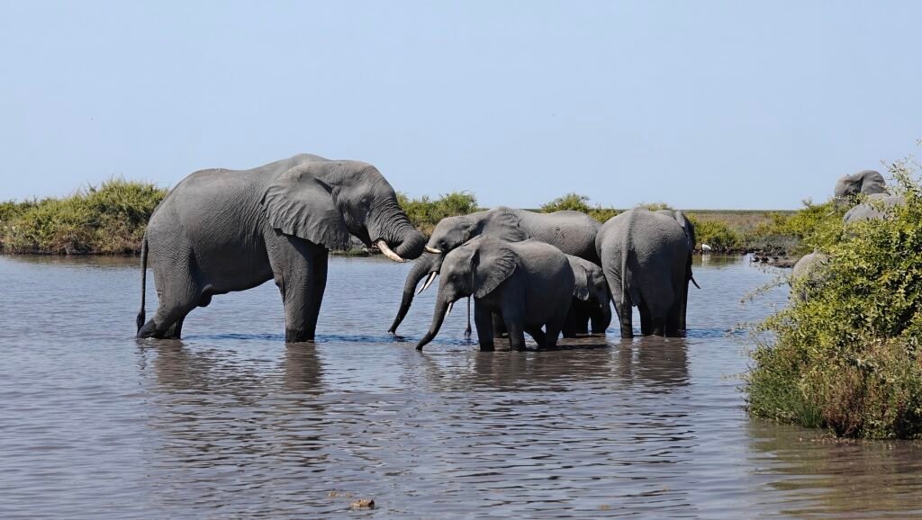
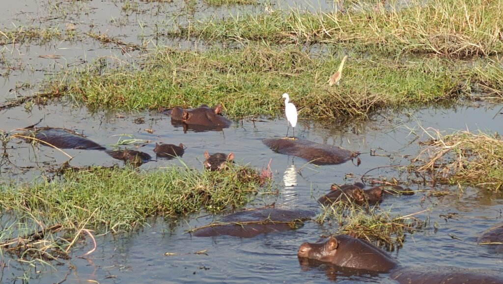
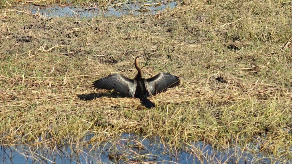
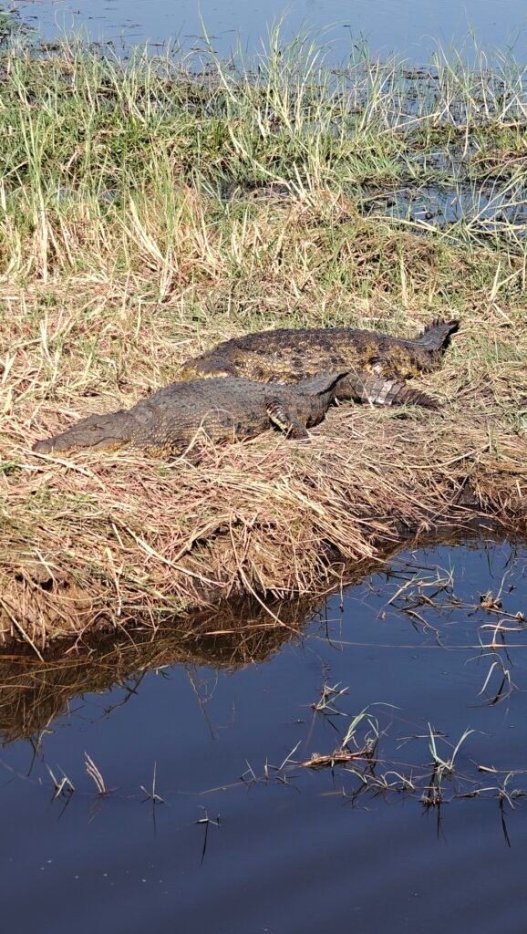
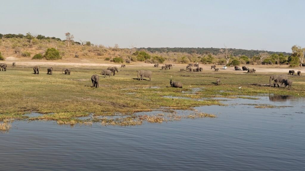
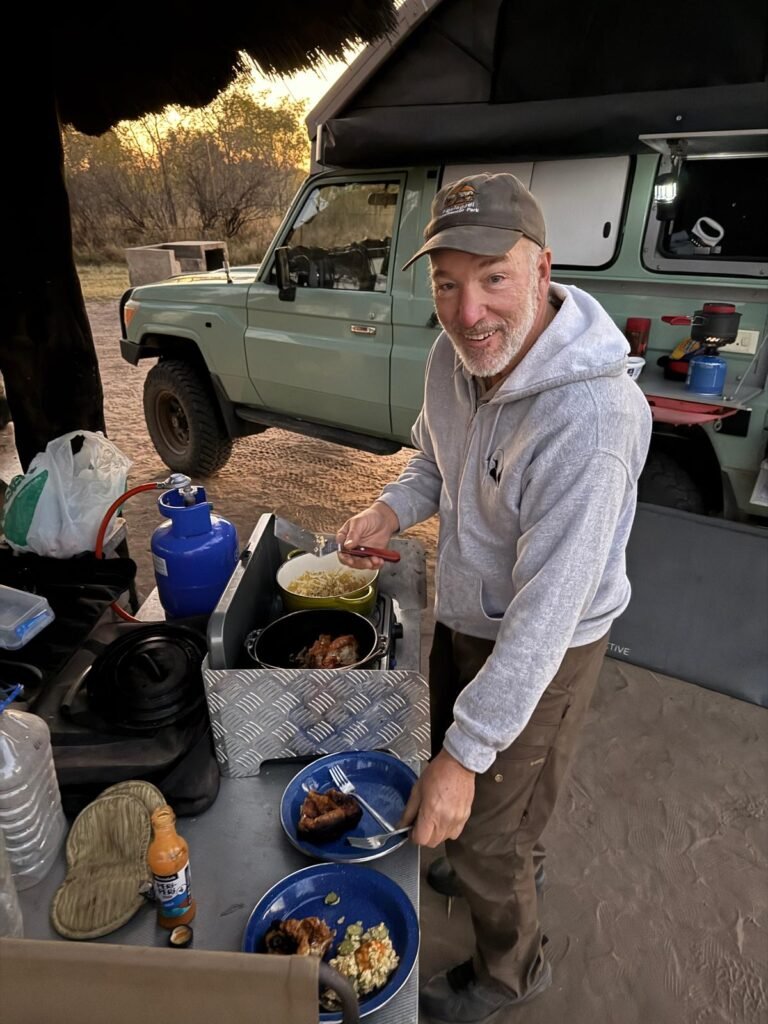
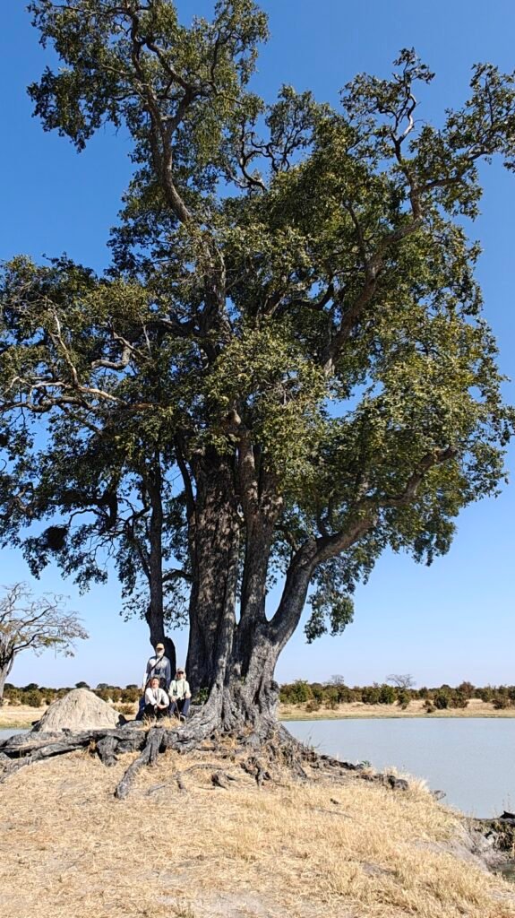
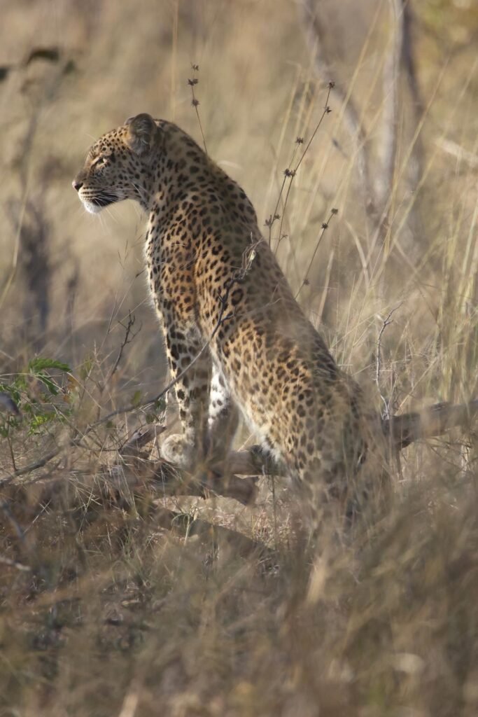
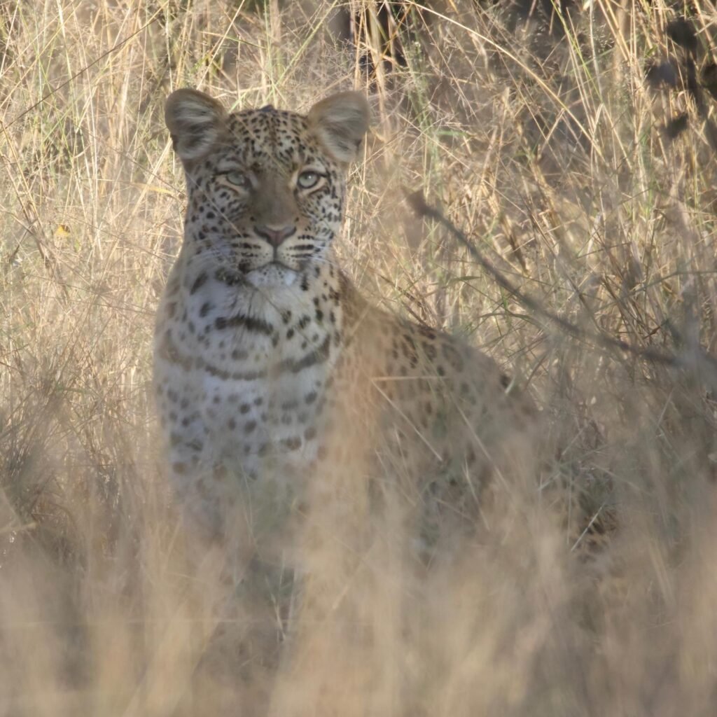
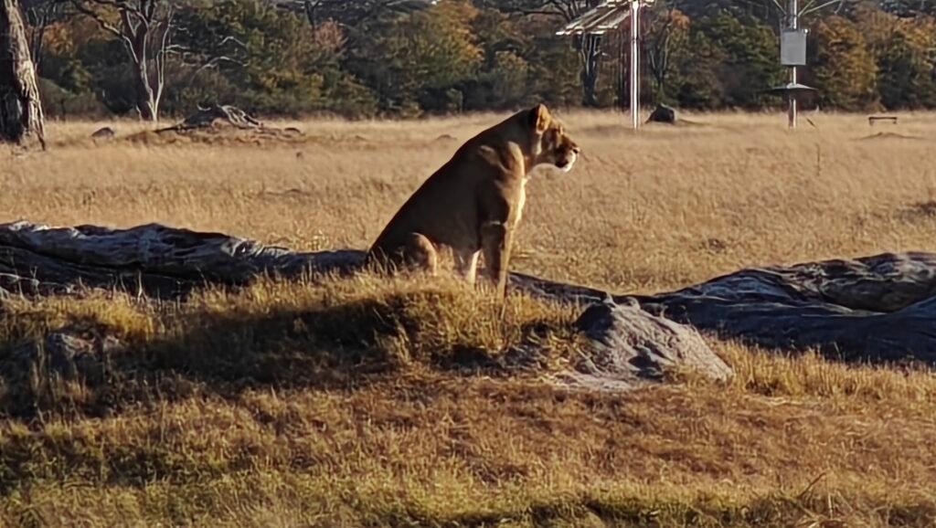
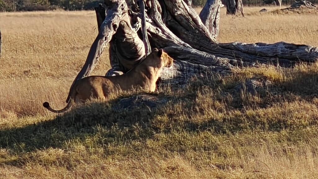
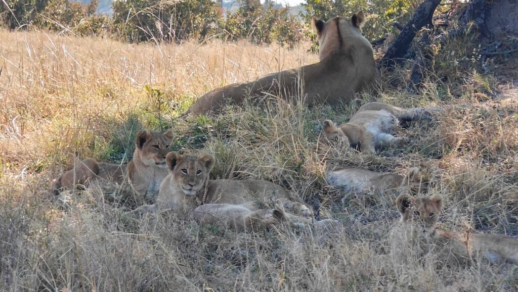
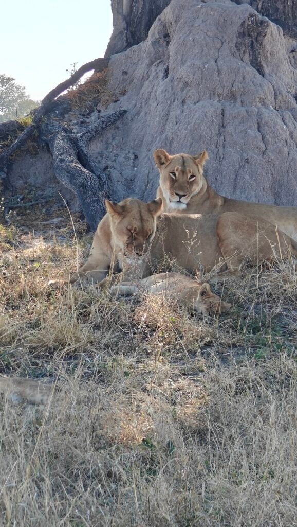
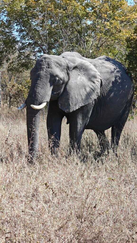
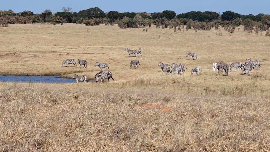
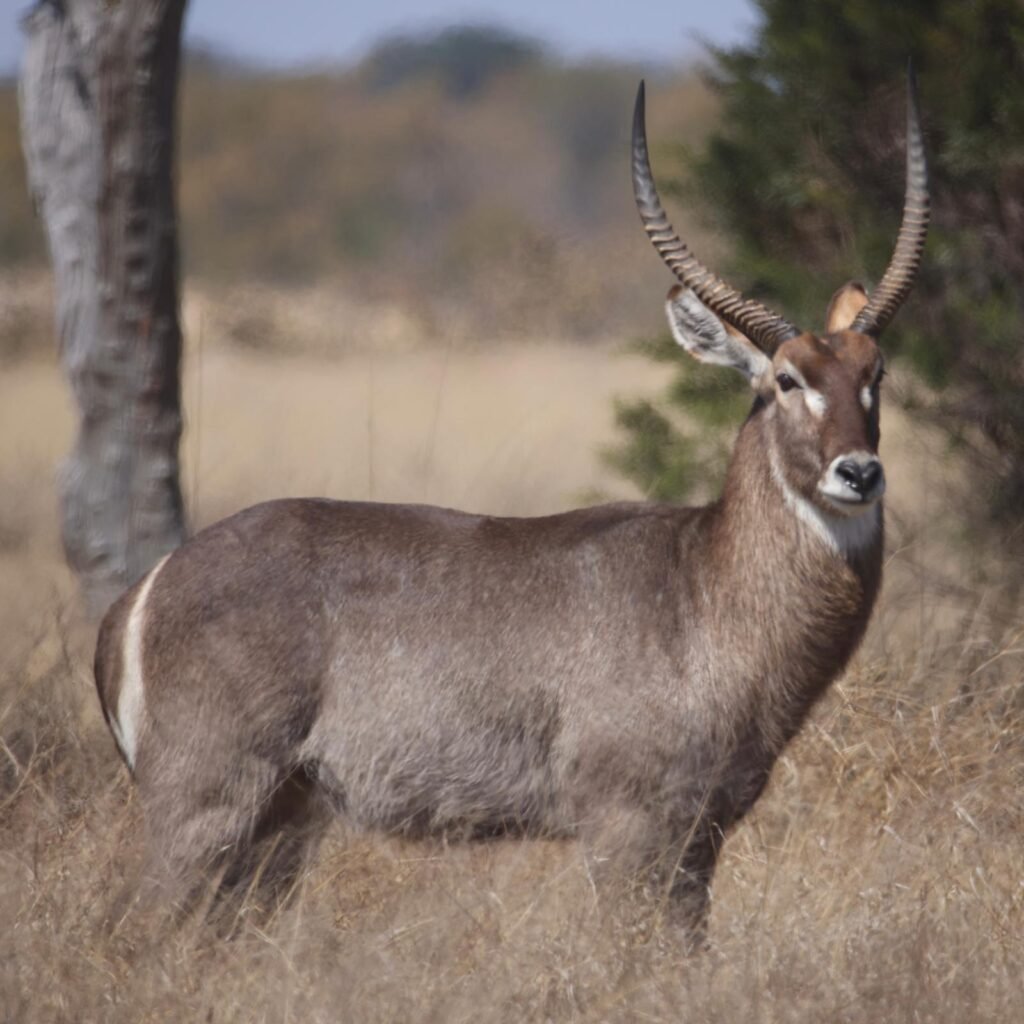
After my extended visit to Kruger National Park, I made my way south towards my ultimate destination in Cape Town, but stopped en route to visit little-known Mokala National Park:
Mokala National Park is located about half way between Joburg and Cape Town and made for a convenient stop on my way back to the Cape. Plus, it is a Park that I had intended on visiting in 2023 but ended up bypassing it, so I was keen to see it this year. Mokala is one of the smallest South African Parks at only 75 square miles and it is the newest Park in the system. The new park effectively replaces the Vaalbos National Park, which was deproclaimed to comply with land claims and diamond prospecting rights. How about that, diamonds versus nature. No surprise who won that battle! It is worth noting that the Park is close to Kimberly, the capital of the Northern Cape Province and the site of the famous Big Hole diamond mine, discovered in the late 19th century and the cause of major civil unrest among several competing factions for control over the mine and those likely to be found in the surrounding area. The Big Hole is purported to be the largest hole ever dug by hand at 1519 feeet wide and 790 feet deep. From 1871 to 1914 up to 50,000 miners dug the hole with picks and shovels, yielding 6,000 lb of diamonds. Today, it’s just a big hole halfway filled with water.
After deciding that diamonds were more important than nature, in 1998 SANParks undertook a study to determine the best replacement locations for the soon to be dug up Vaalbos Park. Eventually, they selected the current site in 2005 and purchased the land from private farms, consolodating several tracts into a single Park, and then in 2006 began the laborious process of relocating hundreds of the larger game animals from Vaalbos to the new Park, beginning with giraffes – can you imagine? The Park was officially proclaimed in 2007. To the credit of SANParks, 20 years later when I visited, the Park was teaming with wildlife. In fact, so much so, that the Park is now used to relocate surplus animals to other Parks and to sell some to private game reserves to raise funds. Apparently, despite the Parks small size, the habitat is productive enough that many of the large herbivores do exceedingly well.
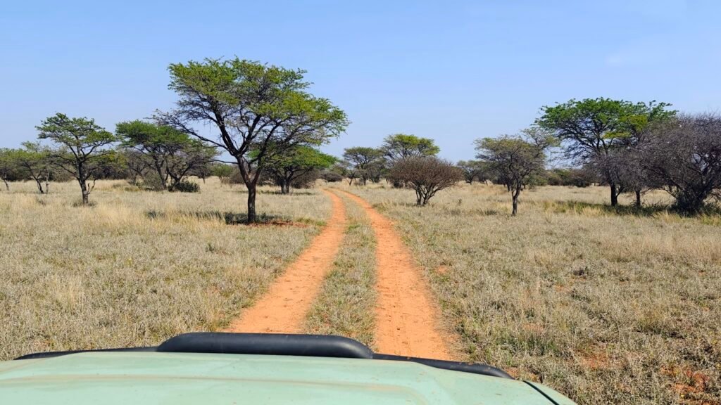
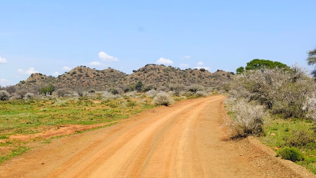
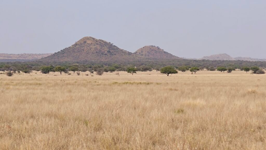
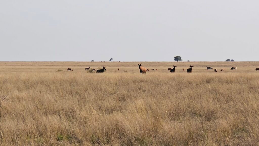
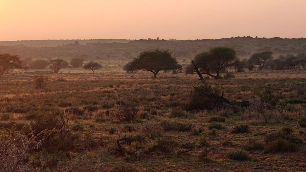
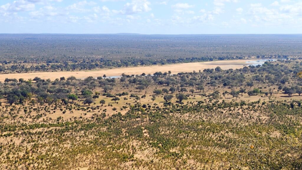
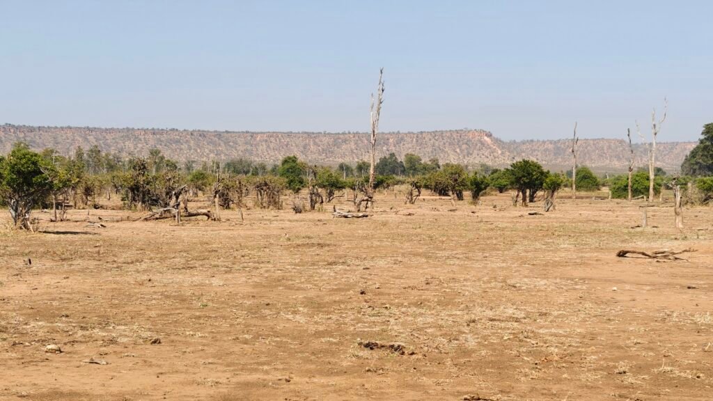
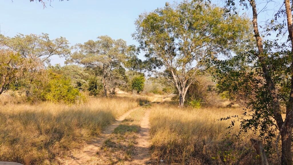
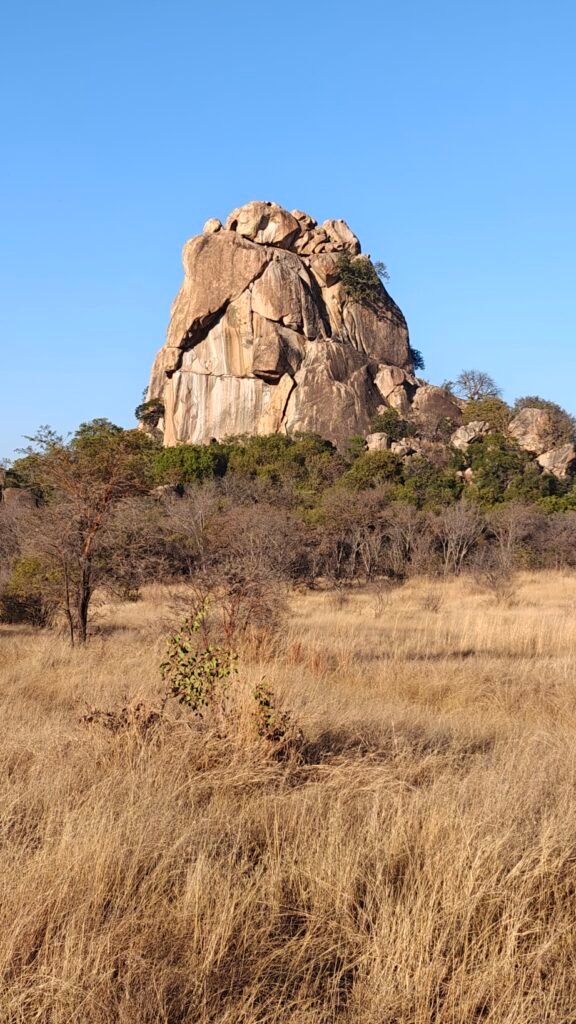
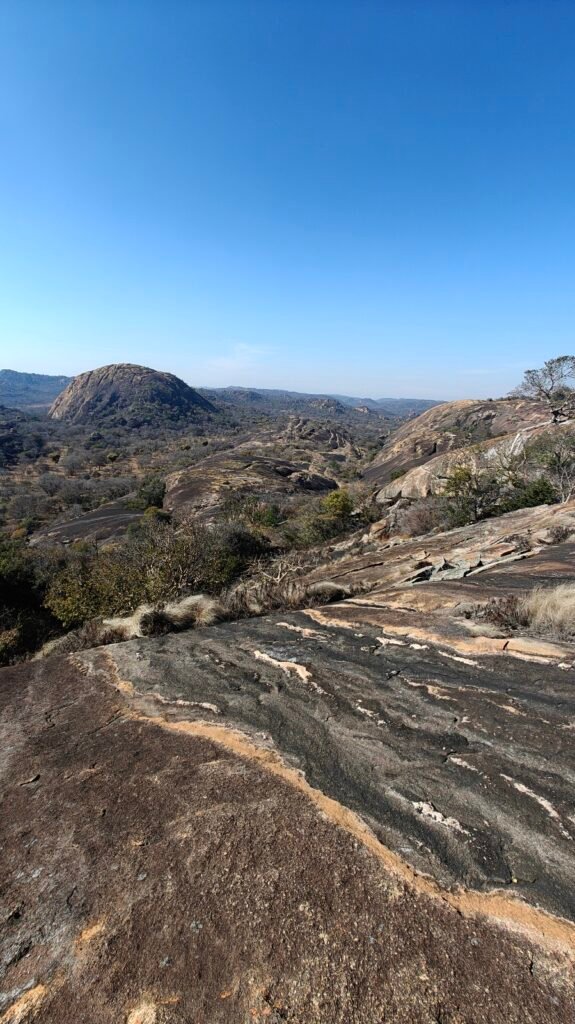
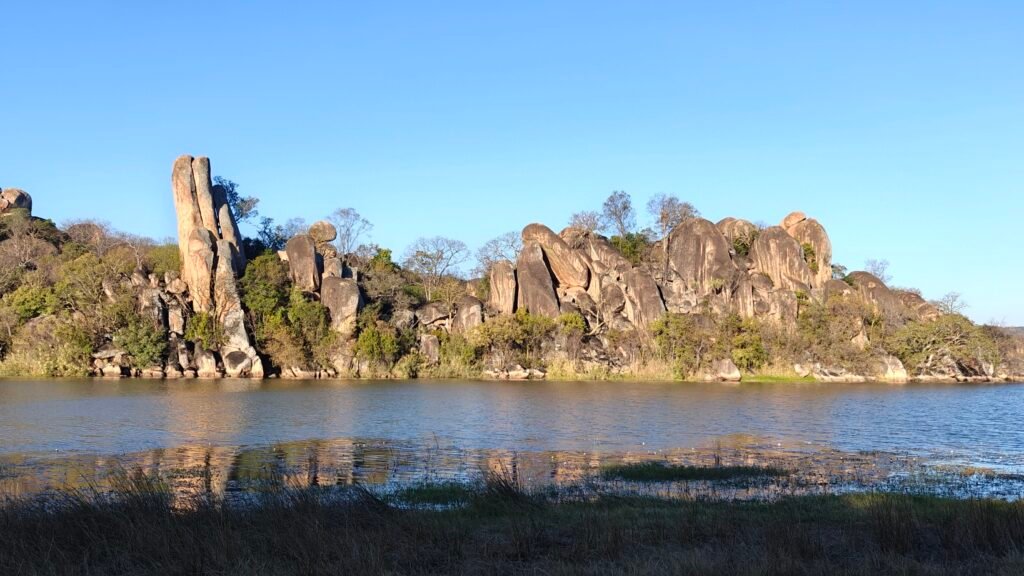
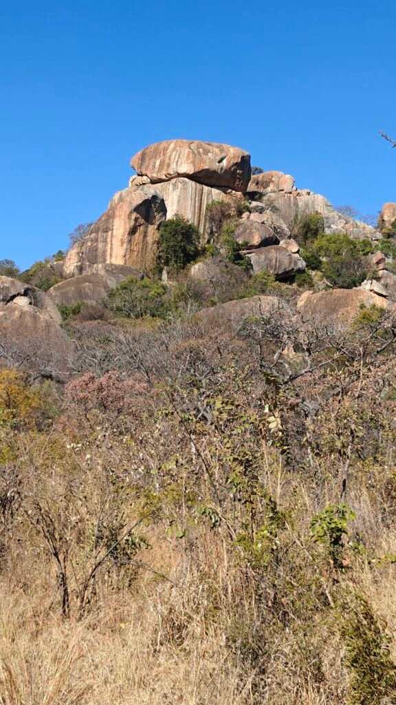
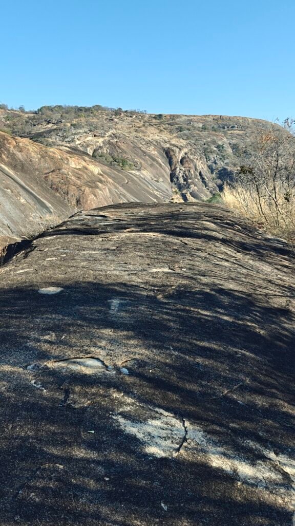
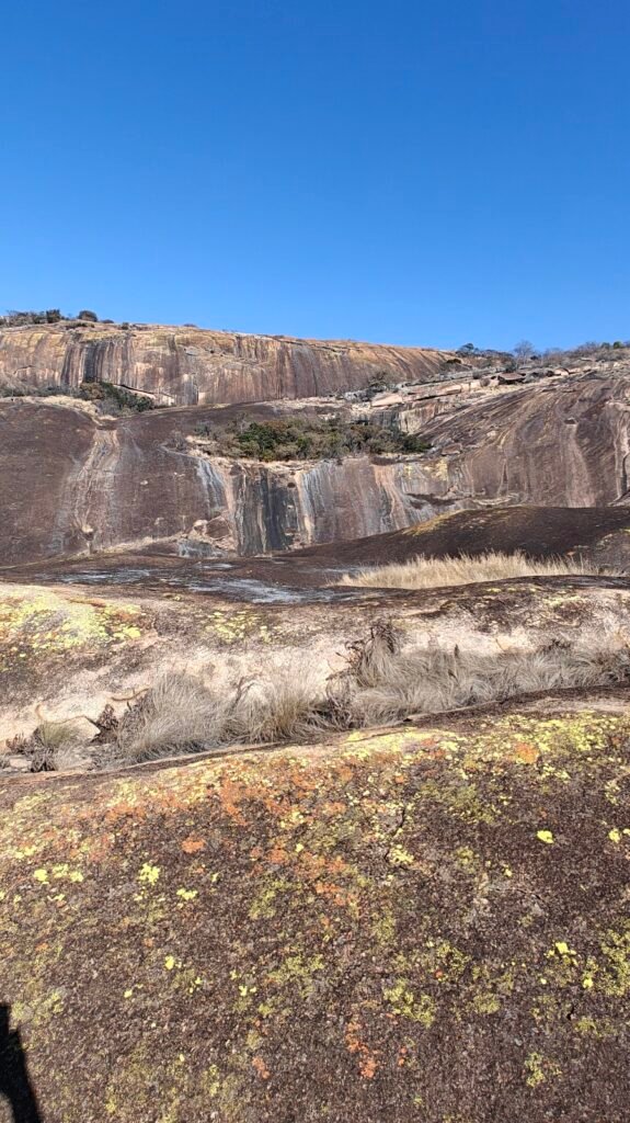
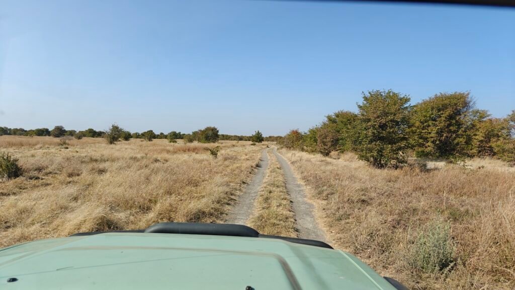
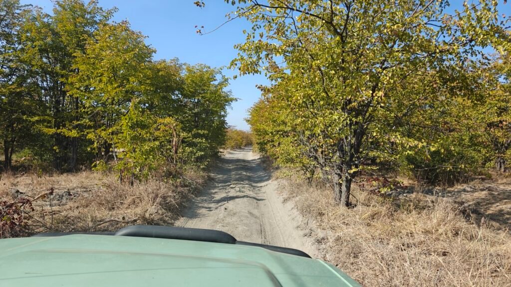
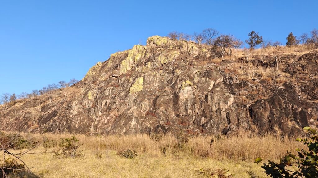
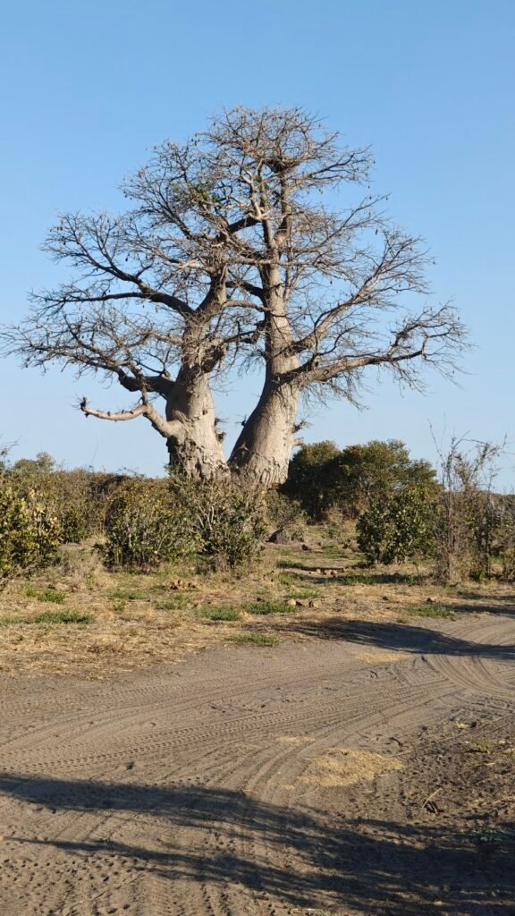
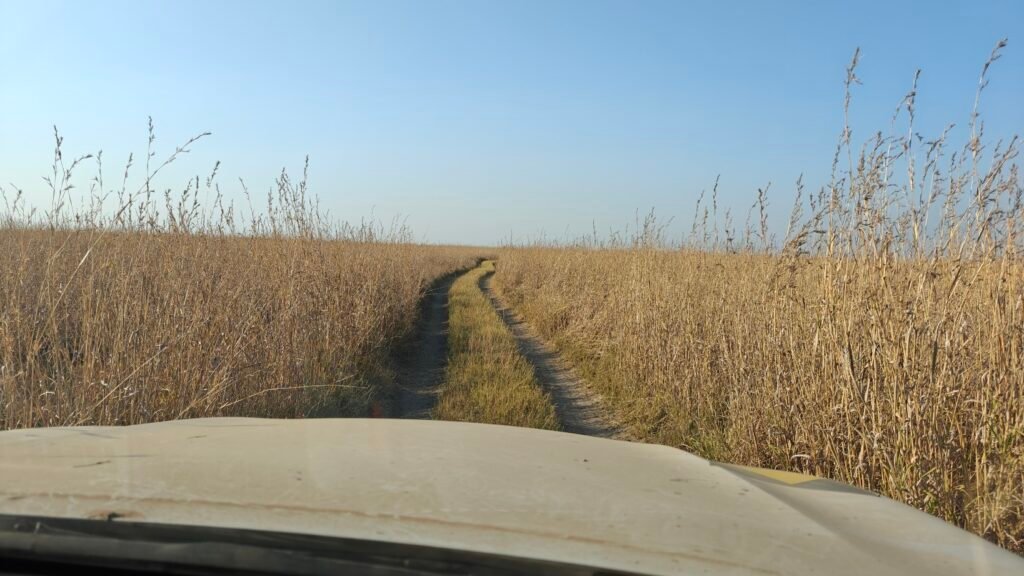
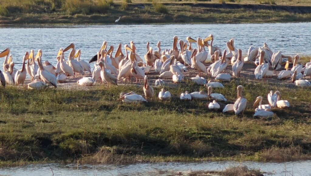
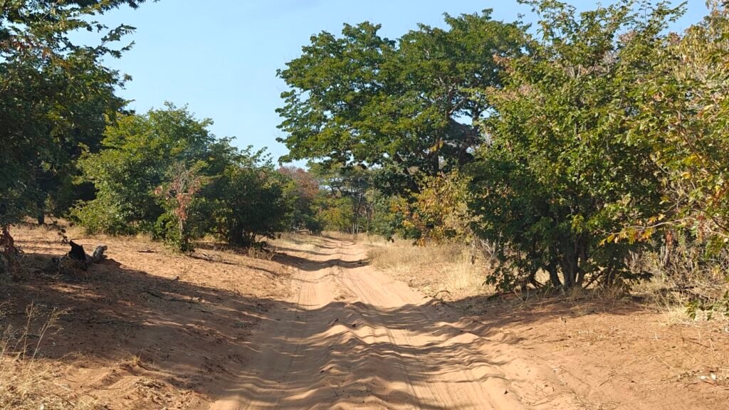
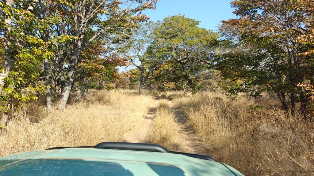
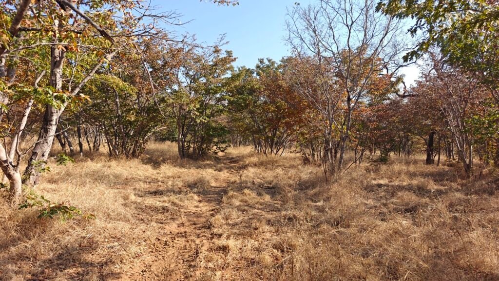
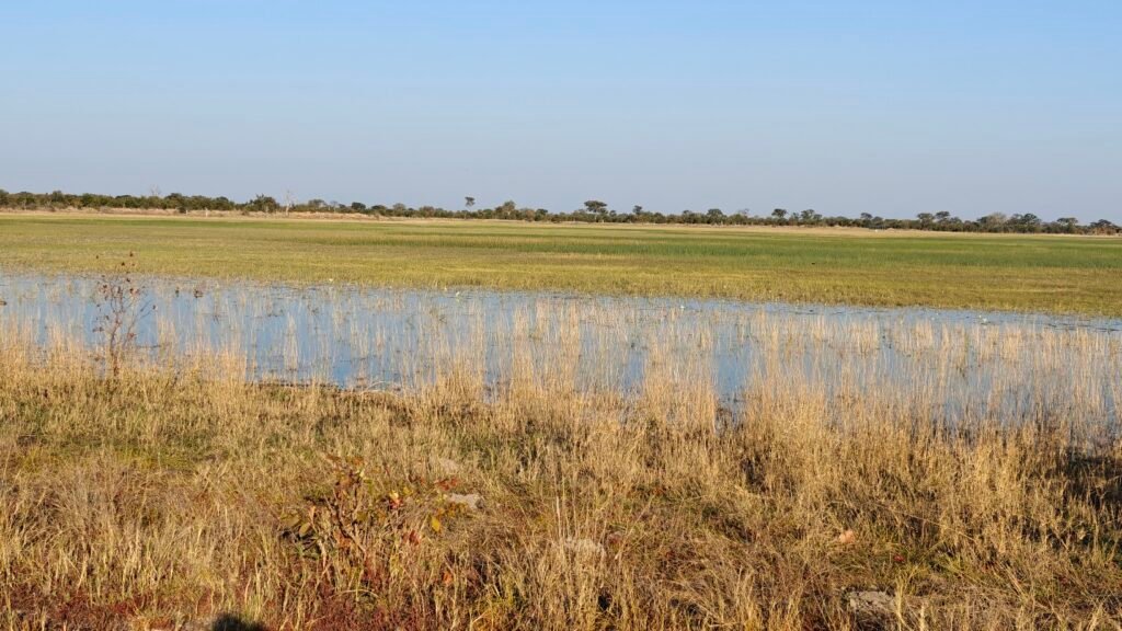
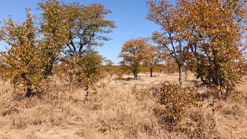
This gem of a little Park, that even most of the South Africans that I met didn’t even know existed, may owe its diversity and productivity to the fact that it lies on the transition zone between the Karoo (the eastern-most Nama-Karoo section) and the Kalahari ecosystems. Thus, characteristic wildlife from both of these major ecosystems can be found in this very small Park, as you will see below. The quintessential tree of both ecosystems is the Camelthorn Acacia, which is found in abundance in this Park. In fact, the Park is named after the camelthorn, which is called “mokala” in the native Setswana language. Here’s a few pictures of the diverse landscape in this Park:
Camelthorn Acacia savannahRocky hills or KoppiesGrassland grading into Camelthorn Acacia woodland with Koppies in the backgroundGrassland with Tsessebe antelopeJust a pretty early morning scene in the Camelthorn Acacia open savannah
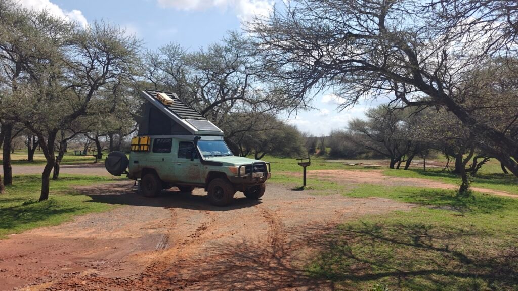
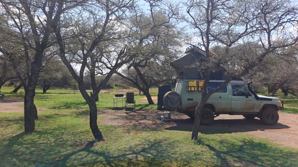
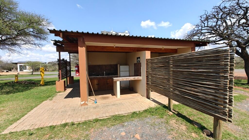
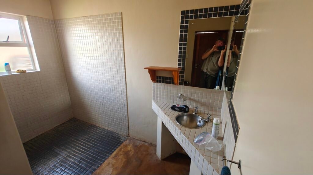
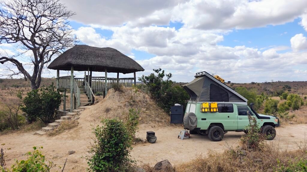
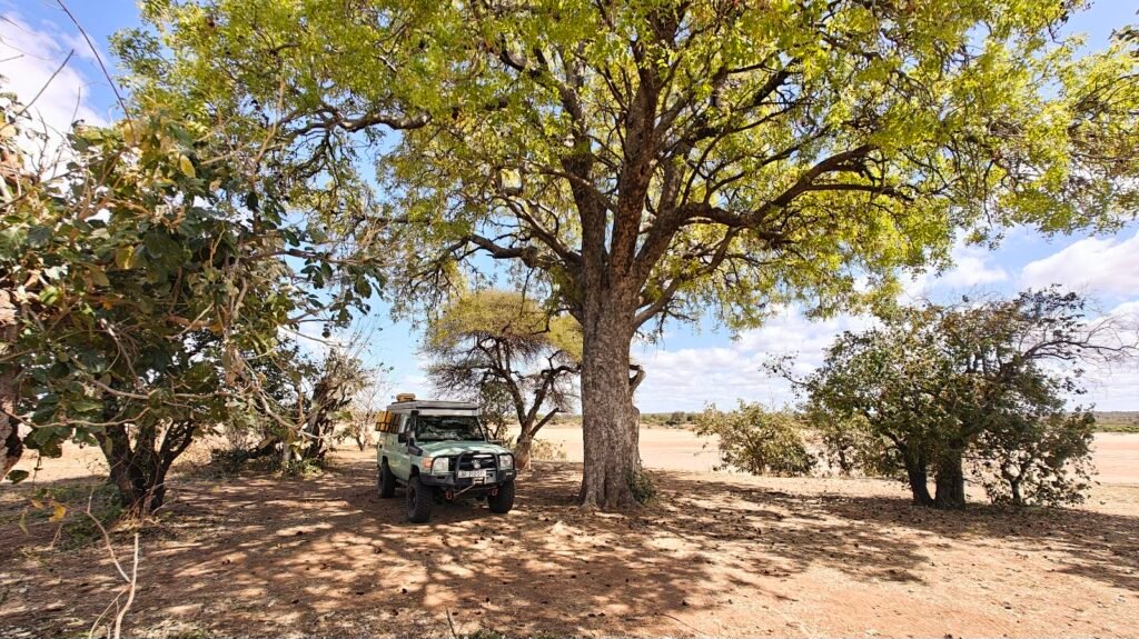
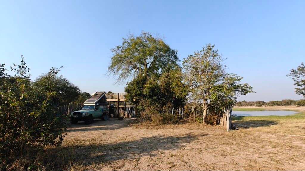
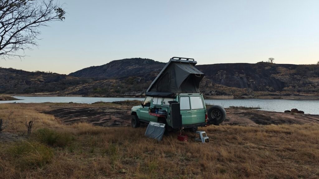
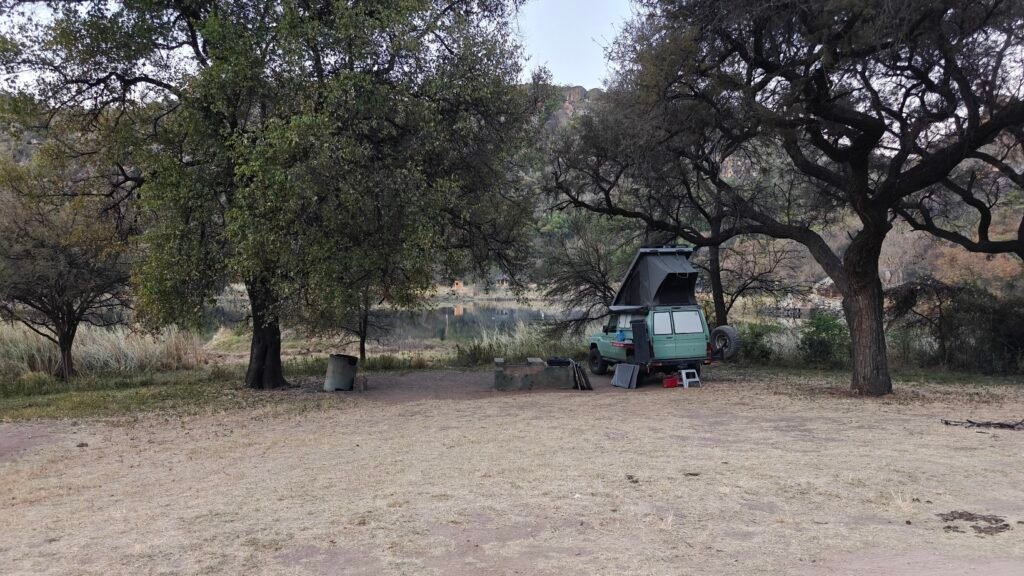
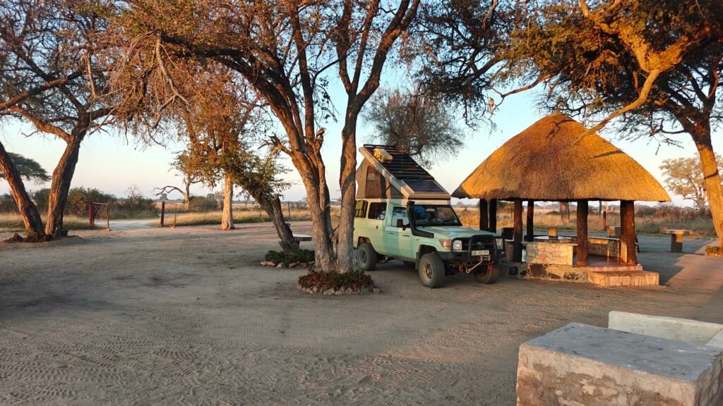
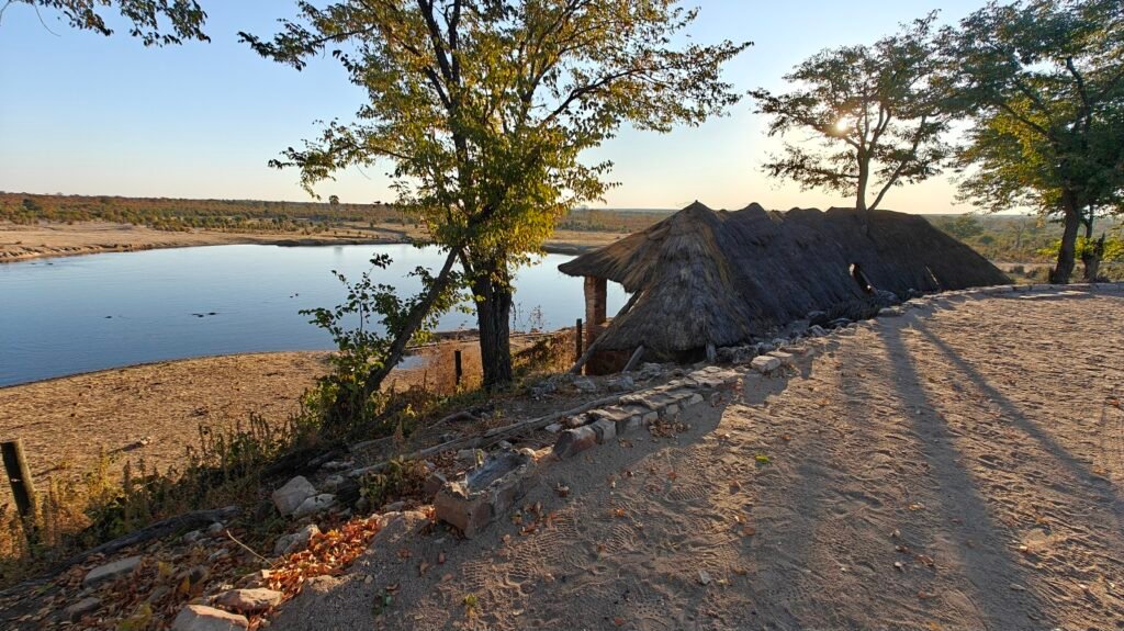
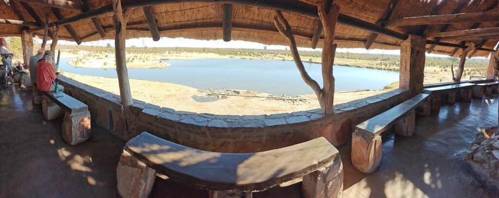
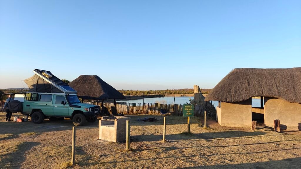
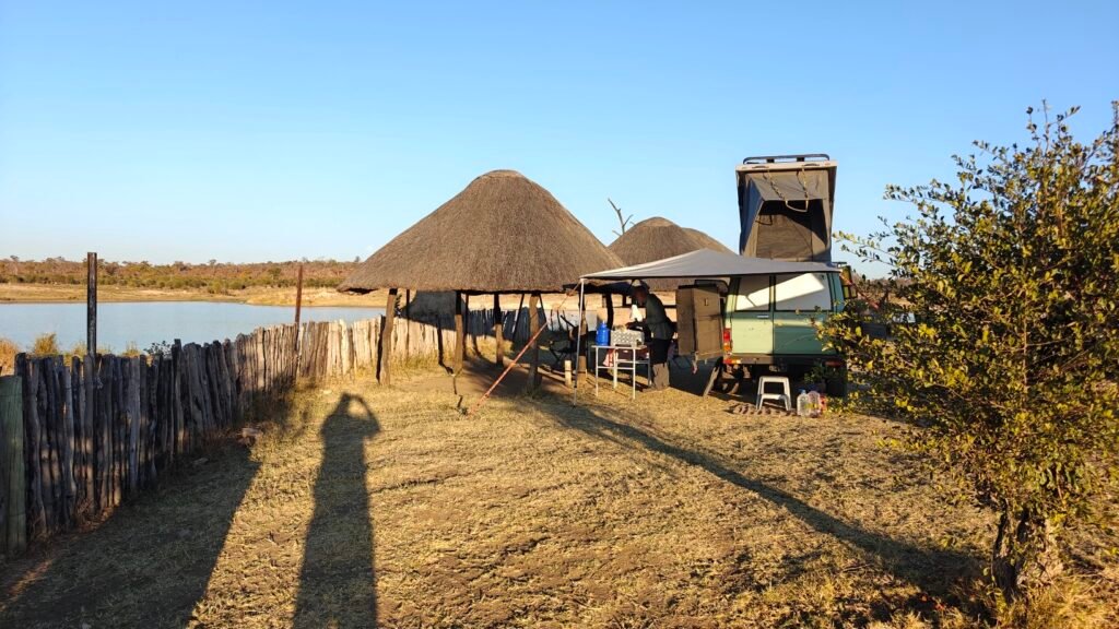
One thing of interest to me, and other potential visitors, was the lodging/camping accommodations. I stayed in the only campground, which consisted of only 6 luxury sites adjacent to a productive waterhole. Each site had its own luxury ablutions, including kitchen with propane stove and refrigerator/freezer, and toilet and huge shower, as seen in the following pictures:
My campsite in MokalaMy campsite at MokalaMy luxury ablutions, showing the kitchen, at my Mokala campsiteMy luxury shower at my Mokala campsite
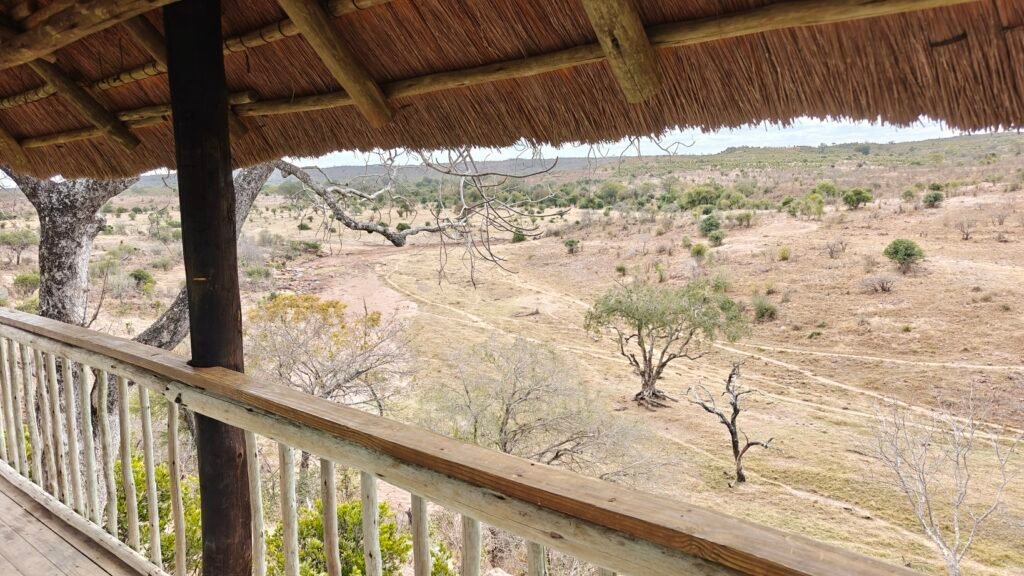
In addition to the small but luxurious campground, the Park also has a couple of lodges with a handful of chalets and a few amazing “tree houses” overlooking waterholes. Indeed, if we were to come back to this Park, I think we would opt to stay in one of these spectacular tree houses. One of the nicest things about this Park was how few visitors there were. Consequently, all of my wildlife viewing was private and intimate. This was a welcome change after the crowded Kruger National Park.
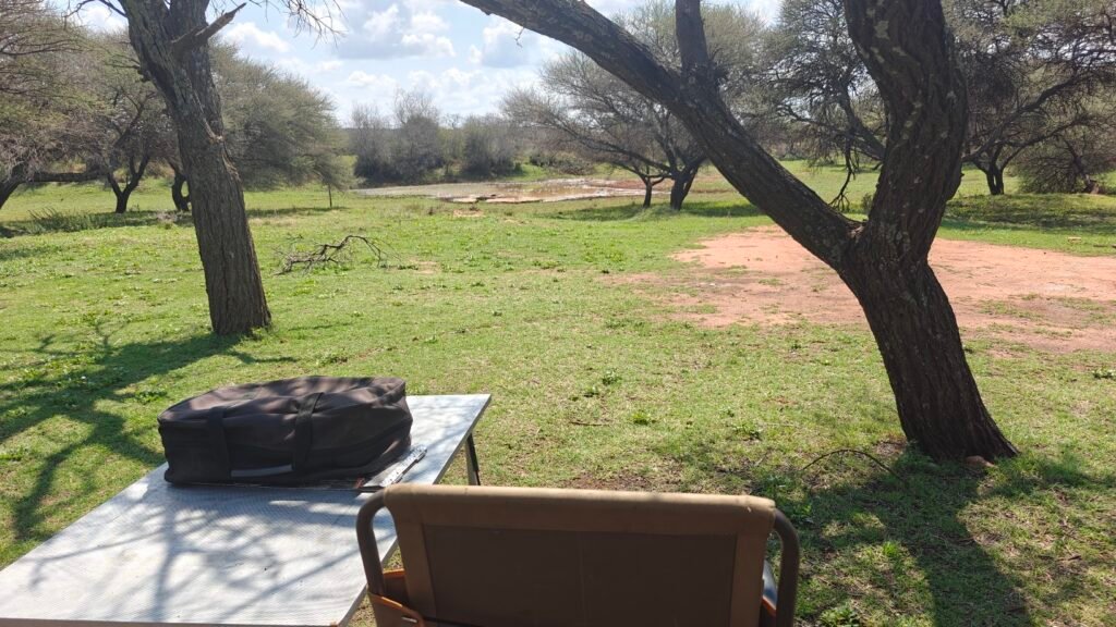
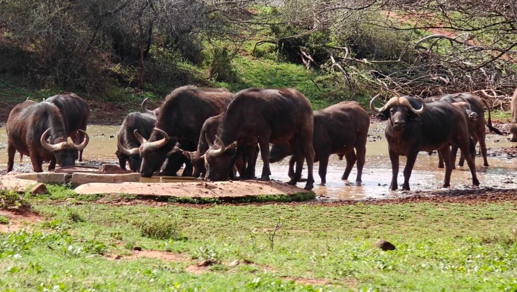
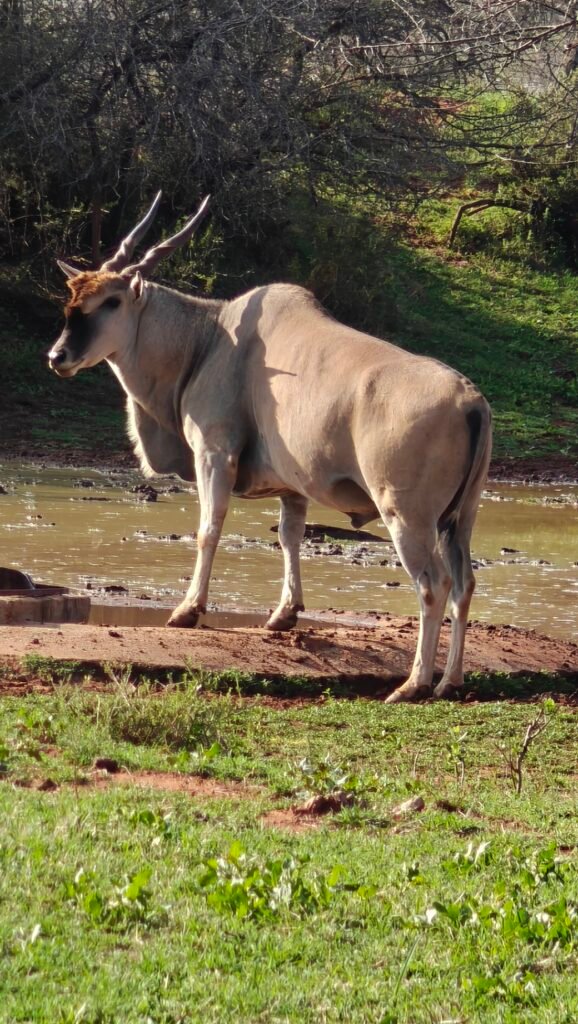
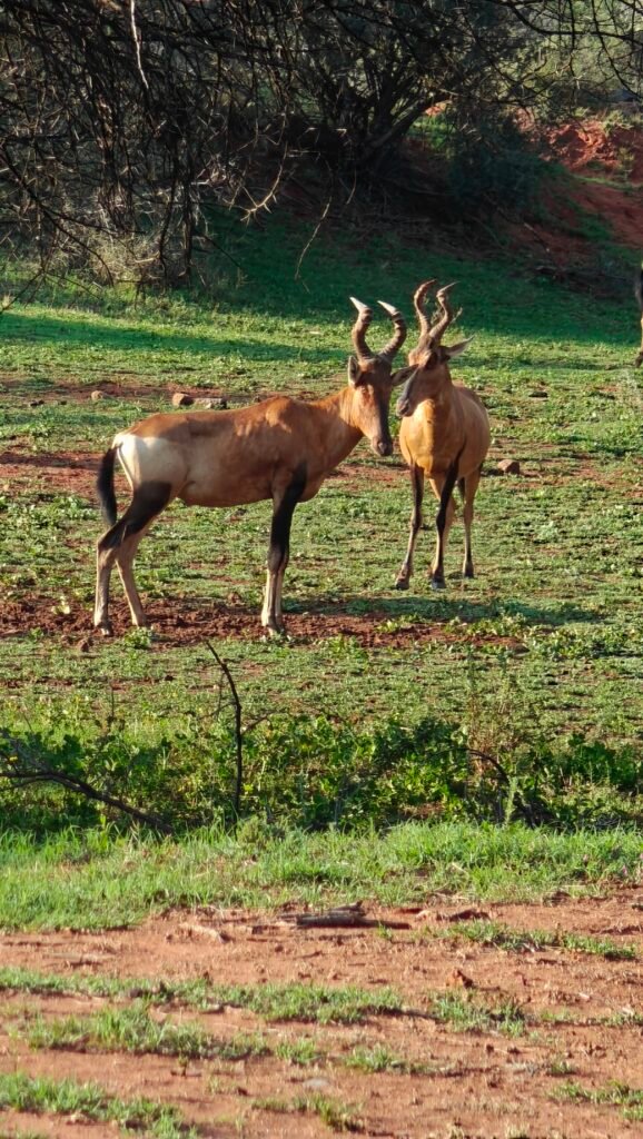
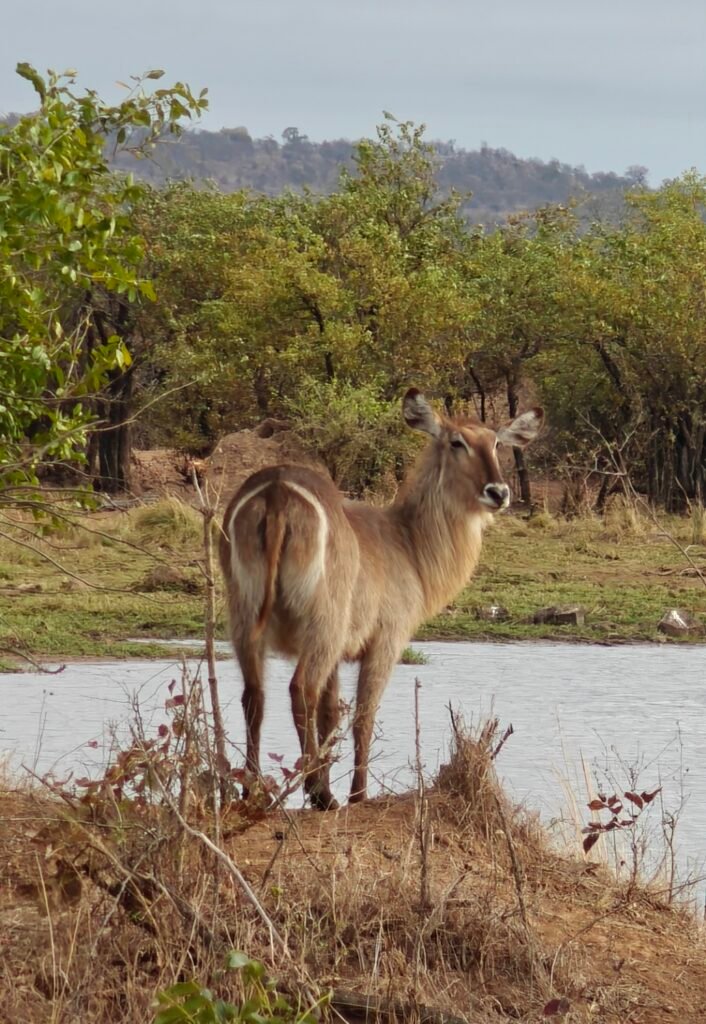
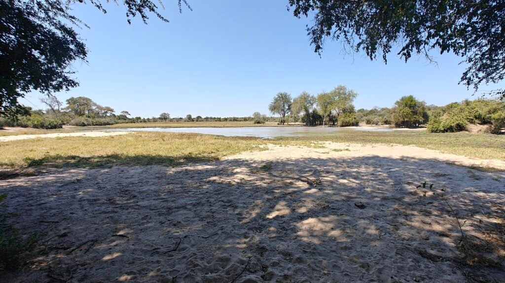
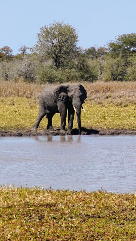
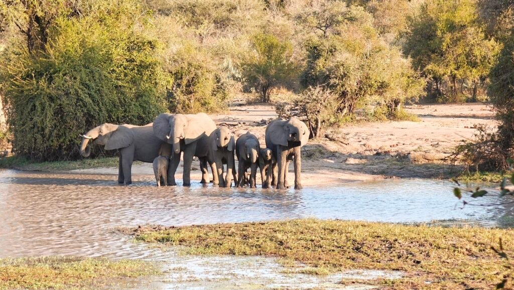
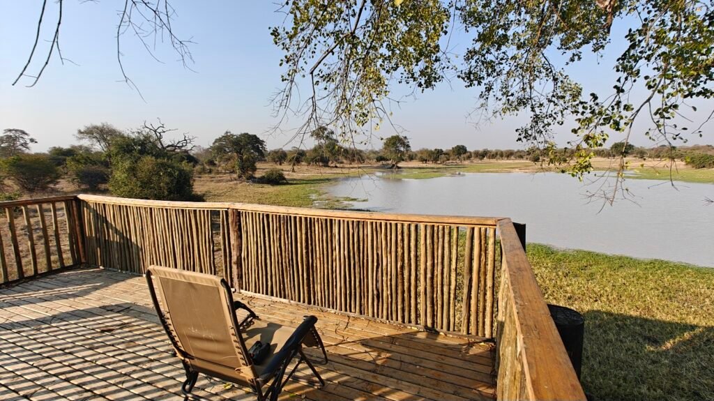
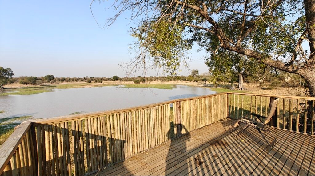
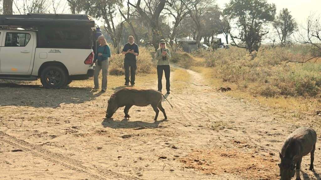
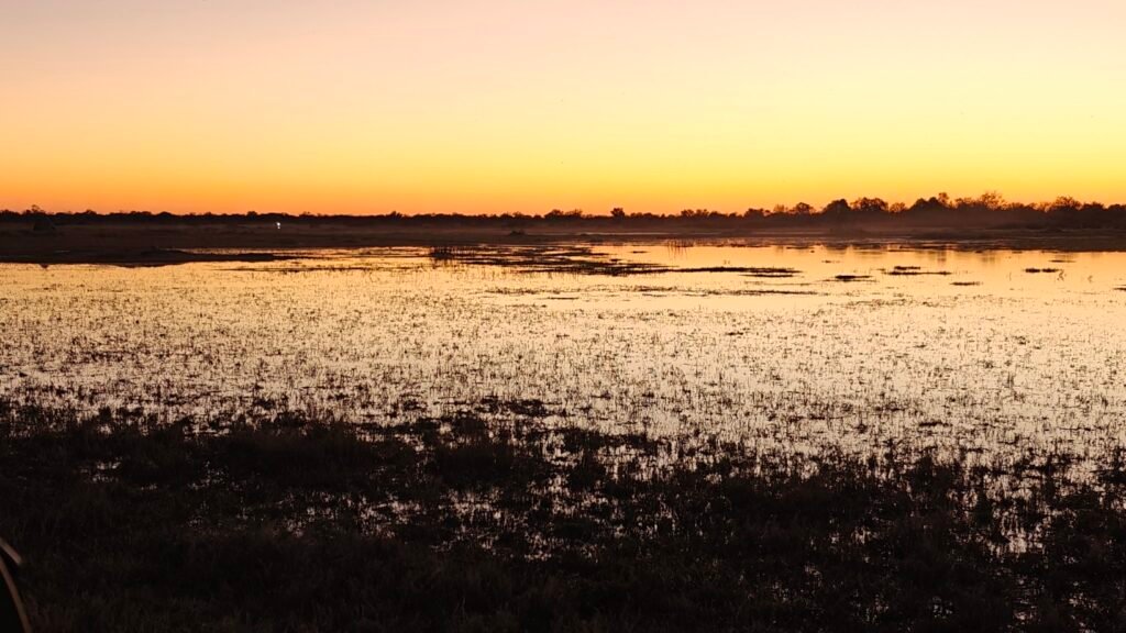
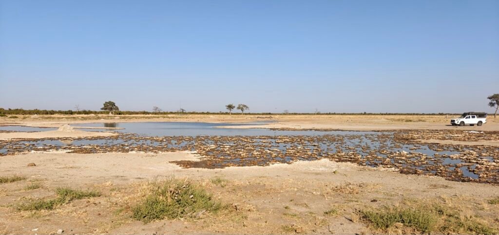
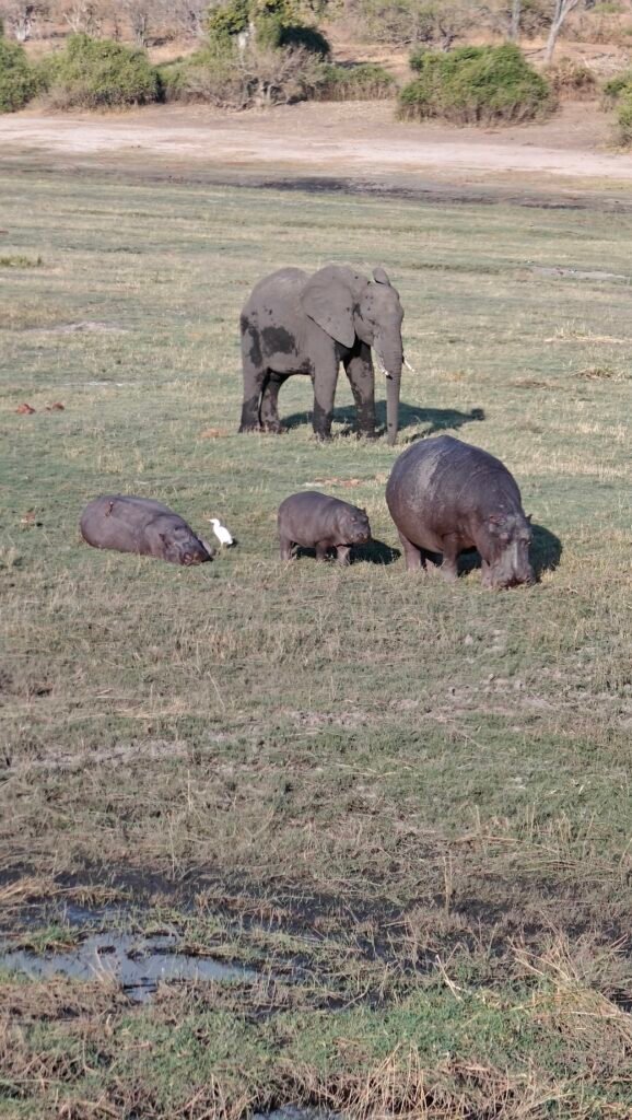
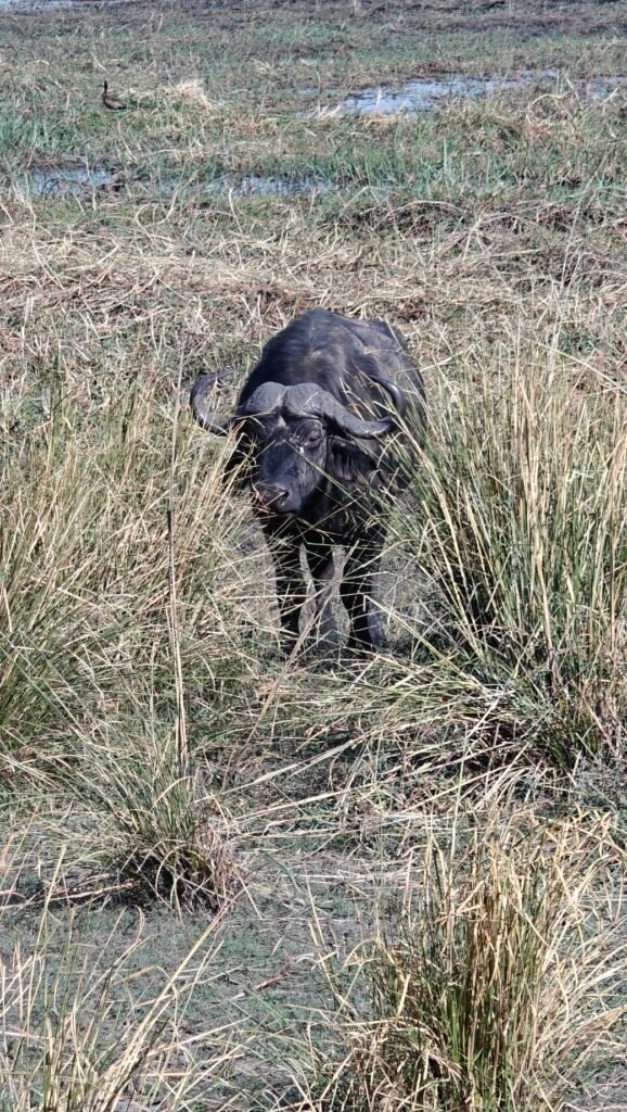
As note above, the water hole, a mere 100 feet away from my site, was very productive. Here’s a sample of a few of the animals that came into camp to graze and/or to quench their thirst at the waterhole:
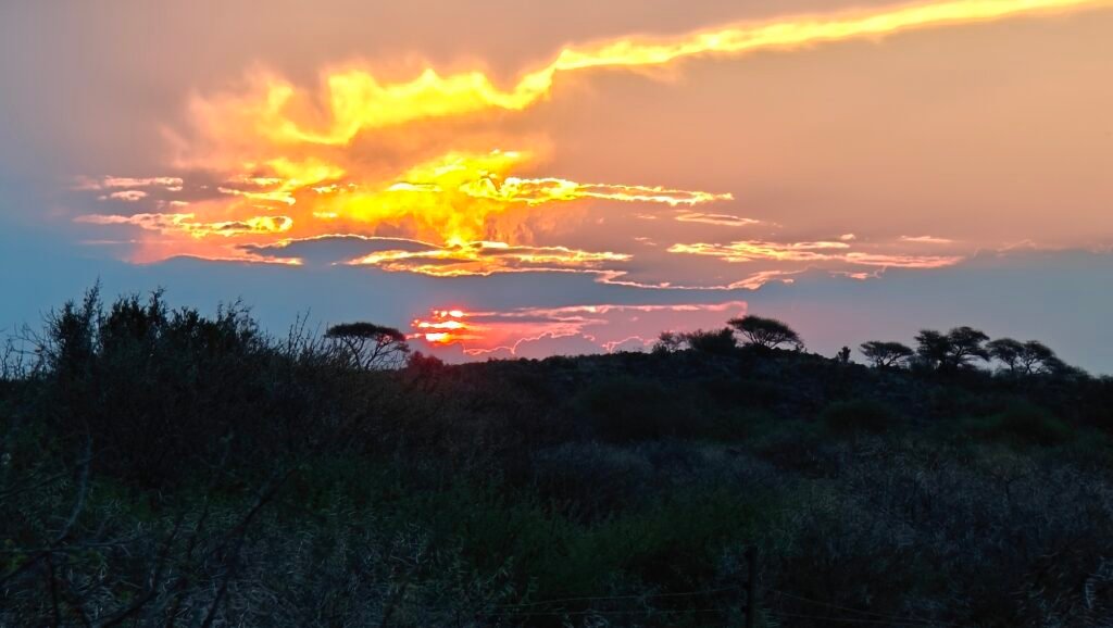
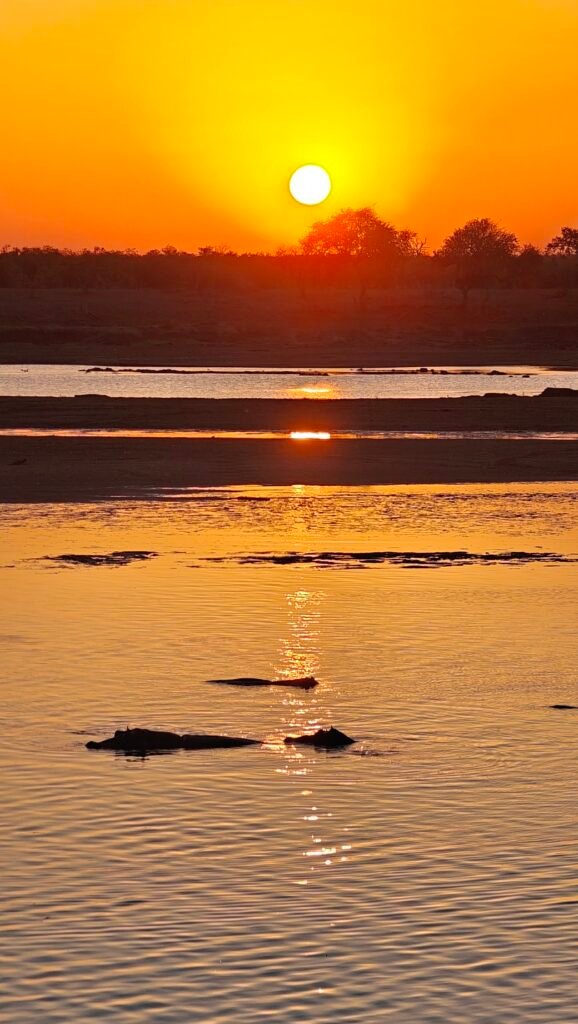
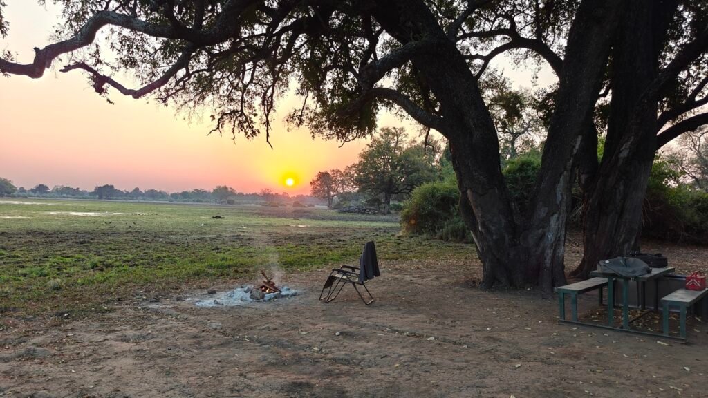
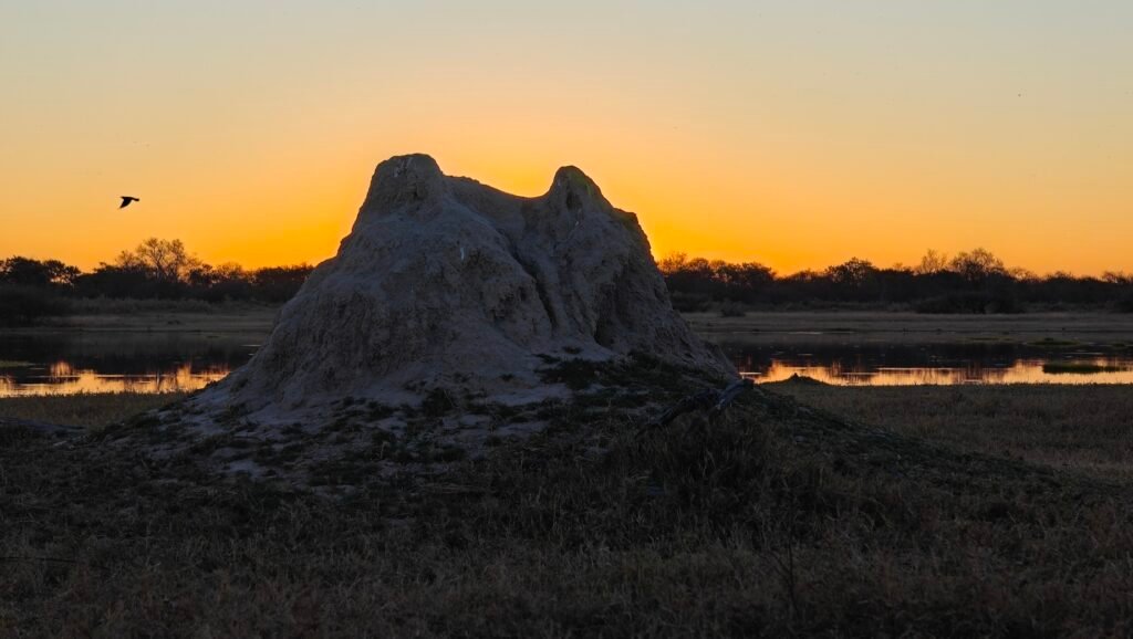
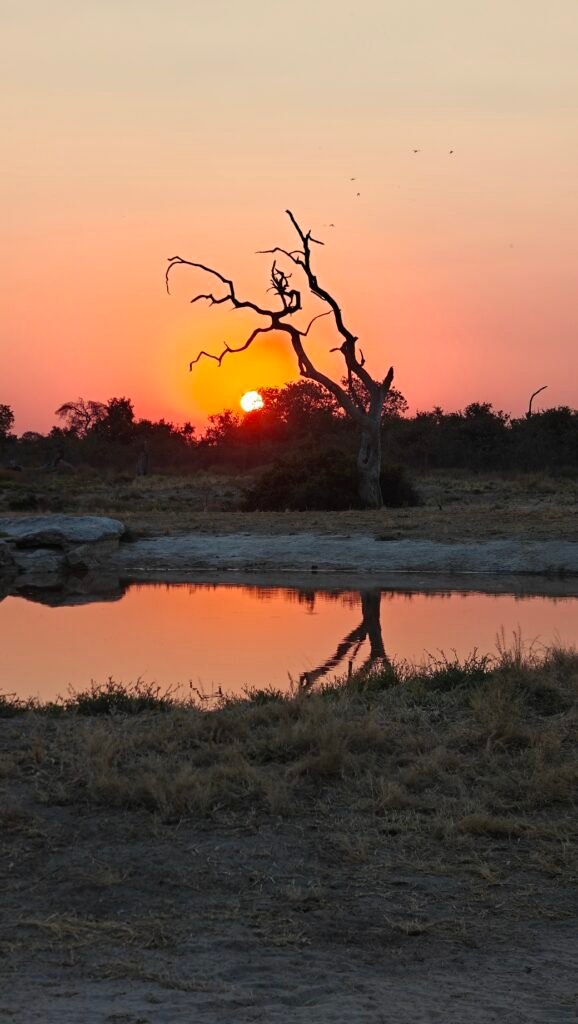
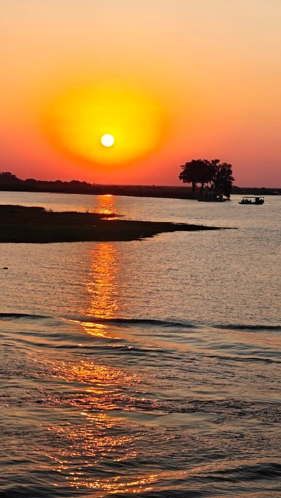
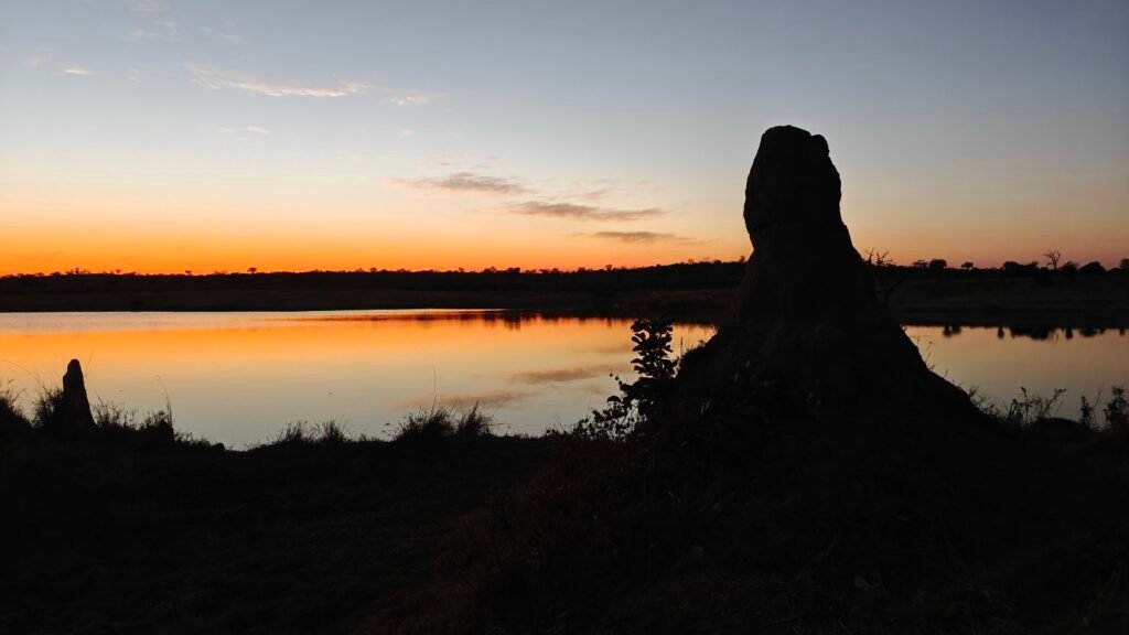
View of the waterhole at my Mokala campsiteBuffalo at the waterhole at my Mokala campsiteEland at the waterhole at my Mokala campsiteRed hartebeest next to my Mokala campsiteEthereal sunset from my Mokala campsite
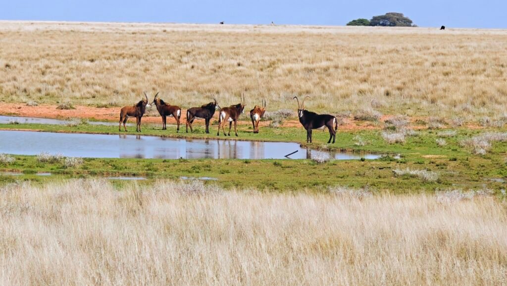
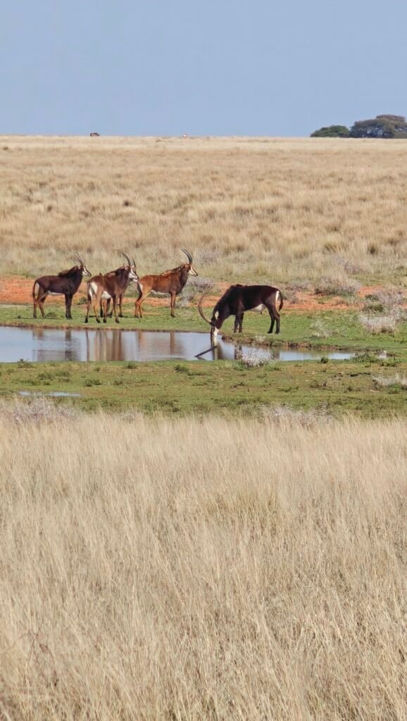
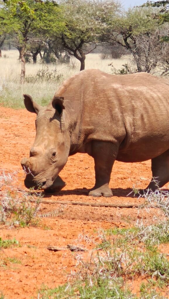
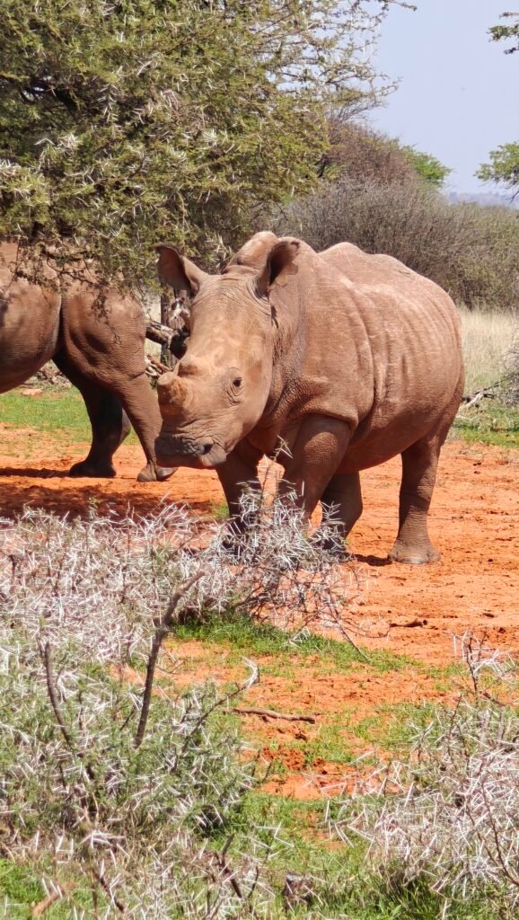
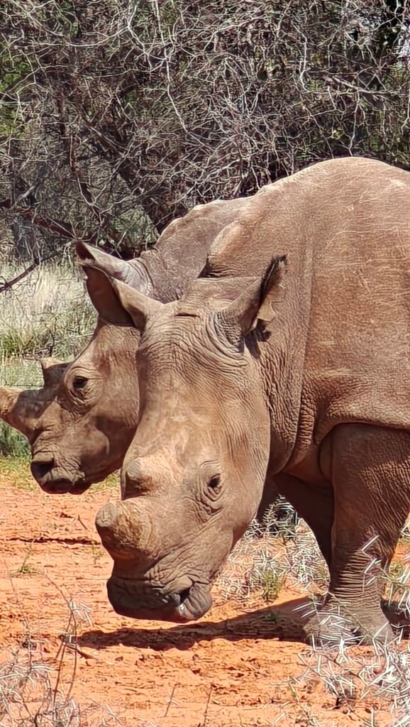
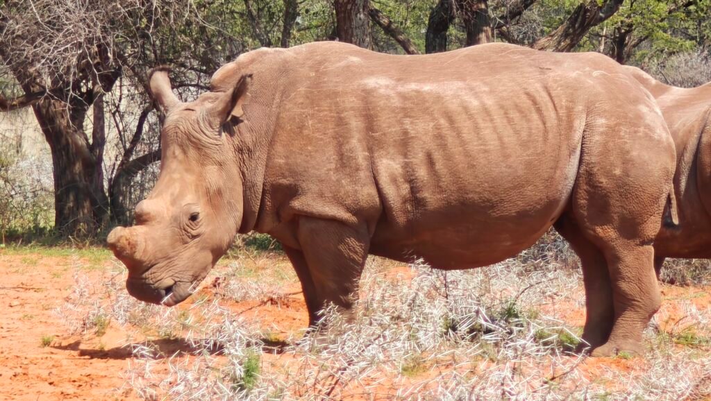
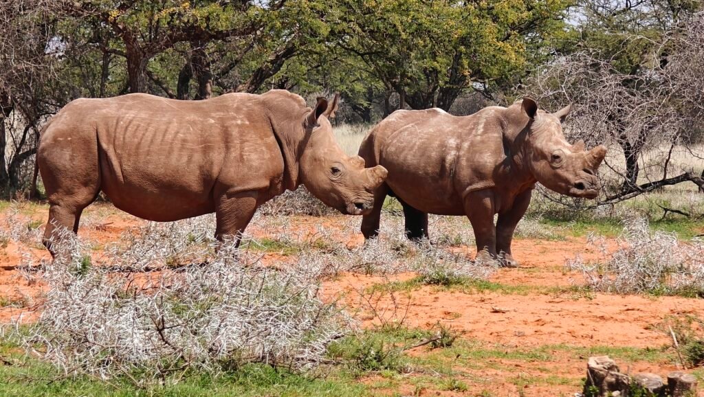
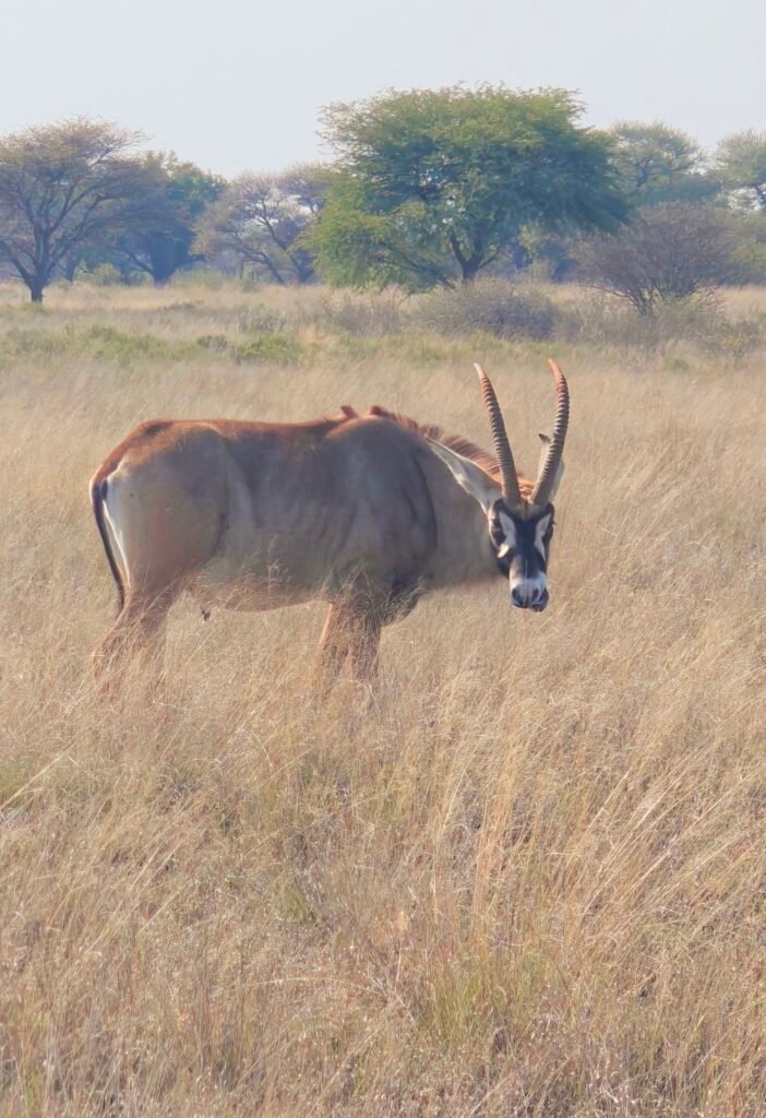
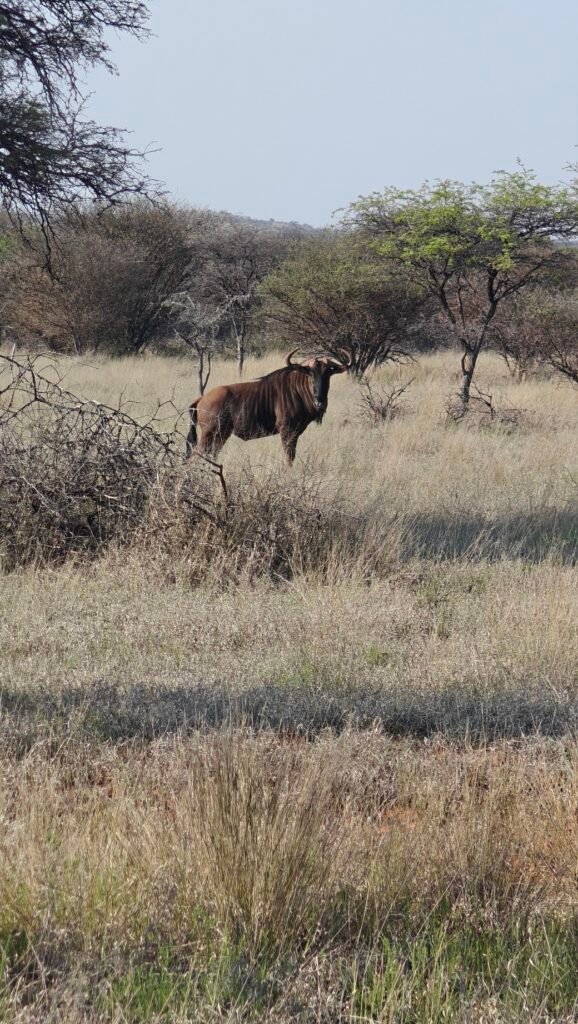
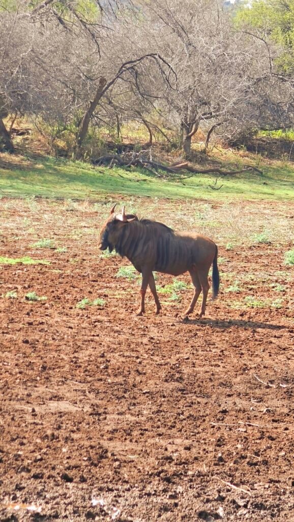
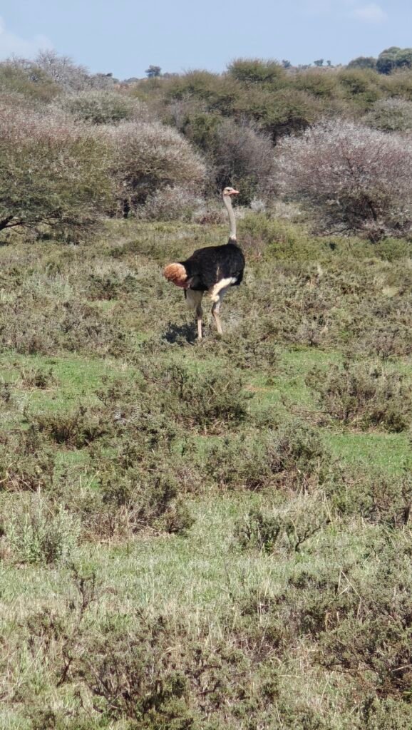
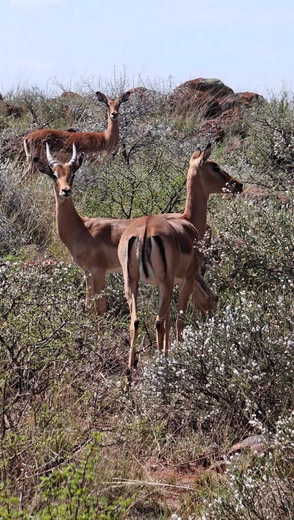
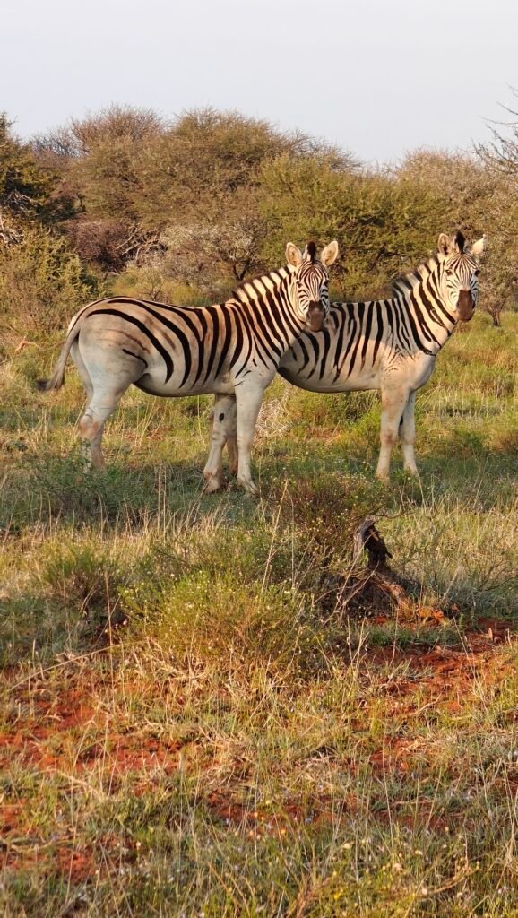
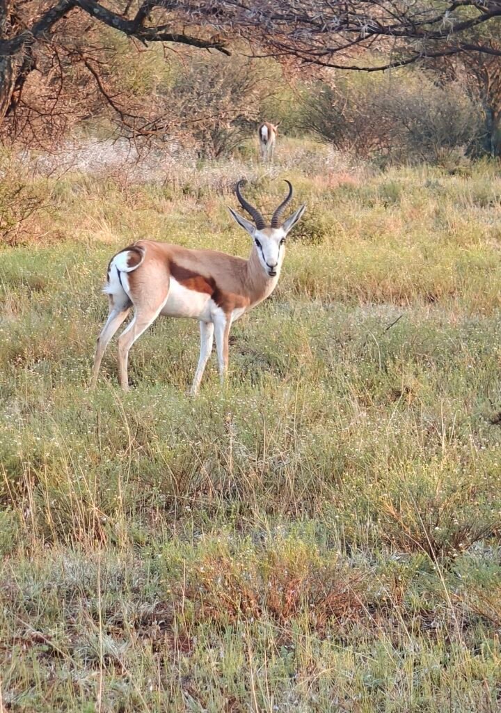
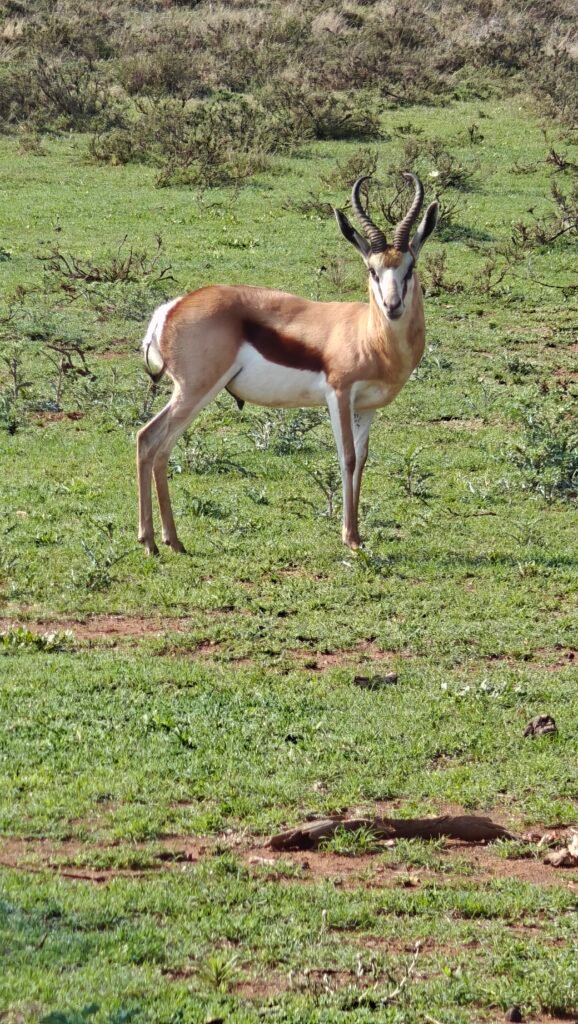
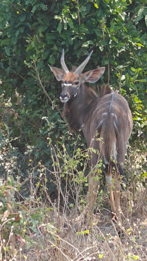
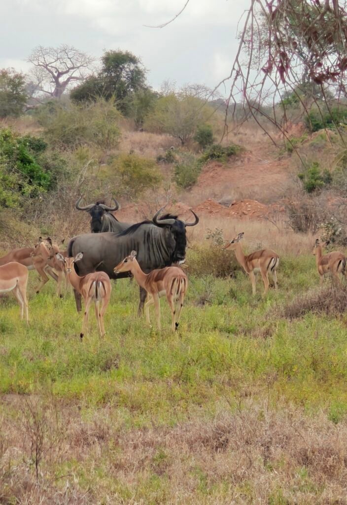
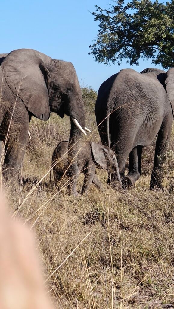
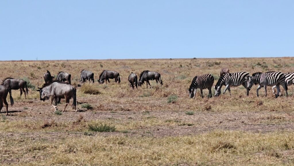
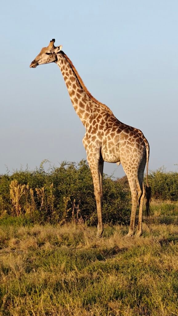
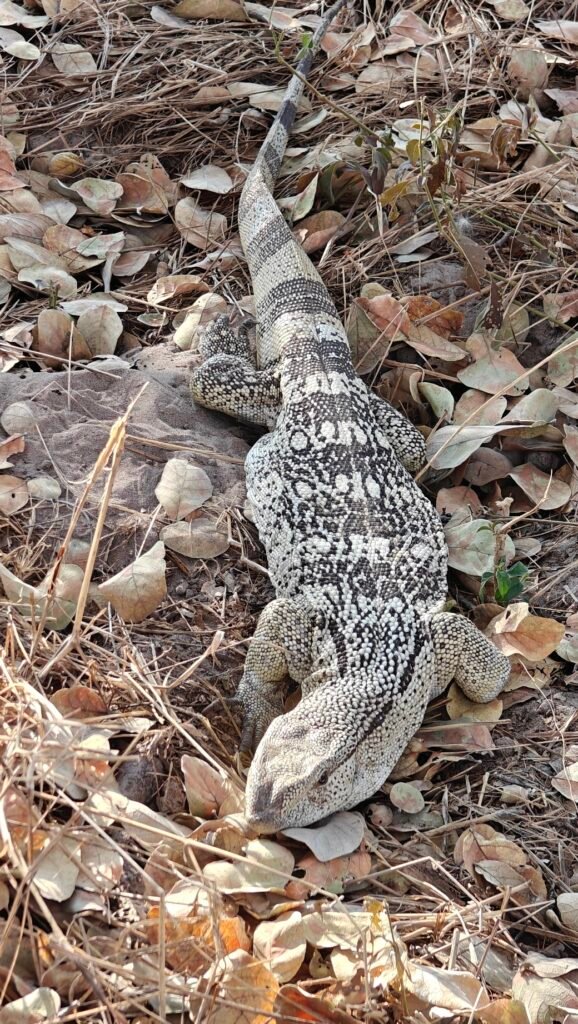
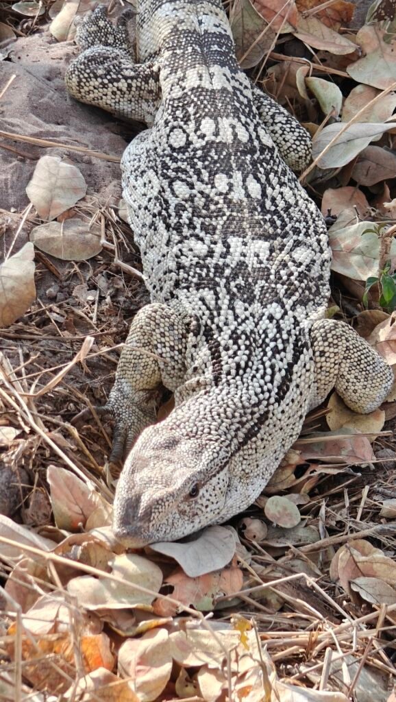
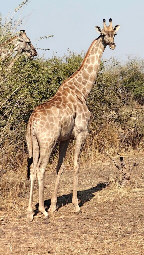
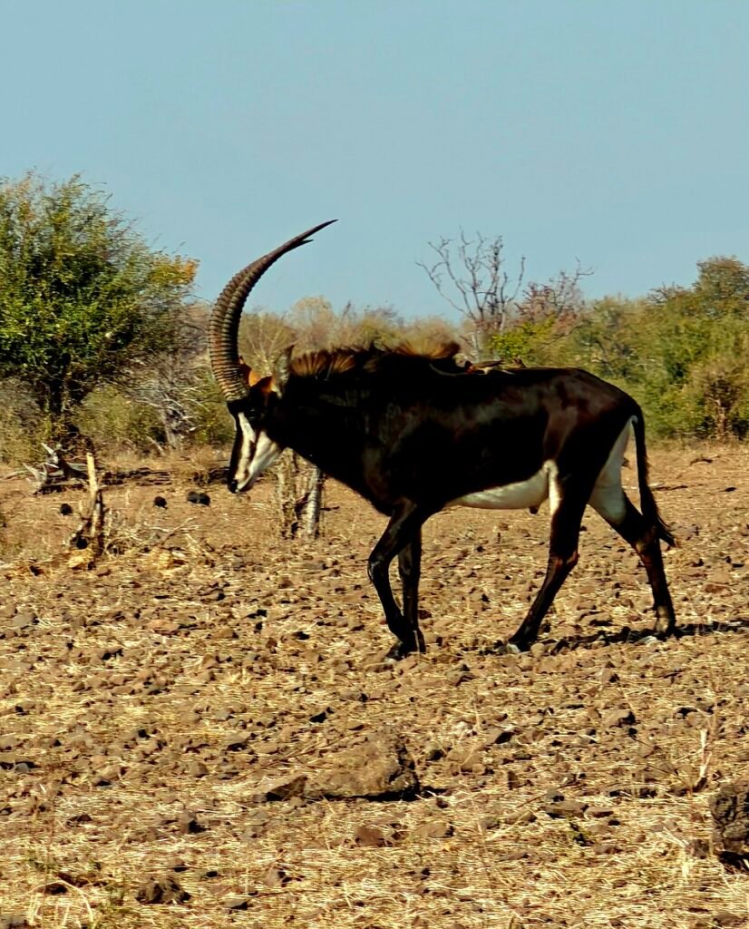
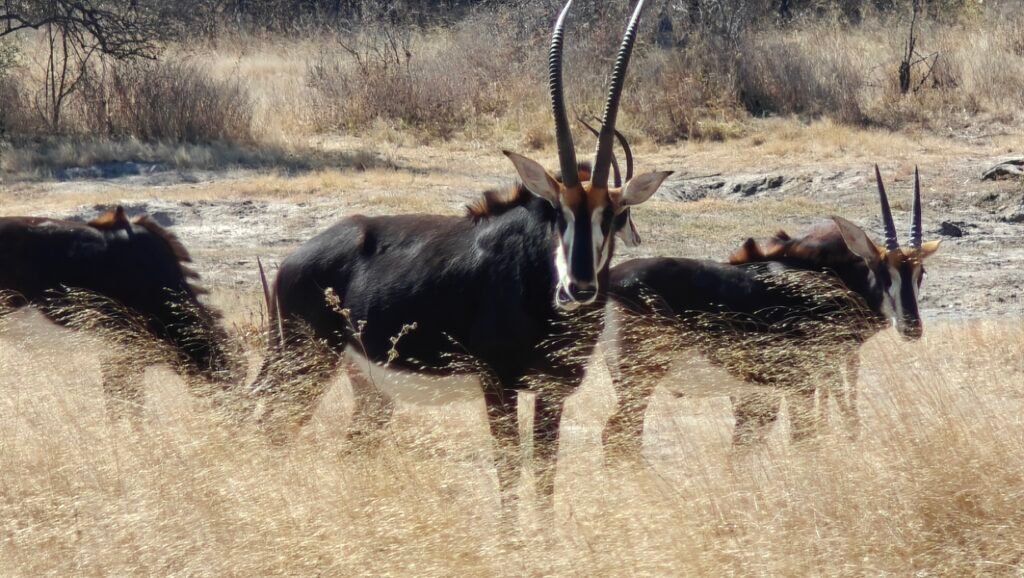
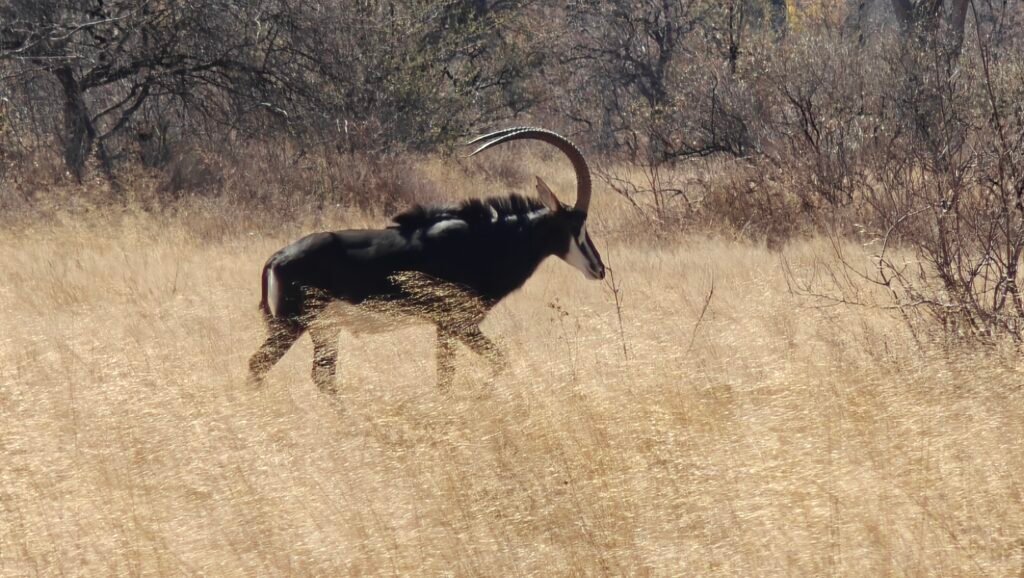
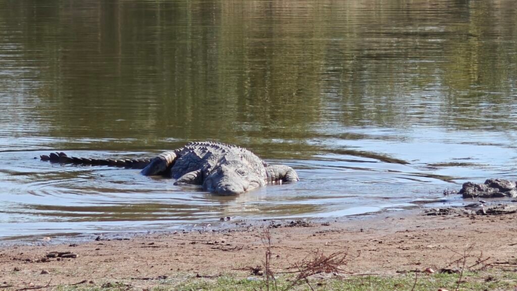
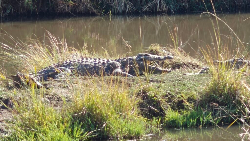
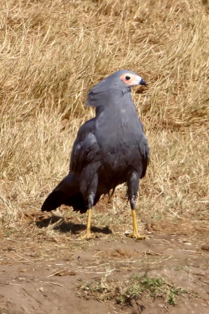
As far as wildlife goes, at every turn of the head I had animals of all kinds (see photo gallery below), with the exception of the large predators (i.e., no lions, leopards, cheetahs, or wild dogs), although there may have been hyenas. Indeed, the absence of these large predators partially or largely explains the abundance of the large herbivors. However, the highlight of my visit, and indeed the desired culmination of this years African journey was a great sighting of the beautiful Sable antelope and, finally and ultimately, a close-up encounter with prehistoric looking White Rhino, which I failed to see in any of the other Parks along the way this year:
Sable antelope in Mokala National ParkSable antelope at Mokala National ParkWhite rhino at Mokala National ParkWhite rhino at Mokala National ParkWhite rhino at Mokala National ParkWhite rhino at Mokala National ParkWhie rhino at Mokala National Park
OK, I am off to Cape Town to prep the Green Dragon for another several months in storage. There will be nothing of interest to report on during these last several days, so sadly this will be my last post for this, my fourth, year of overlanding Africa. Thanks for following along and keeping me motivated to continue this blog.
After my delightful two weeks of solitary safari in remote Gonarezhou National in Zimbabwe and a short excursion into Mozambique, I made it back to South Africa and entered Kruger National Park in the very northeastern corner of the country.
This was my second extended visit to Kruger, my first being in 2023 as I made my way north from Cape Town to Nairobi, Kenya. In that previous journey, I spent several days in the southern and central sections of Kruger before exiting and heading into Botswana. This year, however, I entered the Park at its northern terminus, where the countries of South Africa, Mozambique and Zimbabwe meet along the Limpopo River, and then slowly worked my way south.
In my 2023 blog, I posted 4 separate entries for my visit to Kruger and covered a lot of material in those posts that would be hard to cover again, and be redundant, so I will refer you to those posts for more information and travelog descriptions, and some great photos and, especially, videos.
Briefly, Kruger National Park is the iconic flagship Park of the South African Parks system and by far the most famous and visited of Parks in all of southern Africa. In part, this is because it is in South Africa close to Johannesburg and thus very accessible to the locals and international tourists alike. But its popularity is also because it is a huge Park at 7,576 square miles (the largest in South Africa and 6th largest in all of Africa) encompassing a diversity of environments and habitats for a diverse array of flora and fauna, inclulding all of the famous megafauna of the region. Its diversity, in part, stems from the fact that the Park extends 220 miles north to south along a strong climatic and thus environmental gradient, as well as 40 miles east to west from the summit of the Lebombo Mountains on the border with Mozambique across a gradient of basalt and granitic soils that support different vegetation communities, including changes in the all-important grasses for the grazing animals. The result of these strong environmental gradients is that Kruger supports a wide range of habitats for an exceptional array wildlife. Traveling North to South and East to West through the Park, as I did this year, almost guarentees you will see just about all of the classic southern African wildife. For a more detailed overview of Kruger, check out my first Kruger post from 2023:
Kruger, from my perspective, is a Park of strong contrasts. The contrasting environments is evident, but even more striking is the contrast between the wild African bush juxtaposed to the very modern built infrastructure, most notably the so-called “rest camps”. Indeed, camping in Kruger is as unlike camping in Gonarezhou, Chobe, Moremi or the Central Kalahari as you can get. Not only are the main roads paved, but the Rest Camps are little cities within the Park, and they come with every sort of comfort and convenience, including restaurants, food markets, fuel stations, laundry, spas, chalets/cottages of all levels of luxury, and crowded campsites. I won’t say more here, nor will I show any photos of my Kruger campsites (because I couldn’t bring myself to photograph them), but I will refer you to my Kruger Cities post from 2023, in case you want to hear more about camping in Kruger. Suffice it to say that one moment you are watching elephants or leopards and then moments later you are filling your vehicle with fuel and stopping at the shop for a cold drink (or dark chocolate bar) – crazy. Among the vast number of tourists there are hard-core overlanders and kitted out rigs, like me and mine, driving next to small sedans – crazy:
While Kruger may not have the greatest wild and wilderness feel to it, one thing is does have is lots of wildlife to see. In Kruger, you don’t have to work very hard to see most of the wildlife. This is for two major reasons. First, the Park is large and productive and supports lots of wildlife with big populations that have been protected for a long time, making the chances of seeing any particular species relatively high. Second, there are lots and lots of people on safari in the Park, including lots and lots of safari guides carrying loads of tourists. Consequently, it is hard to find a private drive and only rarely do you get to see the megafaunal species without one or more, often many, other vehicles showing up immediately to share the sighting. That being said, I did manage a few relatively private drives and wildlife viewings by traveling the gravel loop roads off the main thoroughfare. On the flip side, the crowds means there are thousands of eys looking for the harder-to-see species, such as the predators, dramatically increasing your chances of benefiting from someone else spotting that hard-to-see leopard or cheetah. SO, you get to see lots of wildlife, but its rare to have intimate viewings. That being said, in 2023 I had lots of amazing sightings and described some of them detail and included some cool videos in that post. In particular, there is a great 8 minute video of my private viewing of wild dogs in the Kruger Highlights post below:
As for this year’s Kruger journey. This year, I intended to spend a full 11 nights in Kruger at 5 different Rest Camps, moving from the northern extreme to the southern extreme 2 (or 3) nights at a time, giving me the opportunity to really experience the full breadth of the Park’s diversity. Unfortunately, due to an ugent need to replace the Green Dragon’s transfer case (a.k.a., transmission) because of a failed bearing in the transmission which started causing serious issues that I did not want to ignore, I had to cut my stay off by 1 night at my southern most Rest Camp (Berg en Dal) – better safe than sorry, right! What is truly amazing is that despite the transmission inside the transfer case being badly damaged, including having no transmission fluid left in the transfer case due to a crack in the housing caused by the exploding bearing, the Green Dragon kept on driving for hundreds of kilometers – only a land cruiser troopie could keep on trucking with that level of internal damage!
Nevertheless, 10 nights gave me plenty of time to see almost all the megafauna and lots of the smaller creatures, including a wide variety of bird species. The only magafauna I missed, regrettably, was the Rhino (white and/or black), as they were most likely to be found around my last Rest Camp which I did not have a lot of time to explore because of the diversion to the Toyota service center. Because I took so many photos (and some videos), rather than try to present my trip chronologically with photos and descriptions, as I did with Gonarezhou, instead, I created a slideshow. This slideshow is a pictorial journey through the Park from north to south, as I experienced it, minus pictures of the Rest Camps. Note, I included many of photos of the same species, such as elephants, as they were representing the Park as I moved along, and of course there were many of the smaller species not represented in these photos. Enjoy!
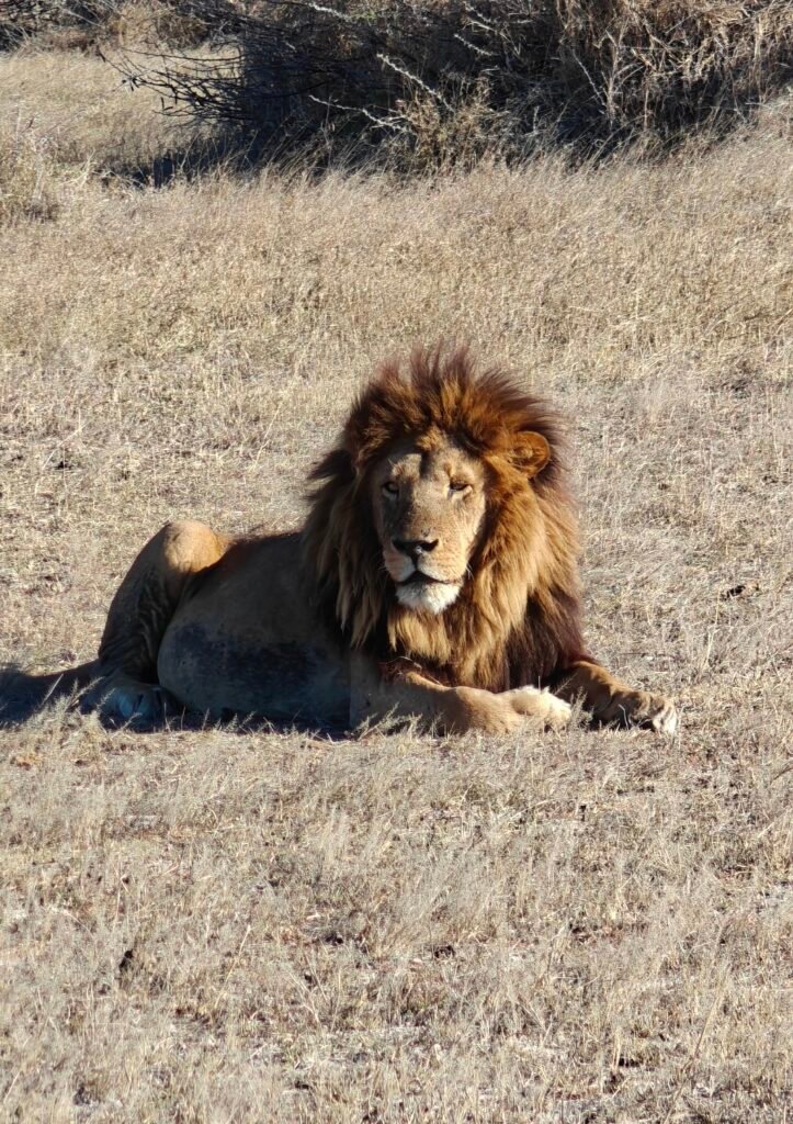
And for those that like cats and dogs, here’s a 10 minute composite video of some lion, cheetah, leopard and wild dog sightings:
Ok, that’s all for Kruger. My next and last destination is Mokala National Park (a new Park for me) en route back to Cape Town. See you there!
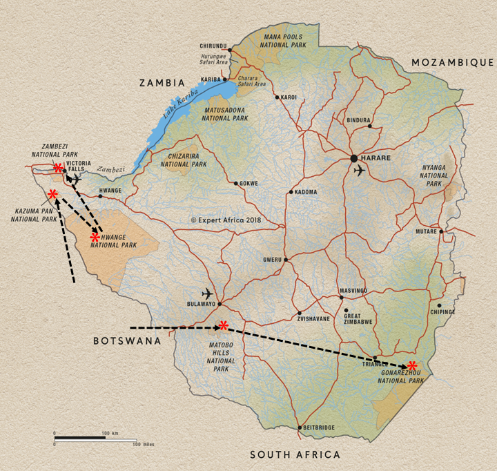
After my long journey across Zimbabwe from west to east, with a brief stopover at Matobo National Park and a couple of nights at a lodge in the town of Chiredzi for R&R, I made it to my ultimate destination of Gonarezhou National Park in the southeast corner of the state bordering Mozambique and (almost) South Africa:
Before going any further, I want to warn you that this is an exceptionally long post, mainly due to all the photos, but mostly because it was 12 nights long in an amazing Park. SO, this post read in its entirety is probably only for the most dedicated and interested followers. Also, after a brief introduction to the Park, I decided to organize this post chronologically with a brief description and several photos of each day/night in the Park. This way, you can travel along and see the Park as I did. Lastly, it’s worth noting that the three most distinctive and memorable aspects of this Park were: 1) the almost complete solitude (I probably only saw 12 other parties in 12 days); 2) the striking landscape features, foremost being the Chilojo Cliffs and the mighty rivers; and 3) the incredible campsites. The wildlife sightings were hard earned; still great, but nothing compared to some of the other visited Parks.
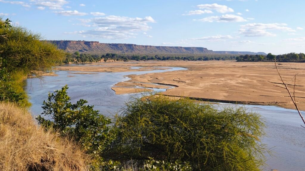
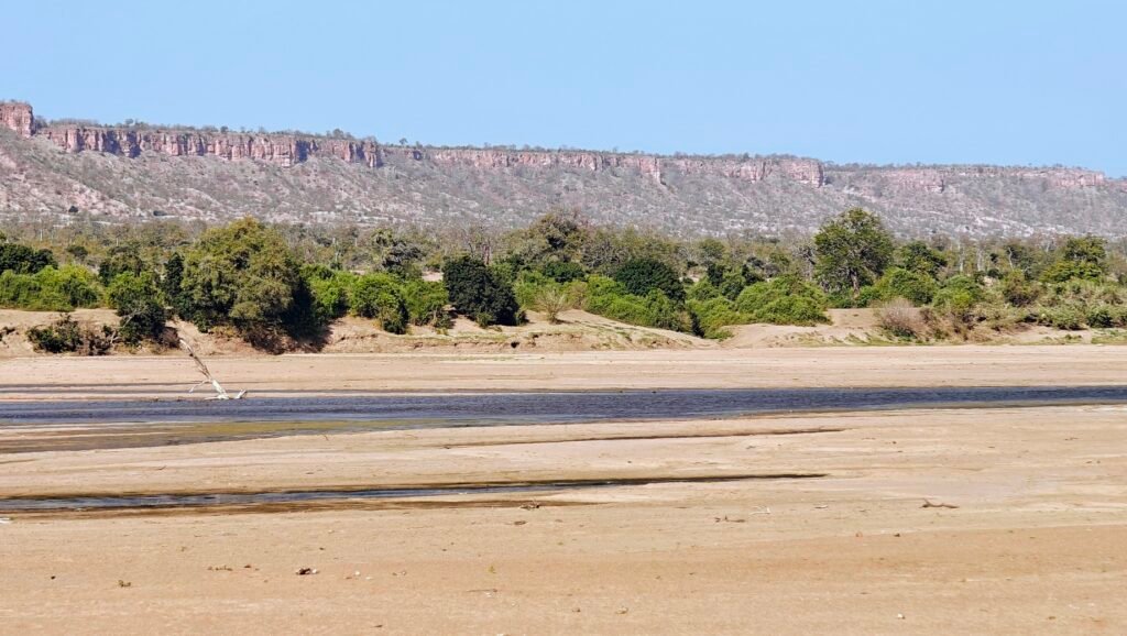
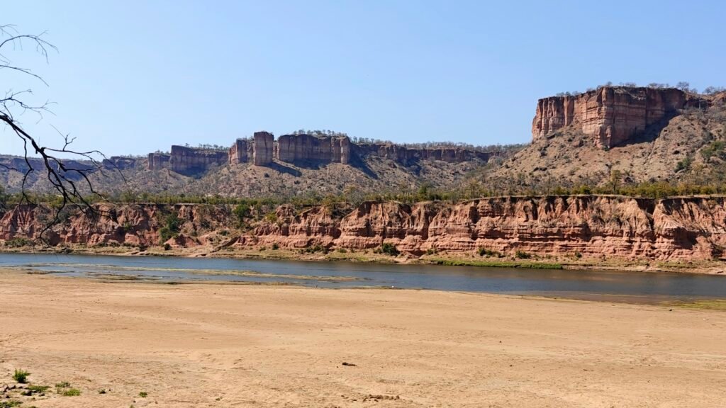
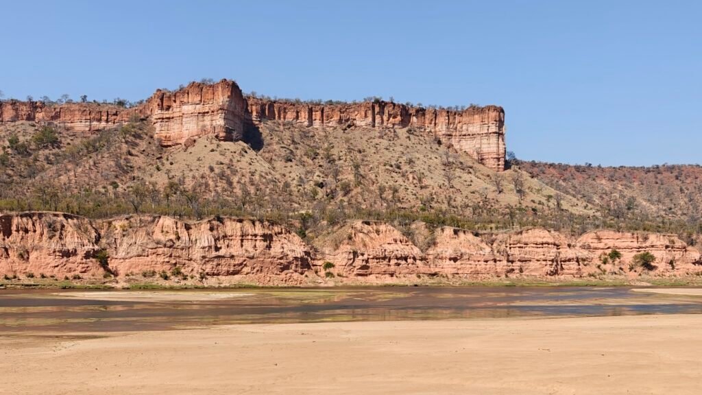
Gonarezhou (a.k.a. “The Place of Elephants” in the local Shona tongue) is Zimbabwe’s second-largest National Park and one of its most famed wilderness areas. Based on my visit, the Park certainly lives up to its reputation, as I saw lots of elephants and almost no people, giving it a true wilderness feeling. Stretching over some 1.25 million acres, the Park is home to the iconic Chilojo Cliffs (see photos below), which are comprised of sandstone and rise up to 180 meters high and run 20 km along the south bank of the Runde River, where I camped for several nights (see below). Other key features include two large natural pans in the north of the Park, including one that I camped next to, a large Plateau in the central and southern areas of the Park, where I camped for a few nights at platforms overlooking waterholes, densely wooded hill slopes rising above sand beds in the Mwenezi River valley, where I camped for one night, and the Samalema Gorge where the Mwenezi River carves through solid igneous rock-forming a braided river gorge, where I also camped (see below).
The Park has a somewhat storied history regarding wildlife conservation, especially pertaining to black rhinos. The Park was originally declared a Game Reserve in 1934, in part to protect the rapidly dwindling Black Rhino population, which soon went locally extinct by 1940. Rhinos were reintroduced in 1969, and then the Reserve was declared a National Park in 1975, only to see the rhinos go locally extinct once again by 1994 due to unchecked poaching. Finally, the Park teamed up with the Frankfort Zoological Society in 2007 and formed a formal Trust in 2017 to impose new and improved management. In 2021, the Trust reintroduced Black Rhinos once again, this time with much greater support for their conservation. With any hope, they will succeed. I was on the lookout for these rare and incredible creatures in the rhino conservation area of the Park (huge area enclosed by electric fence), but without success (other seeing their latreens). Besides the abundant elephants, it was clear that the Park’s megafauna is still in the early stages of recovery after being decimated by the war in nearby Mozambique and the decades of unchecked poaching. However, the habitat is there and with the proper management by the Trust, this Park has potential to support lots and lots of wildife and become one of the top Parks in southern Africa for a wildlife safari.
The Park is also part of the Greater LimpopoTransfrontier Park, consisting of Gonarezhou National Park in Zimbabwe, Limpopo National Park in Mozambique, and Kruger National Park in South Africa. Wildlife are free to move across borders between all three of these large Parks. Parks without international borders are a great benefit to wide-ranging species that follow ecological rules and not human political ones.
Night 1: Chipinda Pools
I entered the Park at a place called Chipinda Pools, which are a series of pools on the mighty Runde River, which is the major river bisecting the Park and separating the northern section of the Park from the Central and Southern sections.
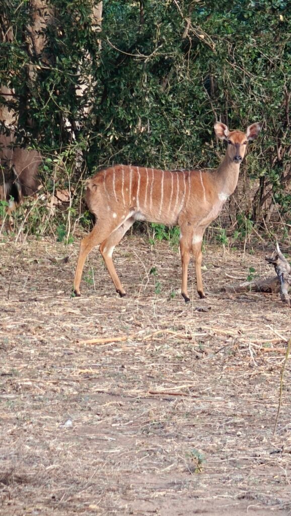
My campsite at Chipinda Pools on the Runde RiverChipinda Pools on the Runde River from my campsiteRunde River below Chipinda PoolsLooking back to Chipinda Pools on the Runde RiverCauseway above Chipinda Pools on the Runde River~8 foot crocodile in Chipinda PoolsThe beautiful Nyala buck in my campsiteSundowner from my Chipinda Pools campsite
Night 2: Chivilila Falls
Downriver from Chipinda Pools the Runde River drops rapidly through the basalt bedrock at a place called Chivilila Falls. My exclusive campsite was located just below the Falls in the rocky riverbottom.
My Chivilila Falls campsite on the Runde RiverLooking back at my Chivilila Falls campsite on the Runde RiverLooking back at my Chivilila Falls campsite on the Runde RiverUpper portion of Chivilila Falls on the Runde RiverBelow Chivilila Falls from my campsite on the Runde RiverBelow Chivilila Falls on the Runde RiverBull elephant en route to Chivilila Falls on the Runde RiverCow and calf elephant en route to Chivilila Falls on the Runde RiverBurchell’s zebras en route to Chivilila Falls on the Runde RiverWaterbuck en route to Chivilila Falls on the Runde RiverWaterbuck en route to Chivilila Falls on the Runde RiverWildebeest and Impala en route to Chivilila Falls on the Runde River
Night 3: Benji Weir Platform
Night 3 was spent at an exclusive campsite next to an elevated plaform perched high above a grassy valley leading into a small reservoir created by a dam (weir) in a drainage. This reservior was located in the central plateau area of the Park and surounded by miles of Mopane and mixed woodland. This was a spetacular platform setting for watching the elephants come and go, along with a few other species, and the platform had a thatched roof providing great shade during the midday sun.
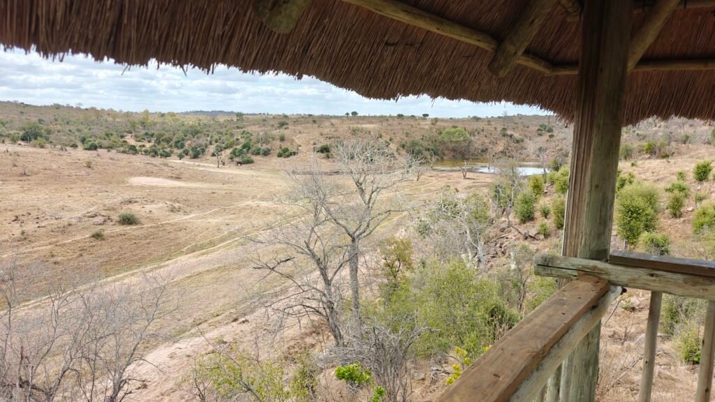
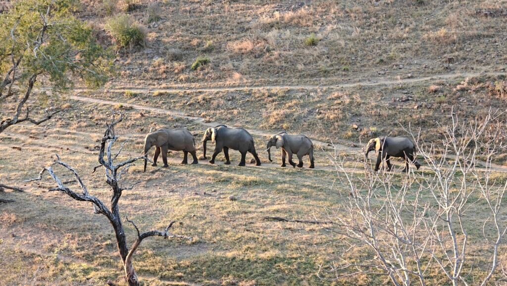
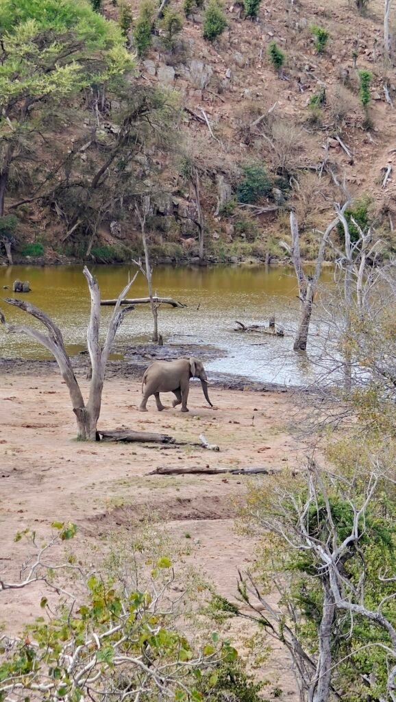
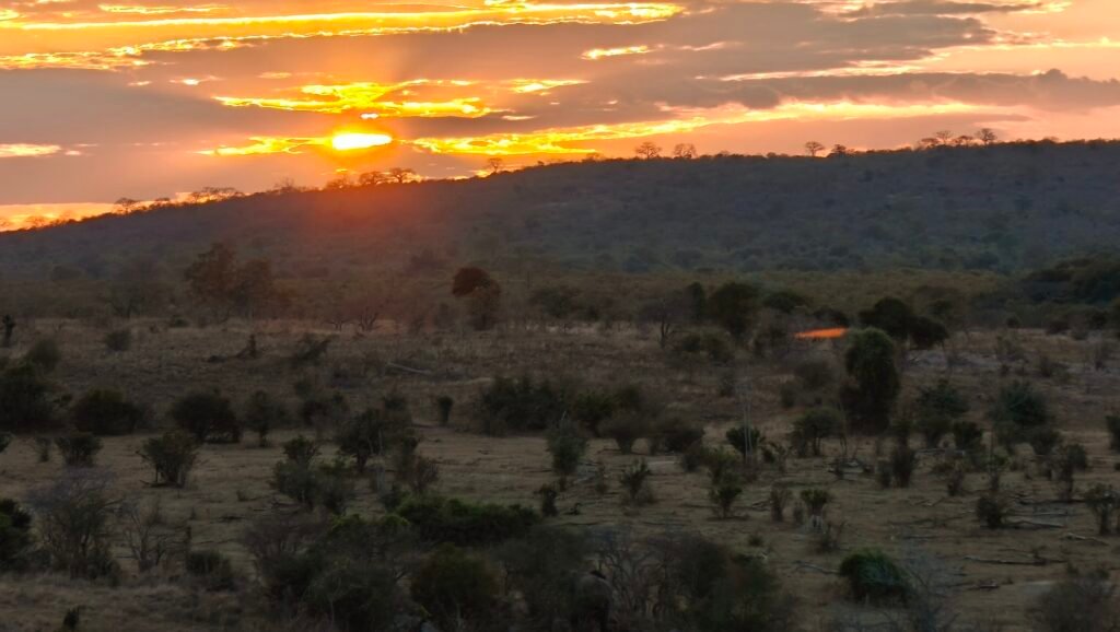
My campsite at Benji WeirView looking west from Benji Weir platformView looking east towards the reservoir at Benji WeirElephants on parade below Benji Weir platformElephants at the Benji Weir reservoir seen from the platformSundowner from Benji Weir platformMopane woodland en route to Benji Weir platform
Night 4: Fishans
After the awesome Benji Weir platform I headed back to the mighty Runde River valley to the exclusive Fishans campsite located just upriver from the spectacular Chilojo Cliffs. The campsite was nicely perched up on a bench in the floodplain overlooking the Runde River and covered with huge gallery trees for shade.
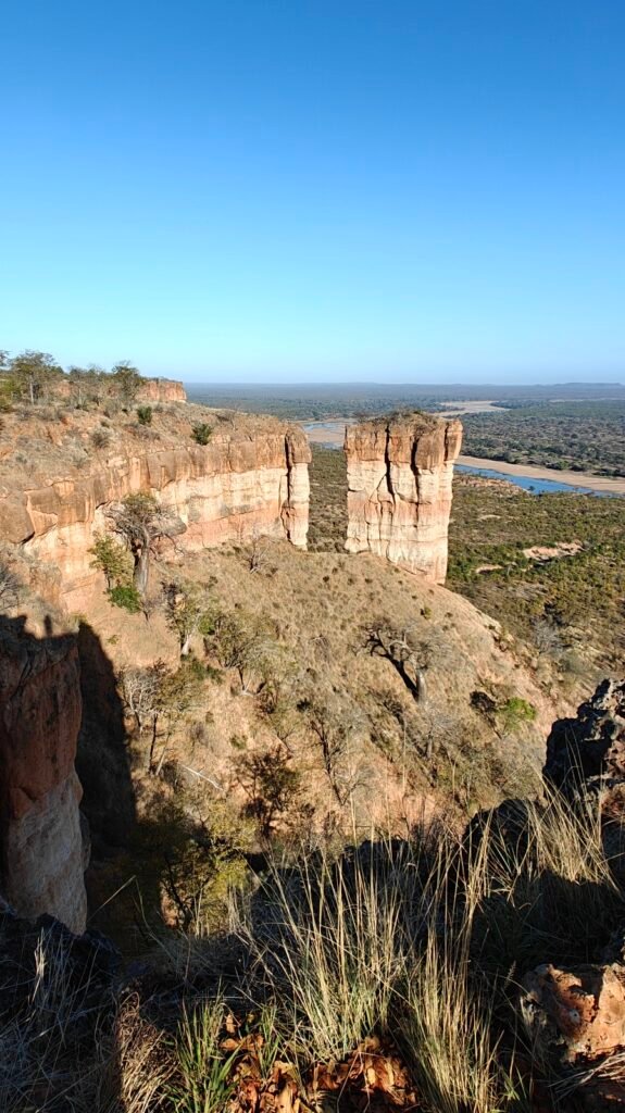
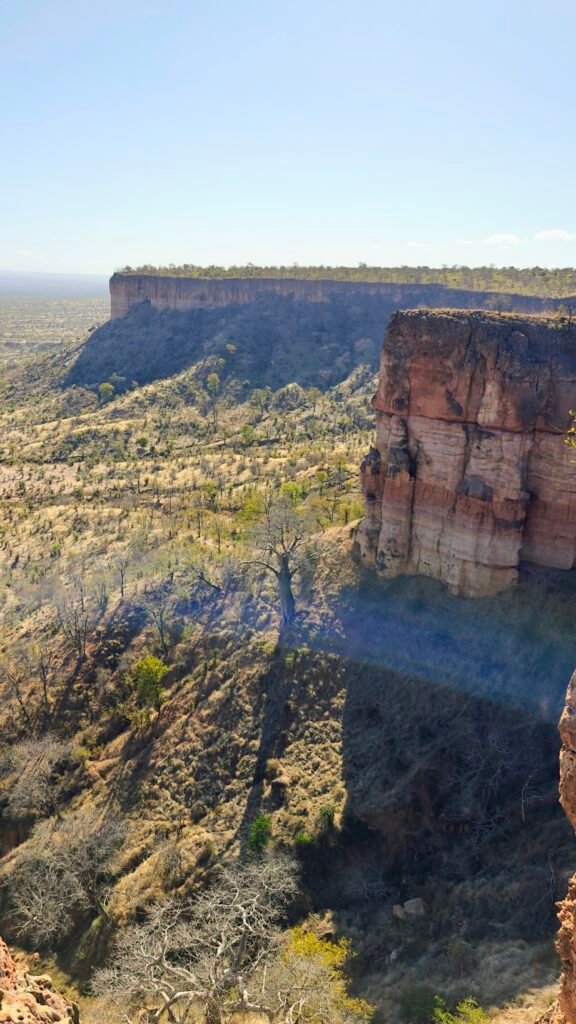
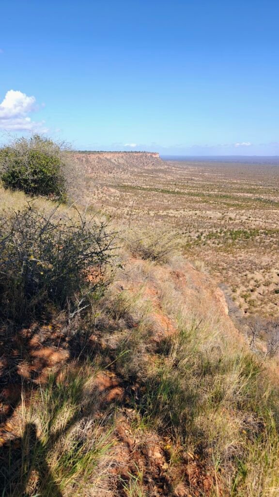
My Fishans campsite on the Runde RiverChilojo Cliffs from my Fishans campsite on the Runde RiverNyala buck in my Fishans campsite on the Runde RiverNyala doe in my Fishans campsite on the Runde RiverChilojo Cliffs from the top looking back torwards my Fishans campsite on the Runde RiverChilojo Cliffs from the top looking north along the escarpmentChilojo Cliffs escarpment from the topRunde River from the top of the Chilojo Cliffs
Nights 5-6: Bopomela
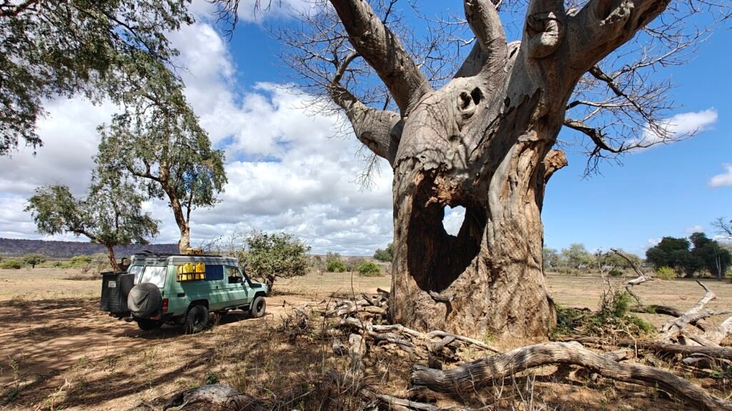
After standing atop the Chilojo Cliffs and enjoying the magnificant views of the Runde River valley, I went to another exclusive Runde Riverside campsite called Bopomela. Like the Fishans campsite, this one too was perched on the river bank high above the river on the major floodplain and with nice big shade trees.
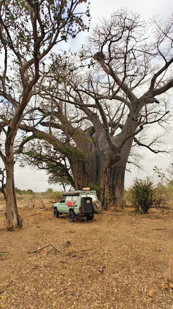
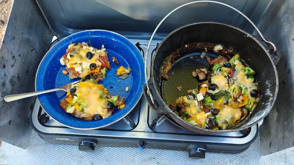
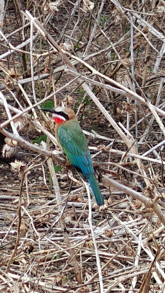
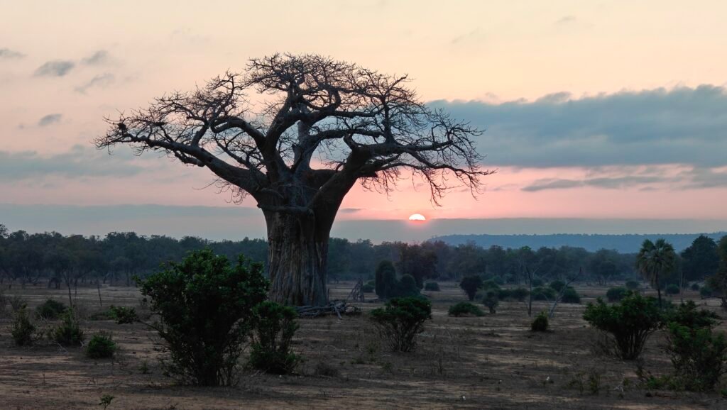
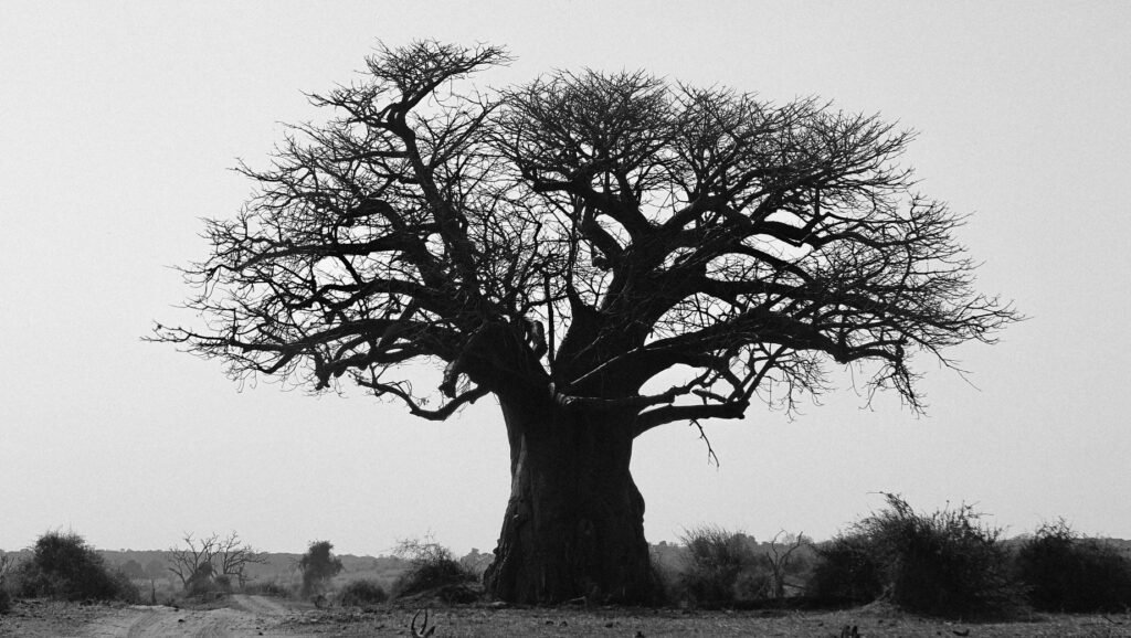
My Bopomela campsite on the Runde RiverView from my Bopomela campsite on the Runde River (with the Chilojo Cliffs in the background)Lots of big Baobab trees near Bopomela campsite, this one damaged badly by elephantsAncient Baobab tree near my Bopomela campsite on the Runde RiverMy “famous” kettle pizza made at my Bopomela campsite on the Runde RiverBeautiful white-fronted bee-eater at my Bopomela campsite in the Runde RiverFloodplain at my Bopomela campsite on the Runde RiverFriendly bull elephant (“Bo”) at my Bopomela campsite in the Runde RiverWildebeest near my Bopomela campsite on the Runde RiverSundowner at my Bopomela campsite on the Runde RiverAfter sunset elephant crossing the Runde River at my Bopomela campsite
Night 7: Machaniwa Pan
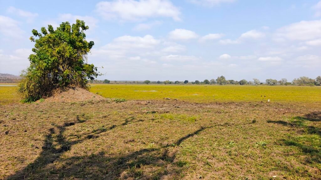
I continued downriver on the Runde to Machaniwa Pan, a large flooded pan in the floodplain of the Runde River, half choked with emergent vegetation (hyacinths?) and hippos, elephants, waterbuck, …. and waterbirds of all kinds. My campsite was delightfully located right on the edge of the pan giving me a front row seat to all the wildlife action in the pan.
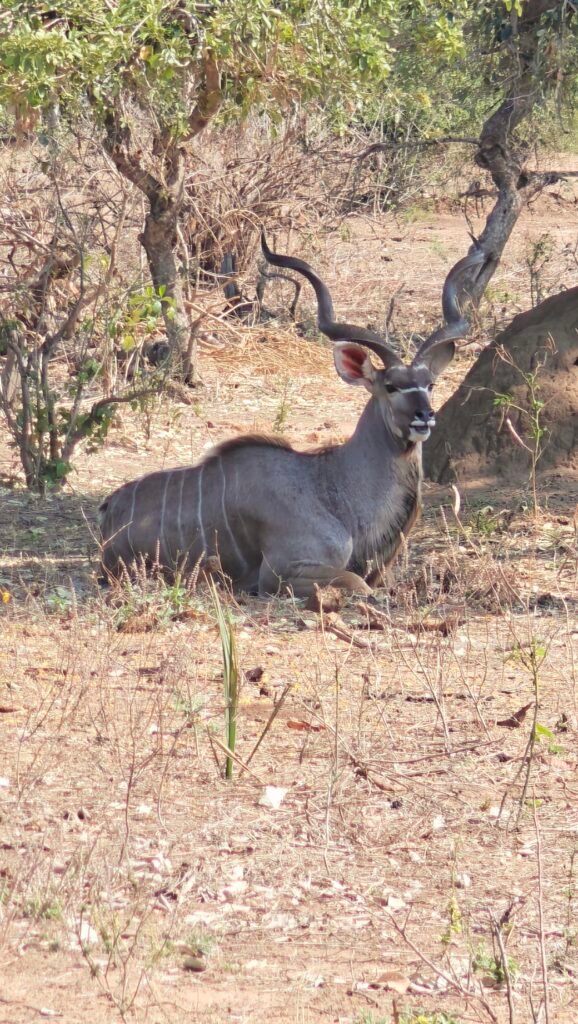
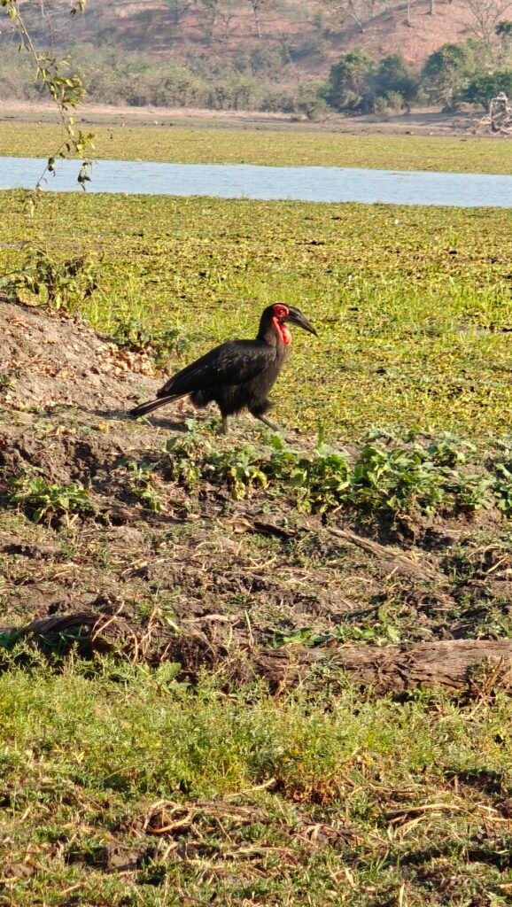
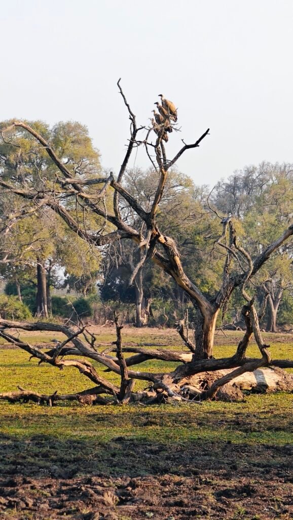
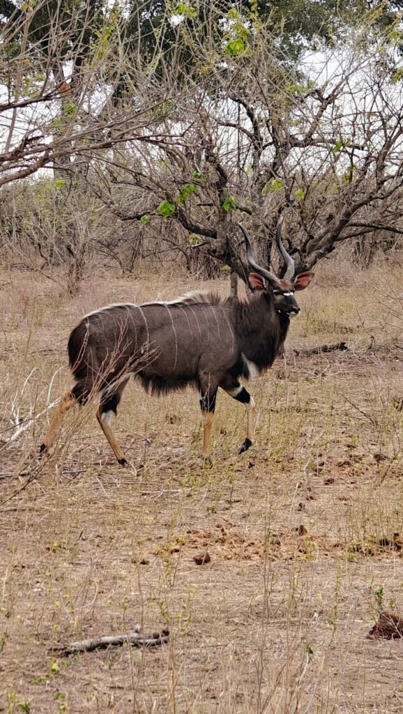
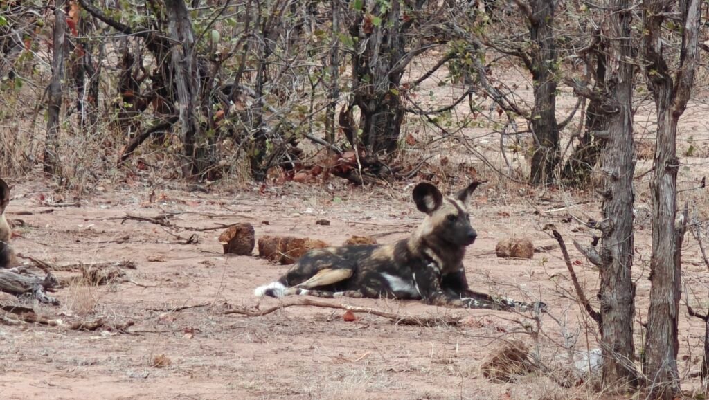
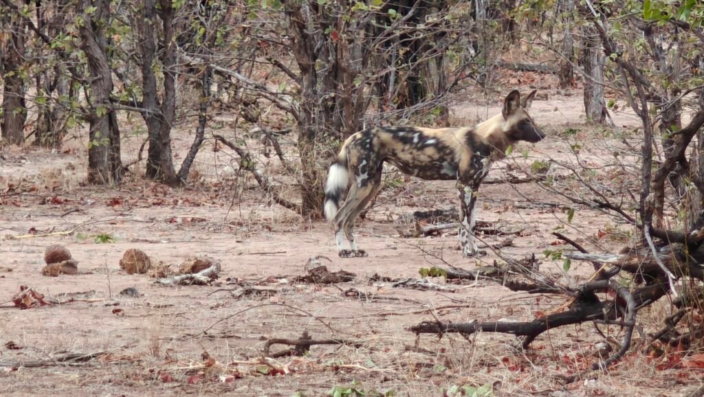
My campsite at Machaniwa PanElephant herd at Machaniwa pan seen from my campsiteHippos in Machaniwa Pan seen from my campsiteMachaniwa Pan from my campsiteMachaniwa Pan from my campsiteKudu bull near my Machaniwa Pan campsiteGround hornbill at my Machaniwa Pan campsiteWhite-back vultures at Machaniwa PanNyala buck near my Machaniwa Pan campsiteWild dog near Machaniwa PanWild dog near Machaniwa PanKudu bull near Machaniwa PanSundowner at my Machaniwa Pan campsiteSunrise near Machaniwa Pan
Night 8: Chinguli
After the wonderful Machaniwa Pan I headed back up river, but on the opposite side of the River after a deepwater crossing (of video of this river crossing is embedded in the composite video at the end of this post), to another campsite on the Runde River. Along the way, I had more stunning views of the Chilojo Cliffs.
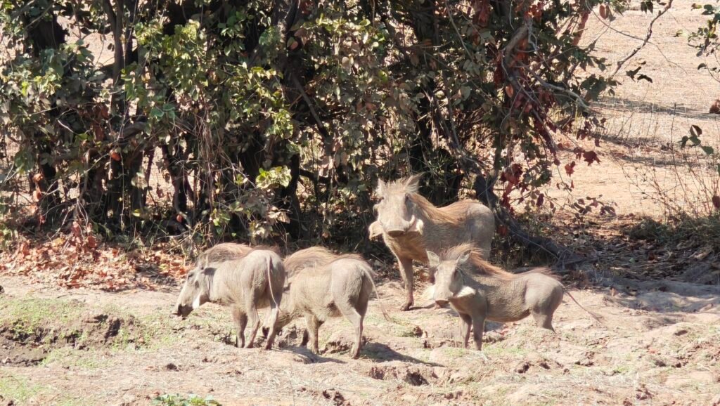
Chilojo Cliffs en route to Chiguli campsite on the Rund RiverChilojo Cliffs en route to my Chinguli campsite on the Runde RiverChilojo Cliffs en route to my Chinguli campsite on the Runde RiverMopane woodland cropped by elephants en route to Chinguli campsite on the Runde RiverUbiquitous herd of Impala en route to my Chinguli campsite on the Runde RiverBig Tusker elephant en route to my Chinguli campsite on the Runde RiverKudu road crossing en route to my Chinguli campsite on the Runde RiverWarthogs en route to my Chinguli campsite on the Runde RiverLow-water “causeway” across the Runde River below ChinguliMy campsite at Chinguli on the Runde RiverMy campsite at Chinguli on the Runde RiverView from my Chinguli campsite on the Runde RiverView from my Chinguli campsite on the Runde River
Night 9: Malugwe Platform
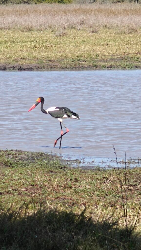
After Chinguli, I left the Runde River for the last time and headed south to the central section of the Park and a couple of exclusive Platform campsites at water-filled pans. My first stop, after traveling some distance through extensive Mopane Woodland and another form of mixed woodland called Gibortia, was at Malugwe Platform. This was another delightful setting in the middle of nowhere, with my only company being a lone saddle-billed stork, a couple of hammerkops, and several elephant herds after sunset.
Mt platform campsite at Malugwe PanSunrise view from Malugwe Pan campsiteView from my campsite at Malugwe PanBull elephant at Malugwe Pan from my campsiteSaddle-billed stork at Malugwe Pan from my campsiteElephant herd at Malugwe Pan from my campsiteHammerkop at my Malugwe Pan campsiteMixed Gibortia woodland en route to Malugwe PanMopane woodland en route to Malugwe Pan
Night 10: Gorwe Platform
For my last exclusive Platform campsite I moved farther south in the Park, again, in the middle of nowhere, to another Pan called Gorwe. This too was a delightful site and supported more animals than Malugwe, but only close to sunset and after dark.
Zebra and baboons at Gorwe Pan from my campsiteMy campsite at Gorwe PanView of Gorwe Pan from the platformView of Gorwe Pan from the platformMixed Gibortia woodland en route to Gorwe Pan
Night 11: Nyavasikana
My next stop was at the souhern end of the Park on the Mwenezi River at another riverside exclusive campsite called Nyavasikana. The Mwenezi River is another large river like the Runde but situated more in a steep-sided valley with heavily wooded slopes. I didn’t see much wildlife in this section of the Park but the campsites were in awesome scenic settings.
My campsite at Hyavasikana on the Mwenezi RiverMwenezi River near Nyavasikana campsiteGorge on the Mwenezi River near NyavasikanaMwenezi River at NyavasikanaView of Mwenezi River valley from my Nyavasikana campsiteView of Mwenezi River at my Nyavasikana campsite
Night 12: Rossi Pools
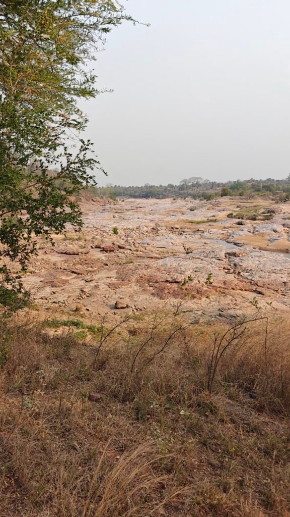
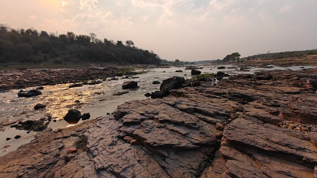
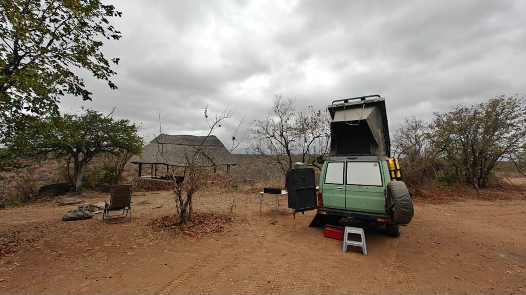
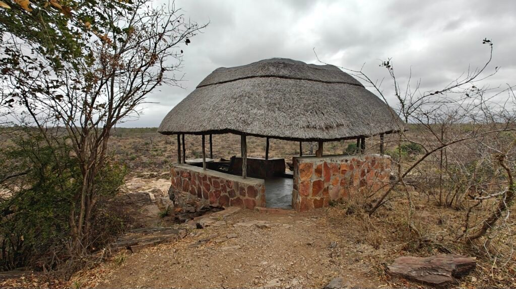
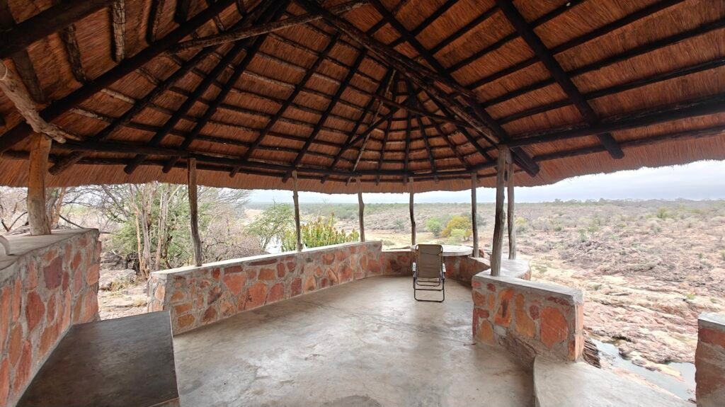
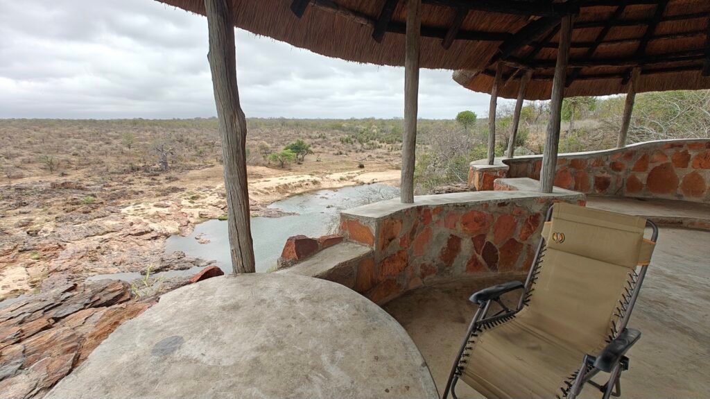
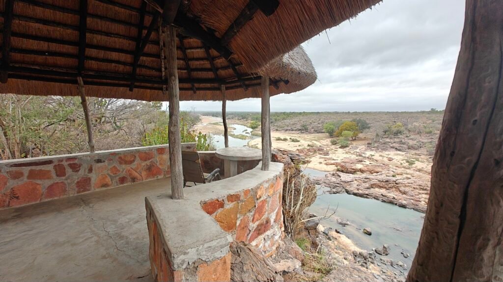
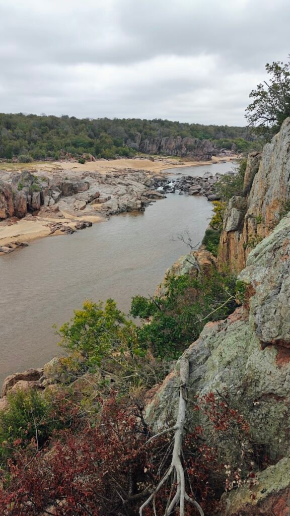
My last night in the Park was at a splendid location on the Mwenezi River called Rossi Pools. My campsite was perched high up on a rocky cliff overlooking the river and included a luxury rock structure for viewing. Unfortunately, there was not much wildlife to see here and the weather was actually cloudy and atypically a little rainy, so couldn’t enjoy the setting as much as it deserved.
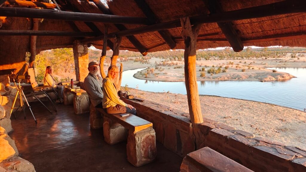
My Rossi Pools campsite on the Mwenezi RiverViewing structure at my Rossi Pools campsite on the Mwenezi RiverInside the rock viewing structure at my Rossi Pools campsite on the Mwenezi RiverView from viewing structure at my Rossi Pools campsite on the Mwenezi RiverView from viewing structure at my Rossi Pools campsite on the Mwenezi RiverMwenezi River at my Rossi Pools campsiteMwenezi River at my Rossi Pools campsiteCurious visitors near my Rossi Pools campsite on the Mwenezi River
Gonarezhou Video Composite:
The following video is 38 minutes long! That’s right, 38 minutes of late-night entertainment. It includes a hodge-podge of footage from my 12 day journey through the Park, including some of the interesting landscape features such as the Chilojo Cliffs, the Green Dragon doing a low-water crossing of the Runde River, and a bunch of wildlife sightings, including lots of elephants and other critters from my campsites and even a short snippet of wild dogs. Again, as with the rest of this post, I merged the video snippets in chronological order as I filmed them:
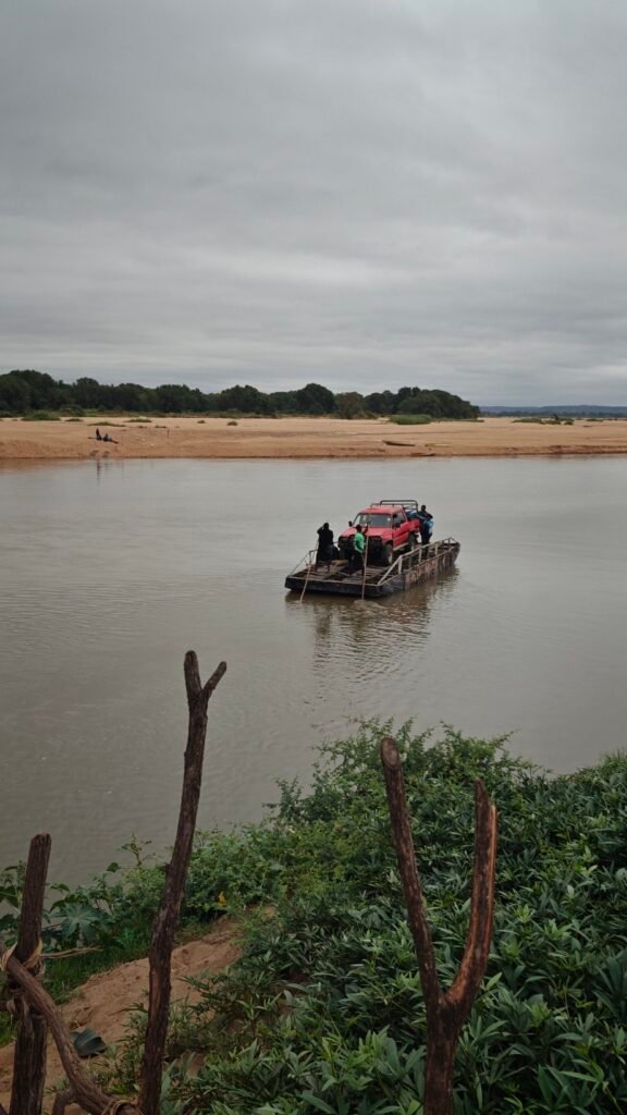
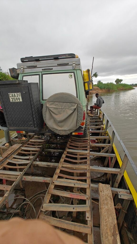
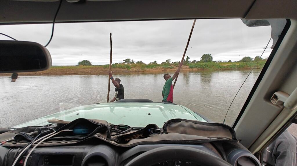
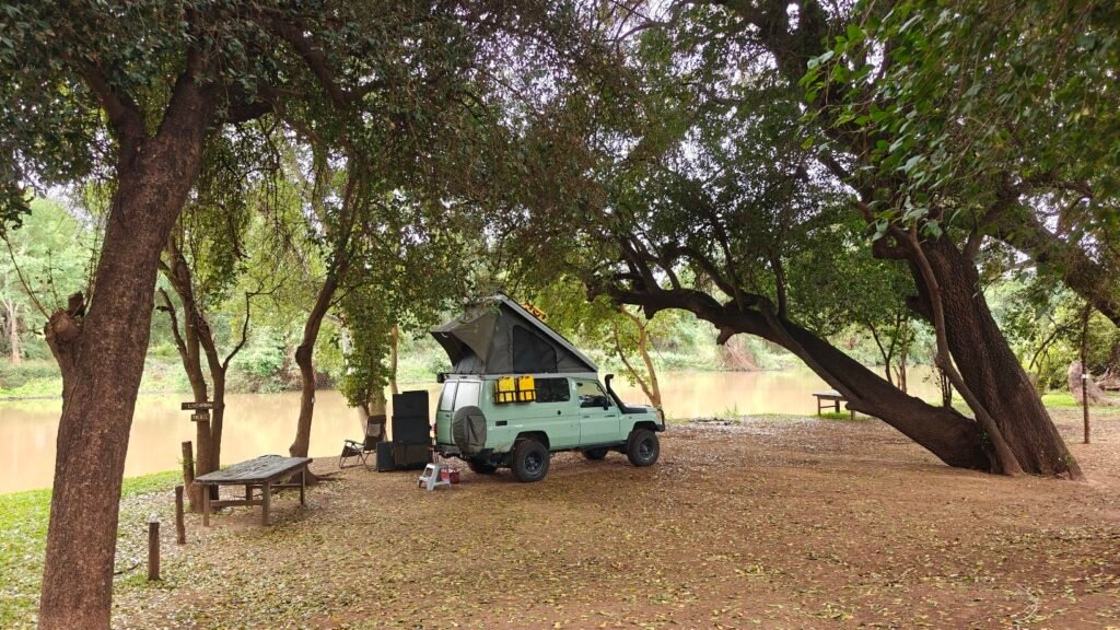
Epilogue: OK, if somehow you are still reading this, my next stop was a brief two-night stay in Mozambique at a camp on the mighty Limpopo River and then on to Kruger National Park in South Africa. However, to get to the camp and on to Kruger I had to get across the mighty Limpopo River. This year, because of all the precipitation and subsequent flooding, the river was too high for a low-water crossing, so I had to find a ferry for the crossing. This is what my ferry crossing looked like and my ultimate campsite destination.
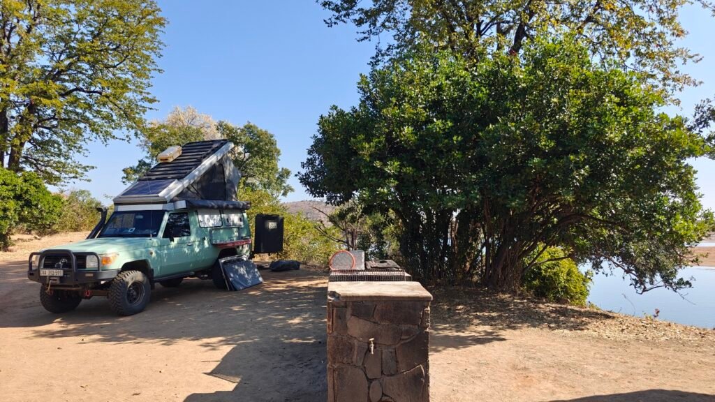
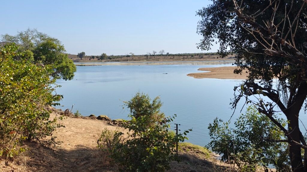
The Limpopo River ferry (but not with the Green Dragon on it, yet)The Green Dragon on the Limpopo River ferryPolling the Green Dragon on the ferry across the Limpopo RiverMy campsite at Dumela Wilderness Safari camp on a side lagoon of the Limpopo River
After leaving Moremi Game Reserve in the Okavango Delta, we headed back to Maun for Nancy, Frank and Jane’s last hurrah before they headed home.
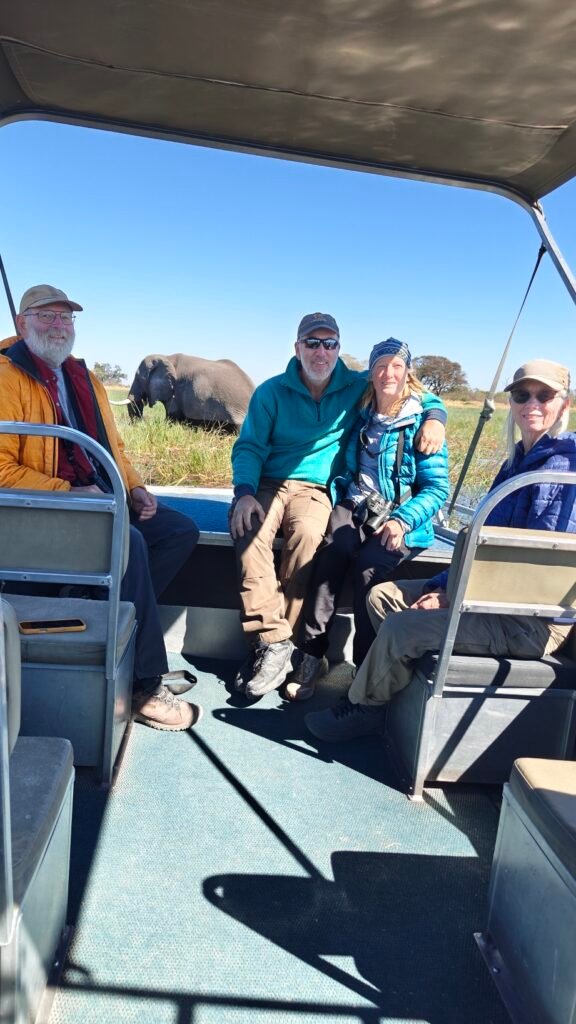
For their last hurrah, we took a 5 hour motorboat ride up the Doro River into the Delta from our Island Safari Lodge and Campsite in Maun. This was a delightful way to see the Delta one last time, but this time from the water instead of from land.
Okavango Delta boatride from Maun
The boatride was fast-moving and twisty-turny, that at times felt more like a theme-park ride than a wildlife excursion – something I think Sylvan would have loved, as I suspect he would have been sitting up front with his head over the bow and a big smile on his face ! Here’s a short 90 video to give you a taste:
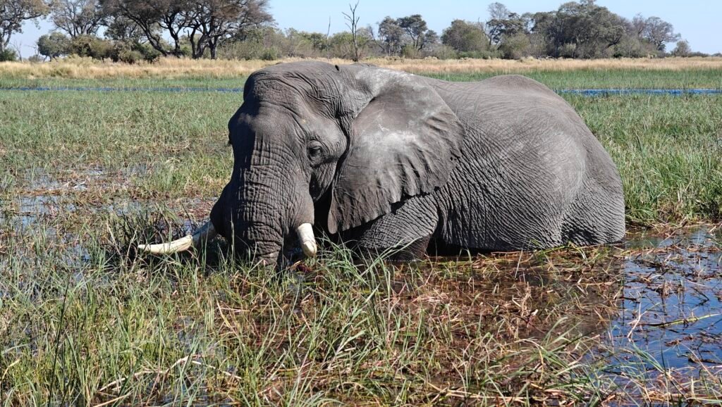
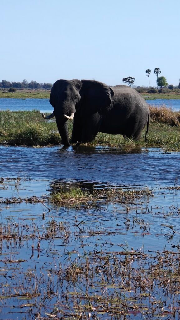
Of course, the boatride wasn’t all speed and thrills; we did see some wildlife along the way. Most impressive were the big bull elephants foraging in the marsh:
Bull elephant on the Doro River in the Okavango Delta
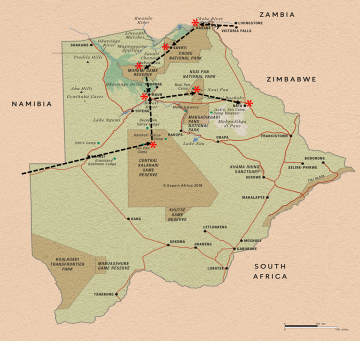
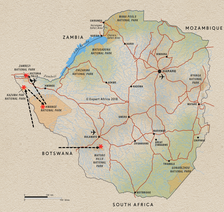
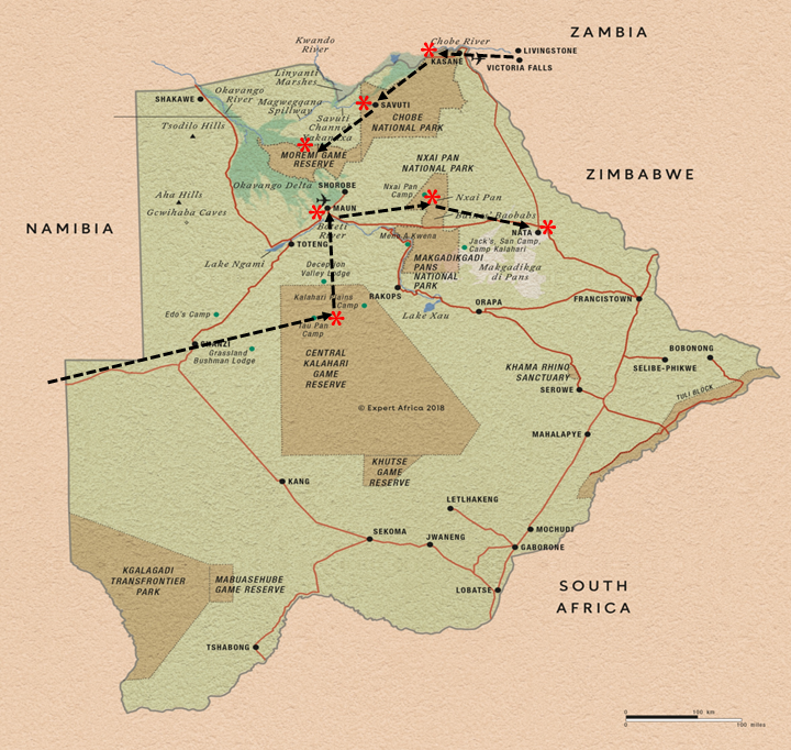
After sending Nancy, Frank and Jane on their way, I took to the road solo and headed east to Zimbabwe, with a one-night stand at the Nata Sanctuary campground in Botswana before crossing into Zimbabwe and on to Motobo Hills located just south of Bulawayo:
Matobo Hills and the Matobo National Park was merely a convenient stopover from me en route to my destination, Gonarezhou National Park, in the southeast corner of Zimbabwe, but it looked online to be an interesting Park itself and thus worth a couple of nights stay.
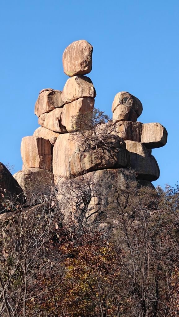
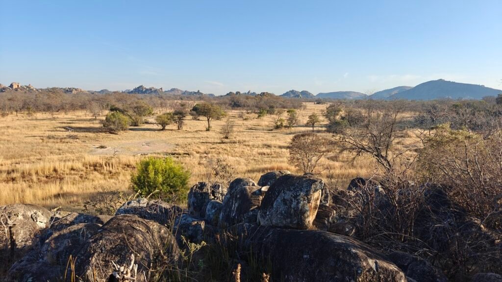
Briefly, Matobo National Park, established in 1926 and located just south of Bulawayo, is Zimbabwe’s oldest National Park and is also referred to as Rhodes Matobo National Park after the bequest of Cecil Rhodes, the original head of the British South Africa Company and founder of the southern African territory of Rhodesia (now Zimbabwe and Zambia). The Park, at 121 square miles, forms the core of the 1,200 square miles Matobo Hills, which are 2.5+ billion (yes, that’s Billion with a “B”) year old granite koppies (or kopjes) and wooded valleys. As with all granite, the hills were formed when magma was being forced to the near surface; it has since eroded to produce smooth “whalebacks” and broken kopjes, strewn with boulders and interspersed with thickets of vegetation, as shown in the photos below:
Balancing rocks at Matob0 HillsGrassland valley in Matobo HillsKoppie at Matobo HillsWhaleback koppies at Matobo HillsReservior and rock formations at Matobo HillsRock formations at Matobo HillsWhaleback and rocky slopes at Matobo Hills
Visiting Matobo National Park was a mixed bag. The Park is mostly in a state of complete neglect. The roads are washed out all over the place; most of which are impassable now, and the facilities are all run down and unmaintained. Unfortunately, this is the sad state of affairs with many of the Parks in Zimbabwe that don’t top the international tourist destination list. This Park is mainly visited by the locals, so it doesn’t get any attention or money from the government. Consequently, after a road or structure gets built – usually because of a nonprofit donation – it slowly degrades without any maintenance until it eventually becomes a hazard.
The campsites were no exception. My first site was at a remote reservoir, which I was directed to by the Park staff at the entrance gate. The “campground” had no working ablutions, just an overgrown structure inhabited mainly by rodents and bats, and a handful of overgrown campsites. In fact, there was no evidence of any recent use by anyone, including the Park staff! But it was at least a peaceful setting:
Campsite at Toghwana Dam in Matobo National Park
I opted to switched to a functional campsite for my second night and went to what was apparently the only functional campsite in the Park, despite several being listed online and on the maps. To my surprise and misfortune, it turned out that this site, at another reservior, also serves as a major party spot for the local communities, which abut the Park and are close by. Fortunately, the crowds and blarring music faded away by mid evening and left me with a reasonably peaceful lakeside campsite for the night:
Campsite at Maleme Dam in Matobo National Park
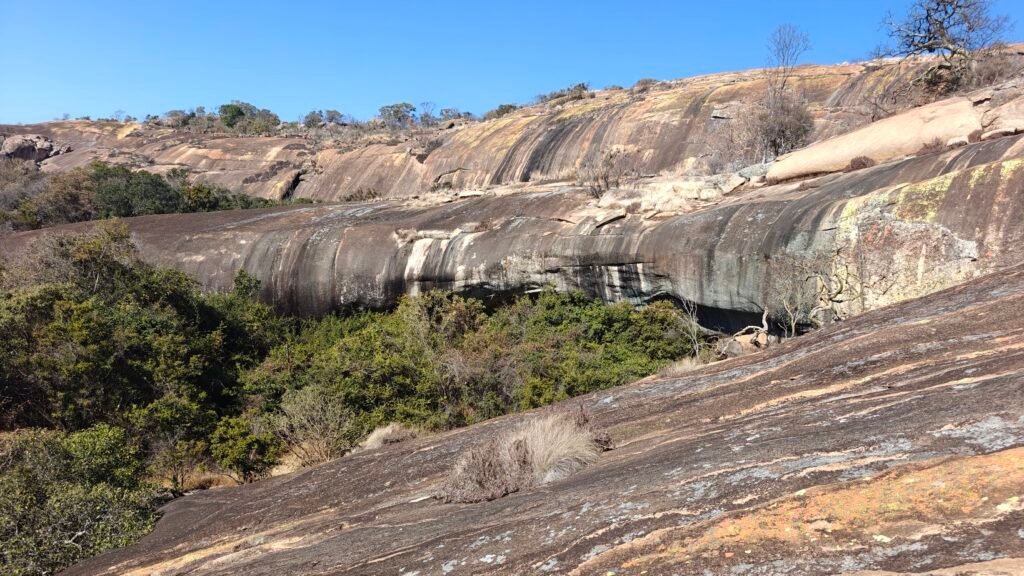
Matobo National Park is known primarily for two things: 1) a wilderness game park serving as a white and black rhino conservation area; and 2) the high density of ancient San (“bushman”) rock art panels in caves and outcroppings. I spent a couple of hours alone behind locked gates in the game park looking for rhinos but was skunked. However, I did mange to visit a few of the many caves in the Park with San rock art. The most spectacular one involved a 12 km hike across rocky hills and along a hard-to-follow and often overgrown trail through the bush up to a hidden cave high up on the face of a giant koppie. The cave with the rock art panel is behind the clump of trees on the face of the koppie in the middle of this picture:
Inanke Cave site in Matobo National Park
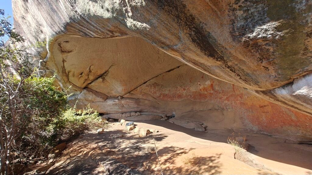
Here’s a closer look at this hidden cave:
Inanke Cave site in Matobo National Park
And an even closer look at the cave itself and the rock art panel:
Inanke Cave in Matobo National Park
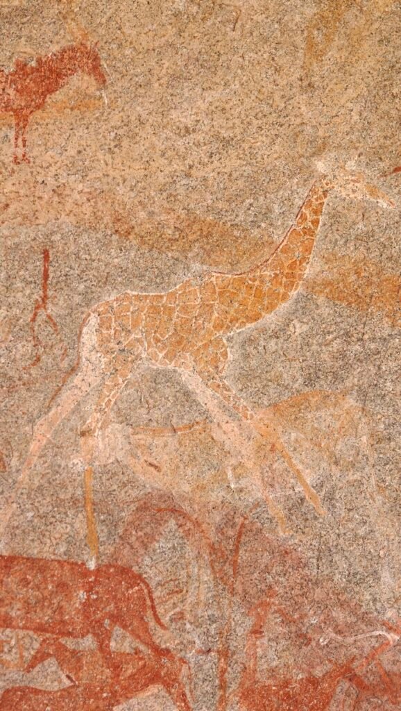
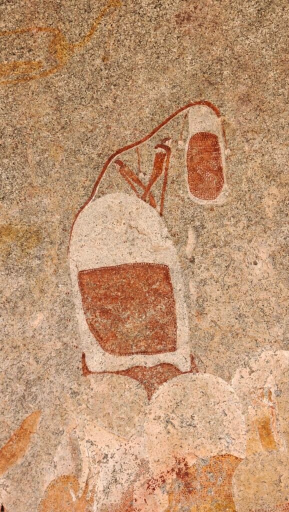
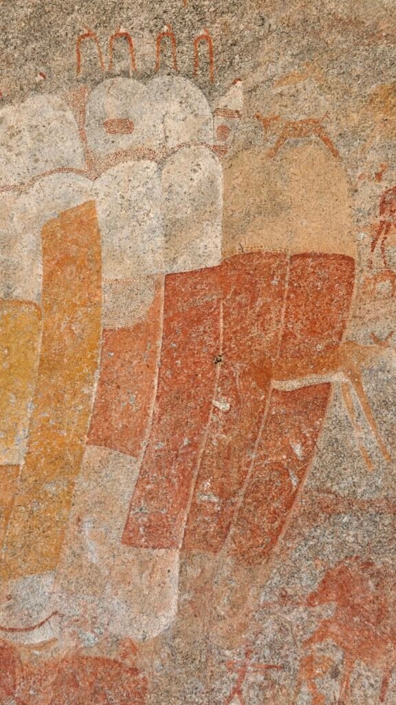
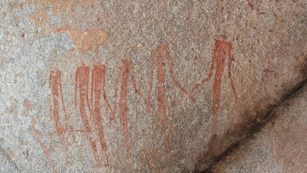
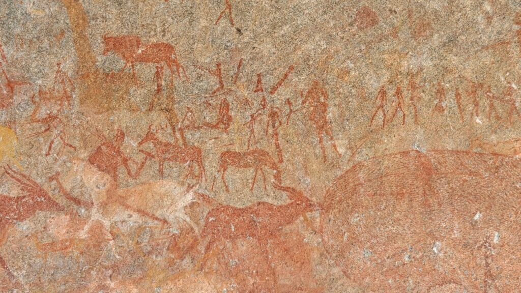
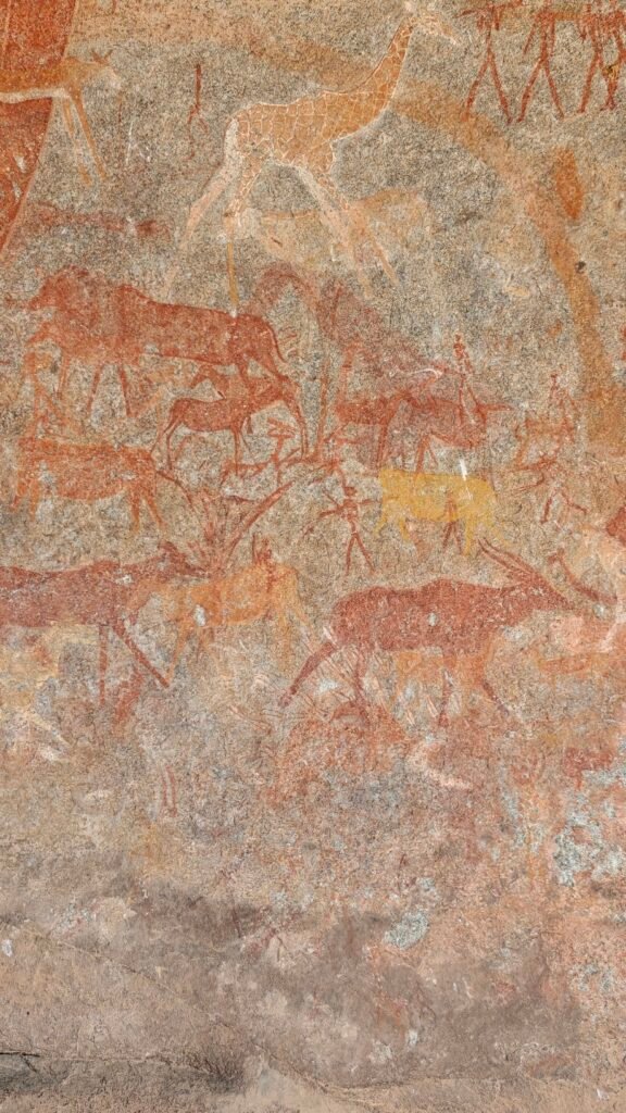
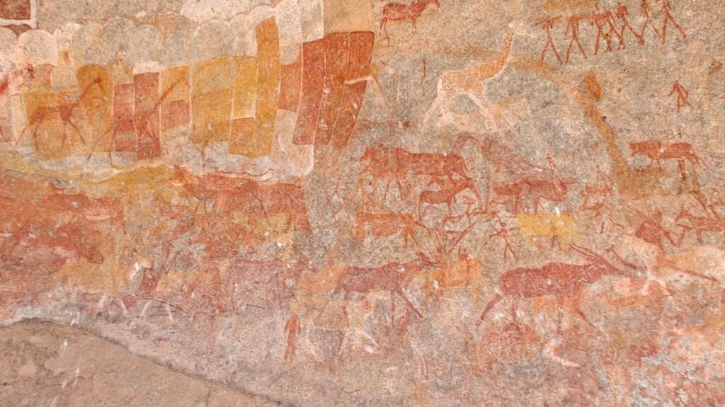
The rock art in the caves of Matobo Hills are estimated to be 2,000 plus years old and were painted over and over in layers over time by the San people, who you will recall by now were the first or original human inhabitants of southern Africa before they were displaced, assimilated, or annihilated by the expanding Bantu tribes from the north, which in the Matobo Hills area was roughly 500 years ago. The rock art panel in Inanke Cave that I hiked to was truly spectacular, and rivaled or exceeded anything I have seen of Anasazi rock art in the American Southwest. The panel itself is probably 40-50 feet long and several feet high and dense with numerous pictographs of all sorts (see if you can identify the representations) and often layered on top of each other, undoubtedly representing artwork laid down at multiple times in the past. Here’s a sampling of the rock art for you rock art enthusiasts (you know who you are!):
San rock art in Inanke Cave in Matobo National ParkSan rock art in Inanke Cave in Matobo National ParkSan rock art in Inanke Cave in Matobo National ParkSan rock art in Inanke Cave in Matobo National ParkSan rock art in Inanke Cave in Matobo National ParkSan rock art in Inanke Cave in Matobo National ParkSan rock art in Inanke Cave in Matobo National Park
OK, I am off to Gonarezhou National Park for an extended 10 night visit at a suite of exclusive campsites distributed throughout the Park. I am in a lodge/hotel in the town of Chiredzi for the night with Wifi, en route to the Park, so I am able to upload this post. However, I am pretty sure I won’t have any cell service or Wifi while I am in the Park, so you won’t be hearing from me for quite some time. Hope to see you on the other side!
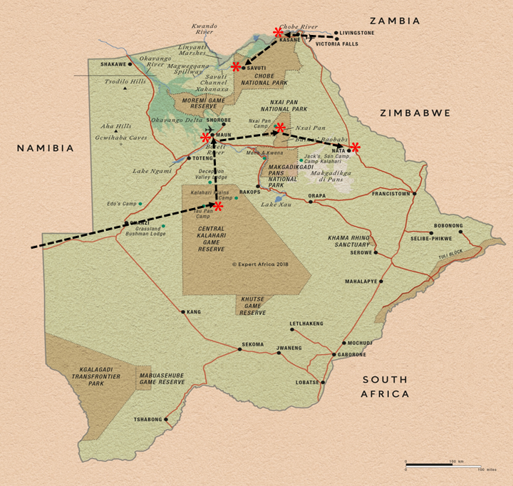
With great reluctance on my part, we left Savuti and headed to the ultimate wildlife destination in Africa – at least in my opinion – the Okavango Delta the Moremi Game Reserve:
I apologize up front for those that are more interested in short soundbites from our trip, but a 6 night visit to the Okavango Delta and Moremi Game Reserve defies brevity. SO, first of all, for those of you that want to really delve further into this part of Africa, I will refer you to my 2023 posts for much more detail on the Delta and the Reserve and lots of cool photos and videos:
Second, rather than present a blow-by-blow of our trip through the Delta, I am going to focus on just a few of the most distinguishing and memorable aspects of this year’s visit to the Delta, and then, of course, include a wildlife photo gallery.
Campsites and Sundowners:
We had, as always, some great campsites in the Delta and Moremi, 2 nights each at 3 different locations, and all adjacent to the extensive wetlands:
3rd Bridge campsite3rd Bridge campsiteXakanaxa campsiteKhwai River campsiteCampsite siestas afford us rest and time to read and review photos
In addition to the wonderful campsites themselves, we also had our share of fun campsite visitors which served to always keep us alert and ready for anything:
Bull Elephant feeding on Marula fruits in our Xakanaxa campsiteWarthogs scrounging for food in our Xakanaxa campsite
Lastly, we had some great sundowners, which increasingly became a ritual sunset activity for us – thanks to Mark and Kirsten for indoctrinating us to this ritual!
Okavango sundownerOkavango sundownerOkavango sundowner from the boatKhwai River sundownerOkavango sundownerOkavango sundowner
Roads and Flooding:
Perhaps the most exhilirating aspect of this 7 day journey through the Delta was navigating the high water and excessive flooding. In most years, the Delta reaches peak flood stage about the time we were here, in August. Recall that the hydrological dynamic of the Delta is quite unique. Rainfall in the Angola highlands during the long wet season (February-April) provides flood waters to the Okavango River (and others, such as the Chobe), but the gradient is so low that it takes several months for the water to make its way all the way down to the Delta and disperse into the myriad channels, pools and marshes that characterize the Delta. More importantly, the waters arrive and disperse throughout the Delta during the peak dry season in the Kalahari, which creates a haven for water-seeking wildlife. Consequently, in July-September, the Delta becomes a water wonderland and the wildlife concentrate in incredible numbers.
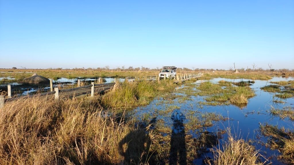
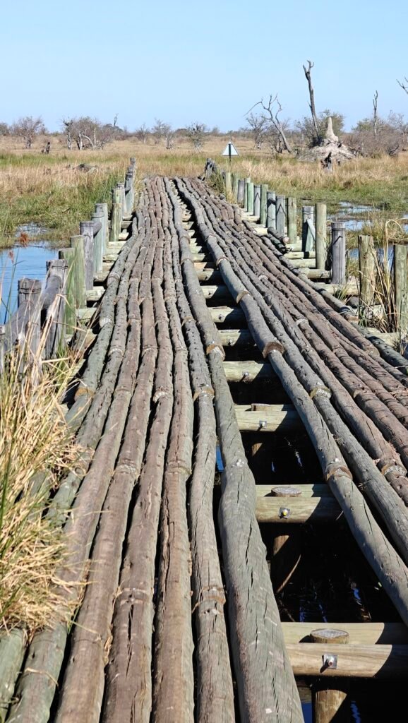
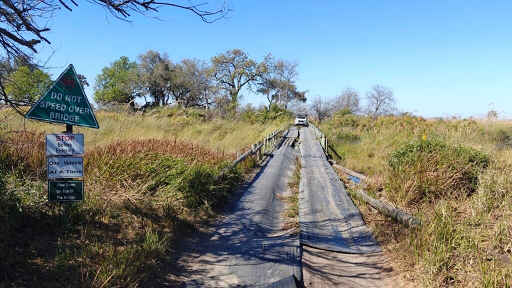
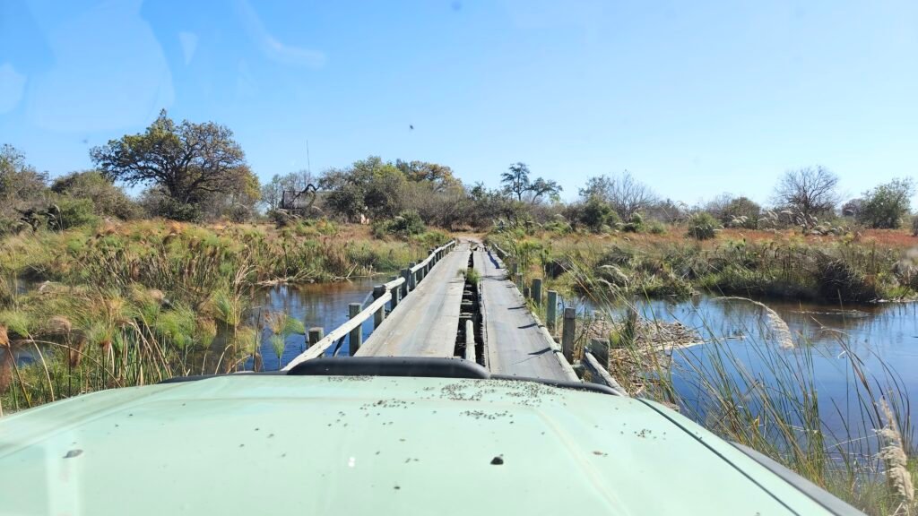
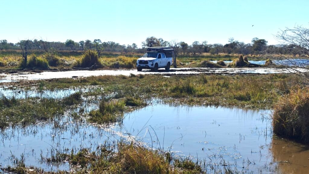
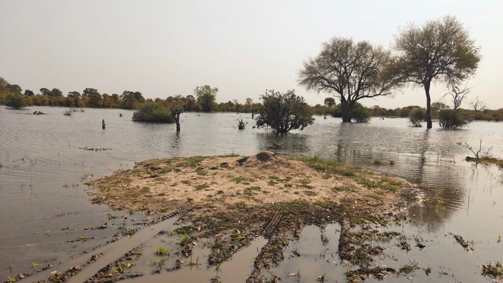
But this year, on top of the normal flood stage waters, there was exceptionally high rainfall in the basin a few months earlier, which caused the water levels to rise several feet above normal. Hence, most of the low-lying tracks in the Delta were flooded and inaccessible, and even the major tracks into the campsites were fraught with water obstacles and major detours. This resulted in some extra driving to circumnavigate impassible sections of track, and created some exciting and nerve-racking water-crossings. However, the Green Dragon had no problems negociating the water holes and crossings, and Frank and Jane, in their rental Toyota Hilux, also managed brilliantly to pass all water challenges. Here’s some photos of the fun wooden bridge crossings, flooded conditions in the floodplains and on the tracks, and a 30 second video of the biggest water hole we had to negociate:
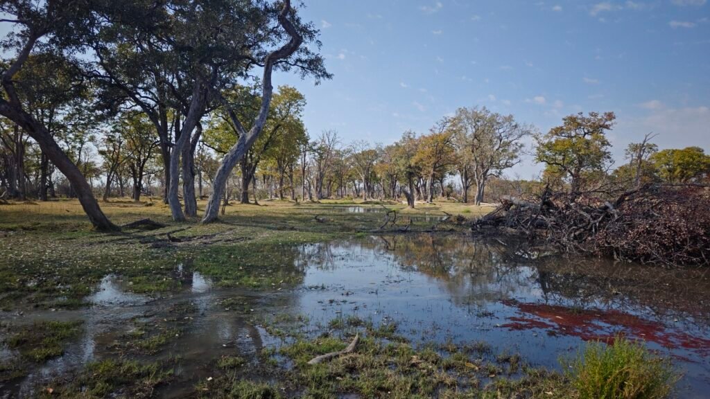
Nancy and Jane wondering how we are getting past this flooded areaDeep water hole crossing in MoremiFrank and Jane crossing 4th BridgeCrossing a channel on 4th BridgeCrossing a channel on 3rd BridgeCrossing a channel on 3rd BridgeChannel crossing at 3rd Bridge in MoremiCrossing a channel at 3rd Bridge in MoremiFlood waters denying us passageOkavango Delta in floodCrossing a channel in MoremiFloodplain challenges at Paradise PoolsFloodplain delightFlooded tracksFrank and Jane navigating the water obstacle course in MoremiTrack ends in flood waters
Leopards and Wild Dogs:
In case it wasn’t already obvious from previous posts, in addition to watching elephants, there is nothing more exciting to me than watching the big predators in action. In this regard, we had some very memorable sightings in the Delta.
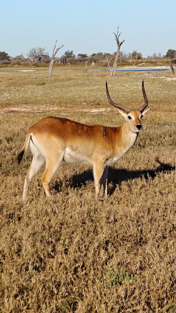
First, recall the amazing Wild Dog sighting on a Kudu kill at Savuti? Well, on one of our drives along the flooded Khwai River, we watched wild dogs chase down a herd of Red Lechwe (large, wetland antelope, see photo gallery for a photo of Lechwe) and make a kill. Unfortunately, while we had a brief observation of the intense chase through the flooded waters of the floodplain, with Lechwe in full sprint, the actual take-down and kill by the dogs was obscured by vegetation; although we heard the killing sounds from both the Lechwe and the dogs. What an incredible and rare opportunity to see this amazing predactor in action.
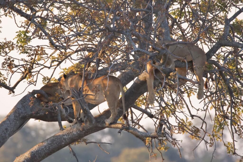
Second, recall the many amazing sightings of lions throughout our trip this year, including prides with cubs and mating lions. Well, at our Xakanaxa campsite in Moremi, we took a 2-hour sunset boat cruise into the delta. While the wildlife was surprisingly sparse, perhaps because of the very high water, we did have a truly startling observation – 3 lionesses perched high up in a tree on an island. And while we have seen lions on fallen trees and a short way up a tree stem before, we have never seen lions 10 meters up in a tree haning there on the branches as if they were trying to imitate leopards. Check this out:
Lionesses 10 m up in a tree on an island in the Delta
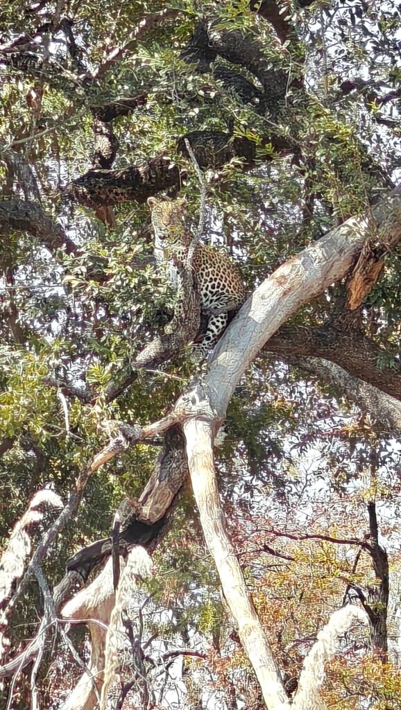
Third, recall the amazing sighting and video of a female leopard on the hunt at Hwange National Park in Zimbabwe. Well, close to our campsite at Xakanaxa in Moremi we watched another female leopard high up in a tree scanning the surrounding area – and what a sight to see her scanning from her high perch!
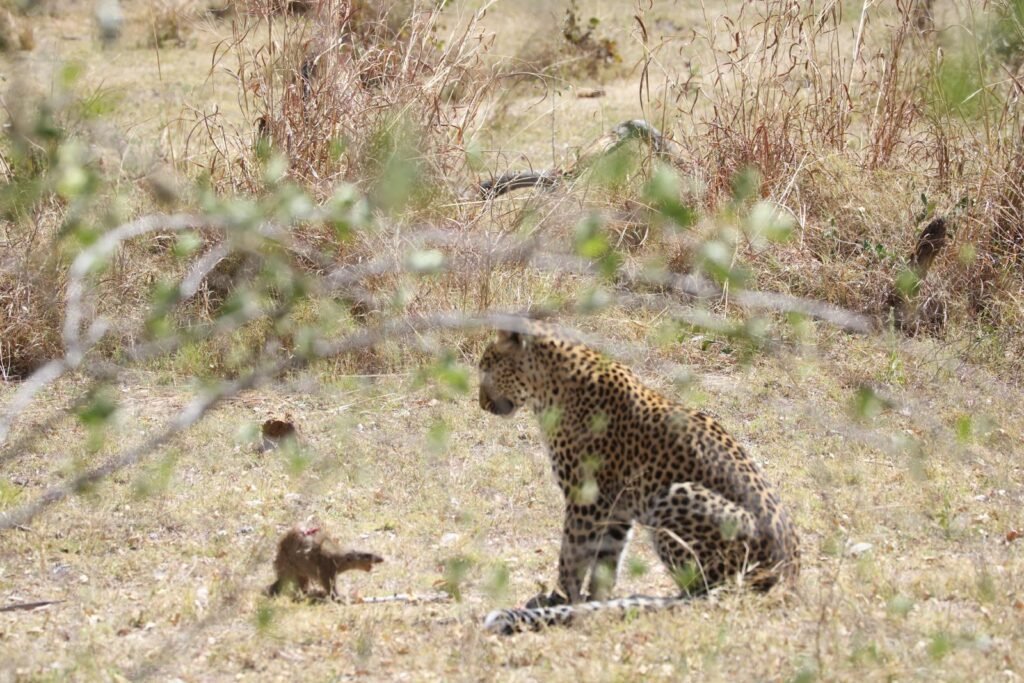
Female leopard in a treeFemale leopard contemplating how to attack a Slender Mongoose
After a few minutes, she carefully climbed down the trunk and limbs to the ground and slowly made her way towards us and across the track in front of us. She appeared to be on the hunt, although we later heard that she already had an Impala stashed somewhere in another tree. Nevertheless, she is the ultimate hunter and always looking for opportunities to make a kill.
Check out this amazing 12 minute video for some exciting elephant action, including a large adult female in a mock charge of our vehicle, and the female leopard in action:
OK, that’s it for the second leg of this year’s journey and a sad goodbye to great friends Frank and Jane who had their first exposure to the wonders of Africa. We hope they will return again with us in the future. Unfortunately, I also had to say goodbye to Nancy, as she heads home to visit friends and the grandkids. However, I was fortunate enough to have her along for almost 3 months this year, so I should count my blessings. I am off to Zimbabwe and some new Parks and then on to Kruger in South Africa and back to the Cape. See you there!
Farewell to Nancy, Frank and Jane on their last day in the DeltaPondering my next leg of this year’s journey
Wildlife Photo Gallery (some photos courtesy of Frank):
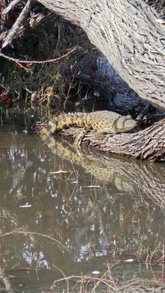
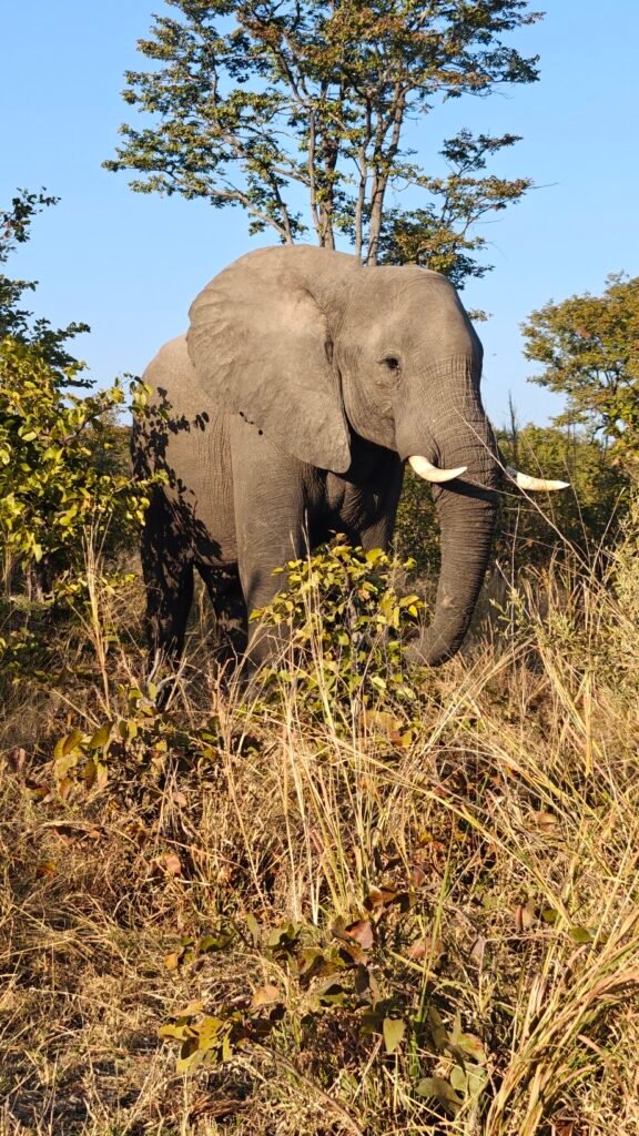
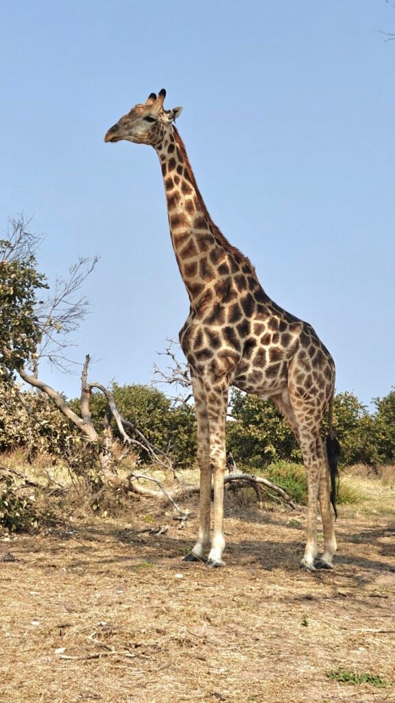
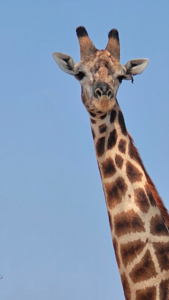
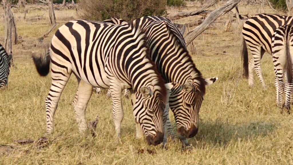
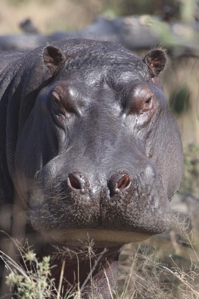
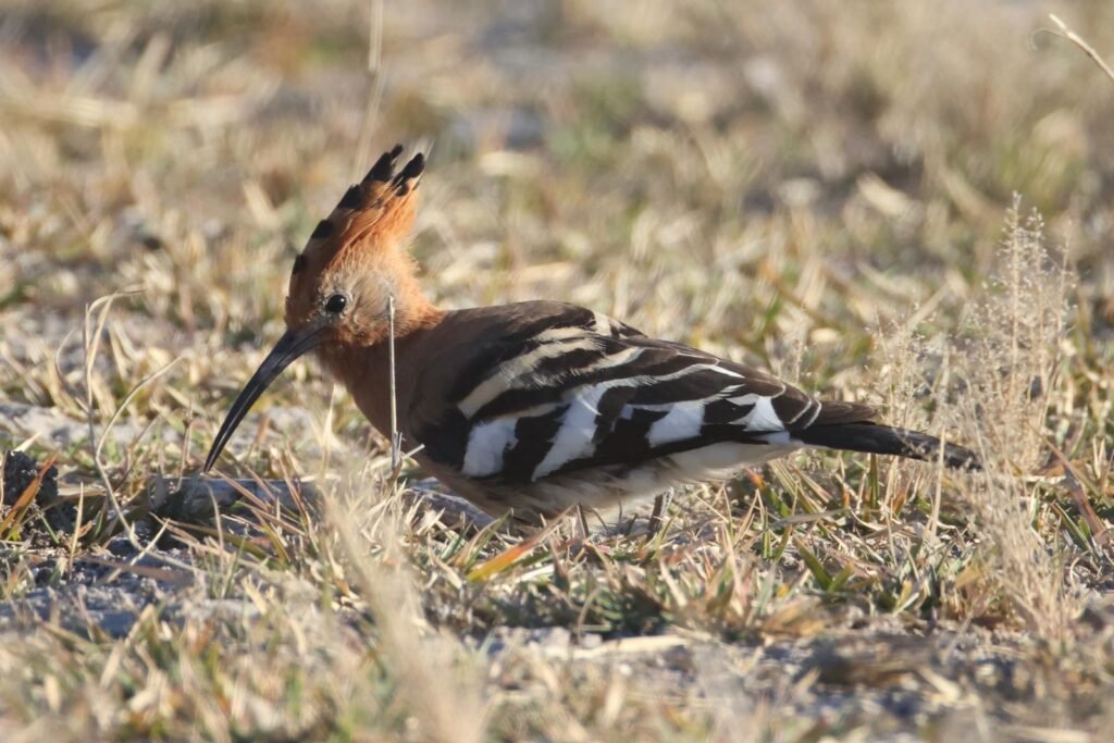
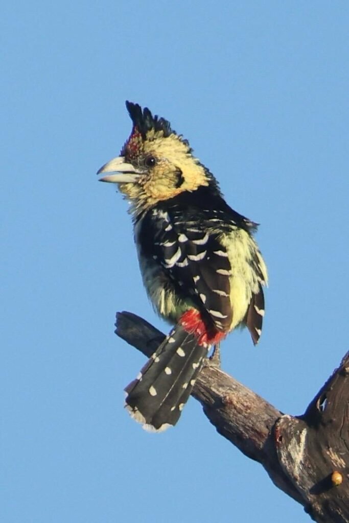
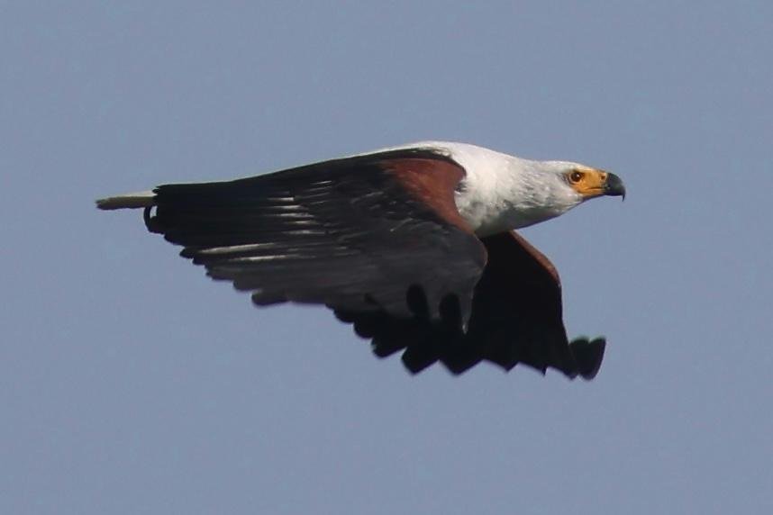
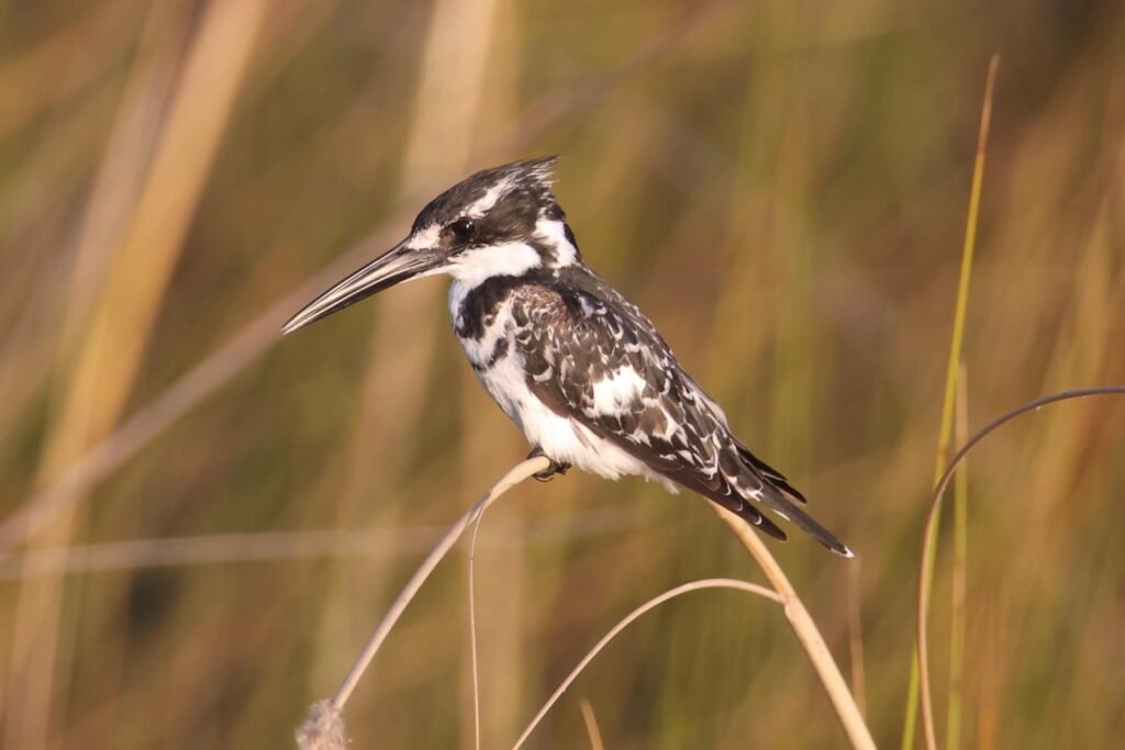
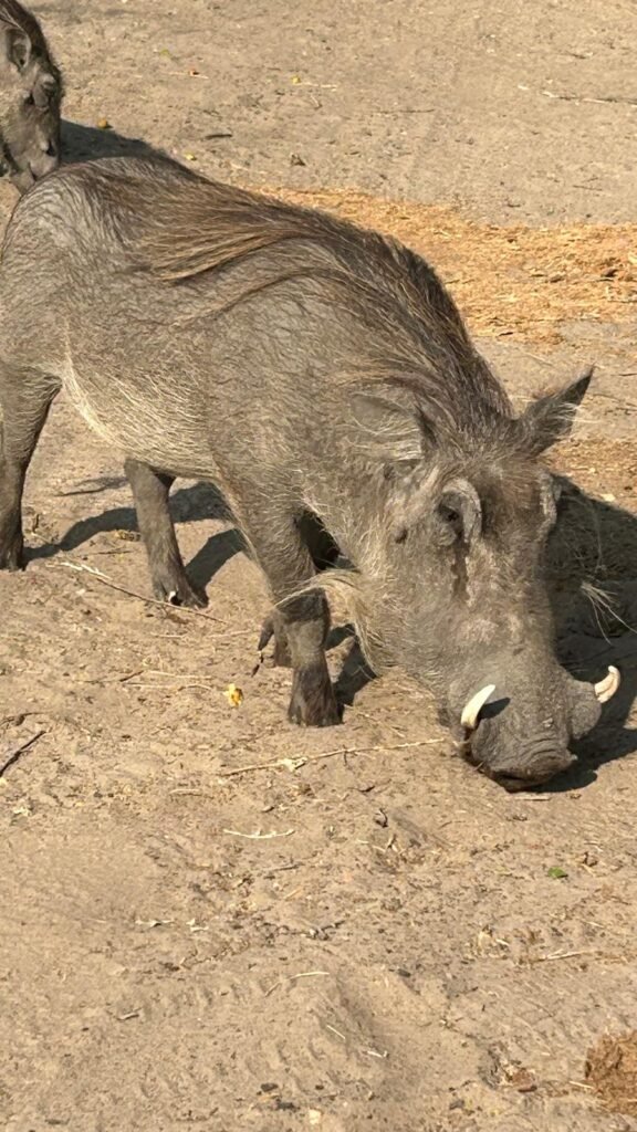
Bull elephantThe littlest bab elephantRed lechwe buckThe KingTho Shall Not Pass!CrocodileGentle giantMale GiraffeGiraffe stare-downTwin ZebrasFerocious HippoCommon HoopoeCrested BarbetAfrican Fish EaglePied KingfisherWarthog
Also, watch this video if you want to witness a huge bull elephant nearly stepping on us at our campsite, not with any ill intent, but rather as it picked up Camelthorn Acacia seedpods on the ground at our feet after shaking the massive tree to fell the seedpods – and watch Nancy and Kirsten’s nerves of steel as this massive elephant came within inches of them.
Briefly, Chobe NP, at 4,570 sq. mi, was established in 1967 as Botswana’s first national park and abutts the Okavango delta. Chobe NP is probably best known for its spectacular elephant population of over 50,000 today, which is considered to be the highest elephant concentration in all of Africa. Savuti is located in the remote interior of the Park, and it requires driving 100 km or so on sand tracks, some soft and some hard, which can be tiring for the less adventurous has an interesting natural history. Savuti is centered around a relic marsh from a large inland lake formed in what is known as the Mababe Depression, whose water supply was cut a long time ago by plate tectonics. Nowadays the “marsh” is fed by the erratic Savuti Channel, which runs for 62 miles from the Chobe River and dries up for long periods, then curiously flows again as a consequence of subtle tectonic activity in the area in addition to years of extremely high precipitation. The channel started flowing again sometime around 2008 and in January 2010 reached Savuti Marsh for the first time since 1982, but stopped flowing again in 2015. Water hasn’t reached the “marsh” since then. Consequently, the so-called “marsh” is currently a dry grassland plain for most of the year. See my previous post for a great birds-eye view of what this unique “marsh” looks like when the channel is flowing and the marsh starts to form on the plain.
We were extremely hopeful that the channel would be flowing with water all the way to the “marsh” this year giving the extreme flooding in the watershed a few months before we arrived. Alas, the water did start flowing down the Savuti Channel but did not make it very far and thus did not make it all the way down to the “marsh”. Indeed, we saw no signs of water in the channel where we crossed it. However, we did find numerous natural pans filled with water throughout the area. This was both positive and negative. On the positive side, the abundance of waterholes meant that wildlife had easy access to abundant water, which bodes well for survival and recruitment. On the negative side, the wildlife was quite dispersed since water was widely available, which made sightings at waterholes much more limited.
The landscape around Savuti is exceptionally diverse, from the extensive grassland of Savuti “marsh”, Acacia and Mopane Woodlands surrounding the “marsh”, waterholes (both natural and artificia) scattered about (both natural and artificial), Baobab groves, and stunning “Kopies” or “inselbergs” (i.e., rocky hills that rise up abruptly from the surrounding plains). Here’s a few photos:
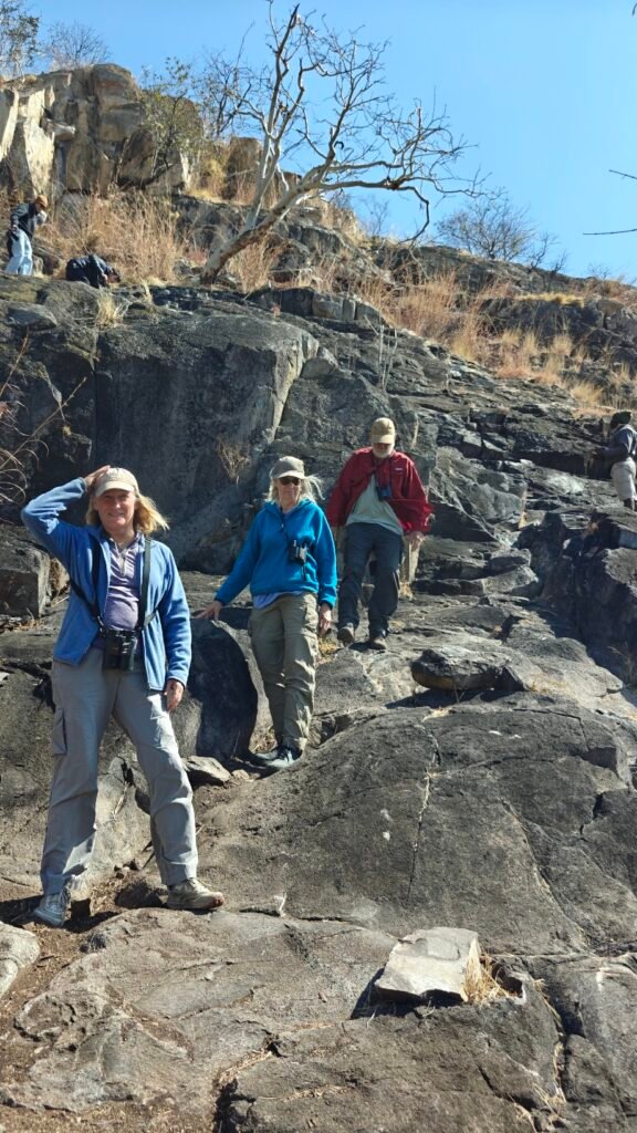
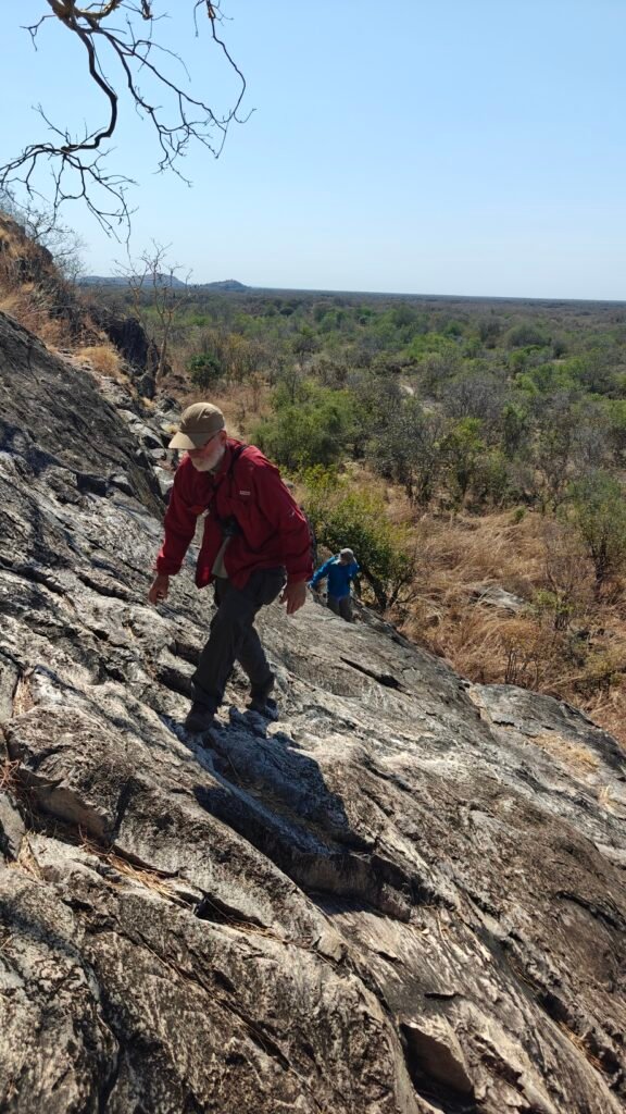
A visit to Savuti would not be complete without a visit to Bushman Hill (Koppie) to see the ancient San Bushman paintings, estimated to be more than 1,000 years old. The rock art is not that spectacular, after seeing the Anaszi rock art in the American Southwest or some of the rock art in other parts of southern Africa, but it was a chance to stretch the legs, climbe rocks (!), and get an elevated view of the surrounding landscape:
Nancy, Jane and Frank descending Bushman HillFrank and Jane ascending Bushman Hill
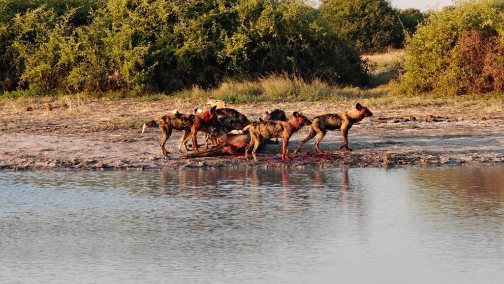
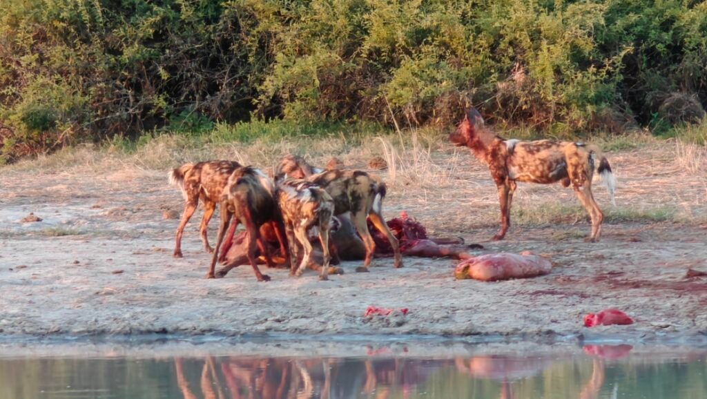
We had lots of great wildlife sightings at Savuti, but without question the most exciting was coming on a pack of Wild Dogs just minutes after they took down an adult female Kudu on the edge of a water-filled pan (Harvey’s Pans). We must have missed the actual take-down by less than a minute or two as the dogs were just starting to tear open the carcass when we arrived. This was a gruesome sighting, but also exceptional, as Wild Dogs are the most critically endangered of the large African predators, so any sighting is special. To see the dogs on a kill was a rare sight indeed. This was also a special sighting as we had it to ourselves until we were ready to abandon the site after watching the dogs gorge themselves for 10-15 minutes and another safari vehicle showed up. Watch the video below for 5-6 minutes of gruesome feeding frenzy, but only do so if you have a strong constitution and watch the ordeal for the “circle of life” that it was. Here’s a photo preview of the dynamic action in the video:
Wild Dogs on a Kudu killWild Dogs on a Kudu kill
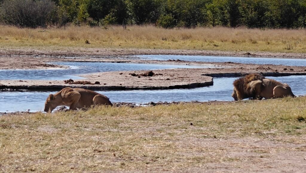
We also had a great sighting of a beautiful lion and lioness on the “marsh”, likely either before or after their 2-3 day mating ritual. Watch the 8-minute video below for a composite of the Wild Dog and Lion observations, but here’s a photo preview of the lion lovebirds:
Lion and lioness at a waterhole
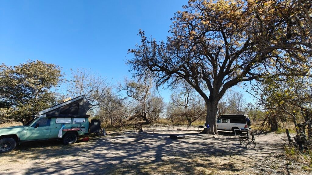
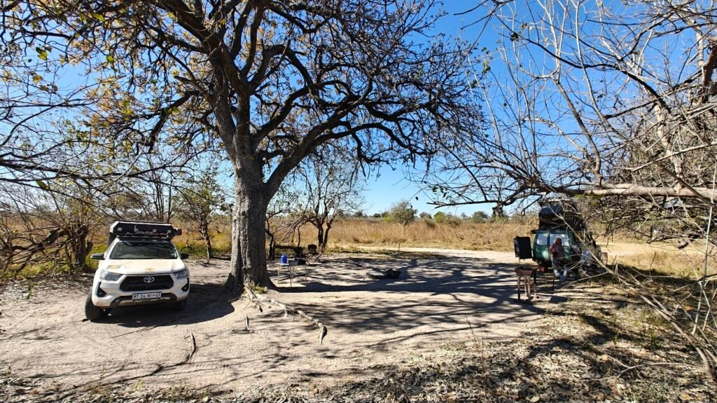
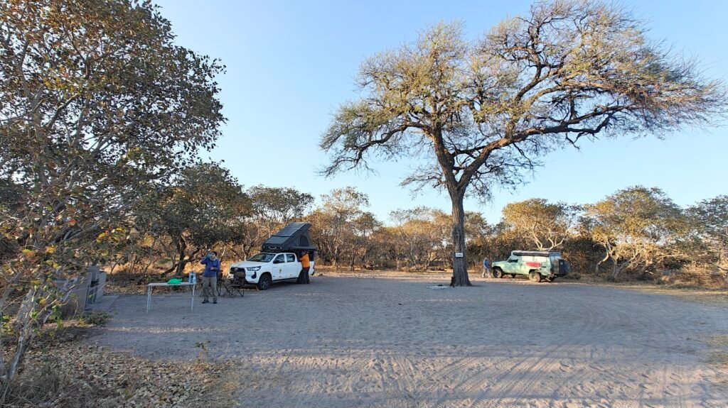
Our campsite was nothing exceptional, just a dirt space centered on a large Camelthorn Acacia tree, but it was also the site of our previous close encounters with bull elephants in camp. This year, however, we arrived after the Acacia seedpods had already ripened and fallen to the ground. Undoubtedly the elephants had already finished cleaning up the site of all edible materials, so we had no elephants in camp.
Our Savuti campsite
We had some great sundowners at Savuti; i.e., finding a beatiful setting in the bush to watch the sunset and have a happy hour drink and snack. Here’s a few pictures of those scenes:
Savuti sundownerSavuti sundownerSavuti sundowner
Here’s some additional wildlife photos from my Savuti library:
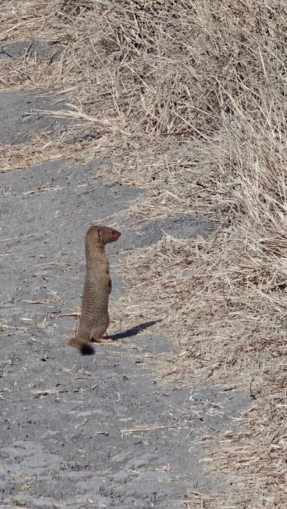
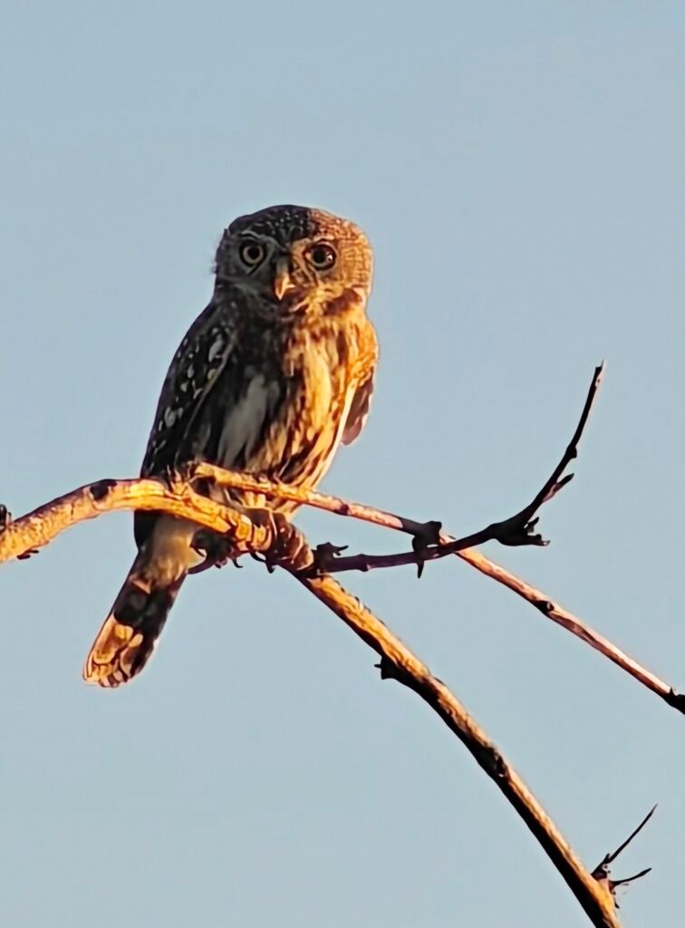
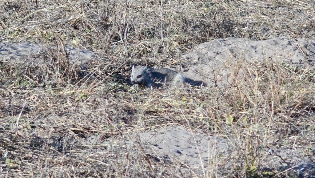
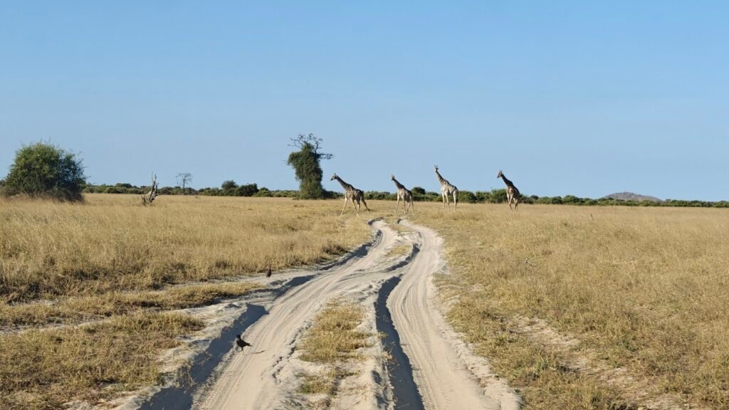
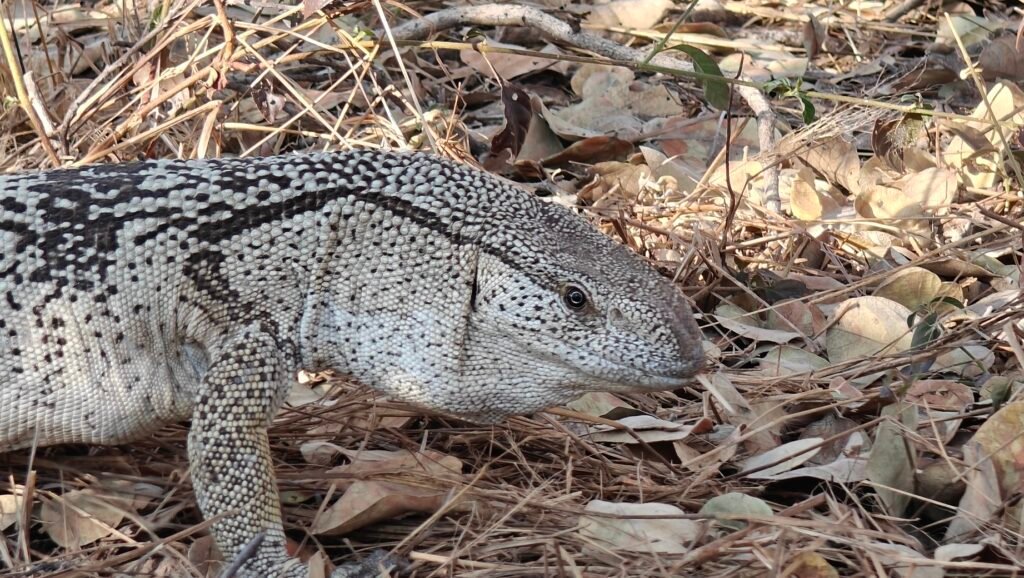
African elephantsSlender mongoosePearl-spotted owletLarge grey mongoose peering from its denGiraffes on paradeWildebeest and zebra on the Savuti grasslandsRegal giraffeRock monitor (~3.5 feet total length)Rock monitorRock monitor
It was sad to leave Savuti, which holds a special place in my heart, because there is a good chance Nancy and I will not make it back to this site again – too many other places to see around the world. We left Savuti and travelled on the long sand marsh track to the Okavango Delta and Moremi Game Reserve for the next 6 nights. See you there!
We left Kasane and headed a short distance up the Chobe River to the Serondela area, better known simply as the Chobe Riverfront located in the extreme northeast of the Park and across the river from Namibia’s Caprivi Strip:
For a more detailed description of the Chobe Riverfront along with some of the great wildlife sightings we had in 2023 when visiting with Mark and Kirsten, see my previous post:
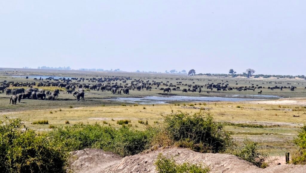
Briefly, the Chobe River is a major tributary of the great Zambezi River and forms the border between Botswana and Namibia to the North. The River and, more importantly, its floodplain is renowned for the major wildlife concentrations during the dry season (i.e., Winter here, or June-October). Recall that during the dry season, which progresses from May through October, the megafauna increasingly concentrates near the increasingly rare water sources, such as the Chobe River. Consequently, during the time of our visit, the floodplain hosts huge herds of elephant, buffalo, zebra and more. Each afternoon, the herds move down from the adjacent uplands to the floodplains. And of course, that means the large predators are also in abundance.
First, here are a few pictures of the Chobe floodplain and some of the wildlife herds and flocks:
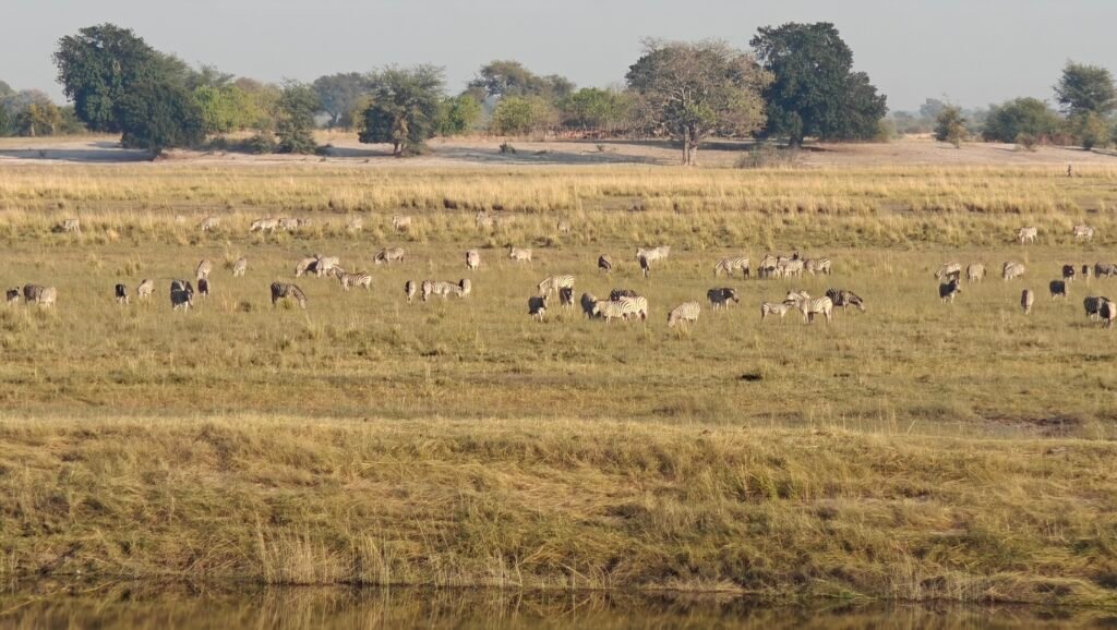
Herds of elphant and buffalo on the Chobe River floodplainBurchell’s zebra herd on the Chobe River floodplainFlock of Great White Pelicans on the Chobe River floodplain
Note, the Chobe Riverfront also includes a wide swath of uplands, which provide abundant browse for the browsing animals, such as elephant, giraffe, sable and kudu. Here’s a few pictures of driving through the uplands:
Mopane Woodland on the Chobe RiverfrontMopane Woodland on the Chobe RiverfrontMixed woodland on the Chobe RiverfrontGiant Baobab tree on the Chobe Riverfront
We camped for 2 nights at the Park Campground Ihaha located right along the edge of the river floodplain, which afford constant entertainment as we watched wildlife move past, and more (see below):
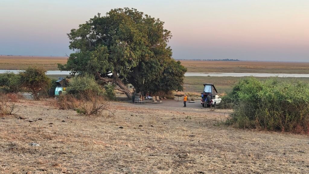
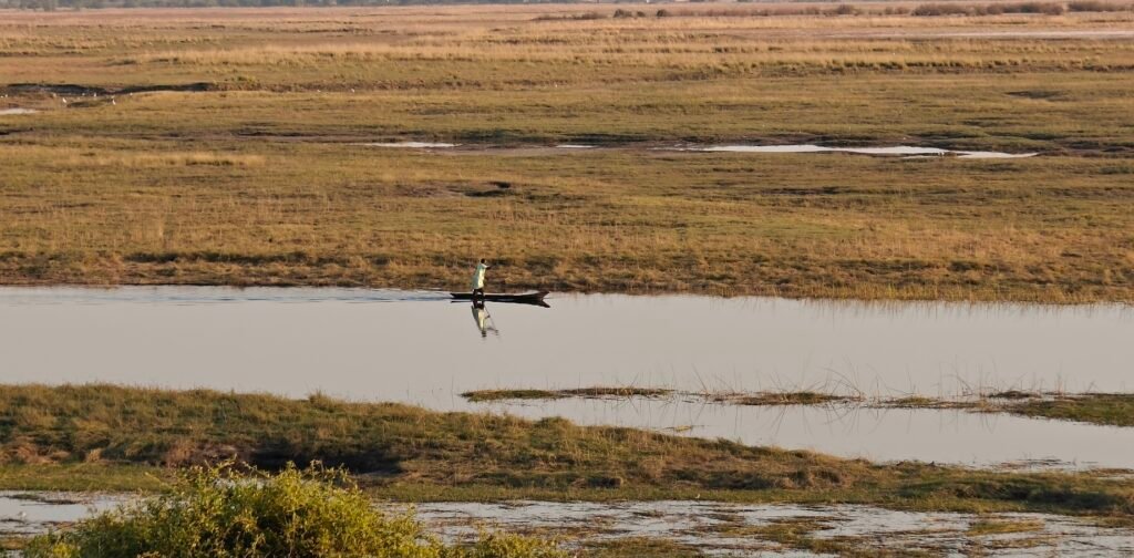
Ihaha campsite on the Chobe RiverfrontNamibian mokoro boat fisher on the Chobe River in front of our campsite
Sundowners are also spectacular on the Chobe Riverfront, and we took advantage.
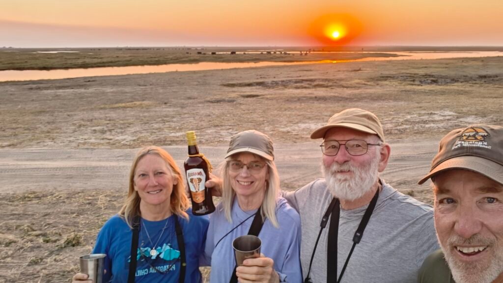
Sundowner on the Chobe Riverfront
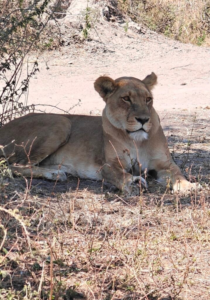
One of the exciting observations from our campsite was as follows. We found a lioness lying under a shade tree overlooking the floodplain about 200 meters from our site. We heard from the staff that she had 2 cubs stashed in the bush somewhere, and thus we had to be careful moving about. We later confirmed the 2 cubs. Anyways, it was midday and rather hot when we first observed the lioness and we figured she would be resting in the shade until nightfall, so we headed back to our site and stayed alert for any activity. Soon after, much to our surprise and great delight, the lioness rose and walked slowly down to the river – clearly to get a drink during the heat of the day, right? Well, to our surprise she didn’t stop to drink, but rather swam across the river to the Namibian side and then slowly moved through the tall grass towards a dispersed herd of cattle. After getting within, say 100 m, of several of the cows, she went into stealth mode and creeped low through the grass, approaching within meters of the nearest cow. Instead of darting out and ambushing the unsuspecting cow, she waited patiently for the nearest cow to approach her position. She was perfectly concealed in the tall grass and the cow, not the most intelligent of creatures, blindly moved toward her position, head down busily grazing. Then, when the cow was nearly on top of the lioness, the powerful cat sprang forward and attacked the cow. The actual takedown was concealed from our view, but we are pretty sure that the lioness grabbed the cow on the mouth and nose and clamped her jaws tight to suffocate the cow while pulling her to the ground. After a few minutes of struggling, she must have switched her grasp to the throat to strangle the cow. The whole thing took but a few minutes. Unfortunately, the lioness didn’t have time to open the carcass and eat because the Namibian herdsman must have noticed the distress among the rest of the cattle herd and came down to the kill site. The lioness, seeing the threatening human, quickly retreated back to the river and across to safety on the Chobe side. As she made her way back to the edge of the floodplain, her 2 cubs ran out from their hiding place (which we never found) to meet “mom”. They all went several meters uphill and laid down under a shade tree. We all felt great pity for this lioness because she was extremely thin and clearly in need of nourishment, not to mention the poor little cubs that were still nursing and would need a steady supply of mother’s milk in order to survive. We don’t know why she was away from the rest of the pride, but I’m afraid to say that the fate of this lioness and her cubs didn’t look good – which is actually quite common among lions. Unfortunately, I wasn’t able to get good photos or video of this entire hunt and kill sequence because we had to watch it all through binoculars at a distance. However, here’s a picture of the lioness prior to the hunt, but if you want to see a bit more of her in action, see the video at the end of this post:
Lioness (prior to the cattle hunt) on the Chobe Riverfront
The wildlife along the Chobe Riverfront is truly spectacular. Not only are there countless wetland and water birds, but there are lots of large and small mammal as well. Here’s some photos from my wildlife photo gallery:
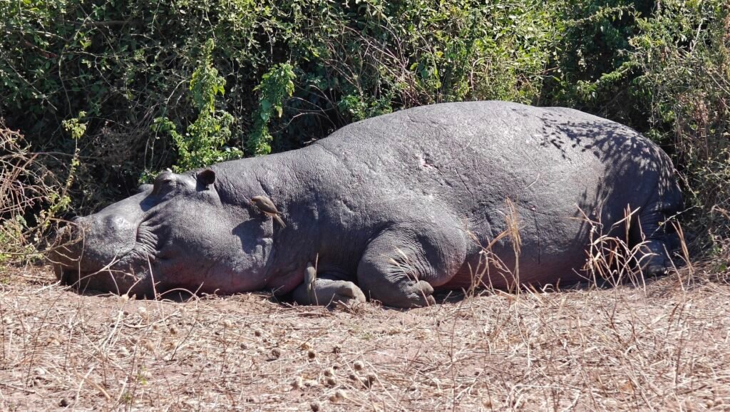
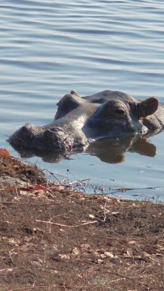
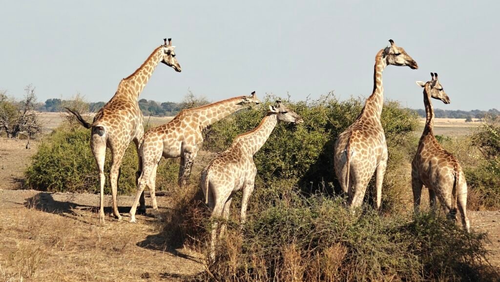
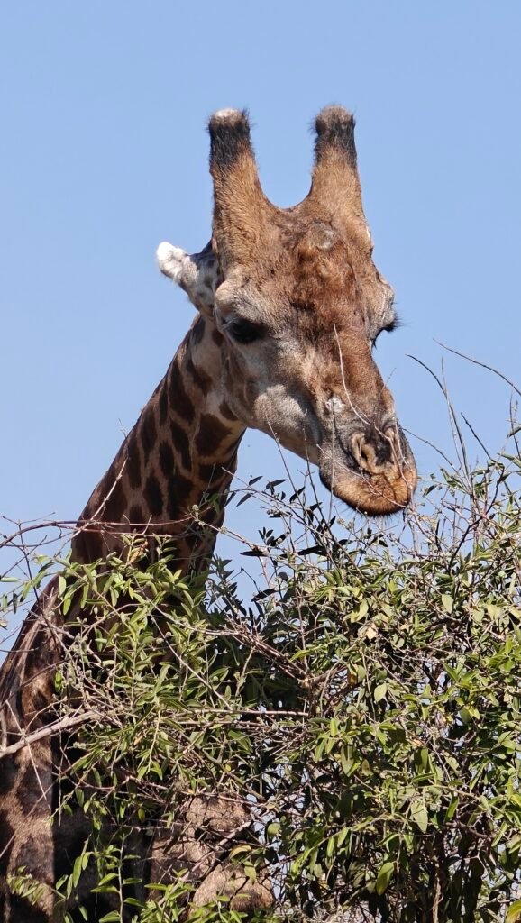
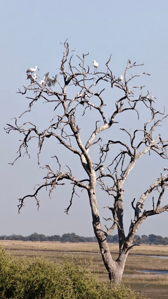
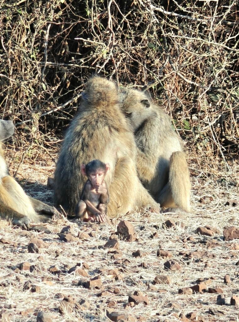
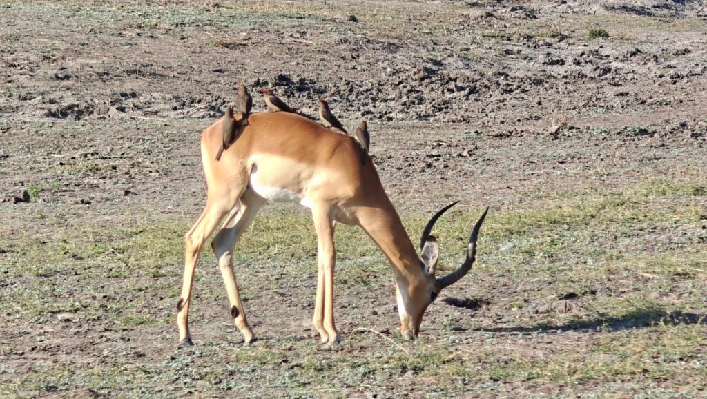
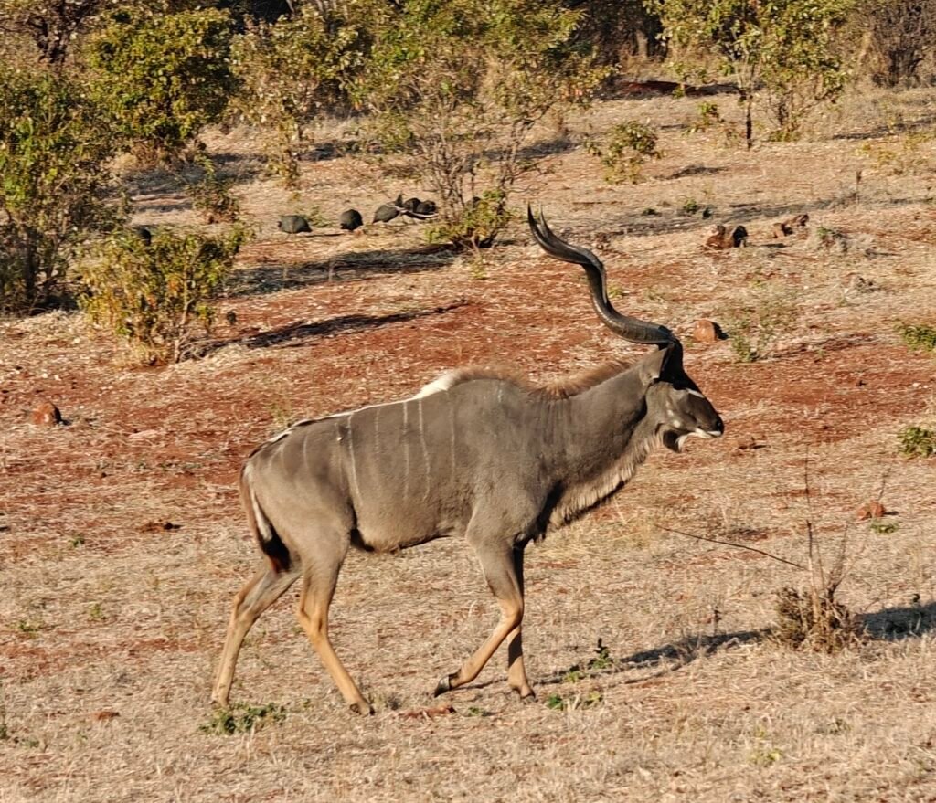
Hippo sunning itselfHippo giving us the eyeGiraffe feasting on an Acacia shrub on the Chobe RiverfrontGiraffe giving us the “look”Giraffe pondering its next biteMale Sable antelope on the Chobe RiverfrontSpoonbills roosting on the Chobe RiverfrontChacma Baboon and newborn baby on the Chobe RiverfrontImpala with a handful of oxpeckers offering a free hide cleaningGreater Kudoo on the Chobe Riverfront
Here’s a couple of composite videos of some wildlife sightings on the Chobe Riverfront:
Elephants: for those of you, like me, that love elephants, here’s some really fun observations (14 minutes)
Miscellaneous: For the rest of you that want to see a variety of other wildlife observations, including giraffe, baboons, pelicans kettling, and the lioness at the start of her cattle hunt: (5 minutes)
OK, Next stop is the remote section of Chobe National Part known as Savuti, one of my favorite places in Botswana. See you there!
After our quick visit to the stunning Victoria Falls, we made our way back to Botswana and the safari hub town of Kasane in northeastern corner of Botswana en route to the Chobe National Park Riverfront section:
For my long-time blog followers, you may recall that I posted an entry in 2023 on my visit to Kasane with Nancy, Mark and Kirsten. Here’s a link to that post in case you are interested in a brief description of Kasane:
Prior to entering Chobe, we spent a few nights in the border town of Kasane located on the Chobe River in the northeast corner of Botswana and the border with Namibia, Zambia and Zimbabwe (the only place in the world where 4 countries touch) and, of course, adjacent to Chobe National Park’s Serondela (or Riverfront) area. Kasane is the northern gateway to Chobe NP (and visits to Victoria Falls in neighboring Zimbabwe), and essentially a safari gateway town. We spent 3 relaxing nights at Chobe River Cottages in a 2-bedroom cottage and did some exceptional birding in a local community-owned nature park that closed down during Covid and is now in a state of complete disrepair. This is really unfortunate, as the Park has the very best location on the Kasane area Chobe Riverfront, with a large hill overlooking the extensive Chobe River rapids that create a patchwork of islands and channels that host huge nesting and roosting colonies of Openbills (storks), Storks (yellow-billed), Cormorants, Herons and Egrets. Covid exerted a huge toll on the tourist industry in Africa, and this place was just one of the many victims:
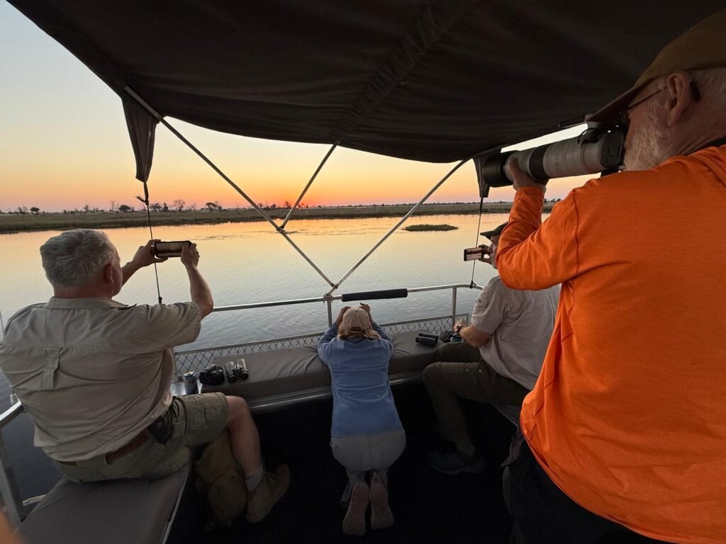
In addition to the birding and resupply operations, we also took the obligatory sunset cruise on the Chobe River. Sitting high up on the upper deck of the passenger catamaran afforded us spectacular views of the river and floodplain marshes and grasslands, which were covered with hundreds of elephants in addition to buffalo, hippos, crocs, and many other creatures, not to mention all the water birds. The Chobe River floodplains are famous for the concentration of animals, especially elephants, that feed on the lush grasses and riparian vegetation during the dry season when water is limited elsewhere. Here are some photos from our sunset cruise:
Ok, we are off to Serondela, or the Chobe Riverfront, for 2 nights and then on to the remote Savuti section of Chobe. You may not hear from me for 11 or 12 days, depending on service availability.
After leaving Hwange National Park, we drove the obstacle course of deep potholes on the National Highway all the way to Victoria Falls, in what should have been a 2 hour drive that turned into a 4 hour drive, and did I mention that it was a toll road and we had to pay $3 to drive this obstacle course? I suppose if it were advertised as challenge drive in a theme Park it would have been lots of fun, but it wasn’t advertised as such! Sorry for the rant:
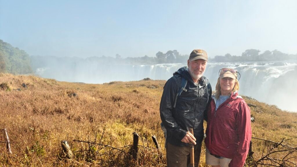
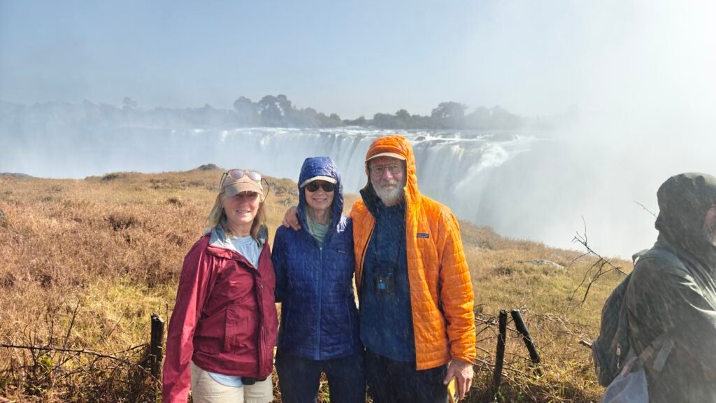
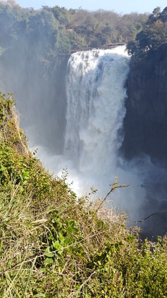
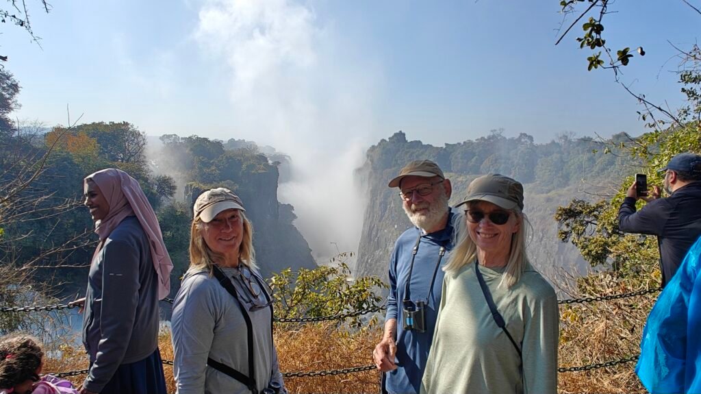
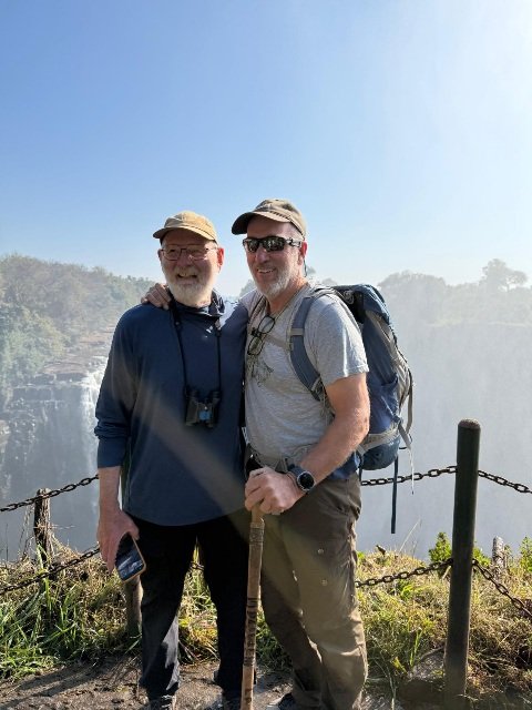
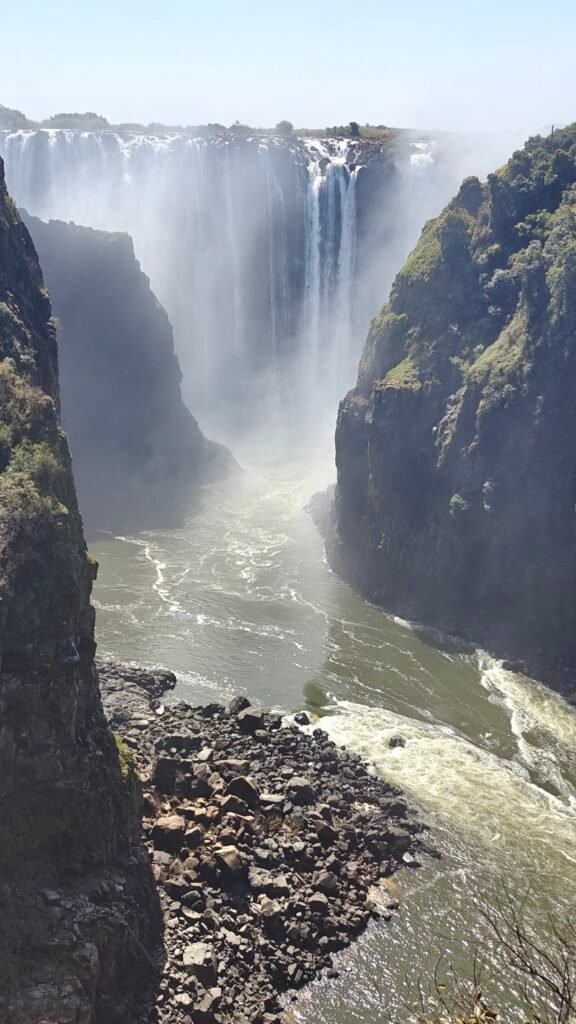
We spent two nights at a Rest Camp in Vic Falls, which was in stark contrast to the wild and exclusive wilderness campsites of the past couple of weeks, but it was a necessity so that Frank and Jane could see the world famous Victoria Falls. The Falls are designated as one of the 7 natural wonders of the world, and for good reason. It isn’t necessarily the largest waterfall, either by height, width, or water volume, but taken in aggregate it is arguably the best in the world. In any event, the Falls are formed by the Zambezi River, one of Africa’s largest river systems, in which the river drops roughly 300 feet over a width of more than a mile into a narrow trough formed along a fault line and then drains through a narrow gorge on its way to the Indian Ocean. It is a truly spectacular natural wonder and one that pictures and descriptions can’t do justice to. Here are several pictures of our visit to the Falls and a very short video.
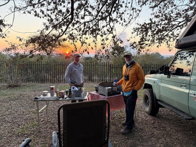
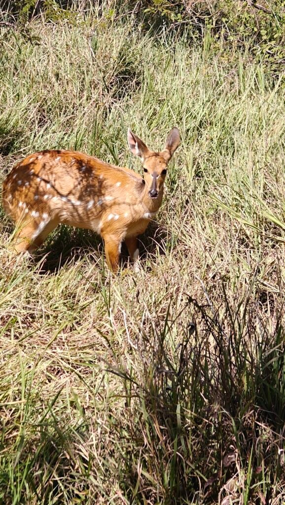
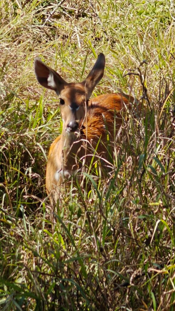
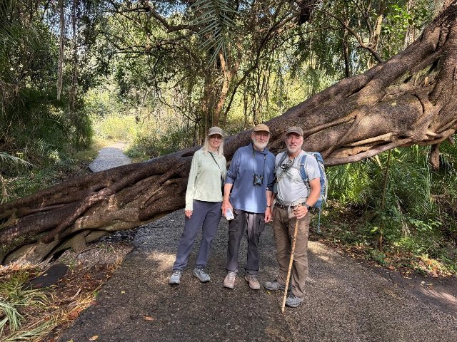
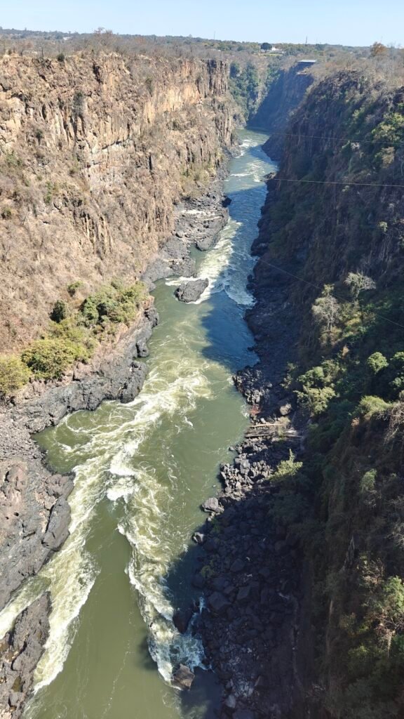
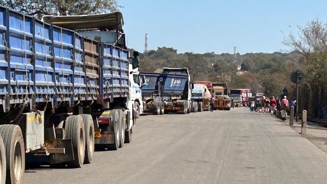
Frank prepares breakfast at sunrise before our trip to the Falls (mist rising in the background is from the Falls)Chanced upon a tame Bushbuck (female) the morning of our visit to the FallsBeautiful and usually very shy Bushbuck in Vic Falls National ParkNancy and I at the FallsNancy, Jane and Frank at the FallsWestern most finger of the FallsNancy, Frank and Jane looking East along the wall of the FallsFrank and Kevin overlooking one of the sections of the FallsJane, Frank and Kevin in the Rain Forest at Vic FallsZambezi River gorge below the FallsZambezi River gorge below the Falls from the Zambezi River bridgeHeavy trucks (most laden with Coal extracted from nearby mines) en route to Zambia over the Zambezi River bridge between Zimbabwe and ZambiaFrank and Nancy chilling by the pool at our Rest Camp in Vic Falls
Here’s a very short 1.5 minute video of the Falls:
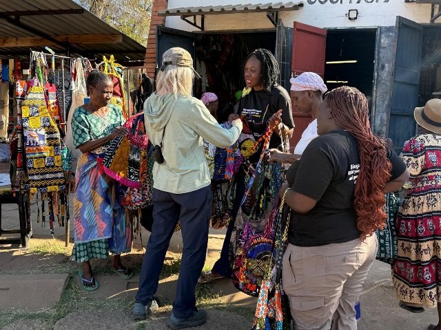
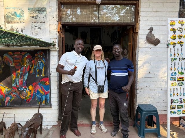
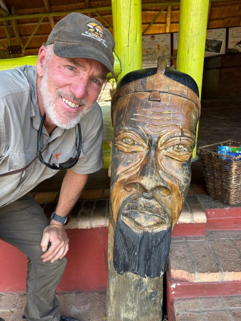
Our visit to Vic Falls was, of course, focused on seeing the famous Falls, but you can’t go to Vic Falls without also experiencing the open-air markets that sell every sort of African curio you can imagine, ranging from wood and stone carved figures to colorful printed textiles of all sizes, shape, colors and patterns. Navigating the the marketplaces and fending off persistent sellers can be very overwhelming, and is not for the faint hearted. Nevertheless, it is an interesting, albeit somewhat stressful, cultural experience, and one not to be missed. Plus, you can purchase some really cool memorabilia! I learned that Jane, in particular, is a master at bargaining with sellers to find the lowest, but fair, price for items. All of us managed to come away with several items of interest, and with a few dollars less in our pockets that hopefully helped out the merchants make a meager living. Here’s a picture of Jane surrounded by women in the Women’s Cooperative Craft Market all competing for a sale, a picture of Nancy being wooed by two vendors, and me considering whether this particular mask would be too big to fit in my checked baggage for the flight home.
Jane bargaining for an item with women in the marketplaceNancy and her two suitors at the marketplaceKevin considering a mask
OK, we are off to Botswana for a little more urban R&R and then back to the bush in Chobe National Park and Moremi Game Reserve. See you there!
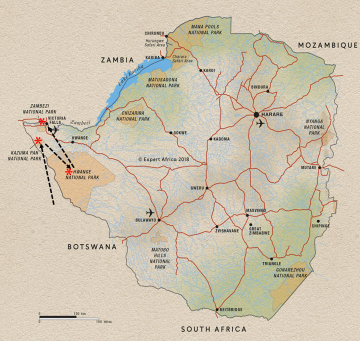
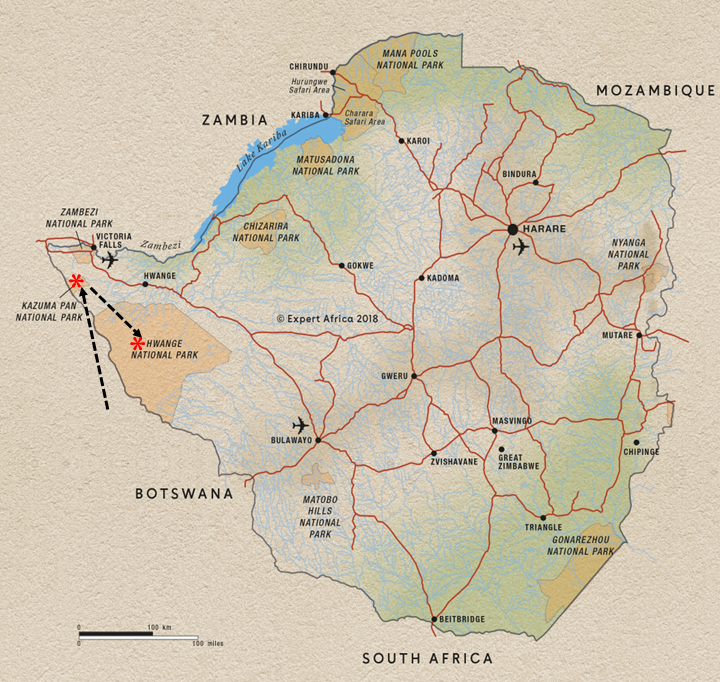
After leaving the surprising hidden gem of Kazuma Pan National Park, we headed further into Zimbabwe to one of the flagship parks of the country, Hwange National Park:
Nancy and I spent 6 nights in Hwange National Park, the largest Park in Zimbabwe, in 2023 in the first year of this overlanding blog, and I posted a long description of the Park and our visit, including a detailed description of the natural and cultural history of the Park and some vivid descriptions of our “close encounters” along with lots of great photos and videos, which can be found here:
It’s impossible to adequately summarize what I covered in the 2023 post, so I encourage you to review that post if you are interested in the natural and cultural history and some fun stories of our wildlife encounters. Consequently, I won’t provide a synopsis here, as it wouldn’t do justice to the Park or the description of our visit in 2023. Instead, I am just going to post lots of photos and a composite video for your enjoyment. Similar to some of my previous posts this year, I am going to group photos loosely by some broad categories, with descriptions in the captions.
Landscape: I described the varied landscape in my 2023 post, so review that for a good description. Here are a few photos from this year representing some of the varied terrain and vegetation:
Gallery upland forest in HwangeGallery upland forest in HwangeGrassland pan in dry riverbed in HwangePan with marsh vegetation in HwangeMopane Woodland in Hwange
Travel/Roads: Travel in the remote Parks of Zimbabwe can be challenging at time. The roads, or rather tracks, are often corregated with pockets of deep sand and sometimes with water and mud holes to cross, but mostly hard sand or gravel and great for wildlife drives. Here’s a picture of one such challenge. Of course, the Green Dragon had no trouble with this little mud hole:
Heavy truck stuck in the mud hole en route between Kazuma Pan and Hwange
Campsites: The campsites in Hwange, at least the exclusive ones we stayed in, are absolutely amazing, both in the setting and the facilities that come with a full-time camp tender who cleans the ablutions and builds your campfire:
Ngweshla campsite in HwangeMandavu pan waterhole and hide campsite in HwangeHide above Mandavu pan and waterhole and our campsiteDeteema Dam waterhole and hide and our campsite in HwangeDeteema Dam waterhole and hide and our campsite in HwangeSunrise from our Deteema Dam campsite in Hwange
People: It’s important to remember that overlanding is not just about the beautiful landscapes and amazing wildife sightings, but it’s also about the people you share the experience with:
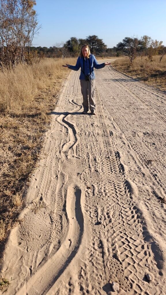
Nancy, Frank and Jane in the hide at our Mandavu campsiteNancy trying to figure out what animal made this track (Huge Rock Python!)Nancy, Jane and Frank watching birds, crocs and hippos in HwangeKevin serving homemade (on the fire) cinnamon rolls for breakfast, along with egg scrambleFrank, Nancy and Jane at a leg stretch stop and waterhold in Hwange
Wildlife: The wildlife observations in Hwange are excellent, especially around the natural and artificial water holes – some of which are small reservoirs. In particular, the elephant concentration is absolutely incredible. We must have seen over 200-300 hundred or more elephants, including multipe family units of 5-25 individuals with young of all ages, and plenty of bachelors in small groups. Lots of close encounters too!
In addition to the many bird species we saw, dramatically increasing Frank and Jane’s species list, we also heard lots of lions at our campsites, both close and far, and were granted an outstanding sighting of a nursery group of 4 lionesses with their 7 cubs as well as several individual lionesses on the hunt. But the highlight of our wildlife sightings, thanks to Nancy’s detection, was a 20 minute private observation of an adult female leopard on the hunt. You really must watch the video, or the last 5 minutes of it, to see this amazing sighting. Otherwise, I included a handful of other miscellaneous wildife pictures just to show you it isn’t all about elephants and the great cats:
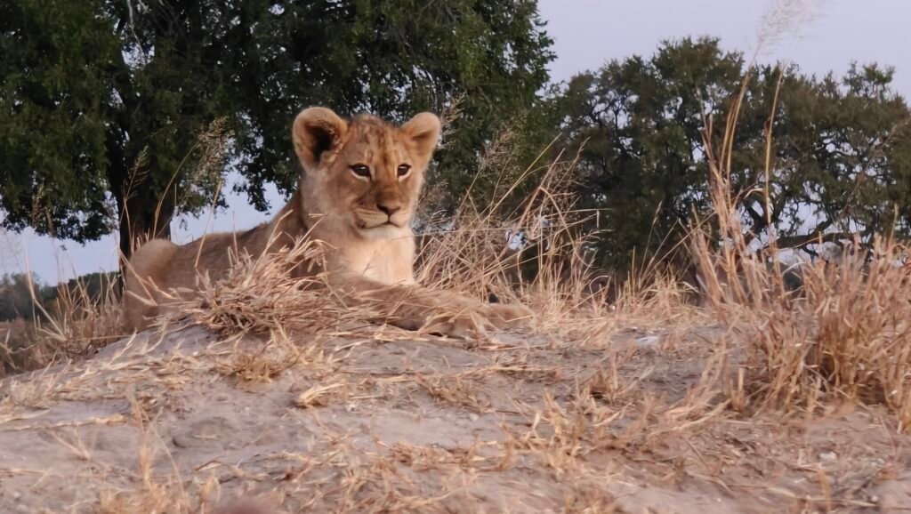
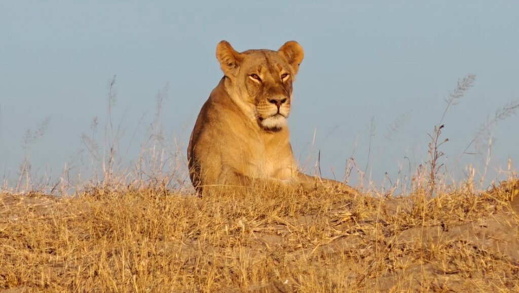
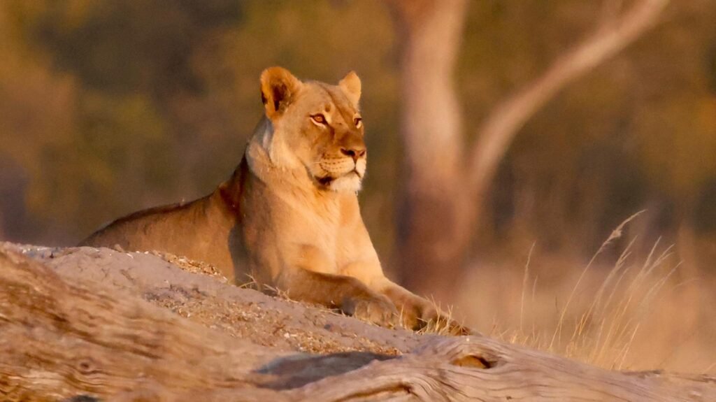
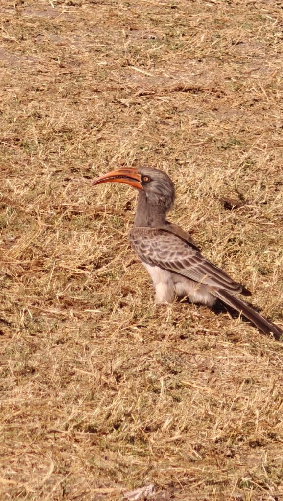
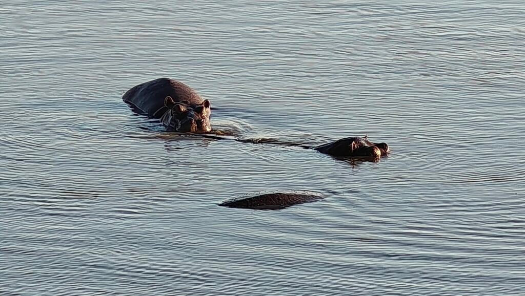
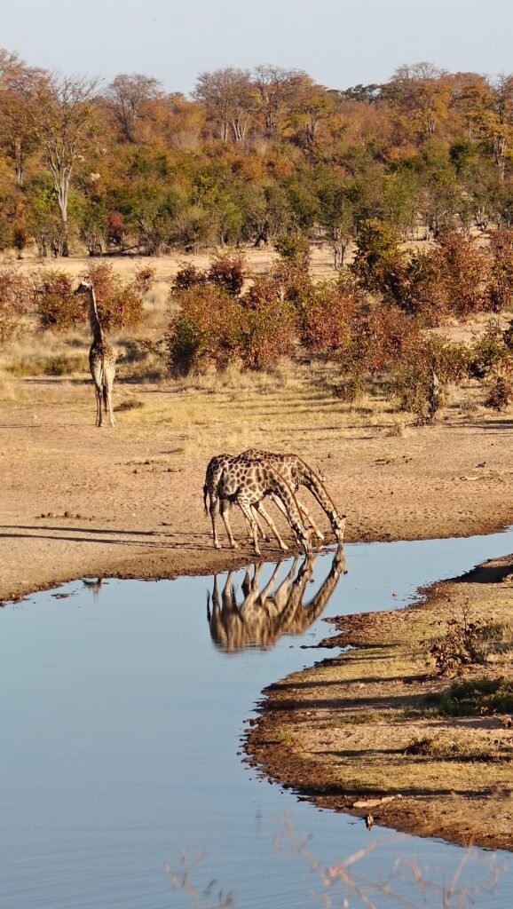
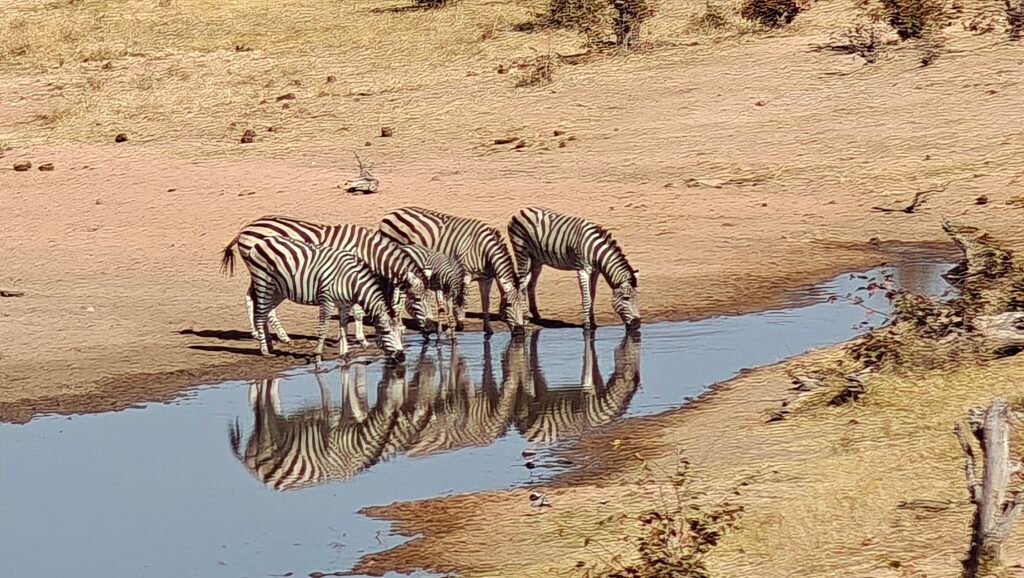
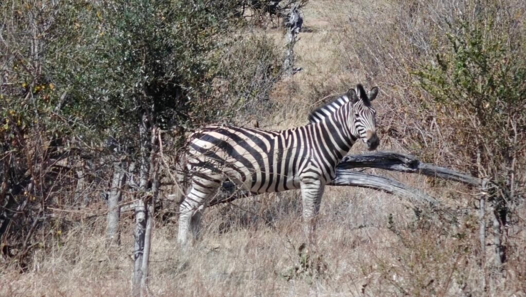
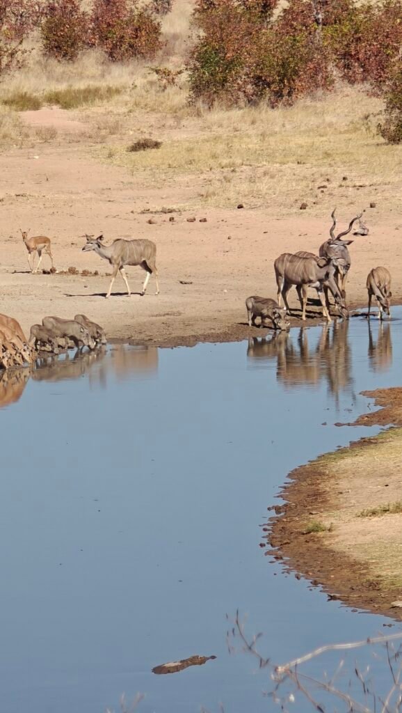
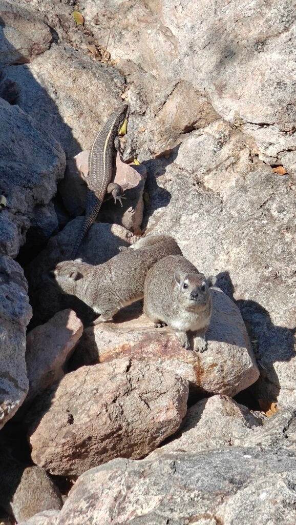
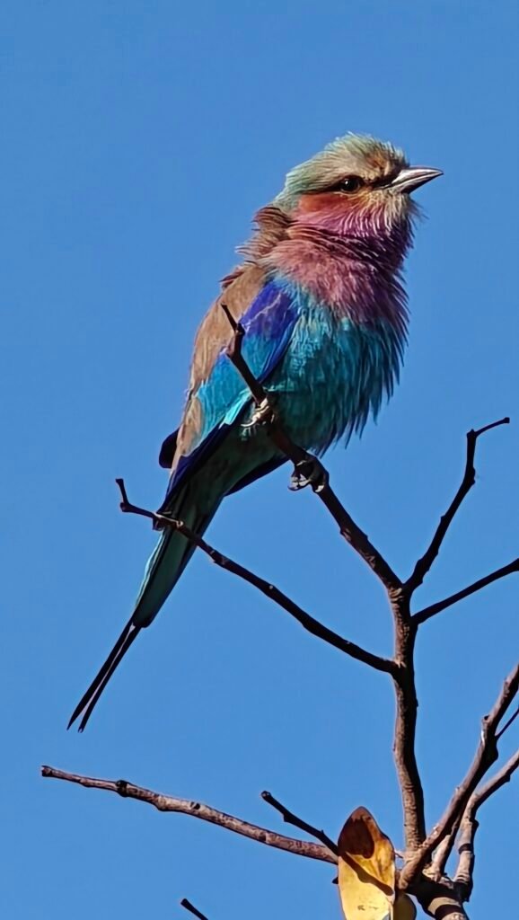
Adult female leopardAdult female leopardLioness on the huntLioness on the huntLioness and the seven cubs resting in the shadeLionesses caring for the cubsOne of seven lion cubsLioness scanning the pan for preyLioness scanning for preyBradfield’s hornbillAdult female elephantHerd of zebra grazing near a waterholeMale waterbuck (a.k.a. bullseye butt)Sable antelope (males)Sable antelope (adult male with massive curved horns)Hippos at one of our campsite poolsGiraffe drinking at our Mandavu campsite waterhole (male keeping watch while the females drink)Zebra drinking at our Mandavu campsite waterholeBurchell’s zebraMixed species at our Mandavu campsite waterhole (how many species do you see?)Rock hyrax and a very large lizzardThe most beautiful bird in Africa (lilac-breasted roller)CrocodileCrocodileAfrican harrier-hawk
Here’s a 14 minute composite video with some footage of giraffes at a water hole, elephants in a few different scenarios, some lion footage, and, best of all, at the end, 4-5 minutes of a female leopard on the hunt:
OK, that’s it for Hwange. Next stop, one of the designated 7 natural wonders of the world, Victoria Falls, for a couple nights and then back to Botswana and the Chobe River front. See you there!