July 19-20: Msambiti and beyond

After leaving my little gem of a campsite at Kilwa, after being delayed by my primary car battery failure, I made my way south to the southern most point on the coast of Tanzania:

My destination was the Mnazi Bay-Ruvuma Estuary Marine Park and the Msambiti Penninsula. The road was a pothole nightmare once again, but I wont sour this post with more whinning about that. The Park, established in 2000, encompasses a narrow sliver of coastline along the southern coast bordering Mozambique. The area covers 251 square miles, of which one-third is on land. The marine environment within the park is exceptionally diverse and includes mangroves, rocky and sandy shoreline, mudflats, salt pans, fringing coral reefs, lagoonal patch reef, seagrass beds, three islands and numerous small rocky islets.

Interestingly, close to 3,000 or 30,000 people (depending on the source) live within the “Park”, depending mainly on marine resources for their livelihoods; the park includes in its boundaries 11 villages and 8 sub-villages. There are few opportunities for development, hence poverty is rife. This has created an over dependence on marine resources and the persistent use of destructive fishing methods. Indeed, between the ubiquitous human development on the penninsula and the unconstrained fishing that I observed, there really isn’t any “Park” to this Park other than a name on the map and an opportunity to extract money from non-resident tourists like me. This is another pet peave of mine: Parks that don’t really protect the environment from human uses and yet charge an arm and a leg for non-residents to access. This Park is a classic example of this. To make matters worse, natural gas was discovered in Mnazi Bay in 1982, and wells were brought into operation in 2006. Gas from the wells all over the penninsula within the Park is now piped to the mainland within the Park where there is a big gas processing plant. If I had known it was going to be this un-Parklike, I probably would not have made the extra drive to get down there.

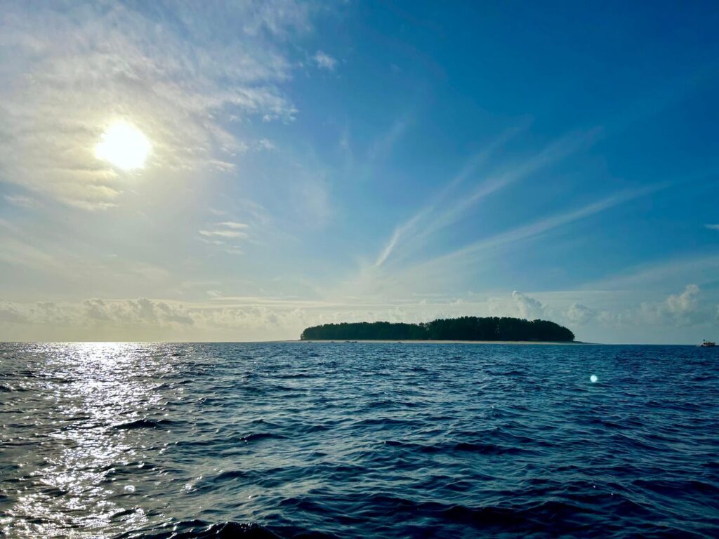
On a positve note, I camped in another delightful beachside location at a private lodge and it cost only $8 USD. I had the place to myself except for a nice German family with two young children and a grandpa that stayed in one of the cottages. Unfortunately, as with my previous campsite, I didn’t have a lot of time to enjoy the site other than an evening, as I was off early morning to go on a whale-watching boat ride with the German famil – despite the fact that they were christian missionaries. You will have to watch the video to see my campsite, as I forgot to take a picture. The target of the whale watching trip was humpback whales, which come to these nearshore waters beginning this time of year to give birth before heading back south to colder waters for feeding. Apparently, the whales had been seen recently were almost certain to see them – according to Park staff and boat captian ???? – but we saw none after about 2 hours of looking. We did see some spinner dolphins but I suppose the highlight was the gorgeous sunrise:

Whale watching with cute German family
Sunrise off the Msambiti Penninsula

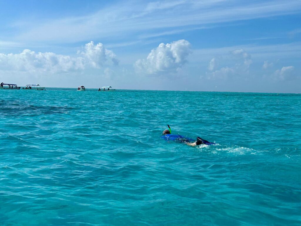
My purpose on the Penninsula was actually not whale watching – that was unexpected – but rather snorkling on the nearshore coral reefs. After the boat trip I spent a couple hours snorkling on beautiful coral heads just off the beach. Unfortunately I don’t have underwater pictures to share as I don’t have an underwater camera, but the reef was in moderately healthy condition (patchy) but there were lots and lots of colorful fish and the water was shallow and clear so visibility was great. Needlesstosay, I had the entire reef and beech to myself. Here’s the beach where I snorkled in the waters just offshore:

oplus_3145728

I was planning on spending two nights on the Penninsula but then realized that my drive the following day would have been 10-12 hours. No way could I handle that with the often stressful driving, so I left the Penninsual and headed west towards my destination, Songea, before then turning south to enter western Mozambique. After driving several hours I stopped before sunset at a “wild” campsite identified on my trusty iOverlander app. It was a rock quarry next to a rocky hilltop right off the highway. Looked good, so I started to set up when a local showed up on the rock above. I later learned that the locals come to this high point in the evening to make their cell phone calls as the reception is good there. Before long there was probablly 8 men looking down on me from the rocks. OK, probably not the safest and wisest place to spend the night since technically I was tresspassing. Fortunately, the first man there was a secondary school biology teacher at the community-based school in the tiny village of Lumesule just over the hill and we got to talking and he invited me to spend the night at the school grounds. So, I packed up and we headed to his school.

I met several of the other teachers and staff and was surrounded by hundreds of young boarding students for a while before a couple of the teachers walked me into the village center to show me around. Not much to the village center other than one small fruit stand selling only banana’s, and a pool table for the young, mostly jobless, 20-year old men to spend their evenings. In 2-3 hours of discussion, I learned a lot about the community-based school, local, national and international politics and economic challenges, and of course football (i.e., soccer). The English teacher, who barely spoke English, tried to get me to stay through the weekend to talk to the students in proper English, but I simply couldn’t comply given my plans ahead.

Overall, the school is a sad and depressing situation, and it would be easy to want to help out financially and otherwise, but then you realize that there is a school just like this one every several kilometers down the road and it feels hopeless. In this case, for this tiny village, there are 300 students, half of whom board, and 17 teachers. The students have to help with all the capital improvements and facility maintenance on top of their “studies”. They even have to carry water by buckets up from the nearby river to meet their water needs. Most of the parents don’t support sending their kids to secondary education but fear government repercussions if they don’t, so they do, and the kids treat learning and using English as a form of punishment, so nearly all of them lose all English skills once they leave school – as was demonstrated in our visit to the village. Worse, only about 10 out of 300 kids will go on to any form of higher education because the parents and community largely don’t realize the benefits of doing so. So 90% of them are stuck in the same poverty-striken life of their parents with no aspirations to change that. It’s heartbreaking because the kids simply don’t know any better and they are getting no incentives or encouragement to improve themselves and their livelihoods through higher education. Instead, 100% of them (I learned) simply fall back on their religious beliefs (75% muslim, 25% christian) to justify their lot in life. Religion as an escape goat to justify suffering in this life is one of the great lies of religion in my opinion.

Here’s an early morning photo of my site before the students got up as I left early in the morning:

My campsite on the secondary school grounds at Lumesule

Here’s a composite video with a clip of my Msambiti campsite, snorkling site and the school grounds at Lumesule:

Msambiti and beyond composite (4 minutes)

OK, off to Songea for a night in town and then south to Mozambique. Cheers.
July 16-18: Dar es Salaam and south coast

After leaving Saadani National Park, Nancy and I headed south to the metropolis of Dar es Salaam, Tanzania’s largest city and economic hub located on the central coast. We spent two nights in Dar and then I headed south alone to the small coastal village of Kilwa:

Regarding Dar es Salaam, have you figured out yet that I don’t much like big cities – indeed most cities, large or small – but some are tolerable, such as Nairobi, but others are hell on Earth for me. Dar clearly falls into the latter category for me. It is total choas from the outskirts to the interior: an unorganized mass of humanity, exhaust-filled air, traffic congestion and patterns that quite frankly boggles the mind (i.e., there is no order to the traffic pattern, just chaos), and, as far we could tell, no redeeming attractions to compensate for the above. The video below has a couple minutes footage of me driving in the tuk-tuk and bus-filled streets of Dar as I was leaving the city on my own, but this was only a moderately chaotic scene as I could not video while driving in the truly chaotic scenes. No polyanna attitude on this one (sorry Sherry).

We stayed in a hotel in the downtown section of Dar which may have contributed to my opinion, as I expect there are some nice sections on the waterfront. We took care of some important shopping business on the way into the city and then chose to chill in the hotel for the next full day. Nancy got a pedicure and a massage while I used the fitness center, and we both caught up on some Netflix episodes. The following day, I left the city alone without my foremost partner and companion, Nancy, as she went to the airport for the long journey home. Sad day for both of us!

Driving south down the coast, I had no particular destination in mind. I simply wanted to get far enough south so as to get to my coastal destination the next day. I found a place on iOverlander and checked it out online and it looked great. It was a small beachside lodge and campsite outside the small coastal village of Kilwa about 6 hours drive south of Dar. Just before the turn off I pulled off to the side of the road to have a snack and turned off the engine. When I finished and got back into the Green Dragon and turned the key, I heard clicking and saw lights blinking on the dash, but no engine start – SHIT! It was clearly an electrical problem, not mechanical. I checked the batteries and filed down all the wire leads connected to both the primary and secondary battery. Nothing doing. The primary battery voltage was down a bit so that seemed like the most likely culprit. Anyways, some workers walked by and one of them spoke some very limited English and I had him phone the village ahead and have an auto electrician/mechanic come out and help. He came on a motorbike after an hour or so and checked all the wires and battery connections as I did, and tested all the fuses (there are many of the them in probably 4 or 5 different locations) and then speculated that the primary battery was bad. I was suspicious of the diagnosis at firest because it had been fine all along showing no signs of failing. So, he went back to town and an hour later came back with a couple of spare batteries. After messing around a bit, we started the Green Dragon with one of his spares and put the original back in, drove to the village, turned off the engine and tried to start it again, but it failed completely. This confirmed that the battery had simply failed – argh! So, I purchased the best new battery available, hoping that it will prove to be a decent battery, and went on my merry way about 5-6 hours after stopping for my snack.

That’s the bad news of the day; here’s the good news. The Kilwa Beach Lodge was another hidden gem. I was the only guest and I parked the Green Dragon under palms facing the beach, tidal flats and breakers on the offshore reef. Cool offshore breeze, waves gently rolling in, and a nearly full moon made for yet another sublime tropical beachside campsite. Unfortunately, I only had the evening to enjoy the site due to my battery delay. Here’s a couple of photos but there is also footage in the video below:

Kilwa beachside campsite
Sunrisse from my Kilwa beachside campsite

Here’s a very short composite video that contains two snippets: one of driving in Dar and another of my Kilwa beachside campsite:

Kenya south coast composite (3 minutes)

Next stop is the southern most point on the coast of Tanzania bordering Mozambique, see you there!

July 13-15: Saadani National Park

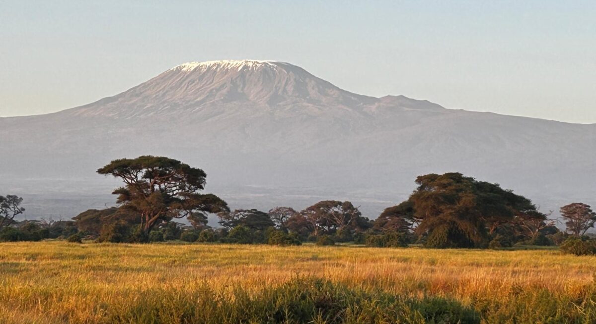
We left the Usambara Mountains and headed back to the coast to Saadani National Park.

We took a different way back than the way we came (up that steep escarpment if you recall) and it was an absolutely delightful and spectacular drive. The road was packed dirt, perfectly graded, and smooth driving – so nice when you encounter these roads unexpectedly. The road wound through the mountains, climbing and descending hillsides carved up into small farms with perfectly terraced gardens and traversing valley bottoms with rice patties and vegetable crops covering the floodplains. Everything was green and lush and so colorful. Often the backdrop included rugged mountain slopes with rocky outcrops. Unfortuntely, we were too mesmerized by the scenery and keeping an eye on the winding road with lots of blind corners to take any pictures or videos, so you will have to use your imagination.

Saadani National Park, encompassing 410 square miles, was officially declared a National Park in 2005 from the former Saadani game reserve. Saadani has been one of the most heavily contested Parks in Tanzania since the National Parks Authority designated the Park. Most of the local communities surrounding the Park, and formerly residing inside the Park, have fought the Parks Authority over the declaration and continue to dispute the authority of the government to declare the area as a National Park. However, apparently once the area was designated an official Park, the wildlife populations began to recover from overharvesting by both the big game hunters and poaching. Indeed, few visitors go to Saadani to see the wildlife, but rather to enjoy the miles of beaches and undeveloped coastline. Any wildlife observations are considered a bonus. As expected, we observed that the Park still has very low numbers of large mammals; we figured that it probably hasn’t been long enough for the populations to build. Indeed, we saw very few animals on our drives except in one location where the grass was short and the young shoots were sprouting from a not-so-long-ago prescribed burn. There, we saw lots of waterbuck, bohor reedbucks, impala and giraffe, but not much else. We did spend some time in the evening for sundowner at a small reservoir where we were rewarded with a troop of Angolan black and white colobus monkeys and a family unit of elephants, not to mention the beautiful malachite kingfisher. Overall, howover, the animals were quite shy still due to their long history of being hunted, so I only managed to get photos of a few animals (sorry, but they are rather grainy given the zoom I had to use):

Maasai giraffe
Waterbuck (male)
Bohor reedbuck
Malachite kingfisher
Monitor lizard

The habitat in the Park is sufficient to support lots of grazing and browsing animals, so perhaps it is only a matter of time before the populations fully recover. It could be another 50 plus years or more before there could be numbers enough to fully occupied the available habitat. Interestingly, Saadani is the only National Park in Tanzania, and all of East Africa for that matter, that harbors both marine and terrestrial habitats. Moreover, Saadani is one of the few breeding site for endangered Green Sea Turtles and the only Tanzania Park to protect mangrove forest. The coastal forest in this unique park also harbors the rare Black and white Colobus Monkey but we didn’t see any. Here are a few shots of the varied habitats in Saadani from our drives:

Woodland savannah in Saadani National Park
Grassland savannah in Saadani National Park
Grasslands in Saadani National Park
Woodland with Baobab tree in Saadani National Park
Seasonal pan in Saadani National Park
Saadani sunset

Like many of the Parks in Tanzania and elsewhere in Africa, the Parks do a terrible job of maintaining their roads. Many of the so-called “major” roads either turn into brush-encroached trails or are interrupted, without warning, by impassable barriers, such as washed out stream crossings. And even more frustrating are the road signs that direct you to a destination but there is no road; e.g., “Park headquarters ->” and you turn and look that direction and all you see is tall grass and bush- go figure? I am sure many, many years ago there might have been a track leading in that direction, but it has long since been rewilded, yet the Park keeps the signage to frustrate the self-drivers like us. Sorry, this is one of my pet peaves (Sherry, I can’t be a polyanna on this one, sorry). We encountered both of these situations on our drives:

Road impassable due to a washed out gulley
Do you see a road in either direction as suggested by this sign?

On a positive note, we camped at the beachside public campsite. Actually, the campground was no longer in use and supposedly being repaired (all evidence to the contrary), so we were allowed to set up camp in front of the nearby Guesthouse. It was a beautiful setting right next to the beach, which we had almost to ourselves. There were a couple local fisherman using their nets in the near-shore waters on occasion and a few Park visitors to the adjacent Bandas, but we saw almost nobody on the beach. We took advantage of the situation and had a refreshing dip in the warm Indian Ocean waters each midday. Here’s our campsite and sunrise view:

Our beachside campsite in Saadani Natinal Park
Sunrise from our beachside campsite in Saadani National Park

OH, and let’s not forget the sandy beach covered with sand crabs at night, and the African civits and genets in our campsite at night (see the video for footage of the civit):

Sand crab on Saadani beach

We took an evening boat ride on the Wami River on our last evening. We saw lots of hippos and crocs and several bird species, including the beautiful mangrove kingfisher, but the river didn’t have the character of other big rivers we have been on:

Hippos on the Wami River
Mangrove kingfkingfisher on the Wami River

Here’s a composite video of our visit to Saadani National Park:

Saadani National Park composite (6 minutes)

Unfortunately this was Nancy’s last safari. We are off to Dar es Salaam for two nights and then she flies home – argh!

New Species:

  1. Lichtenstein’s hartebeast
  2. Bohor reedbuck
  3. Blue-breasted bee-eater
  4. Long-tailed cormorant
  5. Dark chanting goshawk
  6. Long-tailed fiscal
  7. White-fronted plover
  8. Caspian tern
  9. Common sandpiper
  10. Mangrove kingfisher

July 10-12: MamboViewPoint

We left Amani Nature Forest Reserve in the eastern Usambara Mountains and headed west, albeit in a circular route as there is no direct route through the mountains, the mountaintop villages of Mtae and Mambo in the western Usambara Mountains.

The drive to our destination skirted the edge of the Usambara Mountains and allowed us to observe one interesting land use I would like to share. A large portion of the land was dedicated to growing Sisal, which we learned is a type of Agave plant (that we are familiar with in the southwestern U.S.) that was supposedly smuggled here from Mexico in 1893 by a German (remember, Tanzania, then named Tanganyika, was a German colony back then) in the stomach of a stuffed crocodile. Sisal is grown for the leaves, which are harvested, dried and processed for the strong fibers which are used to make rope/twine, clothing, and a variety of other products. At one point, Tanzania was the largest exporter of sisal in the world, and apparently it is still producing a fair amount of it. Anyways, we new nothing of sisal until seeing it on our drive and found it interesting to see all the sisal plantations and small processing “plants” (in quotes, because some aren’t more than a big shack). Here’s a photo of small-scale sisal plantation and one of live sisal plants with the shredded leaves hanging on drying racks:

Looking up towards the mountains from the valley with sisal along the road
Sissal plants (background) and drying racks (foreground)

We also found it interesting and impressive that on at least some of the smaller, more rural sisal farms, they were planting beans and corn in between the rows of sisal – which reminded us of planting the “3 sisters” of beans, squash and corn of our southwest – as shown here:

Sisal, beans and corn plantation

Our drive to our destination also involved a climb of about 4,000 feet over a distance of perhaps 10 km up an incredibly steep winding road with numerous hairpin turns that the Green Dragon could just barely make. There’s a short piece of footage that doesn’t do the drive justice at all, as we both forgot to video the drive during the worst part of the climb since we were so focused on staying on the road and listening to the Green Dragon strain. Put it this way, I was in first gear for 95% of the drive up the escarpment owing to the 20-25% grade on most of it. Here’s a view down to the valley below the escarpment – and you have to wonder how they put a road up that hillside:

Looking down the escarpment to the valley below

We stayed in a luxury cottage at Mambo Viewpoint Ecolodge perched on the edge of the Usambara Escarpment that drops off precipatously about 4,000 feet to the valley below. We were booked for a standard cottage – as a treat for Nancy after several days of camping in the Green Dragon – but they upgraded us to the honeymoon suite to accommodate another group – we didn’t protest, and I took credit for the upgrade claiming that it was for our belated 40th anniversity! Here’s a photo of our cottage and our sunset view (but see the video for a tour of the cottage inside and out):

Our cottage at MamboViewPoint Lodge
Sunset from our veranda at MamboViewPoint Lodge

Here’s a photo showing MamboViewPoint lodge (on the high point above the cliffs) and the precipatous cliff face of the escarpment below our cottage:

MamboViewPoint Lodge atop the cliff in the distance

Our lodging was “full board”, which meant all our meals were included. Here’s a shot of our breakfast view from the restaurant veranda. Not a bad view to dine with, hey! And the food was excellent. After the first night we also had the lodge almost to ourself; there was just one other guest the second night, but some bikers joined for the third night.

Breakfast on the deck at MamboViewPoint Lodge
Wine before dinner at sunset at MamboViewPoint Lodge

We spent a fair amount of time just enjoying the views and watching the bird life in front of our cottage. The most notable and beautiful species was the Malachite sunbird, which I happened to get a decent photo of, even with my phone camera:

Malachite sunbird

On our first full day, we hiked from the lodge along the escarpment on what was advertised as the “cliffside trail”. However, we quickly found out that the trail quickly disappeared and turned into a network of steep footpaths used by the locals to access their plots of land on the hillside. We meandered on footpaths until we reach a significant trail/road and then made our way into the center of the village for market day. We negotiated for some fresh produce that would not perish quickly, including some yams, carrots, onions and green peppers. Note, you haven’t really experienced Africa until you have mixed it up in an open street market and purchased items:

Me negotiating the price of onions

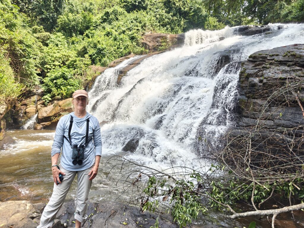
On our second full day we did a 7 mile trek through Shagayu National Forest Reserve, which is a partially protected montain cloud forest. Part of the Forest is industrial forestry; i.e., plantation forestry. The trek started out as a bird walk, but we quickly realized that not only did our guide not know the birds very well but that the vegetation was so dense that we couldn’t see the birds that were there, so we transitioned into what turned out to be largely an ethnobotony trek as our guide was extremely knowledgeable about the various human uses of many of the forest plants. Most of the trail was a wild and steep footpath that was created by local women from the adjacent villages accessing the forest for firewood and medical plants. Along the way we visited a beautiful waterfall that is in the video below and saw the striking black and white colobus monkeys:

Shagayu National Forest Reserve

Along the trail we also encountered a couple of tradional ritual sites that were quite intriguing. Apparently, many of the locals still believe in the spirit world and go to these sites to perform rituals to please the spirits. The ritual can involve cooking and leaving food for the spirits to eat and leaving money for them to spend (?????). These sites are also used by the “healers” to perform a bit of “black magic”; e.g., to bring people luck in the coming days. In fact, we met a party on the trail on the way to one of these sites, including the healer and a man and woman with two chickens that were going to be sacrificed, presumably to bring this supposedly already very rich man (according to our guied) more luck. Here’s a photo of one of these sites:

A black magic ritual site in Shagayu Forest

Here’s a composite video of our visit to MamboViewPoint Lodge and surroundings in the western Usambara Mountains:

MamboViewPoint composite (13 minutes)

OK, we are leaving the mountains and heading back to the coast to visit Saadani National Park, and Nancy’s last stop before Dar es Salaam. See you there!

New Species:

  1. Malachite sunbird
  2. Northern grey-headed sparrow
  3. Bar-throated apalis
  4. White-necked raven
  5. Hartlaub’s turaco

July 7-9: Amani Nature Reserve

First, blog business update: OK, I am totally mystified by the MailPoet App on my Blog that sometimes sends me an email notification when someone comments, but sometimes doesn’t, and, moreover, when I reply to the email sometimes it goes to the person submitting the comment and other times it goes to me. Go figure? Software is supposed to be objective and consistent, right? But I sometimes I think software has moods and opinions. Anyways, I have a new tatic that should allow me to reply to you directly via email, so I shouldn’t have to reply via the comment section in the post and you shouldn’t have to go to the comments section in the blog to find my reply.

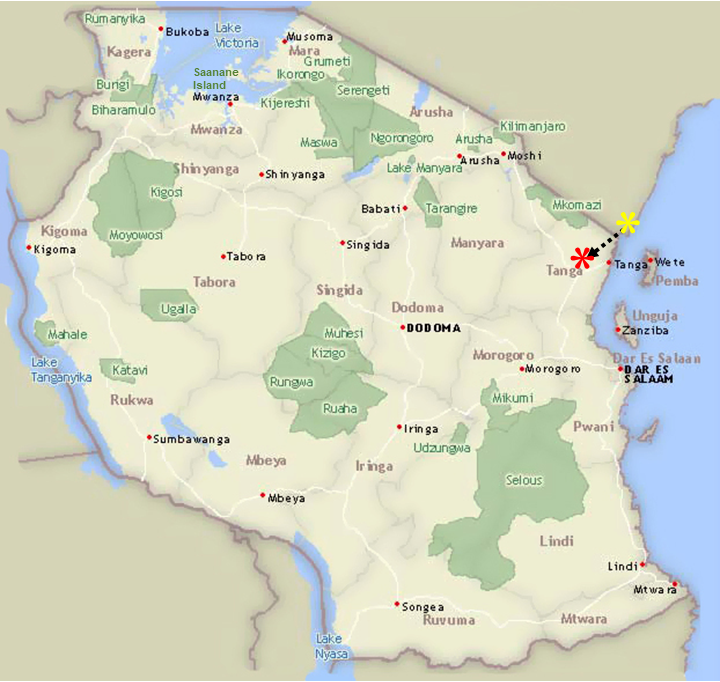
After leaving the village of Shimoni on the southern-most coast of Kenya, we crossed the border into Tanzania (pretty painless, except it took 1.5 hours due to all the paperwork required at this particular border crossing), and headed to our first destination, the Amani Nature Reserve, located in the Eastern Usambara Mountains in the far northeast of the country.

The Amani Nature Reserve, encompassing 32 square miles, was established in 1997 in order to preserve the unique flora and fauna of the Eastern Usambara Mountains. These mountains form the northern portion of what has been termed the Eastern Arc Mountains located in eastern Tanzania and southeastern Kenya. The Arc is an archipelago-like string of forest-capped mountains heavily influenced by the Indian Ocean climate, so they receive a lot of rainfall. The result is highly productive and diverse forest. The trees here for a dense canopy that rises 200 plus feet off the forest floor. Unfortunately, most of the mountains within the Arc have been deforested by local communities, so there are very few remnant montain forests left within the Arc. Udzungwa Mountains National Park (which we visited with Phil, Mary, Bill and Rick two years ago on our Tanzania trip) and Amani Reserve are two of the largest remnant montain forests within the Arc.

The East and West Usambara Mountains, home to the native Shambaa people, are considered a biodiversity hotspot and is listed as one of the top 12 bird-watching locations in the world by Bird Life International, and the Reserve is recognized as a Man and Biosphere Reserve by UNESCO. The Reserve’s rich biodiversity is partly because it includes an exceptionally wide range of ecosystems, including tall sub-montane evergreen cloud forests and deciduous to semi-deciduous lowland forests and numerous endemic species, including a dozen species of African violets, a dozen or so species of chameleons and numerous other species. Amani is perhaps most renowned for its bird diversity and number of endemics that draws hard-core birders, mostly from the states and U.K. We learned that eco-tourism has become the Reserve’s sole means of generating revenue and almost all of that is from international birders. It’s worth highlighting that birders do indeed provide a lot of support for international conservation, at least indirectly, through their efforts to see bird species. I picked up an additional 22 new bird species (see list below).
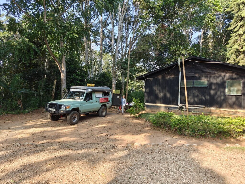
We camped at Amani Forest Camp next to the headquarters of the Reserve. Nothing spectacular about the campsite to note. For the first night we simply parked the Green Dragon on a dirt patch next to the cottages since there were no guests in the cottages and the “campground” was occupied by a group of students from the UK. In fact, it was quite noisy and busy all day and evening with people and motorcycles streaming by making noise. Oh, and let’s not forgot the incredibly irritating muslim prayers broadcast over loud speakers at pretty much all hours, including late into the evening and starting up again at 4:00 am. Here’s our first nights not-so-great camp site:

Our first night campsite at Amani Nature Reserve

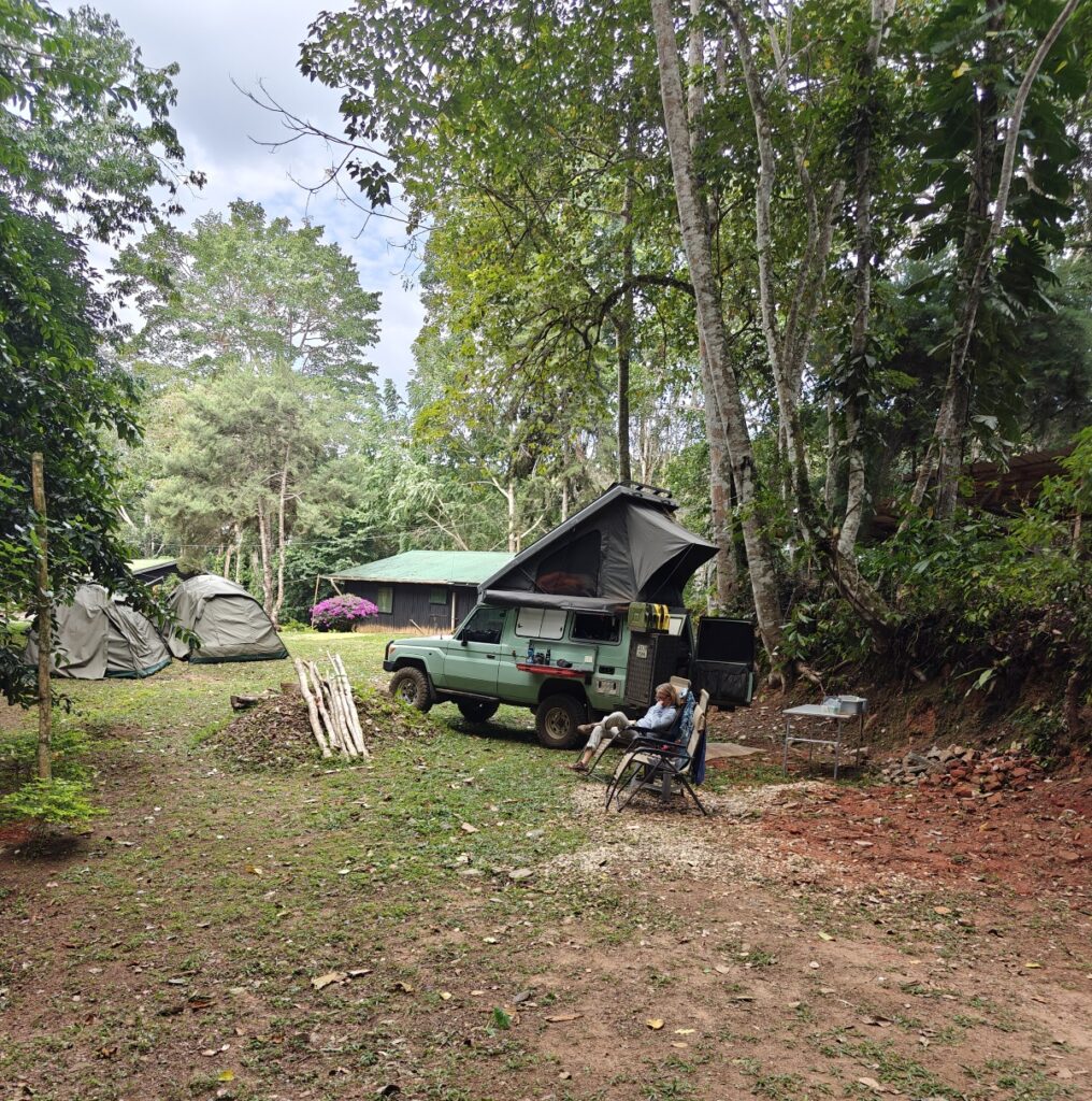
Fortunately, the school group left the following morning and we moved to a grassy patch on the other side of the cottages away from the road; also not a great location, but a bit less noisy. Here’s our new site:

Our second night campsite at Amani Nature Reserve

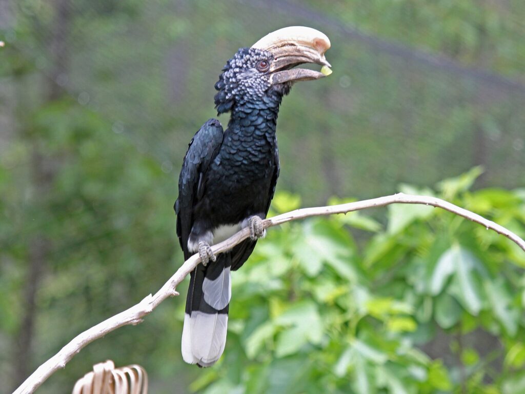
However, we didn’t go there for a great campsite – although that is always very welcome – but instead went to the mountains for a change in environments, having been in grassland and bush savannah and hot and humid coastal tropical lowlands for the past month, to stretch our legs on the many trails, and see some new wildlife species, as there were many new ones to see. One of the really cool new species we saw was the raven-sized Silvery-Cheeked Hornbill. This bird was all around our campsite and all over the forest everywhere we hiked, flying this way and that in the canopy, making a ruckus, but never allowing me to get a picture worth showing, so I am going to show you this picture from the internet:

Silvery-cheeked hornbill

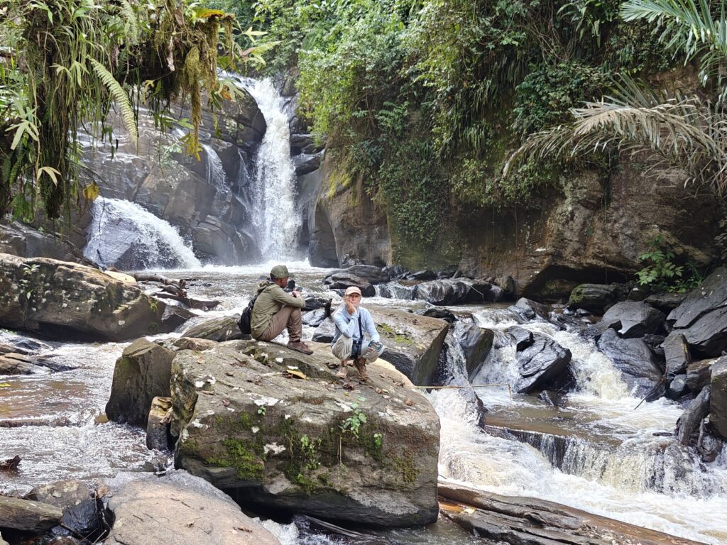
On our first full day, in the morning we hiked to a couple of different waterfalls (with a guide which was required) and along the way stopped at a tea farm and a local (i.e., small-scale) spice farm. Here are a few photos:

On the way to one of the waterfalls in Amani Nature Reserve
Local Saamba kids coming back from school
One of the waterfalls in Amani Nature Reserve

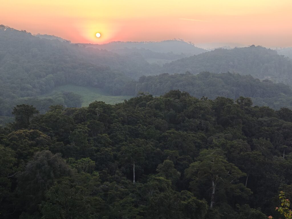
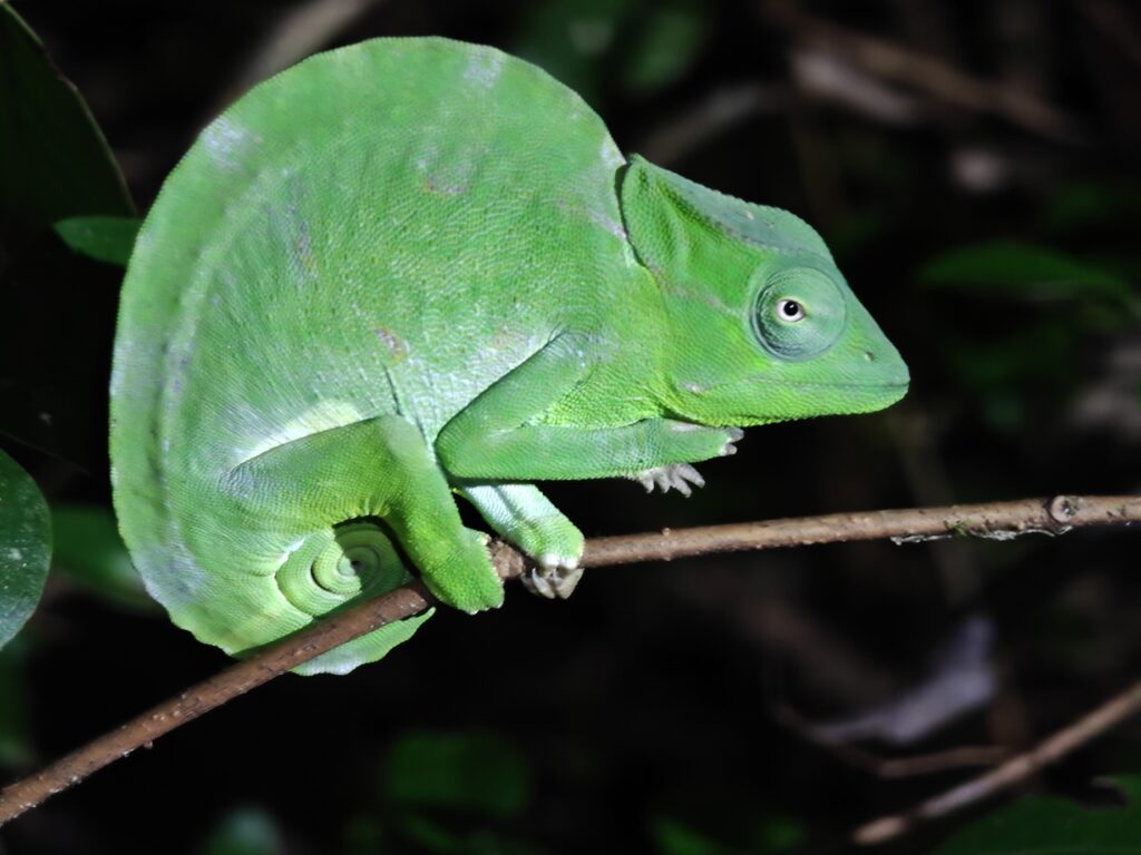
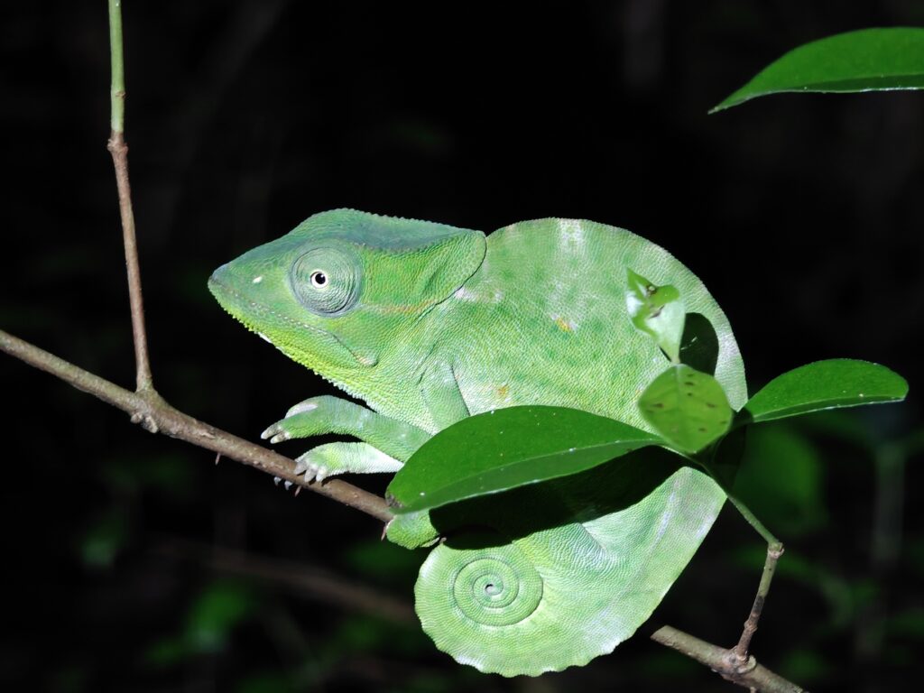
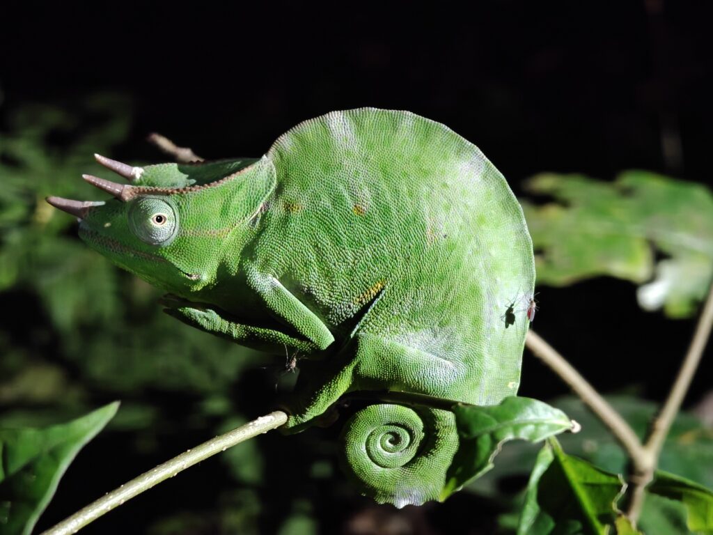
In the evening, we hiked up to a viewpoint of the mountains for sunset and then walked back in the dark. The highlight of the night hike back to camp was spotting three different species of chameleons (and lots of them). Note, I didn’t spot any of these; the guide somehowe did, but it completely baffled me how (Nancy was much better at seeing them once the guide pointed them out):

Sunset in the eastern Usambara Mountains
Two-horned chameleon (female)
Three-horned chameleon (male)
Pygmy chameleon
Pygmy chameleon (sleeping)

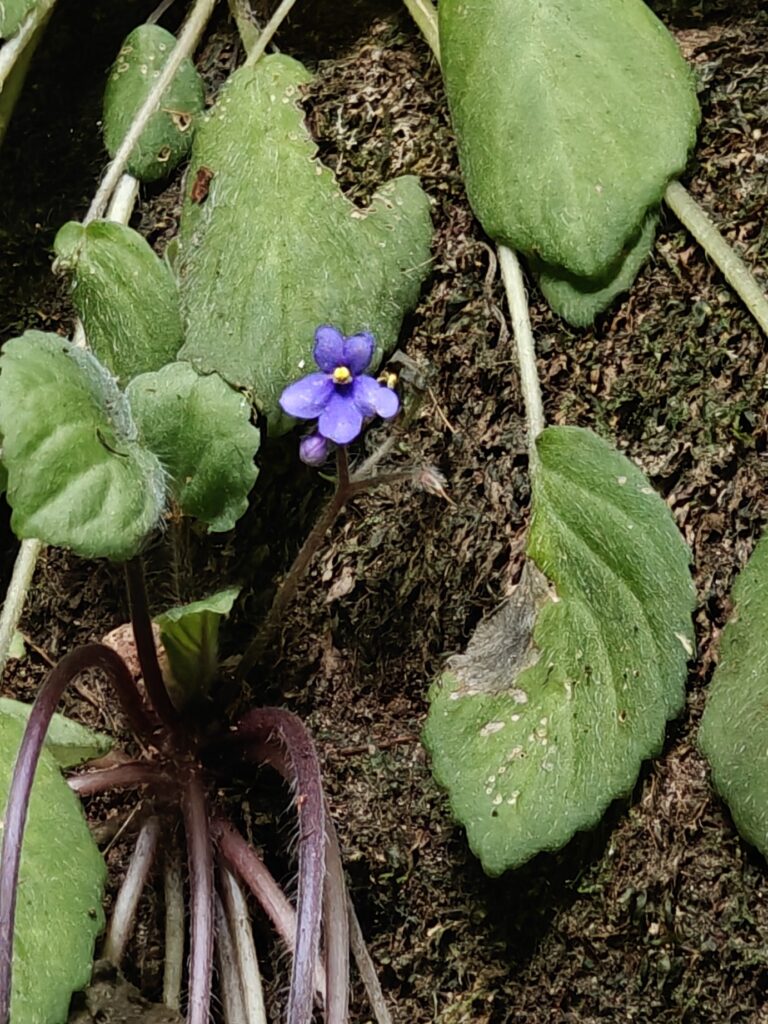
On our second full day, we went birding with local guide in the morning and went looking for African violets (flowers) in the evening. Here are a few photos:

Local Saamba woman we met and bought some bananas from
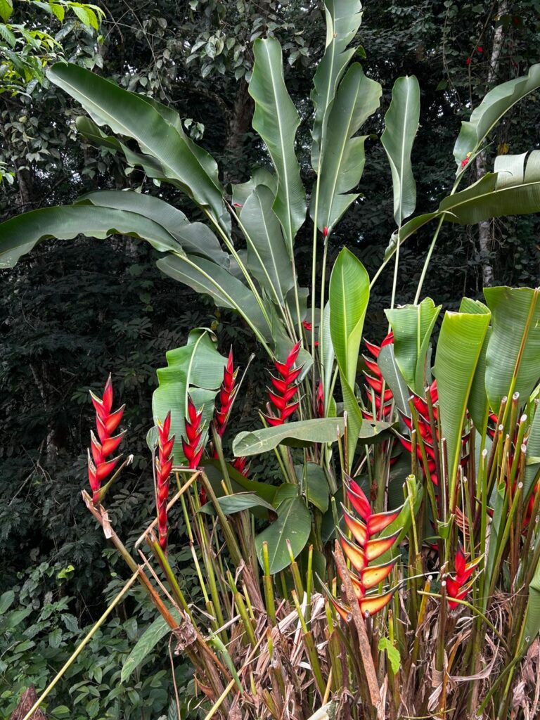
Just a beautiful flowering plant
African violet

And for the action lovers, here’s a composite video of our visit to Amani Nature Reserve that includes a footage of our drive, but most of the footage is of our hikes to the waterfalls, the tea farm, the small spice farm and to see African violets, with a little soccer thrown in for good measure, but no wildlife in this one:

Amani Nature Reserve composite (15 minutes)

Here’s a 43 second clip of our birder guide that didn’t make it into the composite before I posted it, in case you are interested:

OK, we are off to even higher elevations in the western Usambara Mountains. See you there!

New Species:

  • Silver-cheeked hornbill
  • Green-headed oriole
  • Black sawwing
  • Fisher’s turaco
  • Cabanis greenbul
  • Yellow-streaked greenbul
  • Little greenbul
  • Black-fronted bushshrike
  • Short-tailed batis
  • Pale batis
  • Red-tailed rufous (ant-) thrush
  • Green barbet
  • White-eared barbet
  • Southern citral
  • Banded sunbird
  • Amani sunbird
  • Collared sunbird
  • Waller’s starling
  • East coast (Zanzibar) boubou
  • Common waxbill
  • Marsh warbler
  • African dusky flycatcher

June 30 – July 3: Zanzibar

After our one-night stand in Mombasa, Nancy and I took a short flight to Zanzibar to meet back up with Caitlin. We left the Green Dragon in the “safe and secure” hands of the Mombasa International Airport security!?

The main island of Zanzibar Tanzania

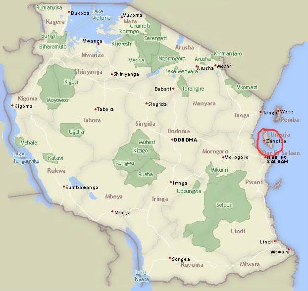
Zanzibar is an insular semi-autonomous region (actually, some 50 or so islands, but only a few are large enough to be inhabited) which united with Tanganyika in 1964 to form the United Republic of Tanzania. It is an archipelago in the Indian Ocean, 16–31 miles off the coast of the African mainland, and consists of many small islands and two large ones: Unguja (the main island, referred to informally as Zanzibar) and Pemba Island. The capital is Zanzibar City, located on the island of Unguja, and its historic center, Stone Town, where we stayed, is a World Heritage Site.

Zanzibar is a major producer of spices, including some of my favorites: clove, nutmeg, cinnamon and black pepper. Indeed, the Zanzibar Archipelago, together with Tanzania’s Mafia Island, are sometimes referred to locally as the “Spice Islands”. We hired a guide to take us on a tour of historic Stone Town and we purchased some fresh spices (cinnamon, vanilla, paprika and more) from one of the local shops. Zanzibar is also a major producer of raffia, which is a natural fiber that comes from the leaves of the Raffia palm tree used in crafts, fashion, and home decor due to its versatility and durability. Tourism in Zanzibar is a more recent activity and has skyrocketed over the past several decades. Tourists, like us, come to Zanzibar not only to explore the island’s culture and history, but also to relax and play on the many beaches. We are here, in part, to enjoy snorkling in the near-shore waters. Caitlin also took advantage of her two days alone prior to our arrival to go scuba diving off one of the nearby islands.

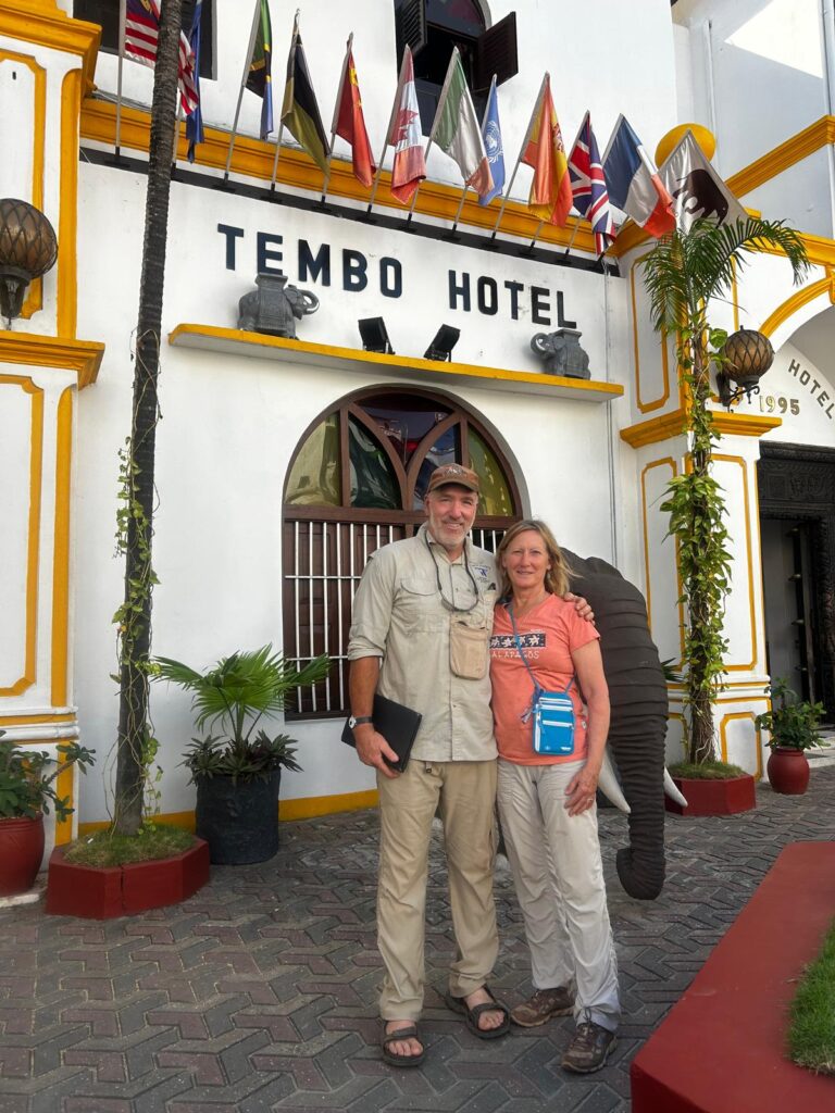
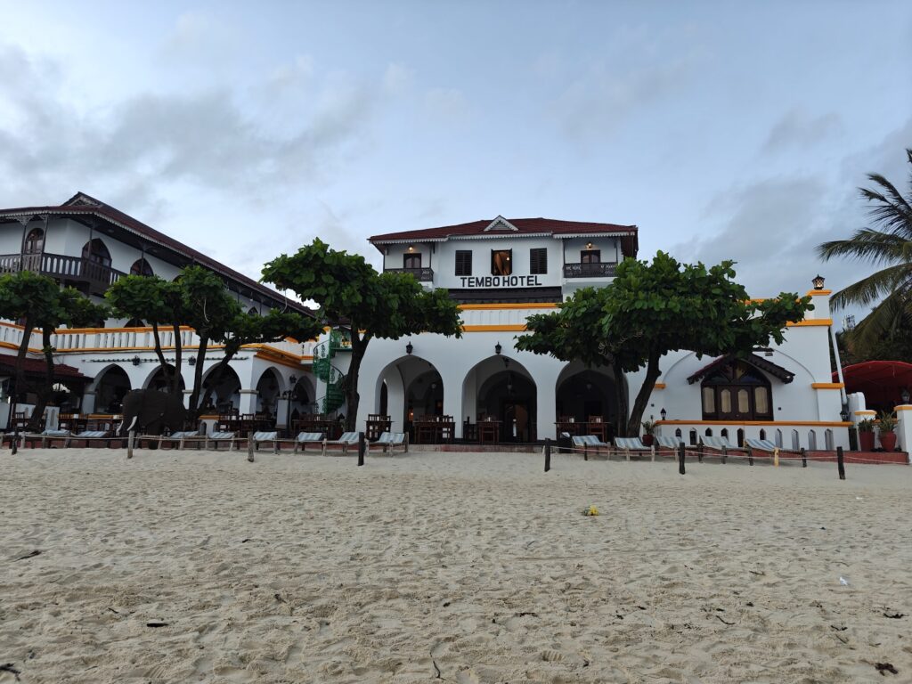
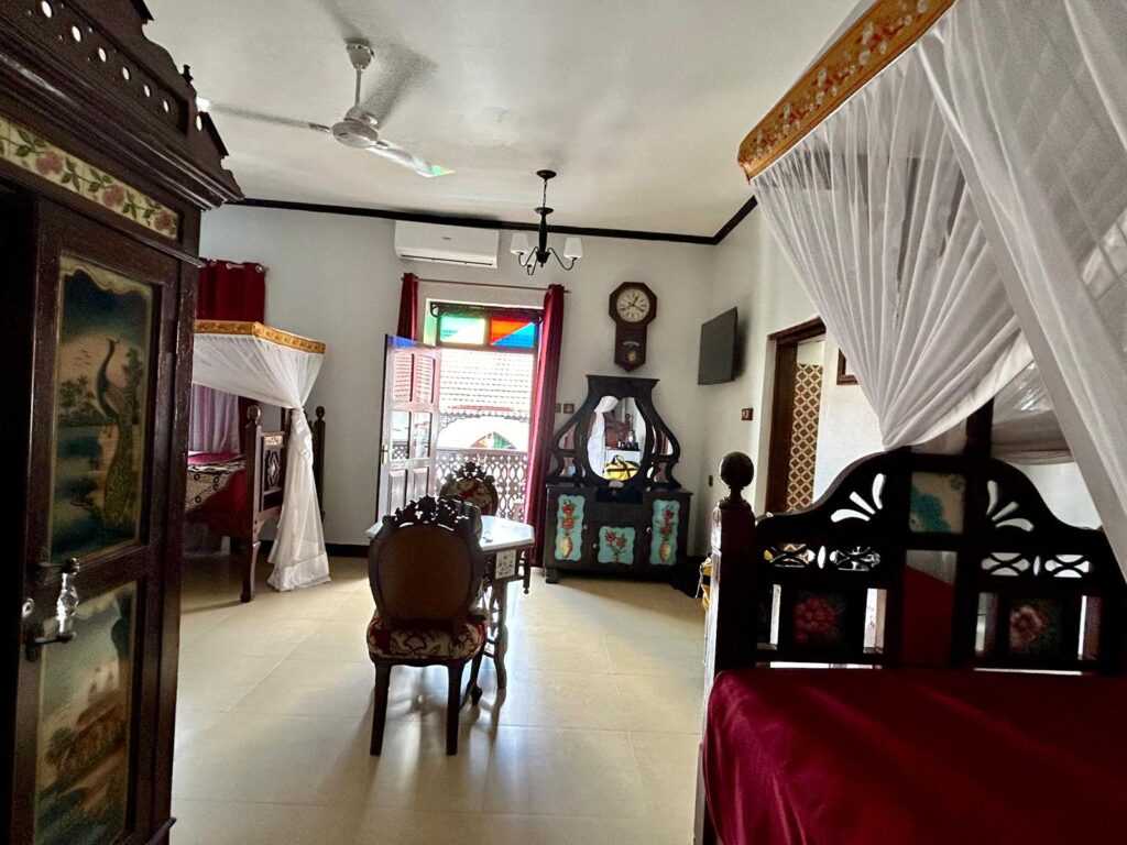
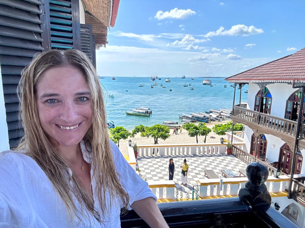
We stayed at the beachside Tembo Hotel, which was an historic building (1883) and it had every bit the feel of one too. We had a single room with 3 beds and large bathroom overlooking a pool and a partial view of the beach and ocean. The hotel opened right onto the beach which provided quick access to the beach and very nice beachside tables for meals. We had several sunset dinners next to the beach. Here are a few shots:

The Tembo Hotel
Our Tembo Hotel from the beach
Our Tembo Hotel room
View from our Tembo Hotel room balcony
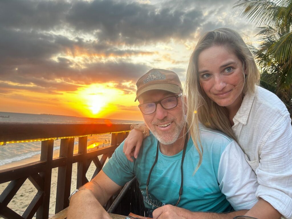
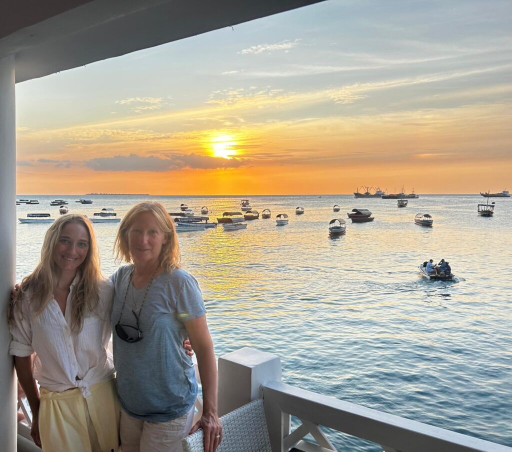
Sunset dinner in Stone Town
Breakfast from our hotel beach patio
Sunset dinner at the Fish Market restaurant
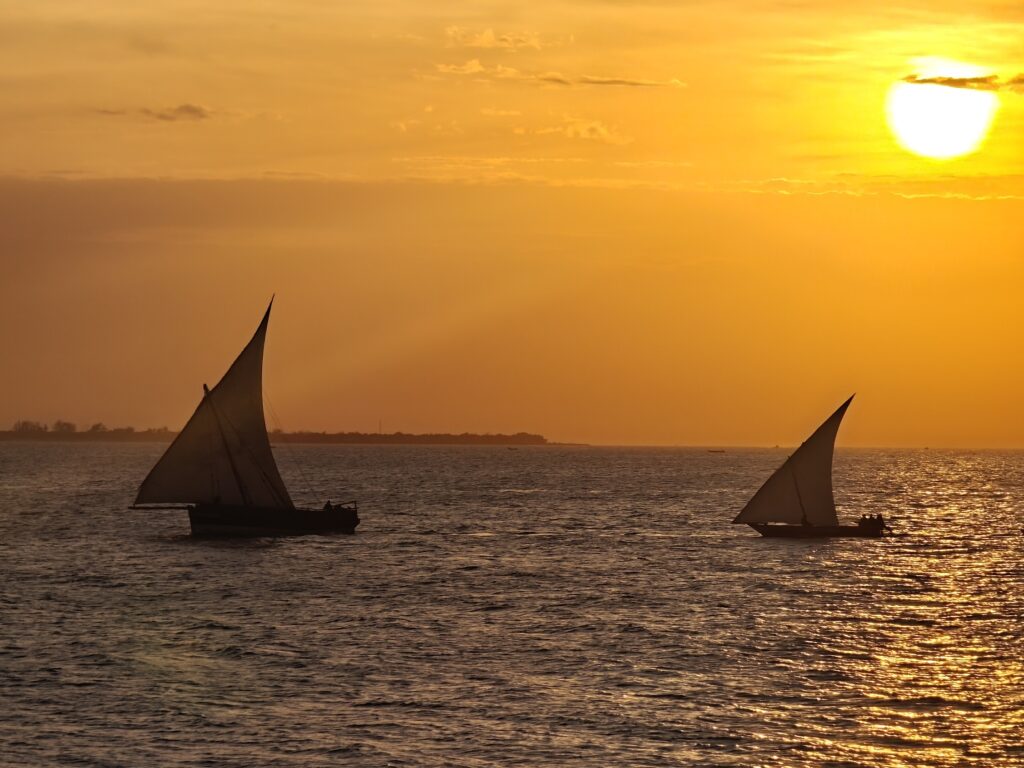
Just another beautiful sunset from our beachside dining

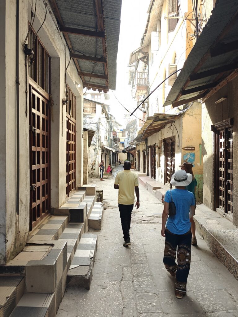
We walked the maize of narrow “streets” (motorcycles and pedestrians only) of Stone Town with a guide to learn some of the history. The town is literally a complex maize of narrow streets and alleys, and it is almost impossible to navigate without getting lost. Here’s what many of these streets and alleys look like before the daily hustle and bustle began:

Walking Stone Town’s streeets with a guide
Walking the streets of Stone Town with a guide

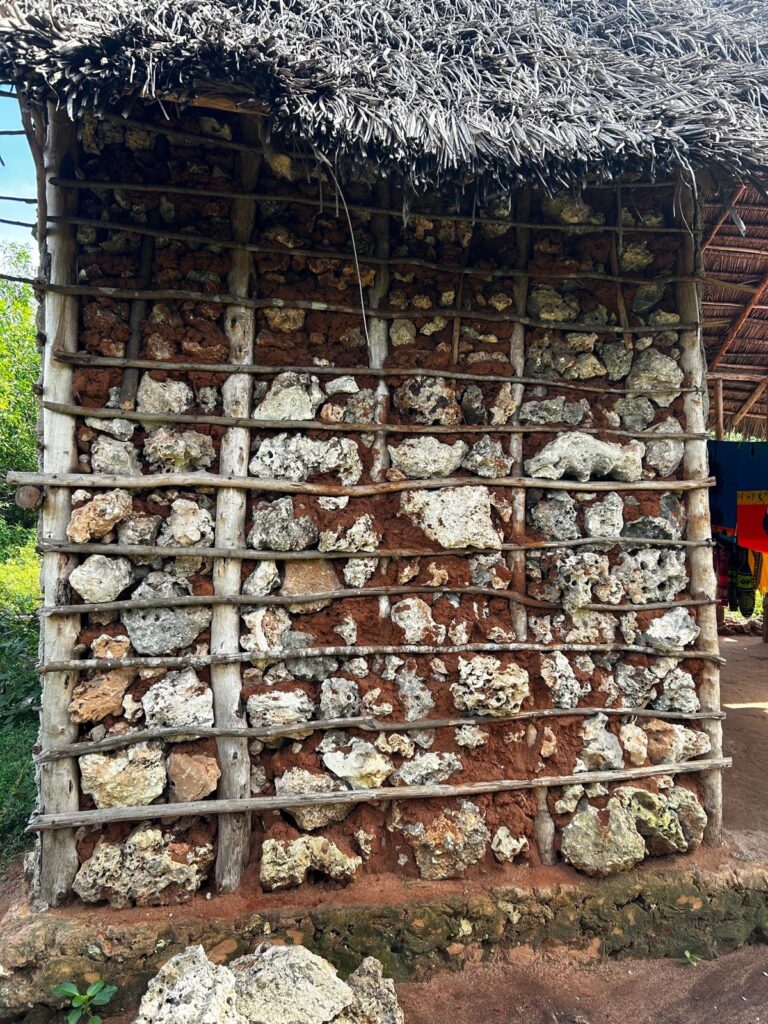
Most of the tour focused on the architectural history owing to the Arab and Indian cultures that largely built the city, but what I found interesting was that all of the stone buildings were built from coral mined from the nearby coral reefs, which were cut into blocks and mortared together along with a smoothed surface. Given the number and size of the stone buildings here, the construction of this town must have decimated the coral reefs (see the video below for a snippet showing the coral block construction of an historic Omani fort). See the video for footage of an old Omani Arab fort in Stone Town built from coral like the rest of the buildings, but here’s shot of the coral block construction used by locals in a rural farm setting:

Coral mud and stick construction for local house

Zanzibar has a rather rich and varied history, and much of it nothing to be proud of. Beginning in 1503, the Portuguese were the first non-native people to colonize the islands and oppress the native bantu people. Portuguese possessed the islands for nearly two centuries. The Portuguese mostly treated Zanzibar as a trade depot and left the local chiefs to rule the people. Eventually, however, after a century and a half of more or less peaceful rule, things changed and the Portuguese exerted a more powerful control over the islands. By the end of the 17th century, the local people had enough of the Portuguese and invited the Arab muslims from Oman to rule the islands, which they did for the better part of two centuries, when the British and Germans started to take over control of the region. These two European powers struggled to dominate the islands until eventually the British won out and it became a Brittish protectorate in 1890, although it remained a sovereign state under the rule of the Arab Sultans, until the British rule ended in 1963 and Zanzibar briefly became an independent nation until it formally merged with the mainland Tanganyika in 1964 to become the Republic of Tanzania.

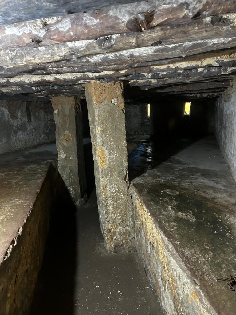
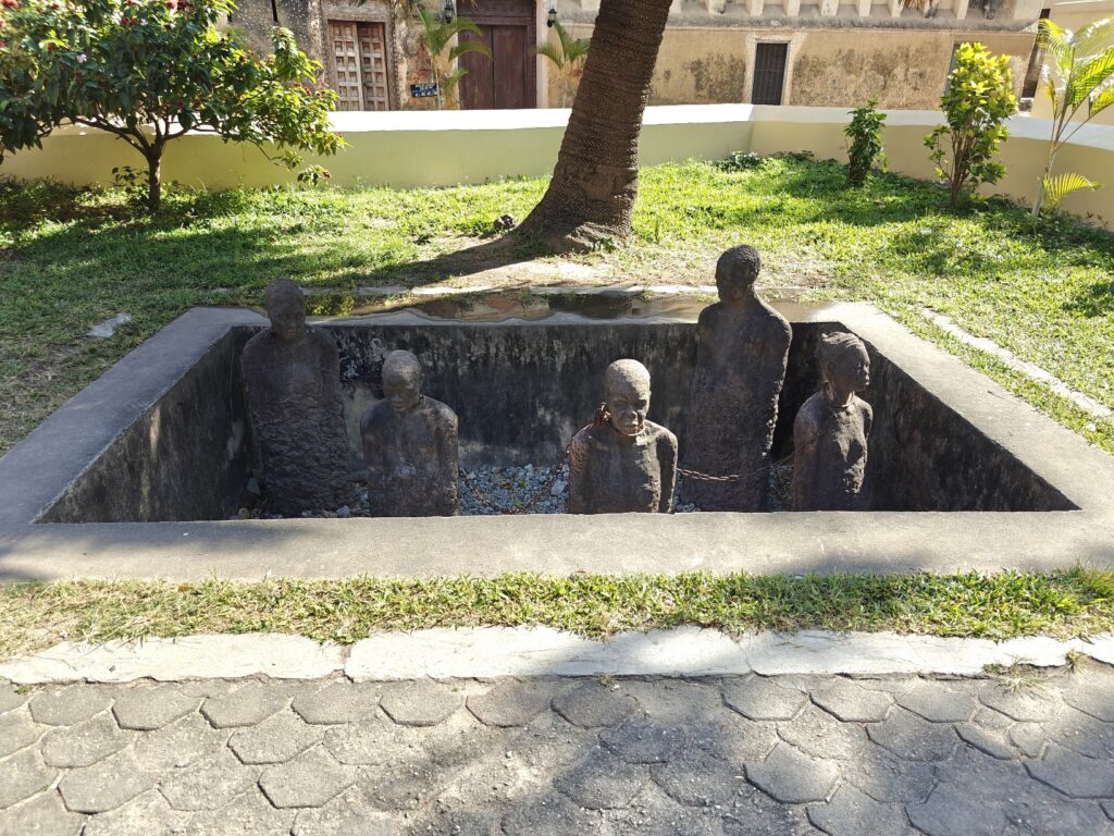
The dark history of Zanzibar under the Arab Omani rule was the trade in slaves from the mainland. Zanzibar was a major center for capturing and enslaving native black Africans from the mainland for export to the Middle East. Zanzibar was the center of the East African slave trade for two centuries or more, and hundreds of thousands of slaves were marketed here. We visited the site of one of these slave markets in Stone Town and saw the below-ground holding cells where the slaves were kept before sale, and where many died. Here’s a picture of a memorial to the slaves and the slave chamber itself:

Slave chamber in Stone Town
Memorial to slave trade in Stone Town

On our second full day we did a snorkling trip on the far side of the island; specifically on coral reefs surrounding a small island named Mnemba owned by Mr. Bill Gates. The trip gave us a chance to see the rural countryside of Zanzibar (i.e., where the locals live and work), which was nice, and the water for snorkling was relatively clear and warm enough for a couple one hour snorkles on different reefs, and an opportunity to walk on some white sandy beach. Here are some photos:

Bill Gates owns this island with a resort and we snorkled on the nearby reefs
Me snorkling while Caitlin and Nancy warmed up between snorkles
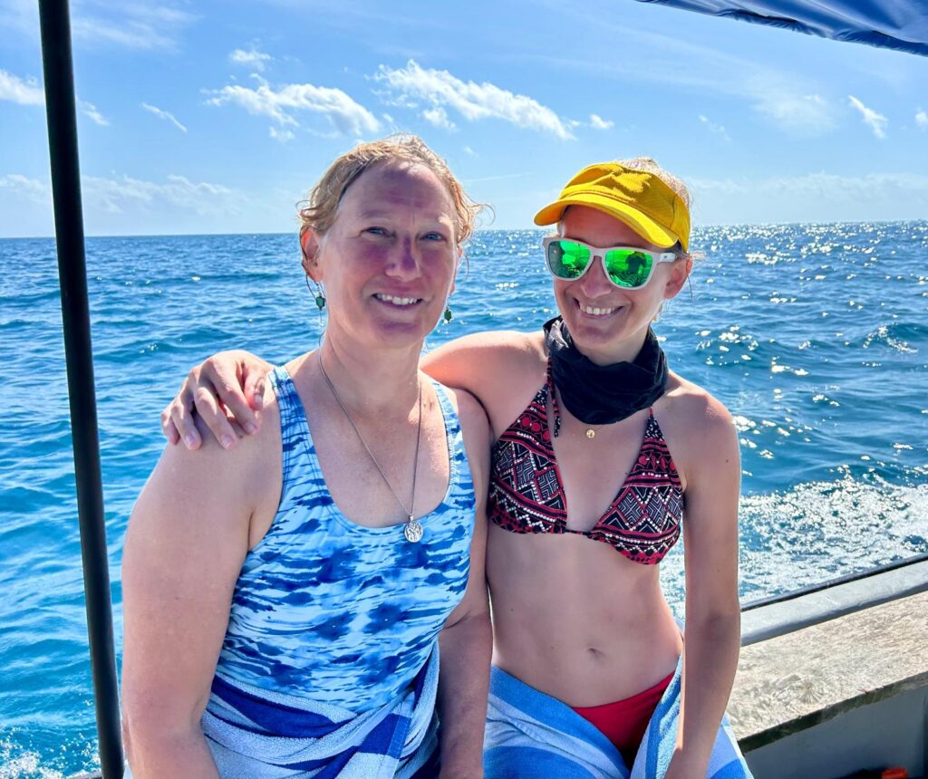
Nancy and Caitlin the boat ride to the reef
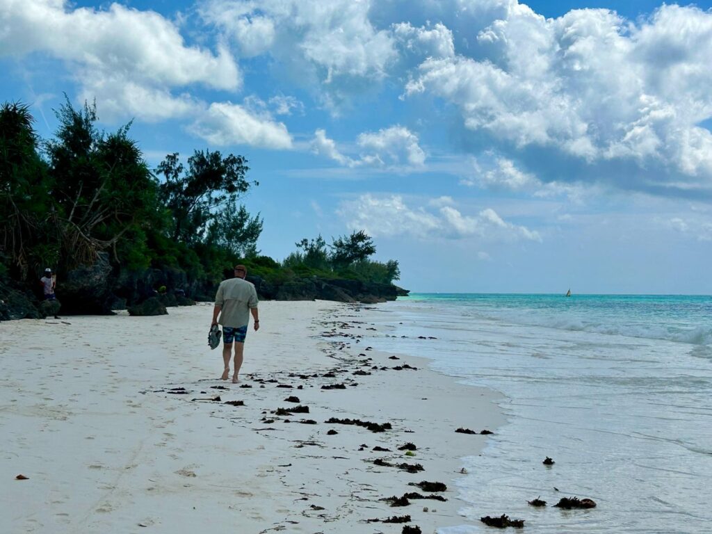
Walkking the white sandy beaches of Zanzibar

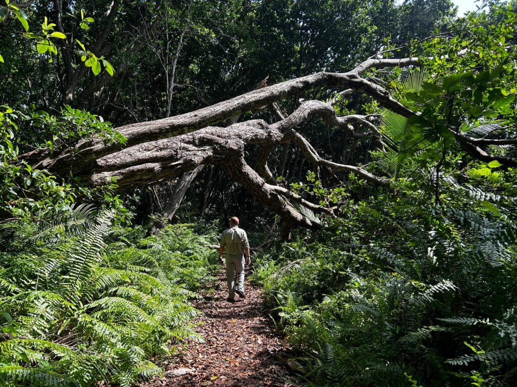
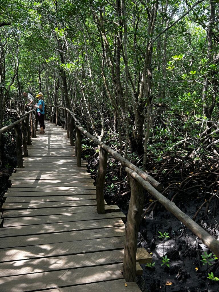
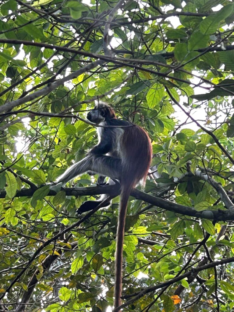
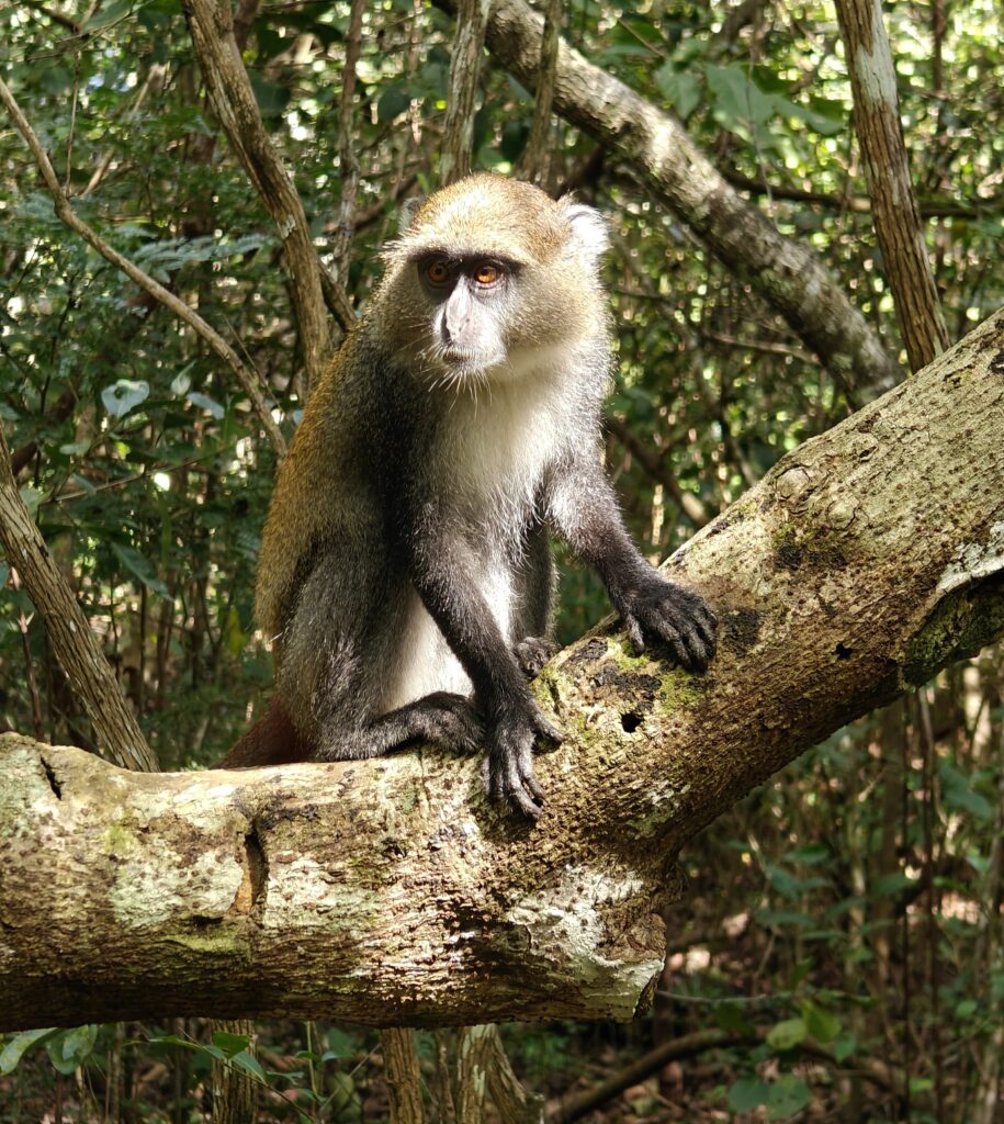
On our third full day we took a guided walk in Jozani-Chwaka National Park, Zanzibar’s one and only national park and a UNESCO Biosphere Preserve. It’s a rather small Park at 19 square miles surrounded by extensive developed land, so it acts as an “island” for many species. You are required to have a guide in the Park and we had a great one, a young man named Thabit who was one of the few guides trained to identify birds. He rarely gets visitors interested in birds as well as other wildlife so he was excited to go birding with us. Almost all visitors come to see the Zanzibar red colobus and Blue (or Sykes) monkeys. We walked the buffer zone of the Park, which is lived on and farmed by locals who get compensated for any animal damage such as lost crops, walked the mahogany forest and the coastal mangrove forest in search of all things animal. We saw lots of new mammal and bird species. A highlight was watching a black and rufous elephant shrew which is 9-12 inches long not counting the tail, essentially the size of a Norway rat, but way more beautiful and interesting. There is a great piece of footage in the composite video below. Another highlight was the close encounters with both species of monkeys, also with some good footage in the video. Here are some photos of our visit, but see the video for more action and narration:

Birding in the farmed buffer zone of Jozani National Park
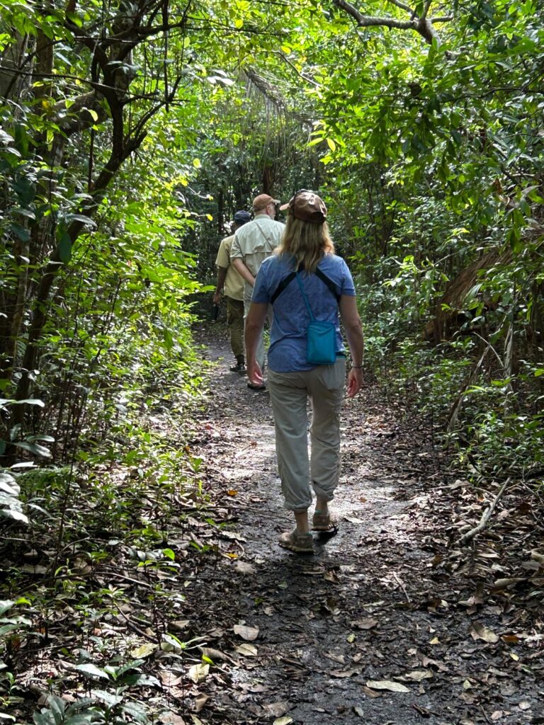
Exploring the trails in Jozani National Park
Exploring the mohogany forest of Jozani National Park
Exploring the mangrove forest/swamp of Jozani National Park
Zanzibar red colobus monkey
Blue (Sykes) monkey
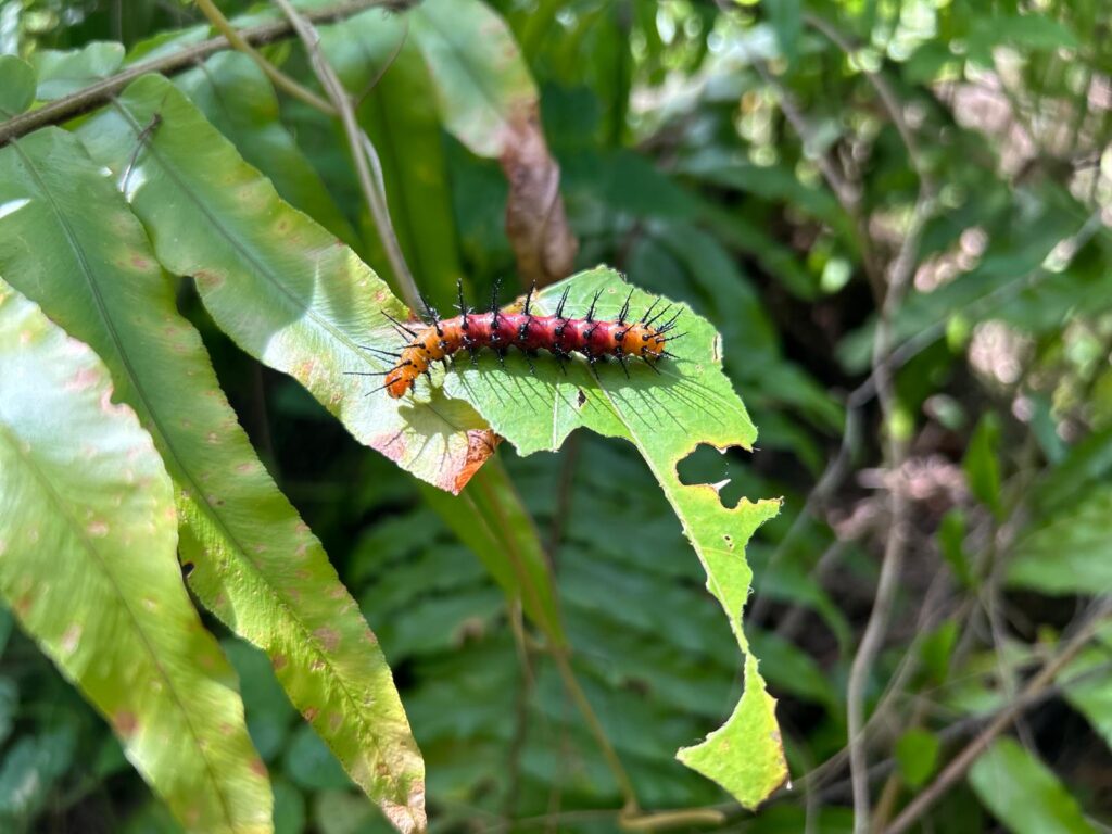
Just a really pretty caterpillar

The composite video below has footage of our hotel accommodations plus all of our outings, including our historical walk of Stone Town, our snorkling trip and our visit to Jozani National Park. Be sure to look out for “Einstein” the red colobus – you will know why we dubbed him Einstein when you see him:

Zanzibar composite video (8 minutes)

From the Wildside:

“I feel like I have a monkey on my head”

New species:

  • Zanzibar red colobus monkey
  • Black and rufous elephant shrew
  • Aders duiker
  • Red-bellied coastal ground squirrel
  • Zanzibar sand squirrel
  • Brown noddy
  • Olive sunbird
  • Purple-banded sunbird
  • Black-and-white manikan
  • Zitting cisticola
  • Sombre greenbul
  • Red-capped robin-chat
  • Green-backed woodpecker
  • African crested flycatcher
  • Forest weaver
  • Green malkoha