After my one-night stand at Mwabvi “Wildlife Reserve” (note, wildlife reserve is in quotes because there wasn’t much of a reserve or wildlife), I headed south to the southern tip of Malawi and across the border into Mozambique. Here’s a map showing my intended route out of Malawi, with an en route stopover somewhere on the way to Gorongosa National Park. But TIA had other plans!

The crossing was very quick and simple as, once again, I was the only one crossing this remote, little used border post. But why so little used, I wondered? The map showed this to be a direct route south across the Zambezi River and on to Gorongosa National Park, my next destination. One of the border post staff that spoke some broken English indicated that I might not be able to drive through, but there seemed to be some conflicting information and advise amongst the border staff, and both my Garmin Navigator and Google Maps showed the direct route and directed me to go that way. After two hours drive on dirt track past small villages I ended up at the Zambezi River, only to find out that indeed there was no longer any bridge for vehicles, just a railway crossing, and the car ferry had broken some time ago and was rusting on the river bank. OK, what to do? There was a route east across the Shire River and then turning south back down to the highway heading on to Gorongosa – Great! No such luck, because This Is Africa (TIA) afterall. The bridge over the Shire was washed away some time ago and that boat ferry was also out of business, with no immediate plans to fix it and resume business. Options? Turn back to Malawi and drive all the way back to Mulanje (the site of my backpack trip) and across the eastern border post, and then make my way south again. Not a terrible option, except I would have to retrace my steps for probably 6 hours or so and cross two borders, one back into Malawi and another back out of Malawi, with each crossing taking some time and costing some money. Not something I could look forward to.
My final option was to drive 300 km on a dirt/gravel track – a major secondary road – west along the Zambezi all the way to the relatively big city of Tete, cross the big river there, and then head back east 250 km to Gorongosa, but on on tarmack after Tete. Just as I was leaving the Zambezi to start the grueling drive to Tete, a young man hailed me and with body language – since he spoke no English, indeed almost no one in the rural parts of Mozambique speak any English – convinced me that his friend had a boat that could ferry me and the Green Dragon across the Zambezi. I loaded him into the Green Dragon and we headed back to the River. It turned out that his “friend” did indeed have a boat, but it was a 20 foot wooden monohull (very much Dhow like) that he wanted to strap planks across the gunnels and have me drive on in a perpendicular orientation to the keel. My front and rear wheels would probably have been either sitting on the gunnels or may have extended beyond the gunnels. Can you picture this? He could, and tried to show me a picture of having done it, but neither he or his 10 buddies hovering around us could show me a picture. Needlesstosay, I opted out of that option and took the long and tortuous two-day drive out to Tete on rough native surface, across the river, and back on intermittantly pothole-ridden tarmack . Big-rig trucks trying to avoid bad potholes or passing other trucks on blind curves almost ran me off the road 3 times. Two days of TIA madness! Aren’t you glad you are enjoying this from a comfortable couch?
Gorongosa National Park, established as a game reserve in 1920 and later in 1960 declared a national park and covering 1,500 square miles, is located at the southern end of the Great African Rift Valley. The park comprises the valley floor and parts of surrounding plateaus and rivers originating on nearby Mount Gorongosa (6,112 ft) that drain into Lake Urema – a large lake in the middle of the Park, and includes a mixture of woodlands, savannahs and extensive floodplain grasslands. The Park doesn’t have the appearance and the feel of the rift valley settings in Kenya and Tanzania, as there are no dramatic escarpments to be seen, at least from the part of the Park I visited. Here are a few shots of the landscape as seen on my walking and driving safaris. Note, Gorongosa NP doesn’t allow self-drive safaris yet for a variety of reasons, mostly due to the aggressive elephants that haven’t habituated to humans yet after many years of persecution during the civil war (but this is changing with each new generation of elephants), so I had to go on guided safaris with other visitors (one birding walk, one morning drive and two afternoon drives).
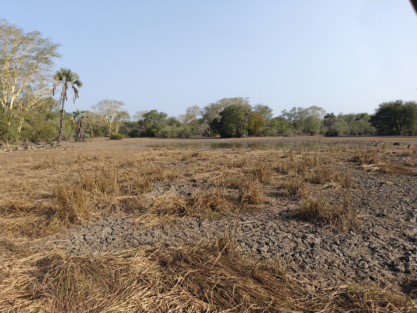
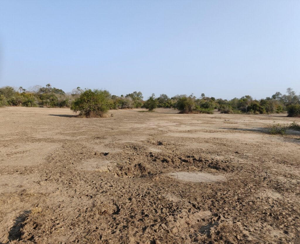

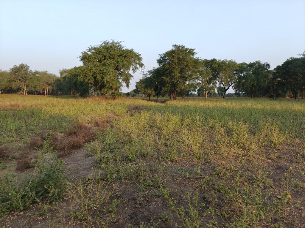
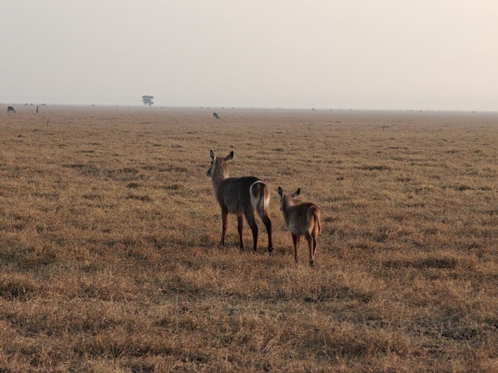
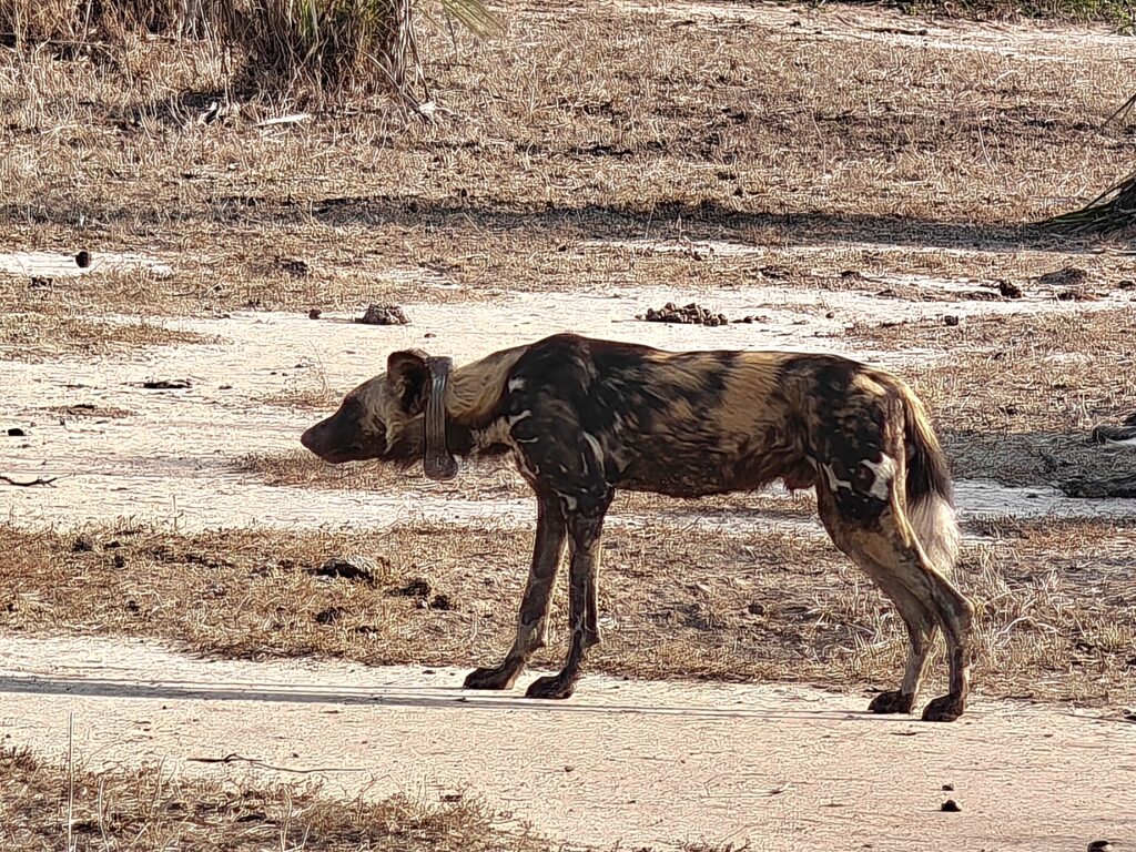
Gorongosa National Park is yet another story of a southeast African Park that lost an estimated 95% of its large wildlife due to rampant poaching and the bloody civil war (1977-1992). After the civil war, the authorities recognized the opportunity for ecotourism based on wildlife conservation and started concerted efforts to restore the wildlife and ecology of the Park, very similar to what we saw in Malawi at Liwonde and Majete. Progress was slow at first, This Is Africa after all, but in 2008, the Government of Mozambique and the US-based Carr Foundation formed the “Gorongosa Project”, a 20-year Public-Private Partnership for the joint management of the Park and for human development in the communities near the Park, and they began a rehabilitation and reintroduction program to bring back many of the large mammal species that were lost. Of particular note has been the successful reintroduction of wild dogs (or African wolves as they are called here) in 2018 (now a population of 200 or so and enough that they are now supplying dogs for reintroductions to other Parks and Reserves), and in just the past few years they successfully reintroduced leopards (although still only a half dozen or so animals and rarely seen). The cheetah reintroduction has thus far failed. Of the 4 animals released, one died trying to kill a waterbuck, 2 others were poached for their skins and the lone surviving individual just disappeared. Hopefully they will try again becuase the habitat is certainly there for these cats. Time will tell, but along with the recovering lion population, it looks promising for the large cats and other predators since the populations of antelope species have rebounded providing the essential food source for these top predators.
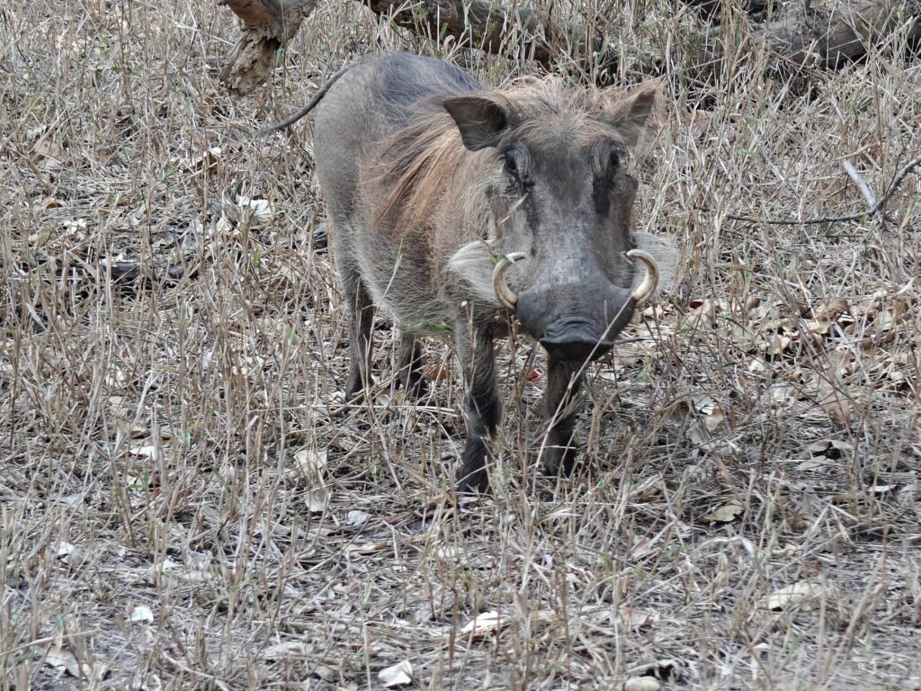
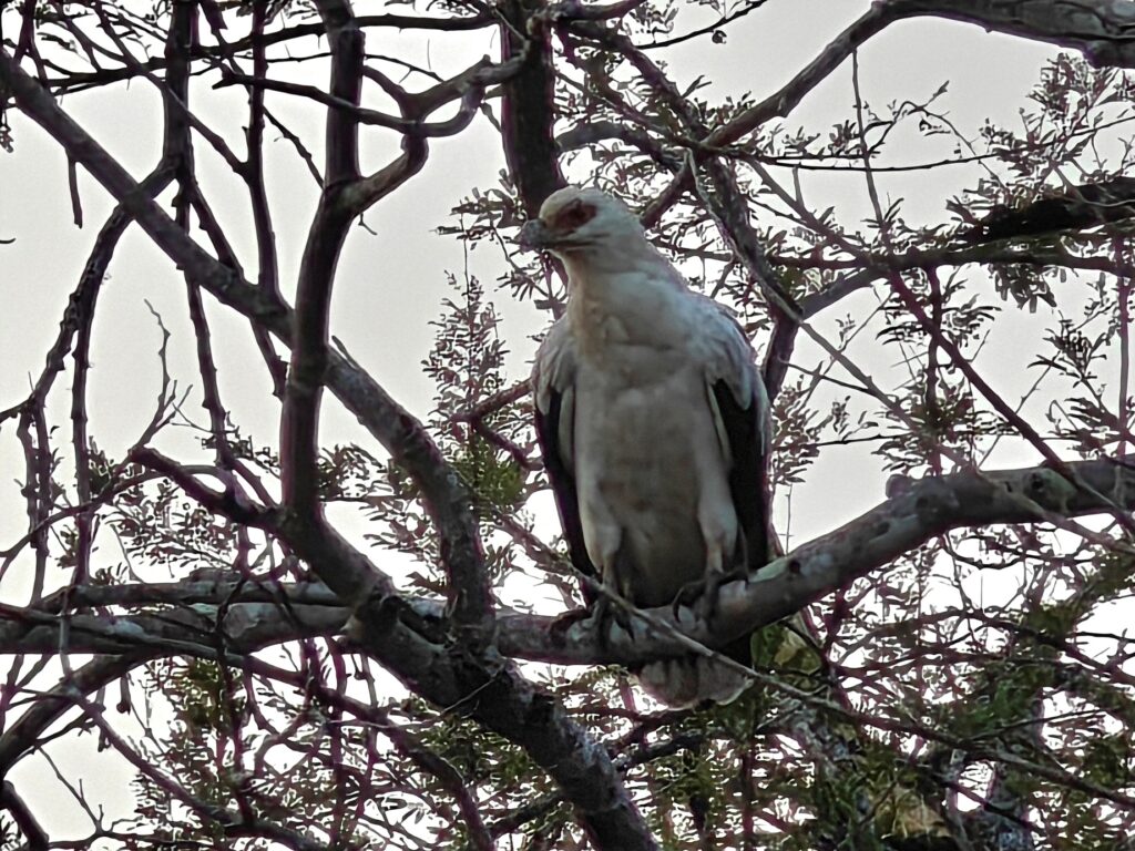
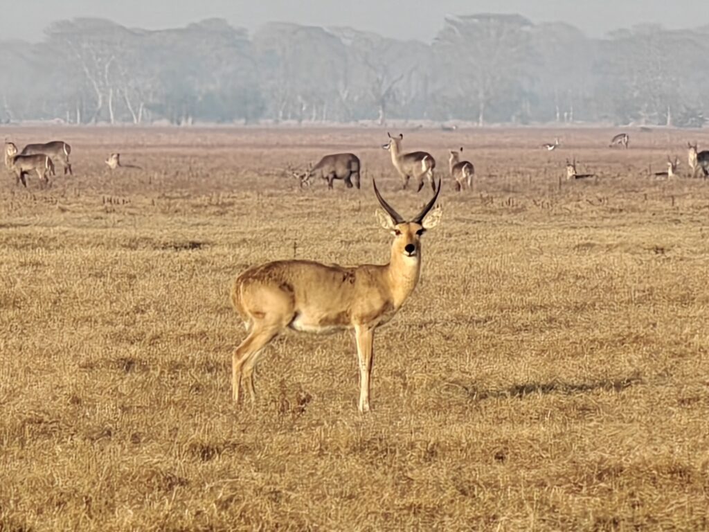
Here are a few shots of some of the wildlife I observed, but I wasn’t able to capture the massive (i.e., many thousands) numbers of waterbuck I observed in the woodland savannahs and floodplain grasslands.

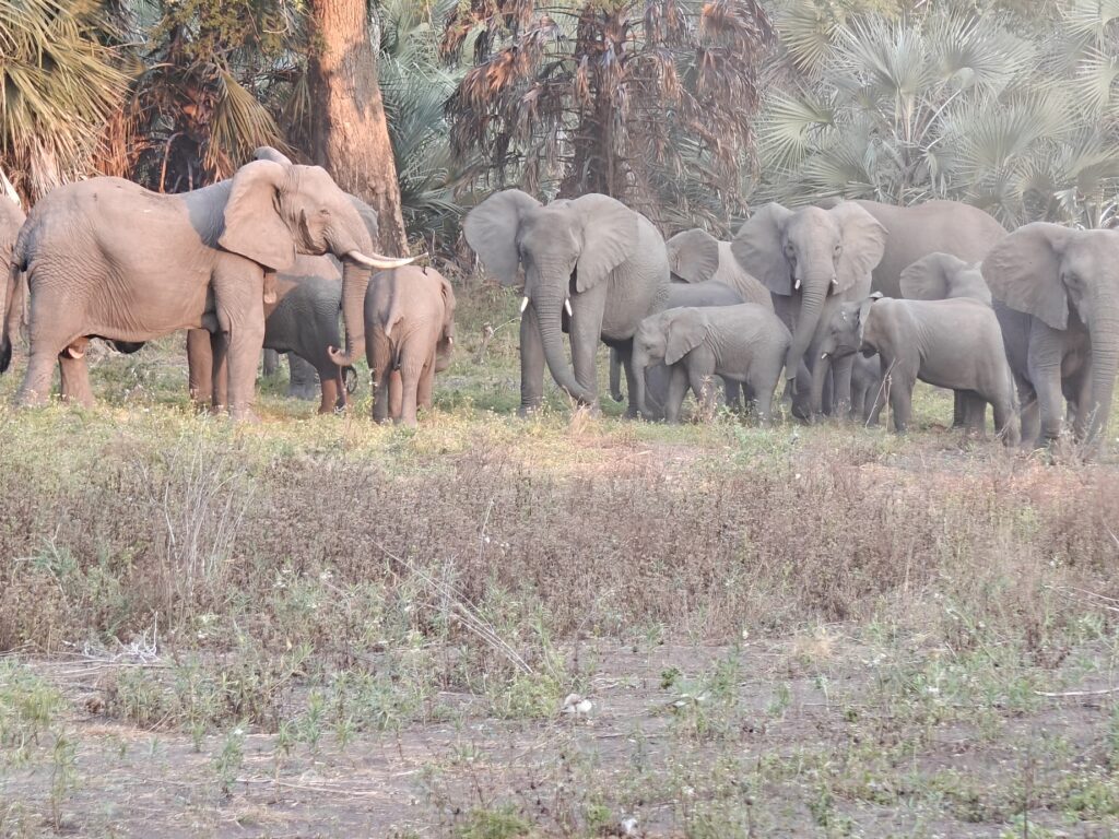
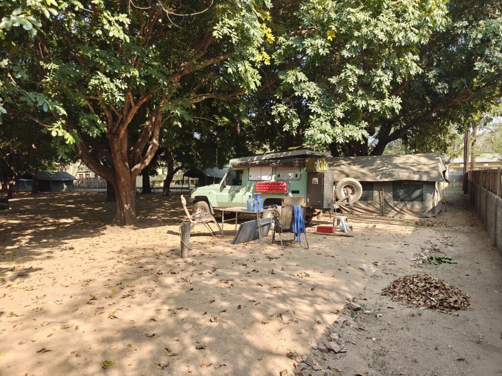
I camped at the main lodge and campsite in the Park called Chitengo. The setting was very Kruger-like. Chitengo is essentially a city comprised of a conference center, airstrip, dozens of bungalows and many dozens of tents of different luxuries, pool, restaurant, activities center, and a sprawling staff housing compound. The campground was an enclosed area with dozens of platform tents. I parked the Green Dragon in one of a few sites for vehicles between the tents. Note, there were aalmost no private vehicles here as most people either fly in or get picked up at the nearby town. The most, if not only, redeeming feature of the campground was the dense canopy of shade trees – and they did have a hot shower too. Not my kind of camping but I had no other choice. Here’s a photo of my campsite:
Here’s my composite video of my visit to Gorongosa National Park:
Gorongosa National Park composite (8 minutes)
New Species:
- Lizard buzzard
- Common scimitarbill
- Gray-headed bushshrike
- Dark-backed weaver
- Stierling’s wren-warbler
- Terrestrial brownbul
- Little sparrowhawk
- Yellow-throated bush sparrow
- African penduline tit
- Red-faced crombec
- African skimmer
- Square-tailed nightjar
Hi Kevin,
Sometimes Yaron gets the video first
ahead of the blog so we watched that first. I’m glad you decided against crossing the river on that makeshift boat! The highways sound so scary.
You do have a beautiful shade tree over the green dragon!
Didn’t sound like the last couple of days were fun or very interesting. Lots of misinformation for your drive and definitely not you type of campground. The nice part is this only happens on occasion and the rest of your trip has been great. Hang in there.
Love you, Joan
Wow, Kevin. You are seeing some great new bird species. You must be working hard at it, especially with the distribution maps not trustworthy. And I noticed that Yellow-thoated bush sparrow sure looks like a female House sparrow, doesn’t it? Glad the birds are providing you with additional variety of species, with most of the mammals you having seen before. Hope different birds keep appearing as you travel in new environments!
With all your beach time, have you looked into taking up surfing?? Haha!